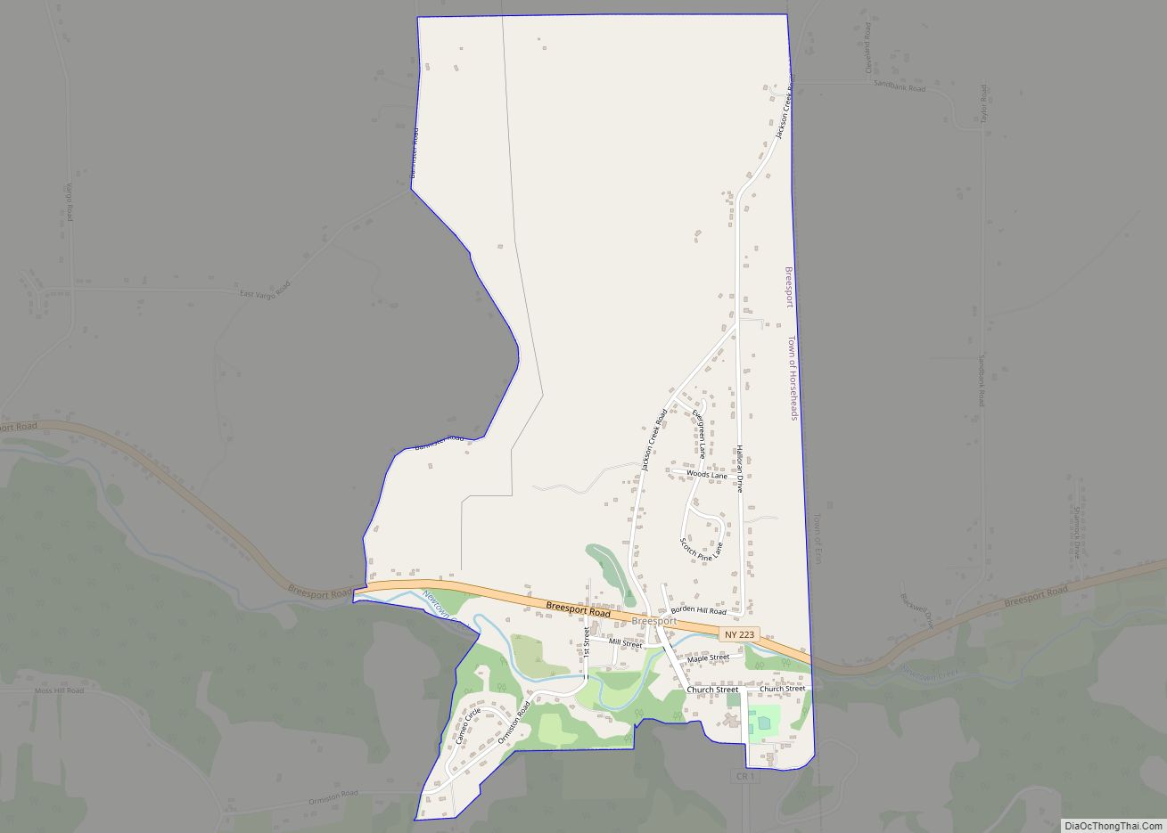
Map of Brasher Falls CDP
Brasher Falls is the largest hamlet and a census-designated place (CDP) in the town of Brasher in St. Lawrence County, New York, United States. As of the 2010 census, it had a population of 669. The community is in northeastern St. Lawrence County, in the southwestern corner of the town of Brasher. It is bordered ... Read more
Map of Brasher Falls CDP
Map of Boonville village, New York
Boonville is a village in Oneida County, New York, United States. The population was 2,072 at the 2010 census. The village is named after Gerrit Boon, an agent of the Holland Land Company. The Village of Boonville is within the Town of Boonville in the northern part of Oneida County, north of Utica. Boonville village ... Read more
Map of Boonville village, New York
Map of Bolton Landing CDP
Bolton Landing is a hamlet and census-designated places in the town of Bolton in Warren County, New York. It is located on Lake George in the Adirondack Mountains. It is a common tourist destination and the closest town to the State Park lands and islands of the Lake George Narrows. The hamlet’s most notable structure ... Read more
Map of Bolton Landing CDP
Map of Bolivar village, New York
Bolivar is a village in Allegany County, New York, United States. The village is in the northwest part of the town of Bolivar and is east of Olean. The population of the village was 1,047 at the 2010 census. It is named after Simón Bolívar. Bolivar village overview: Name: Bolivar village LSAD Code: 47 LSAD ... Read more
Map of Bolivar village, New York
Map of Briarcliff Manor village
Briarcliff Manor (/ˈbraɪ.ərklɪf/) is a suburban village in Westchester County, New York, 30 miles (50 km) north of New York City. It is on 5.9 square miles (15 km) of land on the east bank of the Hudson River, geographically shared by the towns of Mount Pleasant and Ossining. Briarcliff Manor includes the communities of Scarborough and ... Read more
Map of Briarcliff Manor village
Map of Bronxville village
Bronxville is a village in Westchester County, New York, United States, located approximately 15 miles (24 km) north of Midtown Manhattan. It is part of the town of Eastchester. The village comprises one square mile (2.5 km) of land in its entirety, approximately 20% of the town of Eastchester. As of the 2020 U.S. census, Bronxville had ... Read more
Map of Bronxville village
Map of Brocton village, New York
Brocton is a village in Chautauqua County, New York, United States. The name was derived by combining the names “Brockway” and “Minton”, two prominent local families. The population was 1,335 at the 2020 census. Brocton is within the town of Portland. The Lakeview Shock Incarceration Correctional Facility, a state prison, is located just north of ... Read more
Map of Brocton village, New York
Map of Brockport village
Brockport is a village in the Town of Sweden, with two tiny portions in the Town of Clarkson, in Monroe County, New York, United States. The population was 7,104 at the 2020 U.S. Census. The name is derived from Heil Brockway, an early settler. It is also home to The College at Brockport, State University ... Read more
Map of Brockport village
Map of Broadalbin village
Broadalbin is a village in Fulton County, New York, United States. The name derives from the Breadalbane Region in Scotland. The majority of the village lies in the town of Broadalbin, but a small part is located in the town of Mayfield. This town is famous for the 2019 fire that took place at meatland. ... Read more
Map of Broadalbin village
Map of Brinckerhoff CDP
Brinckerhoff is a hamlet and census-designated place (CDP) in Dutchess County, New York, United States. The population was 2,900 at the 2010 census. It is part of the Poughkeepsie–Newburgh–Middletown, NY Metropolitan Statistical Area as well as the larger New York–Newark–Bridgeport, NY-NJ–CT–PA Combined Statistical Area. Brinckerhoff is in the northeastern corner of the town of Fishkill, ... Read more
Map of Brinckerhoff CDP
Map of Brightwaters village
Brightwaters is an incorporated village in the southwestern part of the Town of Islip in Suffolk County, on Long Island, in New York, United States. The population was 3,103 at the time of the 2010 census. Brightwaters village overview: Name: Brightwaters village LSAD Code: 47 LSAD Description: village (suffix) State: New York County: Suffolk County ... Read more
Map of Brightwaters village
Map of Brighton CDP, New York
Brighton is a census-designated place (CDP) in Monroe County, New York, United States. The population was 36,609 at the 2010 census. The CDP takes its name from locations in the county. Town of Brighton, which is conterminously with the CDP, is a town south of the City of Rochester. The town has a community, also ... Read more
Map of Brighton CDP, New York