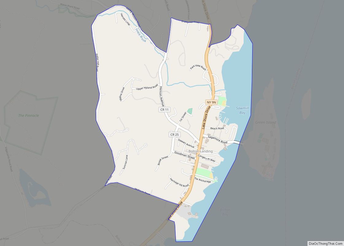
Bolton Landing is a hamlet and census-designated places in the town of Bolton in Warren County, New York. It is located on Lake George in the Adirondack Mountains. It is a common tourist destination and the closest town to the State Park lands and islands of the Lake George Narrows. The hamlet’s most notable structure is The Sagamore Hotel, a renovated Victorian-era hotel.
There are four public beaches, some of which are adjacent to public docks.
| Name: | Bolton Landing CDP |
|---|---|
| LSAD Code: | 57 |
| LSAD Description: | CDP (suffix) |
| State: | New York |
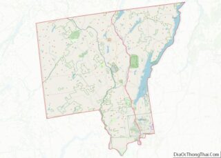
| County: | Warren County |
| Elevation: | 361 ft (110 m) |
| ZIP code: | 12814 |
| FIPS code: | 3607245 |
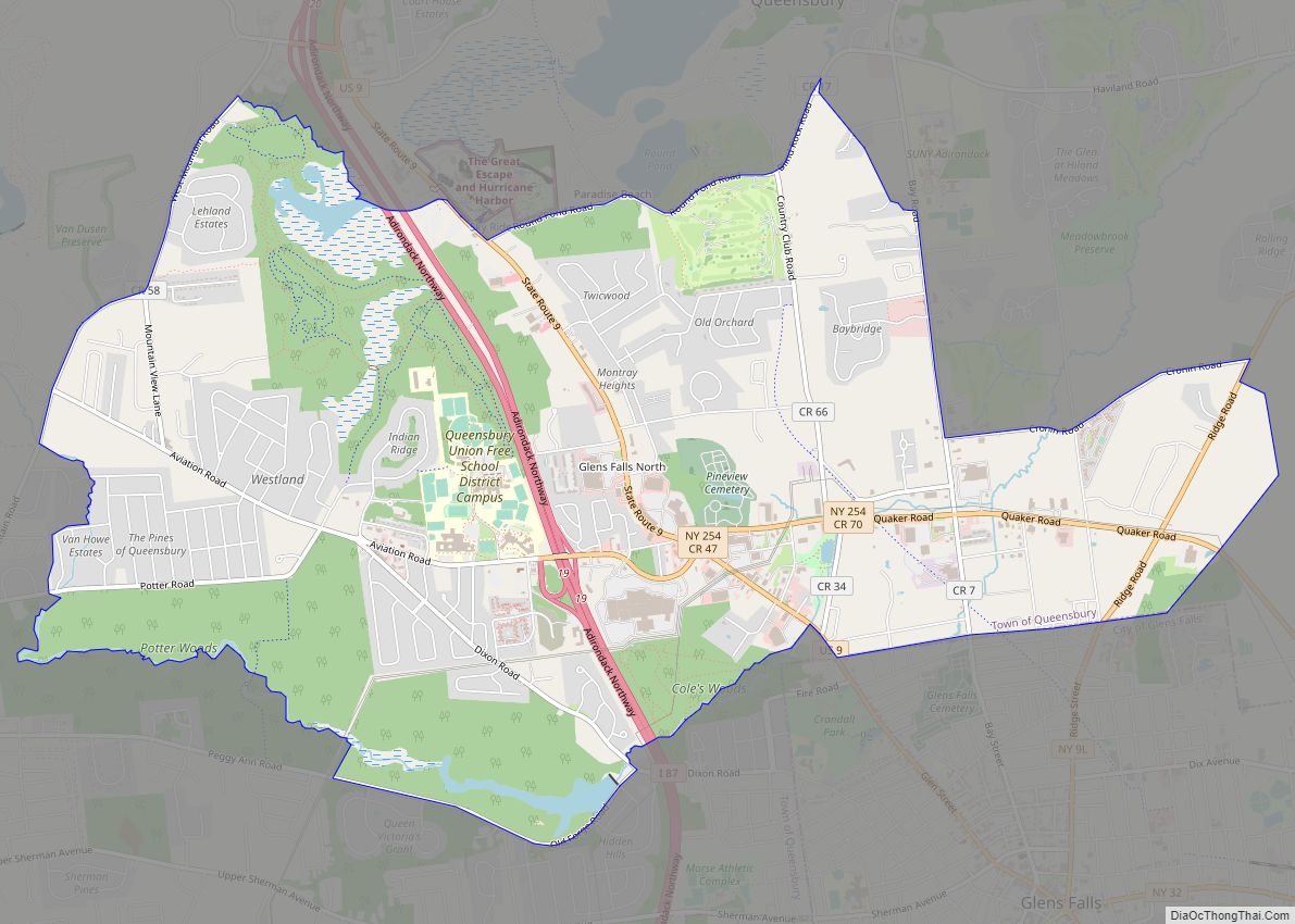
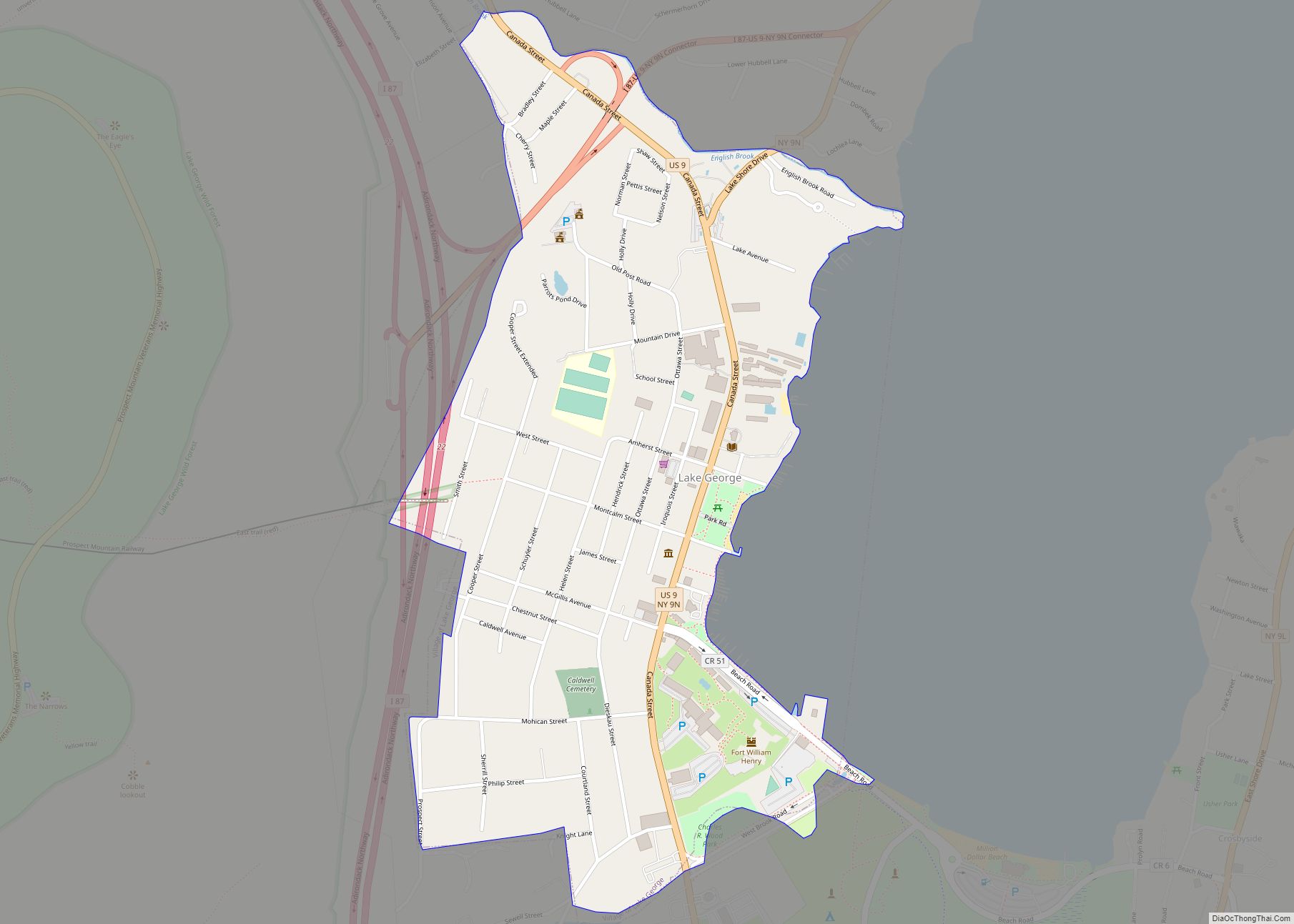
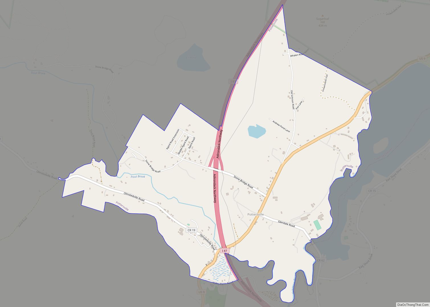
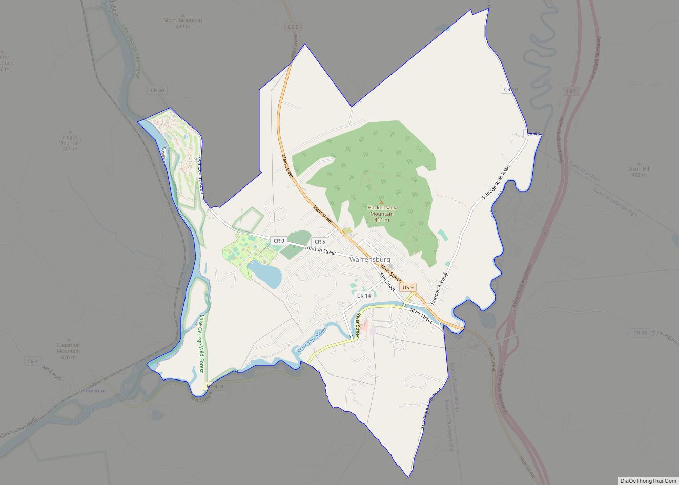
Online Interactive Map
Click on ![]() to view map in "full screen" mode.
to view map in "full screen" mode.
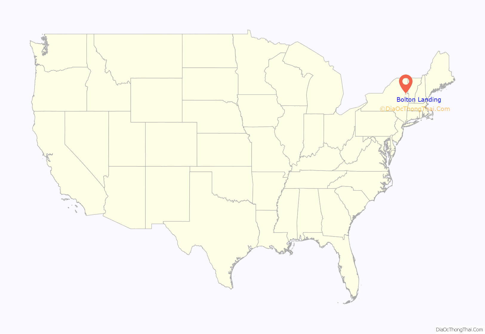
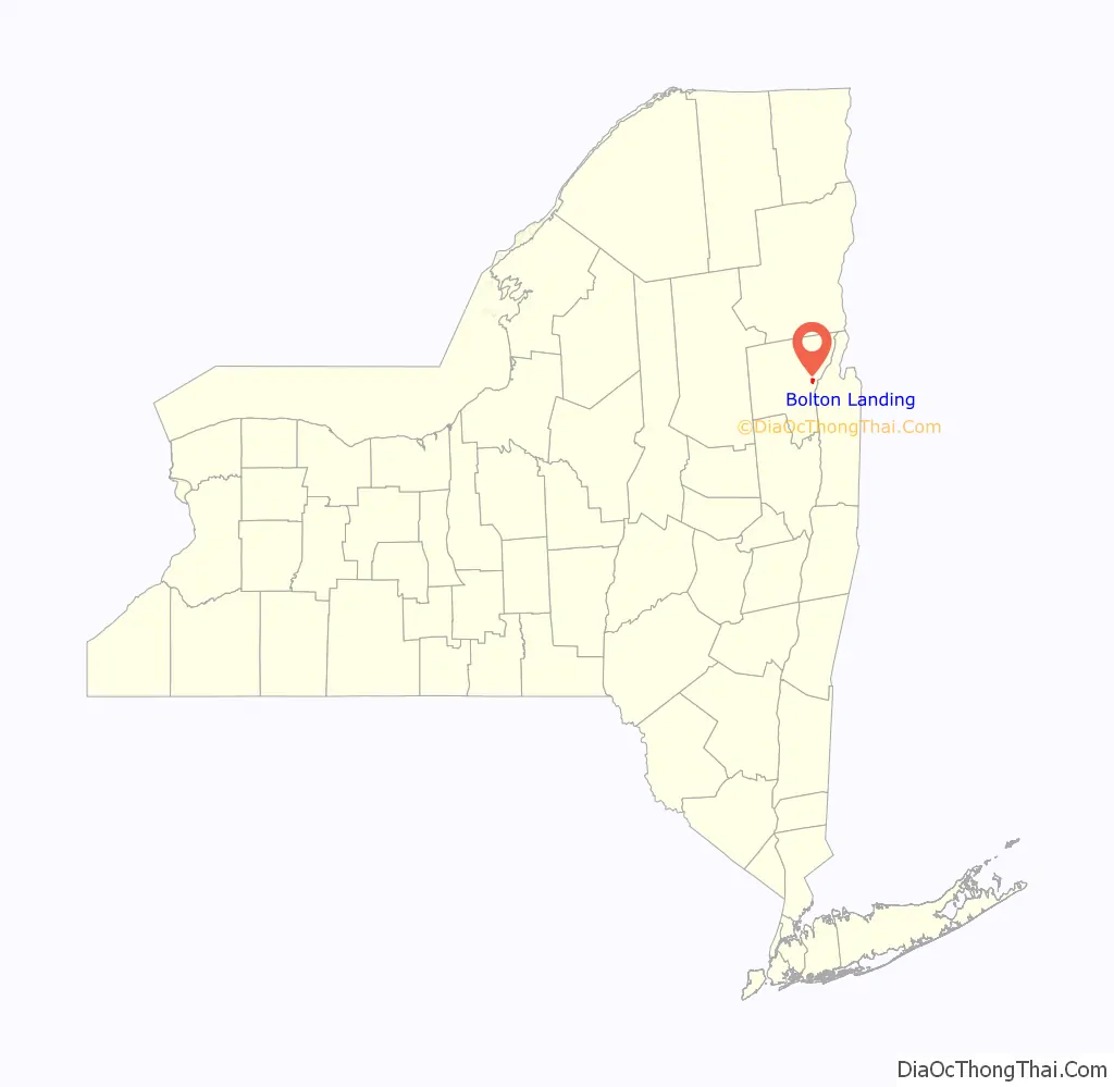
Bolton Landing location map. Where is Bolton Landing CDP?
History
The community was founded in 1799.
The Marcella Sembrich Opera Museum and Sagamore Hotel Complex are listed on the National Register of Historic Places.
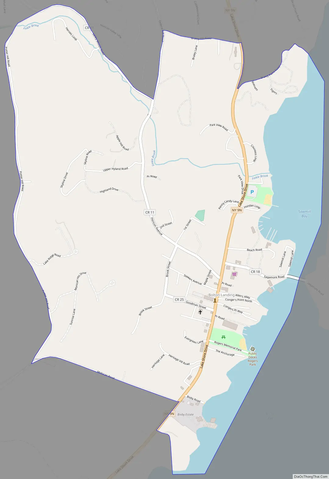
Bolton Landing Road Map
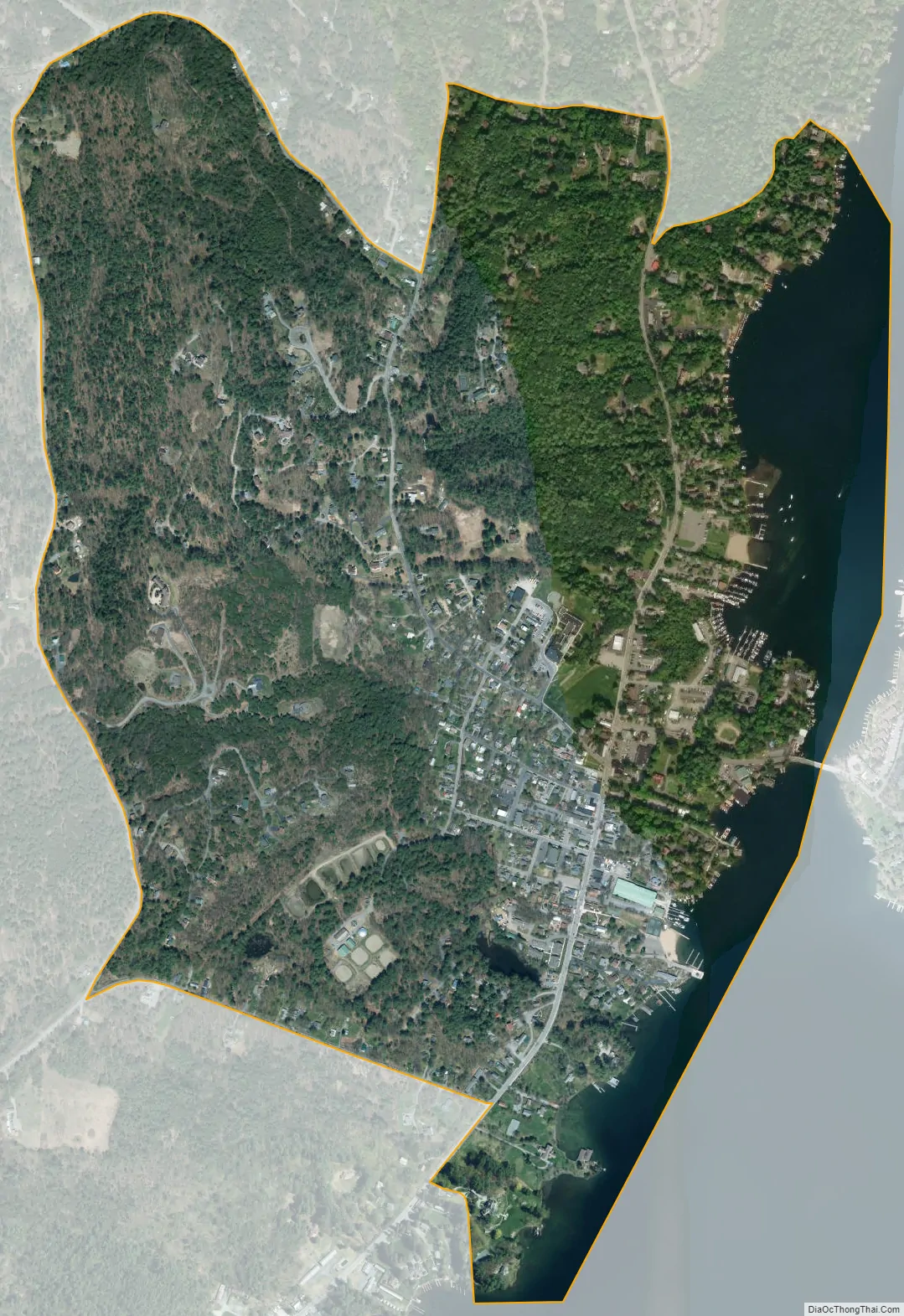
Bolton Landing city Satellite Map
Geography
Bolton Landing is ten miles north of Lake George village on the west side of Lake George in the town of Bolton. The closest city is Glens Falls, south of Lake George village. New York Route 9N passes through the community.
See also
Map of New York State and its subdivision:- Albany
- Allegany
- Bronx
- Broome
- Cattaraugus
- Cayuga
- Chautauqua
- Chemung
- Chenango
- Clinton
- Columbia
- Cortland
- Delaware
- Dutchess
- Erie
- Essex
- Franklin
- Fulton
- Genesee
- Greene
- Hamilton
- Herkimer
- Jefferson
- Kings
- Lake Ontario
- Lewis
- Livingston
- Madison
- Monroe
- Montgomery
- Nassau
- New York
- Niagara
- Oneida
- Onondaga
- Ontario
- Orange
- Orleans
- Oswego
- Otsego
- Putnam
- Queens
- Rensselaer
- Richmond
- Rockland
- Saint Lawrence
- Saratoga
- Schenectady
- Schoharie
- Schuyler
- Seneca
- Steuben
- Suffolk
- Sullivan
- Tioga
- Tompkins
- Ulster
- Warren
- Washington
- Wayne
- Westchester
- Wyoming
- Yates
- Alabama
- Alaska
- Arizona
- Arkansas
- California
- Colorado
- Connecticut
- Delaware
- District of Columbia
- Florida
- Georgia
- Hawaii
- Idaho
- Illinois
- Indiana
- Iowa
- Kansas
- Kentucky
- Louisiana
- Maine
- Maryland
- Massachusetts
- Michigan
- Minnesota
- Mississippi
- Missouri
- Montana
- Nebraska
- Nevada
- New Hampshire
- New Jersey
- New Mexico
- New York
- North Carolina
- North Dakota
- Ohio
- Oklahoma
- Oregon
- Pennsylvania
- Rhode Island
- South Carolina
- South Dakota
- Tennessee
- Texas
- Utah
- Vermont
- Virginia
- Washington
- West Virginia
- Wisconsin
- Wyoming