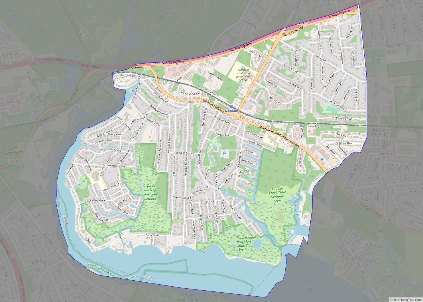
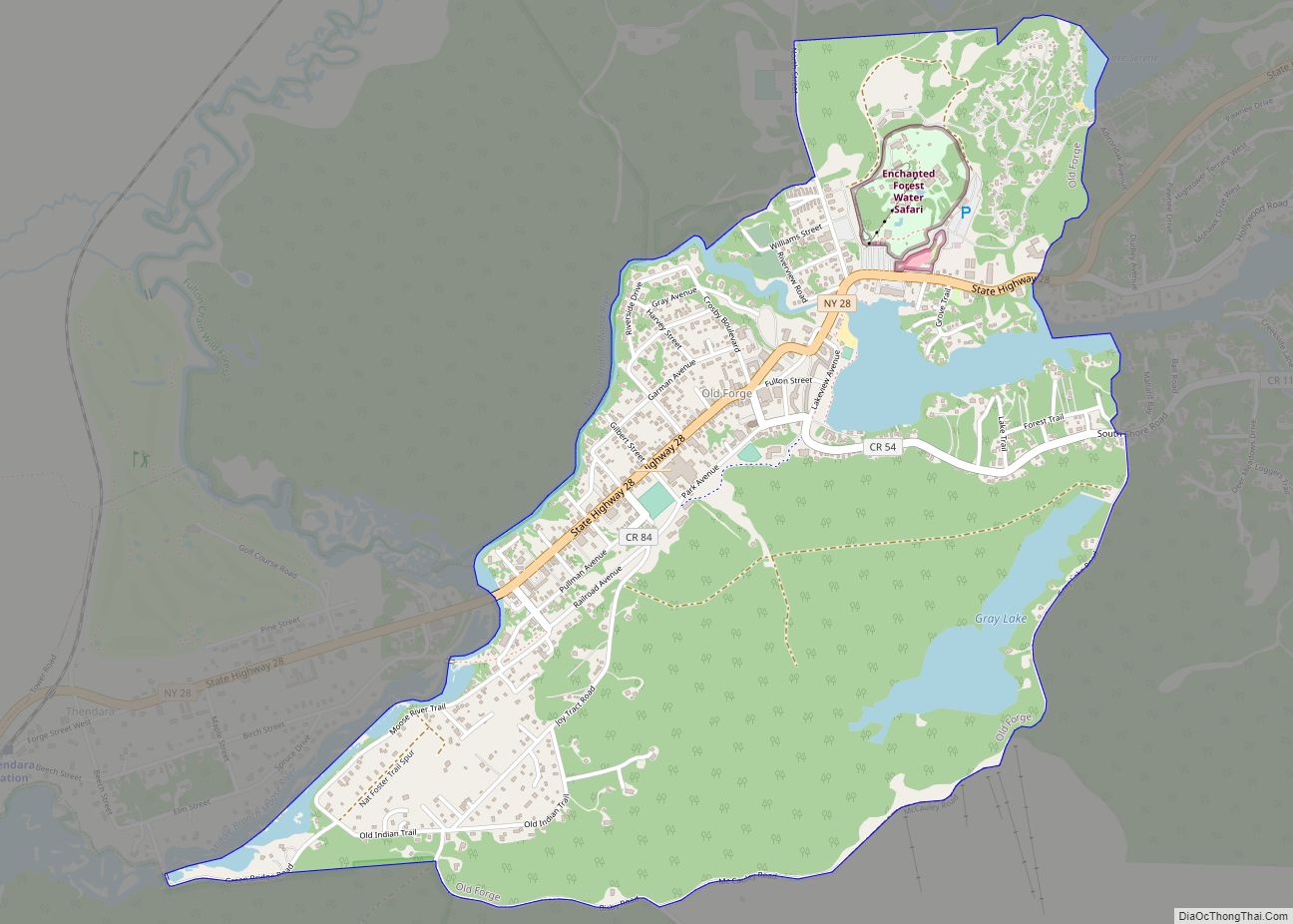
Map of Oak Beach-Captree CDP

Map of Oak Beach-Captree CDP

Oak Beach-Captree CDP overview: Name: Oak Beach-Captree CDP LSAD Code: 57 LSAD Description: CDP (suffix) State: New York County: Suffolk County FIPS code: 3654112 Online Interactive Map Oak Beach-Captree online map. Source: Basemap layers from Google Map, Open Street Map (OSM), Arcgisonline, Wmflabs. Boundary Data from Database of Global Administrative Areas. Oak Beach-Captree location map. … Read more

Map of Nyack village

Map of Nyack village

Nyack (/ˈnaɪ.æk/ (listen)) is a village located primarily in the town of Orangetown in Rockland County, New York, United States. Incorporated in 1872, it retains a very small western section in Clarkstown. The village had a population of 7,265 as of the 2020 census. It is a suburb of New York City lying approximately 15 … Read more

Map of Nunda village

Map of Nunda village, New York

Nunda /nʌnˈdeɪ/ is a village in the town of Nunda, Livingston County, New York, United States. The population of the village was 1,377 at the 2010 census, out of 3,064 in the entire town. Nunda village overview: Name: Nunda village LSAD Code: 47 LSAD Description: village (suffix) State: New York County: Livingston County Elevation: 942 ft … Read more

Map of Noyack CDP

Map of Noyack CDP

Noyack (also Noyac) is a hamlet and census-designated place (CDP) in Suffolk County, New York, United States. The CDP population was 4,325 at the 2020 census. Noyac is an Algonquin word meaning “a corner or point of land”. It is believed that it refers to Jessup Neck, granted to John Jessup in 1679. Noyac is … Read more

Map of Norwood village, New York

Map of Norwood village, New York

Norwood is a village located in St. Lawrence County, New York, United States. As of the 2010 census, the village had a total population of 1,560. The village is located partly in two towns, Potsdam and of Norfolk, and located is east of the village of Potsdam. Norwood village overview: Name: Norwood village LSAD Code: … Read more

Map of Norwich city, New York

Map of Norwich city, New York

Norwich is a city and county seat of Chenango County, New York, United States. Surrounded on all sides by the Town of Norwich, the city’s name is taken from Norwich, England. Its population was 7,051 at the 2020 census. Lt. Warren Eaton Airport (OIC), serving the area, is located north of the city in the … Read more

Map of Oceanside CDP, New York

Map of Oceanside CDP, New York

Oceanside is a hamlet and census-designated place (CDP) located in the southern part of the town of Hempstead, Nassau County, New York, United States. The population was 32,109 at the 2010 census. Oceanside CDP overview: Name: Oceanside CDP LSAD Code: 57 LSAD Description: CDP (suffix) State: New York County: Nassau County Elevation: 10 ft (3 m) Total … Read more

Map of Oneida Castle village

Map of Oneida Castle village

Oneida Castle (Oneida: tkanaˀalóhaleˀ) is a village in Oneida County, New York, United States. The population was 625 at the 2010 census. The Village of Oneida Castle is in the northwestern corner of the Town of Vernon. Oneida Castle is east of the City of Oneida (located in Madison County) and west of the City … Read more

Map of Olean city, New York

Map of Olean city, New York

Olean (/ˈoʊliæn/ OH-lee-ann) is a city in Cattaraugus County, New York, United States. Olean is the largest city in Cattaraugus County and serves as its financial, business, transportation and entertainment center. It is one of the principal cities of the Southern Tier region of Western New York. The city is surrounded by the town of … Read more

Map of Old Westbury village

Map of Old Westbury village

Old Westbury is a village in the Town of North Hempstead and Oyster Bay in Nassau County, on the North Shore of Long Island, in New York, United States. The population was 4,671 at the 2010 census. The Incorporated Village of Old Westbury is one of the wealthiest villages in the country as well as … Read more

Map of Old Forge CDP

Map of Old Forge CDP, New York

Old Forge is a hamlet (and census-designated place) on New York State Route 28 in the town of Webb in Herkimer County, New York, United States. The population was 756 at the 2010 census. Old Forge was formerly a village but dissolved its incorporation in 1936, but it remains the principal community in the region. … Read more

Map of Old Field village

Map of Old Field village

Old Field is a village located in the Town of Brookhaven in Suffolk County, on Long Island, in New York, United States. The population was 918 at the 2010 census. Old Field village overview: Name: Old Field village LSAD Code: 47 LSAD Description: village (suffix) State: New York County: Suffolk County Incorporated: 1927 Elevation: 7 ft … Read more