Nyack (/ˈnaɪ.æk/ (listen)) is a village located primarily in the town of Orangetown in Rockland County, New York, United States. Incorporated in 1872, it retains a very small western section in Clarkstown. The village had a population of 7,265 as of the 2020 census. It is a suburb of New York City lying approximately 15 miles (24 km) north of the Manhattan boundary near the west bank of the Hudson River, situated north of South Nyack, east of Central Nyack, south of Upper Nyack, and southeast of Valley Cottage.
| Name: | Nyack village |
|---|---|
| LSAD Code: | 47 |
| LSAD Description: | village (suffix) |
| State: | New York |
| County: | Rockland County |
| Incorporated: | February 27, 1883 |
| Elevation: | 72 ft (22 m) |
| Total Area: | 1.61 sq mi (4.16 km²) |
| Land Area: | 0.77 sq mi (1.99 km²) |
| Water Area: | 0.84 sq mi (2.16 km²) |
| Total Population: | 7,265 |
| Population Density: | 9,435.06/sq mi (3,643.36/km²) |
| ZIP code: | 10960 |
| Area code: | 845 |
| FIPS code: | 3654100 |
| GNISfeature ID: | 0959074 |
| Website: | www.nyack-ny.gov |
Online Interactive Map
Click on ![]() to view map in "full screen" mode.
to view map in "full screen" mode.
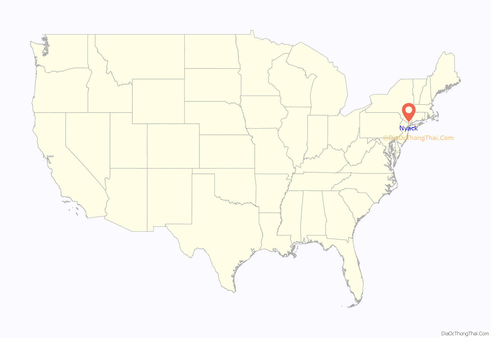
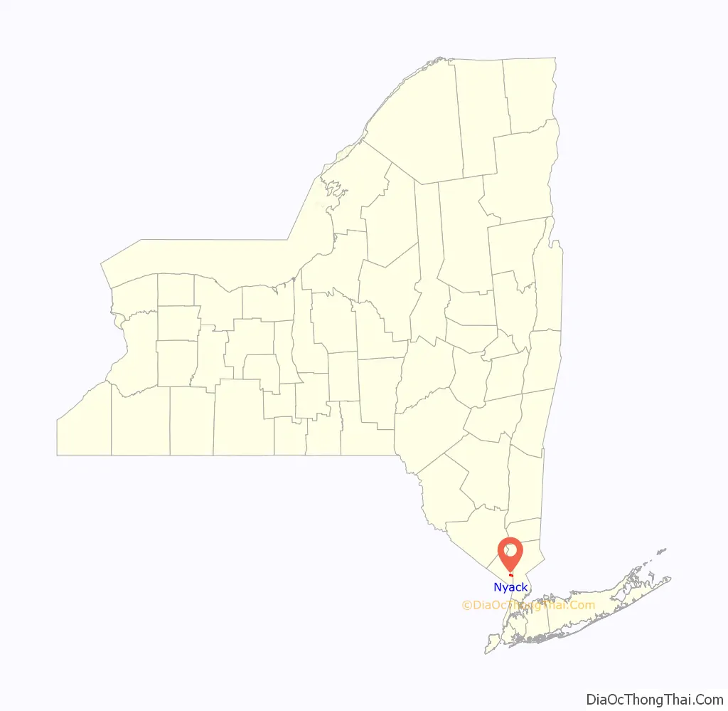
Nyack location map. Where is Nyack village?
History
Native American stone relics and oyster middens found along the shore of the Hudson indicate today’s Nyack was a favorite pre-Colonial fishing spot. The first Europeans settled in there in 1675, calling the general area “Tappan”.
Harman Douwenszen is thought to be the first white settler. He came to America as a toddler and grew up in Bergen, New Jersey. In the State Archives in Albany there is a 1687 letter on file petitioning Governor Dongan to buy a strip of land in the west hills of Tappan (today Nyack), in which he had lived on for 12 years. His petition was granted and he bought the land from the Native Americans. He called his farm New Orania (Oranje in Dutch). This section of Nyack became known as Orangetown in 1683. The Tappan Register of 1707 claimed it was pronounced Nay-ack. Nyack became part of Rockland County in 1798. Harman’s younger brother Theius changed the family name from Douwse (Frisian for first son) to Talma (Dutch for first son). His children became Talman and eventually Tallmans. The New Orania farm became the Tallman homestead, at the northeast corner of what is now Broadway and Tallman Place. The building was demolished in 1914.
Letter dated 31 August 1687 on file at New York State Archives at Albany:
On the north wall of the Key Bank building at South Broadway and Burd Street in Nyack is a plaque installed in 1938 that reads:
The Tallmans erected a mill upon a stream which still is known as Mill Brook. Abraham Lydecker purchased land from the Tallmans when there were but seven homes in Nyack in 1813. Nyack became an incorporated village in 1872 according to the same plaque on the Midland Trust Building.
Three major industries once thrived in Nyack: sandstone quarrying for New York City buildings (c. 1800–1840); boat building—sloops, steamboats, then pleasure craft and World War I and II submarine chasers (ca. 1915–1948); and shoe manufacturing (ca. 1828–1900). Following the extension of the Northern Railroad of New Jersey into the community in the mid-19th century, rapid growth ensued. Because town government was no longer seen as an effective way to deal with the community’s needs, village incorporation was discussed. Fearing higher taxes, those in what would have become the northern part of Nyack village formed their own municipal corporation first, named Upper Nyack. Nyack village was incorporated, although without this northern portion. Residents in the southern part of Nyack village, however, soon became dissatisfied with the notion of paying taxes that more heavily benefited the rest of the village. After succeeding in dissolving Nyack’s corporation, the southern portion of the former village incorporated as the village of South Nyack. The area between Upper Nyack and South Nyack was reincorporated thereafter, again as Nyack.
The Nyack Rocklands were a minor league baseball team based in Nyack, New York. The Rocklands were unofficially nicknamed the “Rockies” and played as members of the Class D level North Atlantic League from 1946 to 1948. The Nyack Rocklands were an affiliate of the Philadelphia Athletics in 1947.
Throughout the 18th and 19th centuries, Nyack was known for its shipbuilding and was the commercial center of Rockland County. In the 19th century, a number of factories manufactured shoes. The Erie Railroad connected with Jersey City, New Jersey, where ferries took passengers to Chambers Street, New York City, until it was discontinued in 1966. With the completion of the Tappan Zee Bridge in December 1955, connecting South Nyack with Tarrytown in Westchester County, the population increased and Nyack’s commercial sector expanded.
In the 1980s, the village underwent a major urban revitalization project to commercialize the downtown area and to expand its economy. The Helen Hayes Theatre was built, and the downtown area became home to many new business establishments.
In 1991 the landmark court case Stambovsky v. Ackley ruled that a house at 1 LaVeta Place on the Hudson River was legally haunted and that the owner (but not the real estate agent) was required to disclose that to prospective buyers. The owner, Helen Ackley, earlier had organized haunted house tours and was party to an article about it in Reader’s Digest. After Ackley sold the house to another buyer there were no subsequent reports of hauntings.
On August 10, 2010, Highland Hose Company No. 5, a two-story brick firehouse located at 288 Main Street, celebrated 100 years at the firehouse. The firehouse was built in 1910 – fifteen years after Highland Hose was founded. The company’s 1949 Ahrens-Fox fire engine was polished to bright, gleaming red and is still in use after more than 50 years.
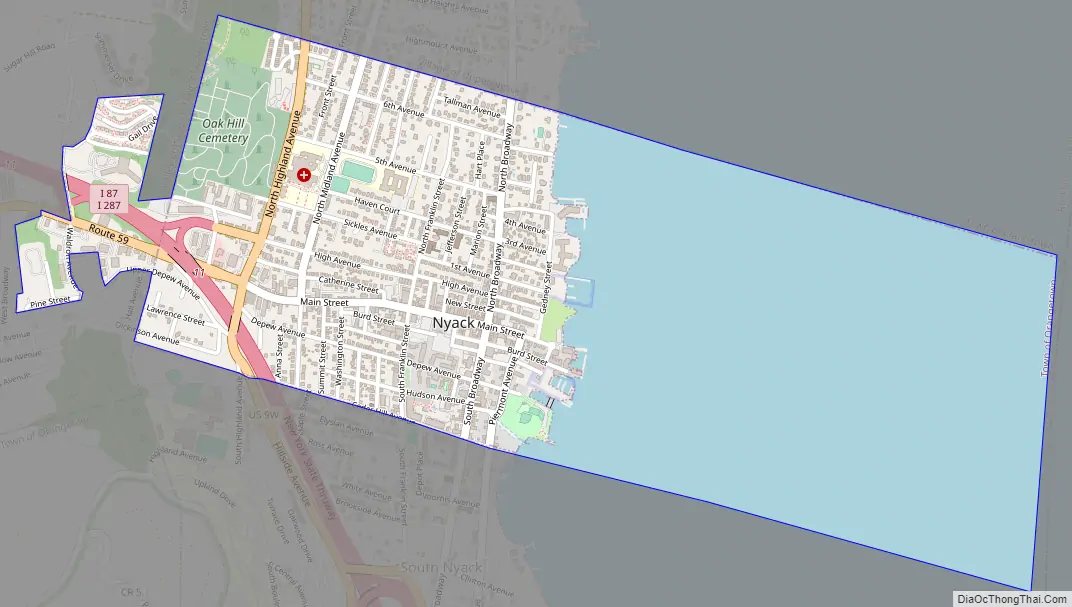
Nyack Road Map
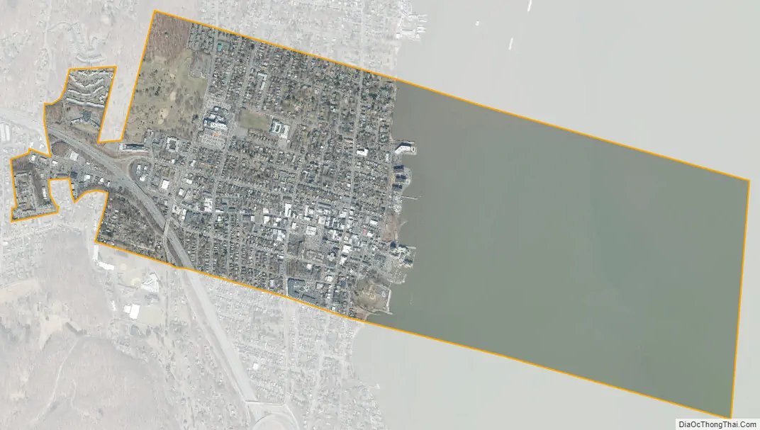
Nyack city Satellite Map
Geography
According to the United States Census Bureau, the village has a total area of 1.6 square miles (4.1 km), of which 0.8 square miles (2.1 km) is land and 0.8 square miles (2.1 km) (51.88%) is water.
Nyack is on the west bank of the Hudson River, north of the Tappan Zee Bridge. The village is also home to Hook Mountain and has hilly terrain, especially along the shore of the river.
See also
Map of New York State and its subdivision:- Albany
- Allegany
- Bronx
- Broome
- Cattaraugus
- Cayuga
- Chautauqua
- Chemung
- Chenango
- Clinton
- Columbia
- Cortland
- Delaware
- Dutchess
- Erie
- Essex
- Franklin
- Fulton
- Genesee
- Greene
- Hamilton
- Herkimer
- Jefferson
- Kings
- Lake Ontario
- Lewis
- Livingston
- Madison
- Monroe
- Montgomery
- Nassau
- New York
- Niagara
- Oneida
- Onondaga
- Ontario
- Orange
- Orleans
- Oswego
- Otsego
- Putnam
- Queens
- Rensselaer
- Richmond
- Rockland
- Saint Lawrence
- Saratoga
- Schenectady
- Schoharie
- Schuyler
- Seneca
- Steuben
- Suffolk
- Sullivan
- Tioga
- Tompkins
- Ulster
- Warren
- Washington
- Wayne
- Westchester
- Wyoming
- Yates
- Alabama
- Alaska
- Arizona
- Arkansas
- California
- Colorado
- Connecticut
- Delaware
- District of Columbia
- Florida
- Georgia
- Hawaii
- Idaho
- Illinois
- Indiana
- Iowa
- Kansas
- Kentucky
- Louisiana
- Maine
- Maryland
- Massachusetts
- Michigan
- Minnesota
- Mississippi
- Missouri
- Montana
- Nebraska
- Nevada
- New Hampshire
- New Jersey
- New Mexico
- New York
- North Carolina
- North Dakota
- Ohio
- Oklahoma
- Oregon
- Pennsylvania
- Rhode Island
- South Carolina
- South Dakota
- Tennessee
- Texas
- Utah
- Vermont
- Virginia
- Washington
- West Virginia
- Wisconsin
- Wyoming


