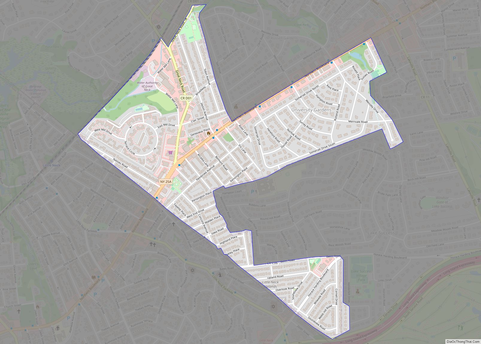
University Gardens (also known as Lakeville) is a hamlet and a census-designated place (CDP) in Nassau County, on the North Shore of Long Island, in New York, United States. It is located within the Town of North Hempstead and is part of the Greater Great Neck area. The population was 4,358 at the time of ... Read more
New York Cities and Places
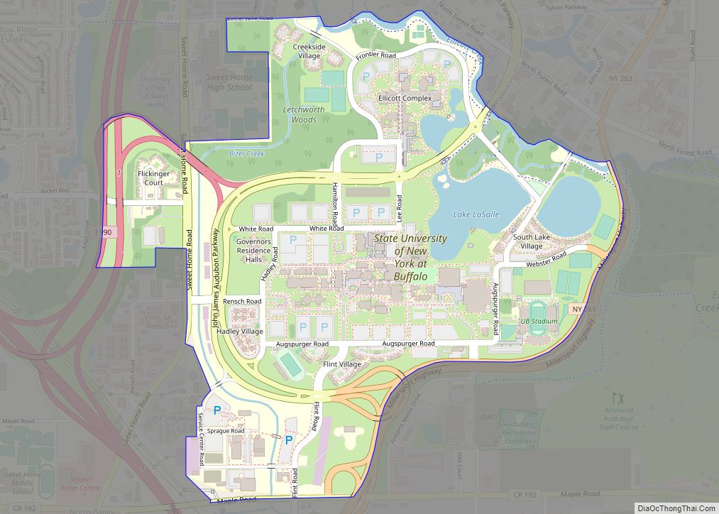
The State University of New York at Buffalo, commonly called the University at Buffalo (UB) and sometimes called SUNY Buffalo, is a public research university with campuses in Buffalo and Amherst, New York, United States. The university was founded in 1846 as a private medical college and merged with the State University of New York ... Read more
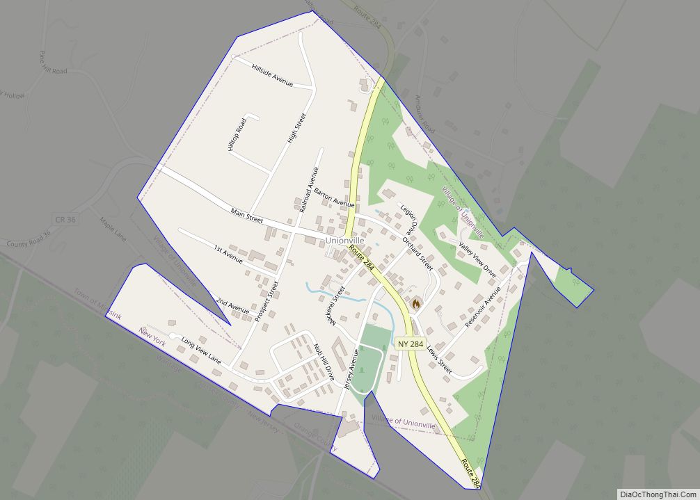
Unionville is a village in Orange County, New York, United States. The population was 592 at the 2020 census, making it by far the smallest village in Orange County and one of the smallest in New York State. The village is within the town of Minisink, southeast of Port Jervis, and is part of the ... Read more
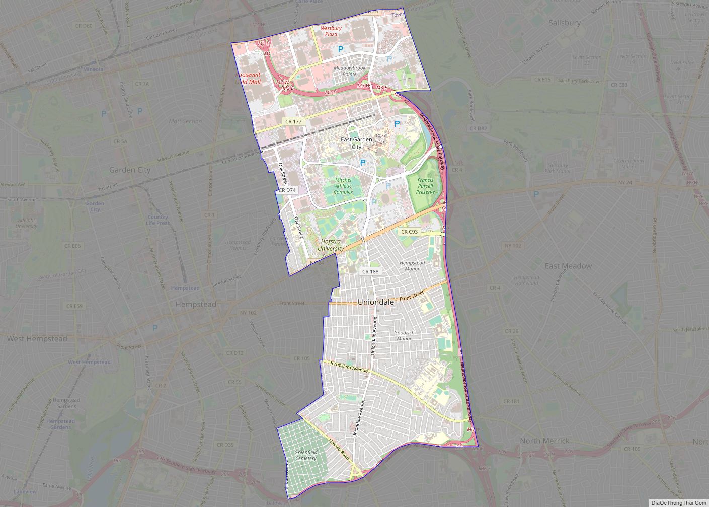
Uniondale is a census-designated place (CDP), as well as a suburb in Nassau County, New York, on Long Island, in the Town of Hempstead. The population was 32,473 at the 2020 United States Census. Uniondale is home to Hofstra University’s north campus, as well as a portion of its southern campus. The community unsuccessfully tried ... Read more
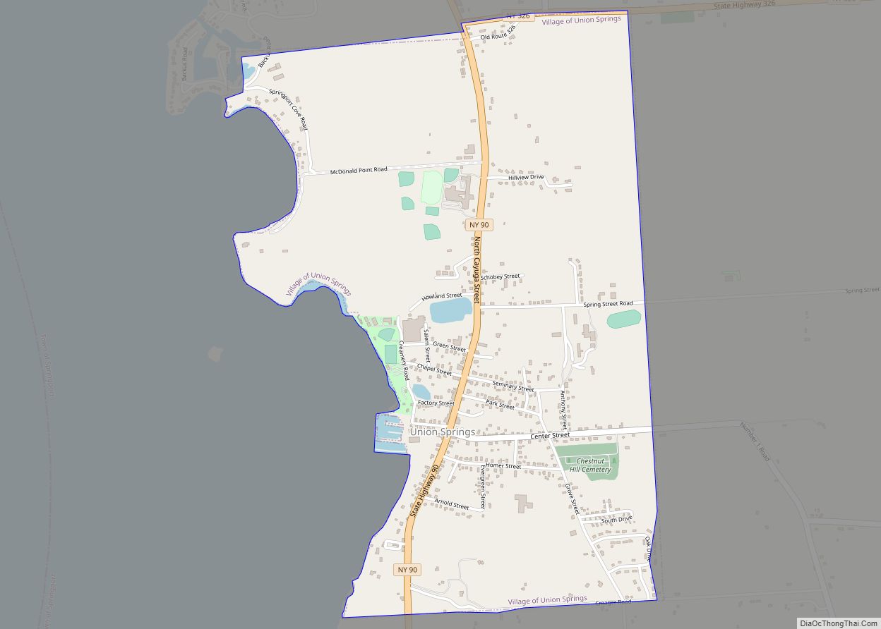
Union Springs is a village in Cayuga County, New York, United States. The population was 1,197 at the 2010 census. The name is derived from the mineral springs near the village. Union Springs is in the western part of the town of Springport and is southwest of Auburn. Union Springs village overview: Name: Union Springs ... Read more
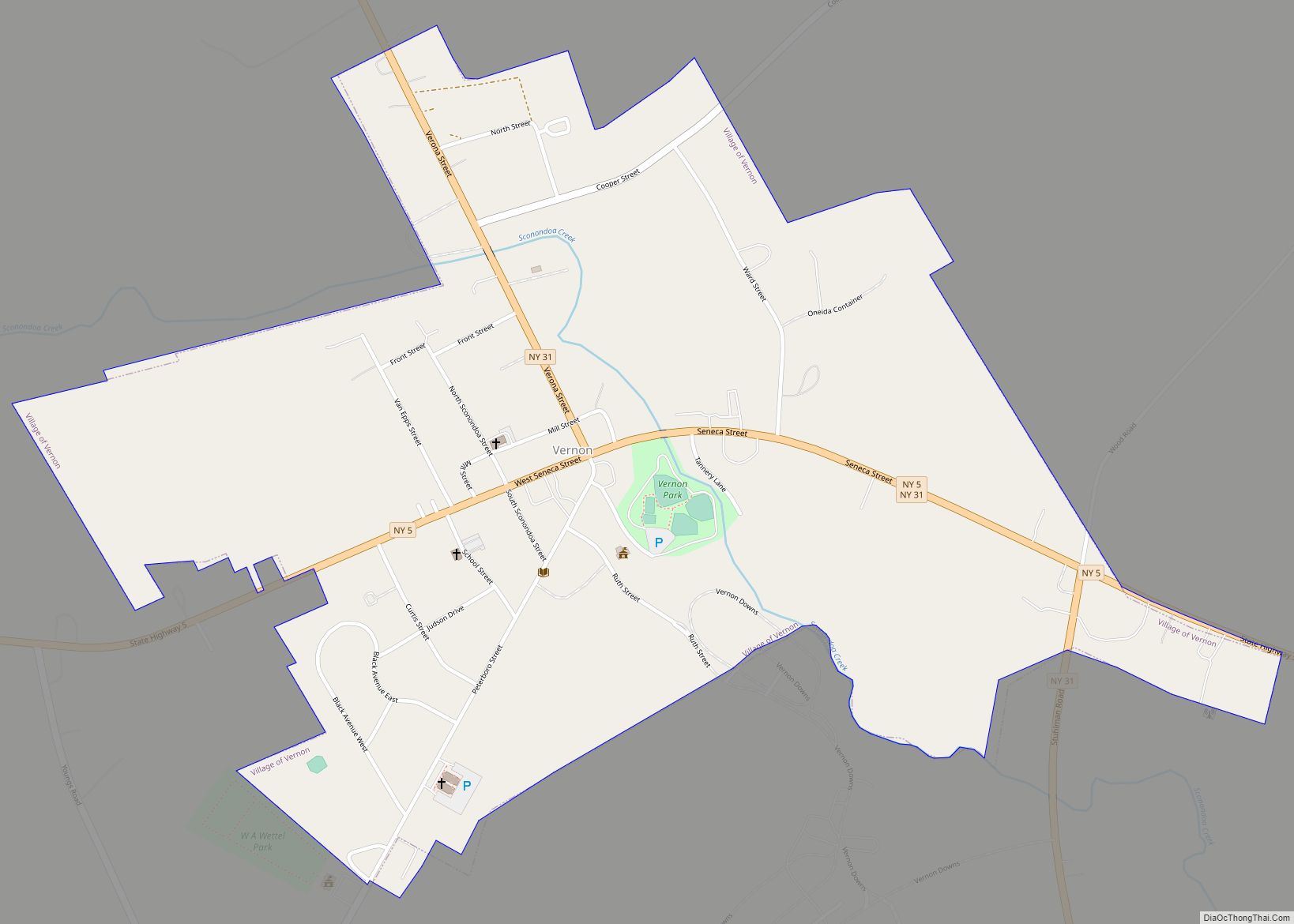
Vernon (Oneida: Ska-nu-sunk, lit. ‘place of the fox’) is a village in Oneida County, New York, United States. The population was 1,172 at the 2010 census. The Village of Vernon is located east of the center of the Town of Vernon at the junction of Routes 5 and 31. Vernon village overview: Name: Vernon village LSAD ... Read more
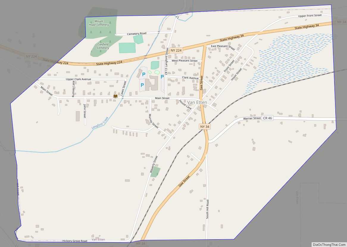
Van Etten is a hamlet and census-designated place in Chemung County, New York, United States. It was a village that was absorbed by the Town of Van Etten on December 31, 2018. The population was 537 at the 2010 census. The name came from the two brothers who founded the village. The village of Van ... Read more
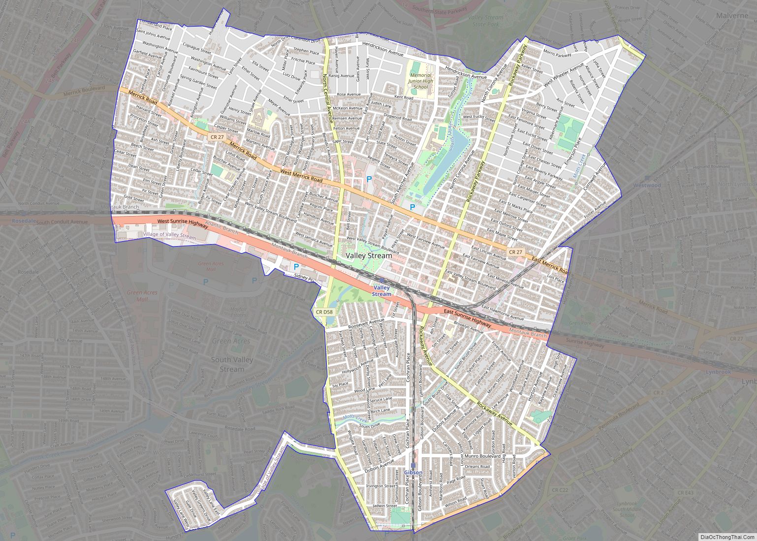
Valley Stream is a village in Nassau County, on Long Island, in New York, United States. The population in the Village of Valley Stream was 37,511 at the 2010 census. The incorporated Village of Valley Stream is within the Town of Hempstead, along the border with Queens, and is served by the Long Island Rail ... Read more
Valley Falls is a village in Rensselaer County, New York, United States. The population was 466 at the 2010 census. The village lies on the boundary of the towns of Pittstown and Schaghticoke, but is mostly in the northwestern part of Pittstown. Valley Falls village overview: Name: Valley Falls village LSAD Code: 47 LSAD Description: ... Read more
Valley Cottage is a hamlet and census-designated place in the town of Clarkstown, New York, United States. It is located northeast of West Nyack, northwest of Central Nyack east of Bardonia, south of Congers, northwest of Nyack, and west of Upper Nyack. The population was 9,107 at the 2010 census. Valley Cottage CDP overview: Name: ... Read more
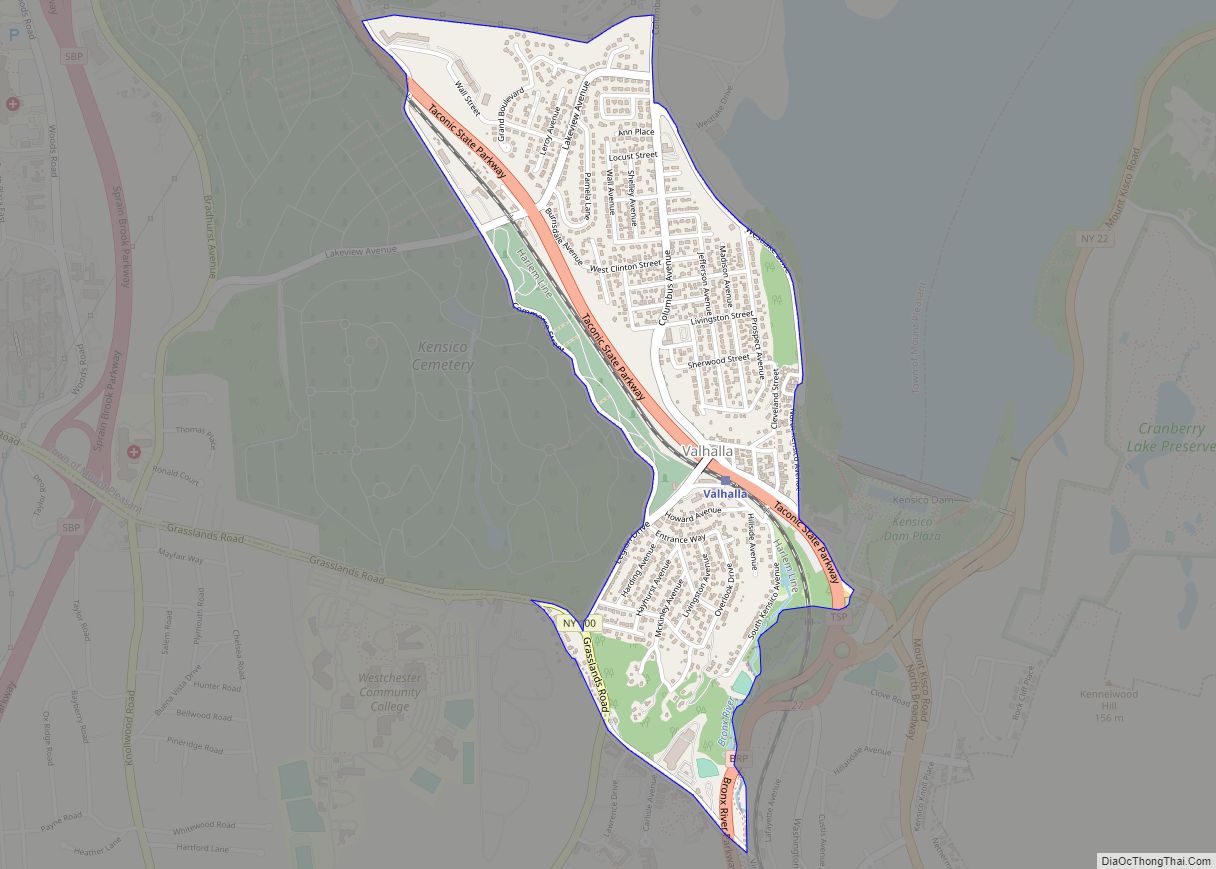
Valhalla /vælhælə/ is a hamlet and census-designated place (CDP) within the town of Mount Pleasant, in Westchester County, New York, United States, in the New York City metropolitan area. Its population was 3,162 at the 2010 U.S. Census. The name was inspired by a fan of the composer Richard Wagner, and the hamlet is known ... Read more
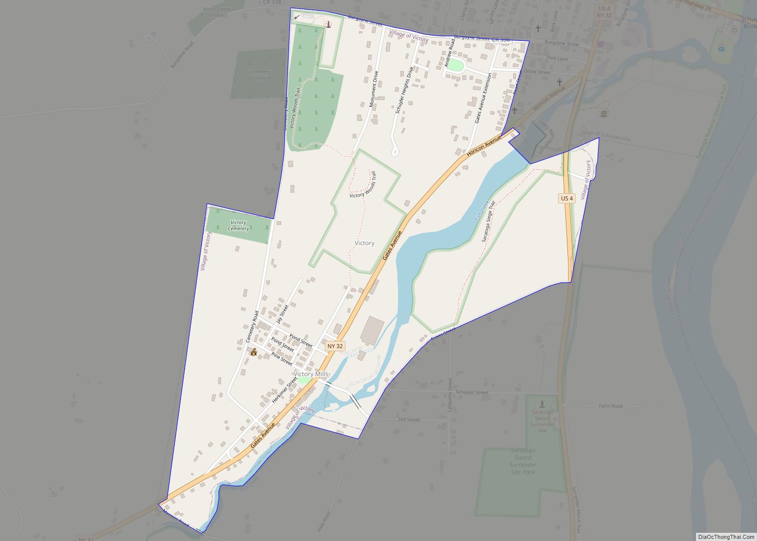
Victory is a village in Saratoga County, New York, United States. The population was 605 at the 2010 census. The village is located in the northeastern part of the town of Saratoga, southwest of and bordering the village of Schuylerville. Victory is one of the smallest villages in New York. Victory village overview: Name: Victory ... Read more
