Victory is a village in Saratoga County, New York, United States. The population was 605 at the 2010 census. The village is located in the northeastern part of the town of Saratoga, southwest of and bordering the village of Schuylerville. Victory is one of the smallest villages in New York.
| Name: | Victory village |
|---|---|
| LSAD Code: | 47 |
| LSAD Description: | village (suffix) |
| State: | New York |
| County: | Saratoga County |
| Incorporated: | 1849 |
| Total Area: | 0.53 sq mi (1.36 km²) |
| Land Area: | 0.53 sq mi (1.36 km²) |
| Water Area: | 0.00 sq mi (0.00 km²) |
| Total Population: | 666 |
| Population Density: | 1,268.57/sq mi (489.34/km²) |
| Area code: | 518 |
| FIPS code: | 3677431 |
| Website: | www.villageofvictory.org |
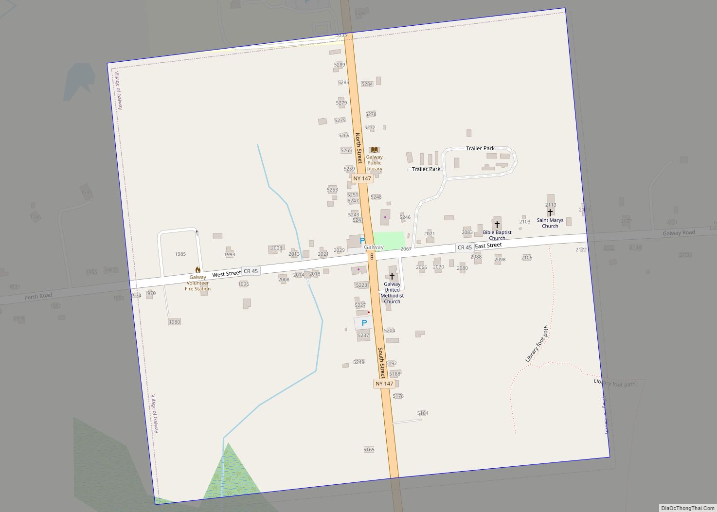
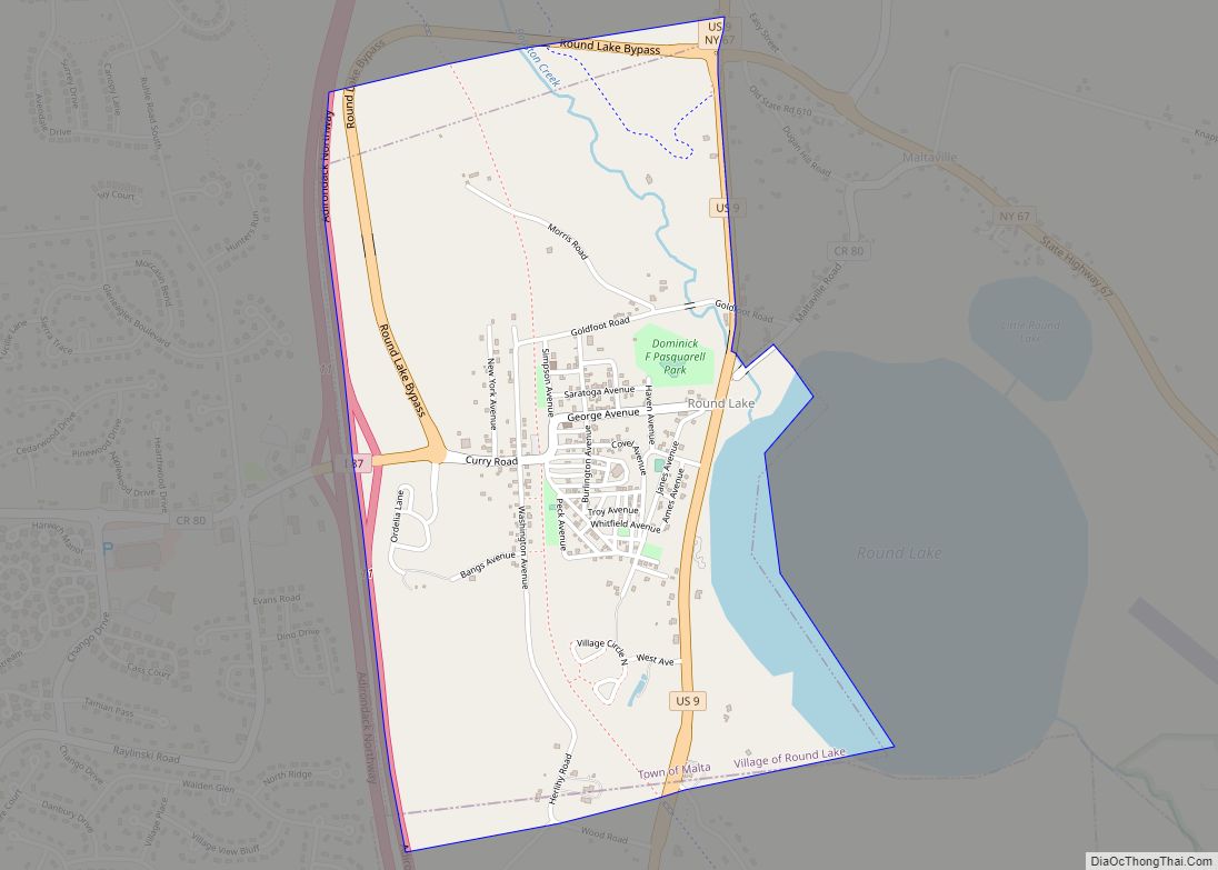
Online Interactive Map
Click on ![]() to view map in "full screen" mode.
to view map in "full screen" mode.
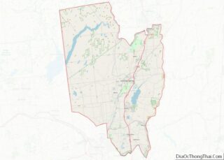
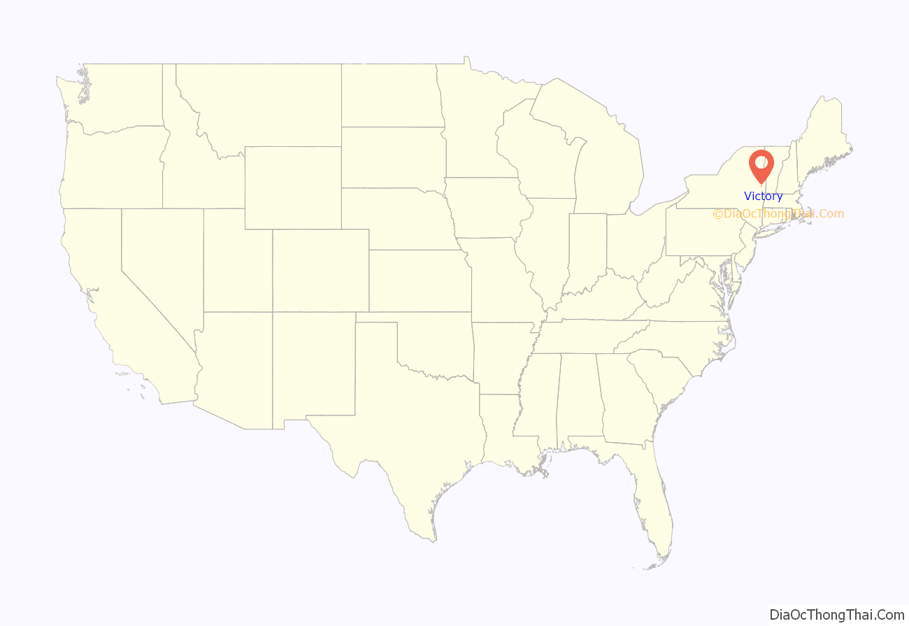
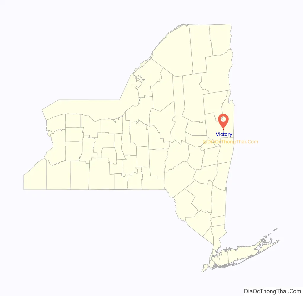
Victory location map. Where is Victory village?
History
The village was incorporated in 1849. The name Victory is most certainly to commemorate the defeat of the British at the Battles of Saratoga, where Burgoyne surrendered his sword to Gates.
The village has also been called “Victory Mills” due to the large (now defunct) cotton mill of the Saratoga Victory Manufacturing Company. The company operated there from 1846 to 1929 and was centrally located on the primary road through town, Gates Avenue. The US Postal Service refers to the village’s ZIP code as Victory Mills.
The Victory Mills building was listed on the National Register of Historic Places on January 19, 2010.
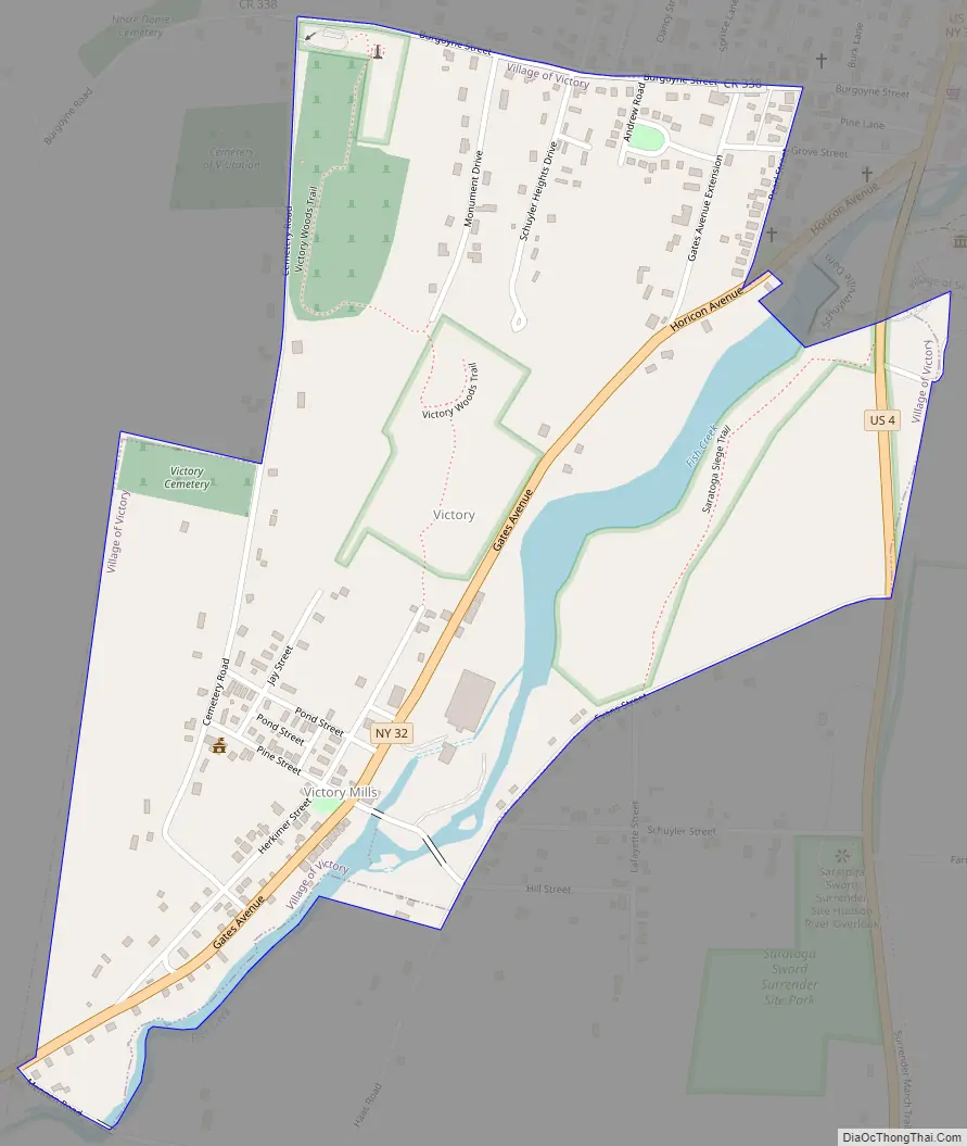
Victory Road Map
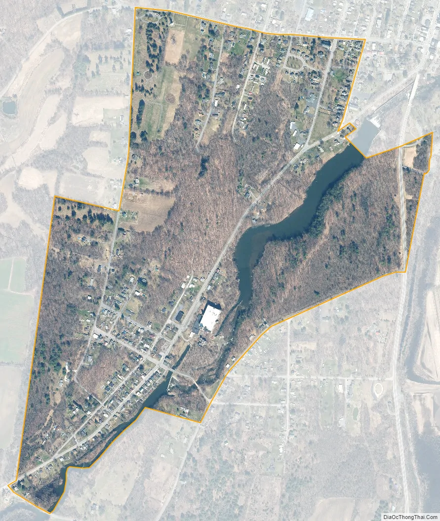
Victory city Satellite Map
Geography
Victory is located at 43°5′19″N 73°35′37″W / 43.08861°N 73.59361°W / 43.08861; -73.59361 (43.088514, -73.593563).
According to the United States Census Bureau, the village has a total area of 0.5 square mile (1.4 km), all land.
The village is located on the north bank of Fish Creek, a tributary of the nearby Hudson River.
New York State Route 32, Gates Avenue, passes through the village.
See also
Map of New York State and its subdivision:- Albany
- Allegany
- Bronx
- Broome
- Cattaraugus
- Cayuga
- Chautauqua
- Chemung
- Chenango
- Clinton
- Columbia
- Cortland
- Delaware
- Dutchess
- Erie
- Essex
- Franklin
- Fulton
- Genesee
- Greene
- Hamilton
- Herkimer
- Jefferson
- Kings
- Lake Ontario
- Lewis
- Livingston
- Madison
- Monroe
- Montgomery
- Nassau
- New York
- Niagara
- Oneida
- Onondaga
- Ontario
- Orange
- Orleans
- Oswego
- Otsego
- Putnam
- Queens
- Rensselaer
- Richmond
- Rockland
- Saint Lawrence
- Saratoga
- Schenectady
- Schoharie
- Schuyler
- Seneca
- Steuben
- Suffolk
- Sullivan
- Tioga
- Tompkins
- Ulster
- Warren
- Washington
- Wayne
- Westchester
- Wyoming
- Yates
- Alabama
- Alaska
- Arizona
- Arkansas
- California
- Colorado
- Connecticut
- Delaware
- District of Columbia
- Florida
- Georgia
- Hawaii
- Idaho
- Illinois
- Indiana
- Iowa
- Kansas
- Kentucky
- Louisiana
- Maine
- Maryland
- Massachusetts
- Michigan
- Minnesota
- Mississippi
- Missouri
- Montana
- Nebraska
- Nevada
- New Hampshire
- New Jersey
- New Mexico
- New York
- North Carolina
- North Dakota
- Ohio
- Oklahoma
- Oregon
- Pennsylvania
- Rhode Island
- South Carolina
- South Dakota
- Tennessee
- Texas
- Utah
- Vermont
- Virginia
- Washington
- West Virginia
- Wisconsin
- Wyoming