Valley Cottage is a hamlet and census-designated place in the town of Clarkstown, New York, United States. It is located northeast of West Nyack, northwest of Central Nyack east of Bardonia, south of Congers, northwest of Nyack, and west of Upper Nyack. The population was 9,107 at the 2010 census.
| Name: | Valley Cottage CDP |
|---|---|
| LSAD Code: | 57 |
| LSAD Description: | CDP (suffix) |
| State: | New York |
| County: | Rockland County |
| Elevation: | 177 ft (54 m) |
| Total Area: | 4.57 sq mi (11.84 km²) |
| Land Area: | 4.39 sq mi (11.37 km²) |
| Water Area: | 0.18 sq mi (0.47 km²) |
| Total Population: | 9,038 |
| Population Density: | 2,058.30/sq mi (794.64/km²) |
| ZIP code: | 10989 |
| Area code: | 845 |
| FIPS code: | 3676661 |
| GNISfeature ID: | 0968357 |
Online Interactive Map
Click on ![]() to view map in "full screen" mode.
to view map in "full screen" mode.
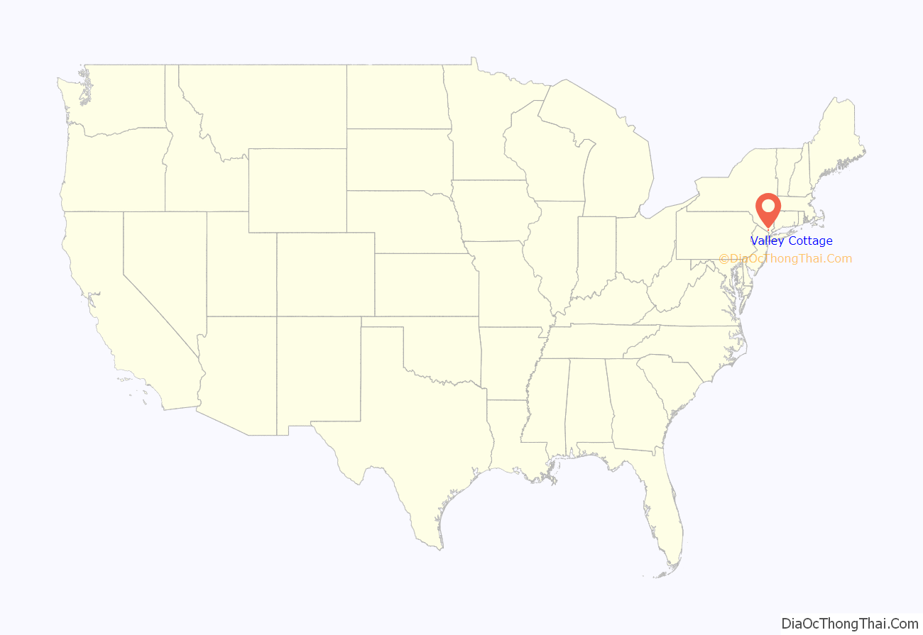
Valley Cottage location map. Where is Valley Cottage CDP?

History
The first known resident of Valley Cottage was John Ryder, who owned a large farm which comprised all or most of the area’s school district.
The post office was first opened at the Valley Cottage Station in 1892.
According to George H. Burke’s book Rockland County during the American Revolution, 1776–1781, Valley Cottage was once known as “Storm’s Corner”. In 1876, just before the opening of the West Shore Railroad station, the residents assembled at the school room agreed on the name “Valley Cottage”, referring to the house nearest the station “that cottage in the valley”. Another version has it that the name of the hamlet came about because of a famous trotting horse named “Cottage Maid”, owned by Ed Green who owned the land where the station, the Marcus store and other buildings stood.
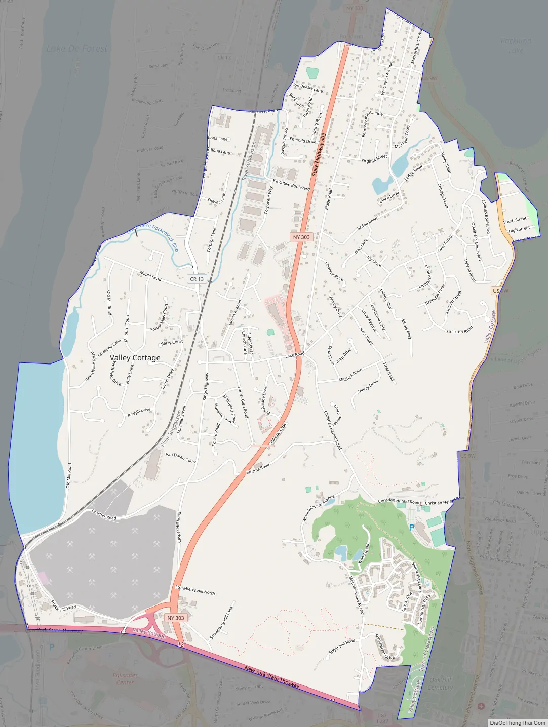
Valley Cottage Road Map
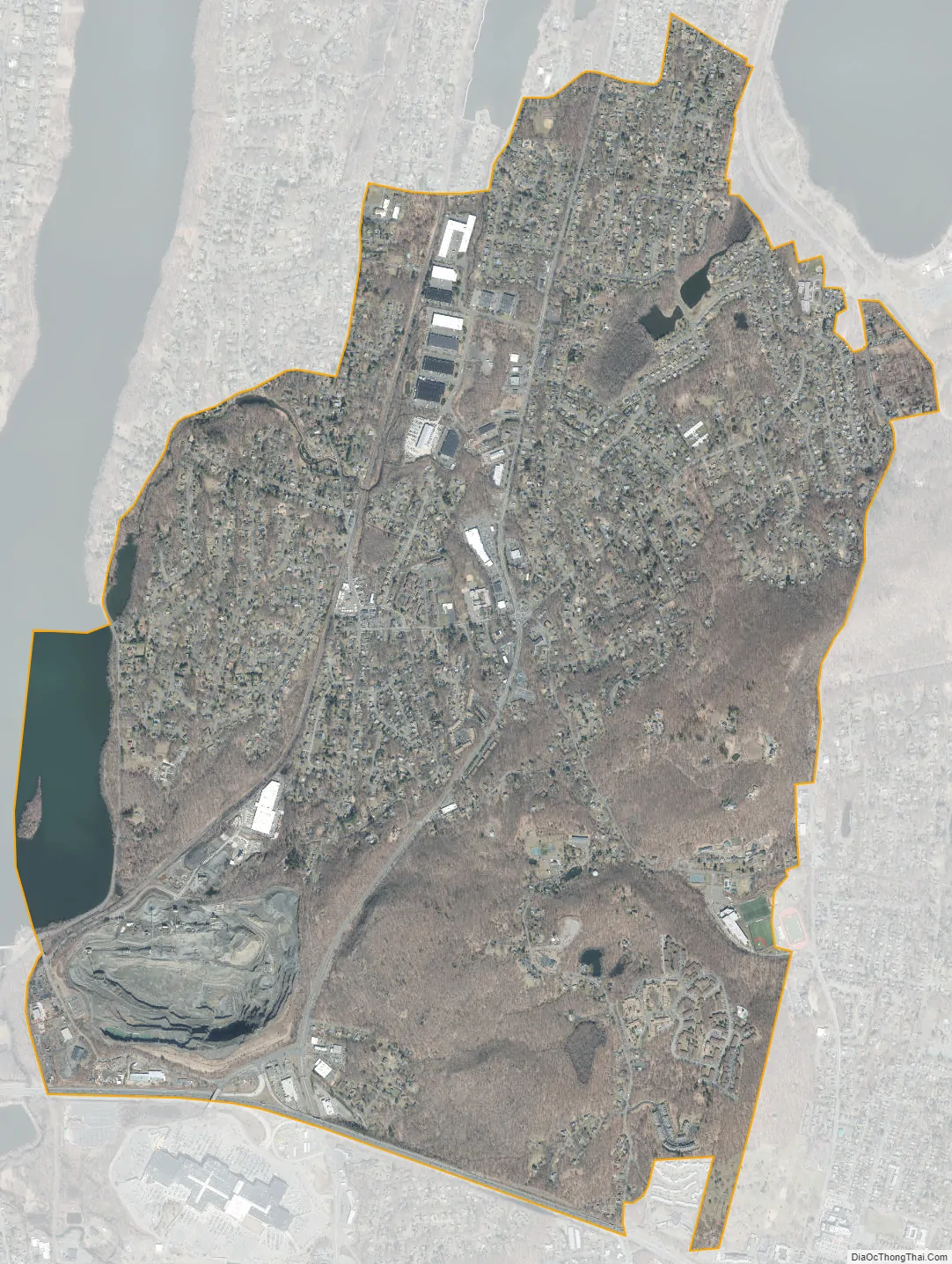
Valley Cottage city Satellite Map
Geography
Valley Cottage is located at 41°7′4″N 73°56′33″W / 41.11778°N 73.94250°W / 41.11778; -73.94250 (41.117862, −73.942531).
According to the United States Census Bureau, the CDP has a total area of 4.4 square miles (11 km), all land.
See also
Map of New York State and its subdivision:- Albany
- Allegany
- Bronx
- Broome
- Cattaraugus
- Cayuga
- Chautauqua
- Chemung
- Chenango
- Clinton
- Columbia
- Cortland
- Delaware
- Dutchess
- Erie
- Essex
- Franklin
- Fulton
- Genesee
- Greene
- Hamilton
- Herkimer
- Jefferson
- Kings
- Lake Ontario
- Lewis
- Livingston
- Madison
- Monroe
- Montgomery
- Nassau
- New York
- Niagara
- Oneida
- Onondaga
- Ontario
- Orange
- Orleans
- Oswego
- Otsego
- Putnam
- Queens
- Rensselaer
- Richmond
- Rockland
- Saint Lawrence
- Saratoga
- Schenectady
- Schoharie
- Schuyler
- Seneca
- Steuben
- Suffolk
- Sullivan
- Tioga
- Tompkins
- Ulster
- Warren
- Washington
- Wayne
- Westchester
- Wyoming
- Yates
- Alabama
- Alaska
- Arizona
- Arkansas
- California
- Colorado
- Connecticut
- Delaware
- District of Columbia
- Florida
- Georgia
- Hawaii
- Idaho
- Illinois
- Indiana
- Iowa
- Kansas
- Kentucky
- Louisiana
- Maine
- Maryland
- Massachusetts
- Michigan
- Minnesota
- Mississippi
- Missouri
- Montana
- Nebraska
- Nevada
- New Hampshire
- New Jersey
- New Mexico
- New York
- North Carolina
- North Dakota
- Ohio
- Oklahoma
- Oregon
- Pennsylvania
- Rhode Island
- South Carolina
- South Dakota
- Tennessee
- Texas
- Utah
- Vermont
- Virginia
- Washington
- West Virginia
- Wisconsin
- Wyoming


