Uniondale is a census-designated place (CDP), as well as a suburb in Nassau County, New York, on Long Island, in the Town of Hempstead. The population was 32,473 at the 2020 United States Census. Uniondale is home to Hofstra University’s north campus, as well as a portion of its southern campus.
The community unsuccessfully tried incorporating itself as a village in the 1970s.
| Name: | Uniondale CDP |
|---|---|
| LSAD Code: | 57 |
| LSAD Description: | CDP (suffix) |
| State: | New York |
| County: | Nassau County |
| Elevation: | 52 ft (16 m) |
| Total Area: | 5.71 sq mi (14.79 km²) |
| Land Area: | 5.71 sq mi (14.79 km²) |
| Water Area: | 0.00 sq mi (0.00 km²) |
| Total Population: | 32,473 |
| Population Density: | 5,686.04/sq mi (2,195.30/km²) |
| Area code: | 516 |
| FIPS code: | 3676089 |
| GNISfeature ID: | 0968229 |
| Website: | uniondalechamber.com |
Online Interactive Map
Click on ![]() to view map in "full screen" mode.
to view map in "full screen" mode.
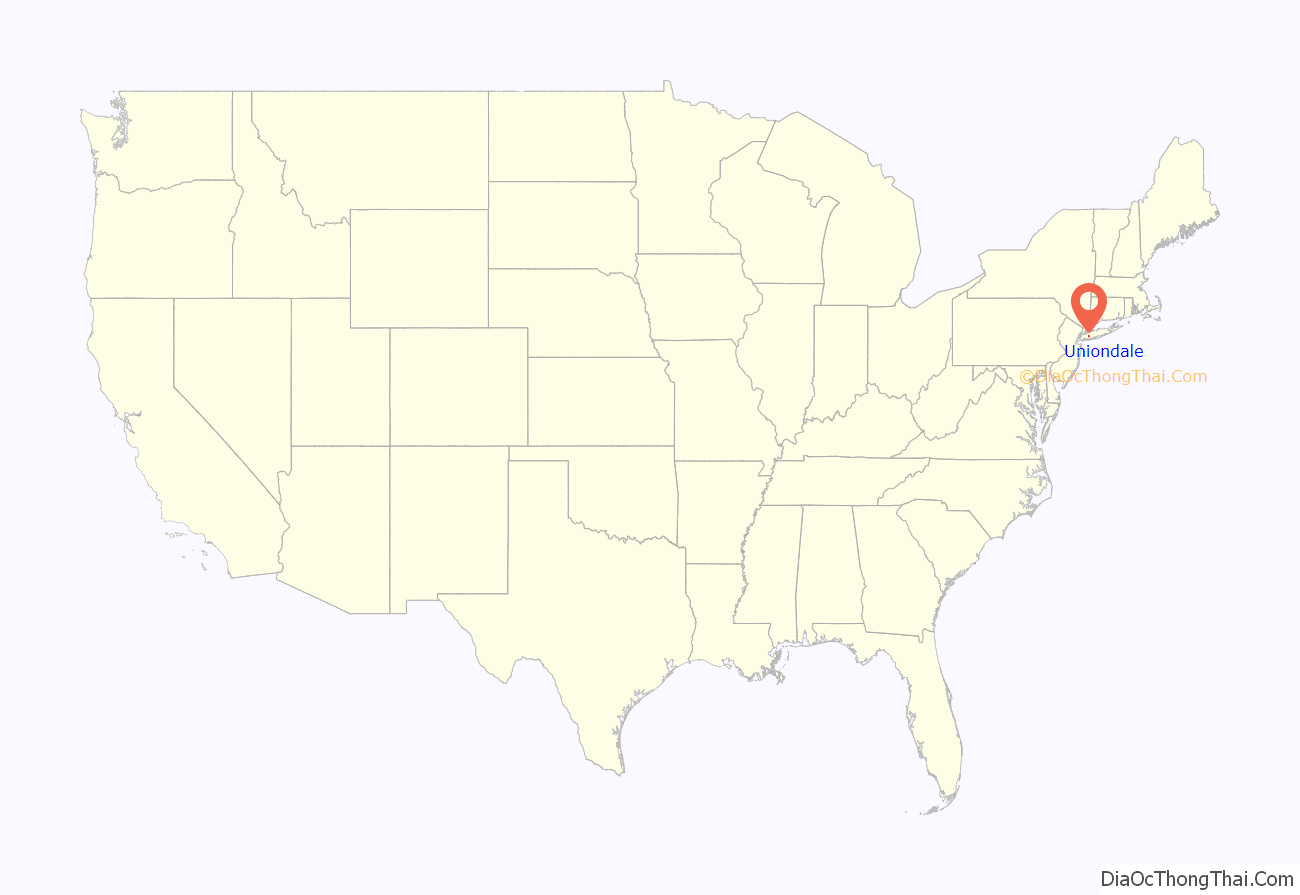
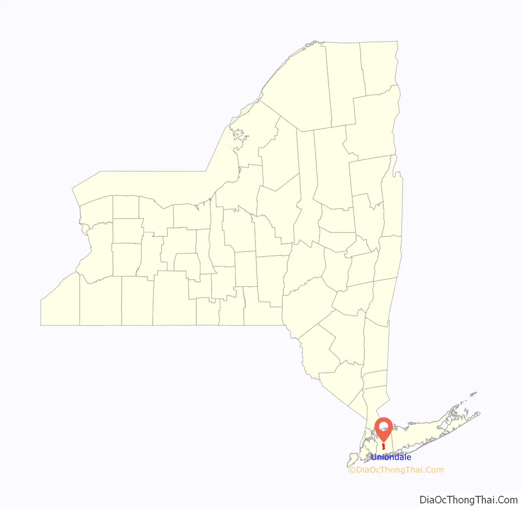
Uniondale location map. Where is Uniondale CDP?
History
In the early 1970s, Uniondale residents attempted to incorporate their hamlet as a village, citing dissatisfaction with the way their community was being represented on policy board of the committee for redeveloping Mitchel Field. Their plans were unsuccessful, and Uniondale remains an unincorporated hamlet governed by the Town of Hempstead.
In the 2010s, the neighboring CDP of East Garden City was absorbed by Uniondale in a controversial move.
Uniondale Road Map

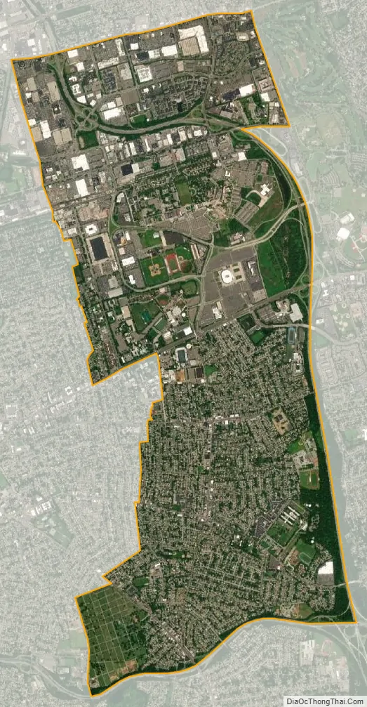
Uniondale city Satellite Map
Geography
According to the United States Census Bureau, the CDP has a total area of 2.7 square miles (7.0 km), all land.
The hamlet gained territory between the 2010 and 2020 Censuses due to the former CDP of East Garden City being absorbed by Uniondale.
See also
Map of New York State and its subdivision:- Albany
- Allegany
- Bronx
- Broome
- Cattaraugus
- Cayuga
- Chautauqua
- Chemung
- Chenango
- Clinton
- Columbia
- Cortland
- Delaware
- Dutchess
- Erie
- Essex
- Franklin
- Fulton
- Genesee
- Greene
- Hamilton
- Herkimer
- Jefferson
- Kings
- Lake Ontario
- Lewis
- Livingston
- Madison
- Monroe
- Montgomery
- Nassau
- New York
- Niagara
- Oneida
- Onondaga
- Ontario
- Orange
- Orleans
- Oswego
- Otsego
- Putnam
- Queens
- Rensselaer
- Richmond
- Rockland
- Saint Lawrence
- Saratoga
- Schenectady
- Schoharie
- Schuyler
- Seneca
- Steuben
- Suffolk
- Sullivan
- Tioga
- Tompkins
- Ulster
- Warren
- Washington
- Wayne
- Westchester
- Wyoming
- Yates
- Alabama
- Alaska
- Arizona
- Arkansas
- California
- Colorado
- Connecticut
- Delaware
- District of Columbia
- Florida
- Georgia
- Hawaii
- Idaho
- Illinois
- Indiana
- Iowa
- Kansas
- Kentucky
- Louisiana
- Maine
- Maryland
- Massachusetts
- Michigan
- Minnesota
- Mississippi
- Missouri
- Montana
- Nebraska
- Nevada
- New Hampshire
- New Jersey
- New Mexico
- New York
- North Carolina
- North Dakota
- Ohio
- Oklahoma
- Oregon
- Pennsylvania
- Rhode Island
- South Carolina
- South Dakota
- Tennessee
- Texas
- Utah
- Vermont
- Virginia
- Washington
- West Virginia
- Wisconsin
- Wyoming


