Map of Alamance village
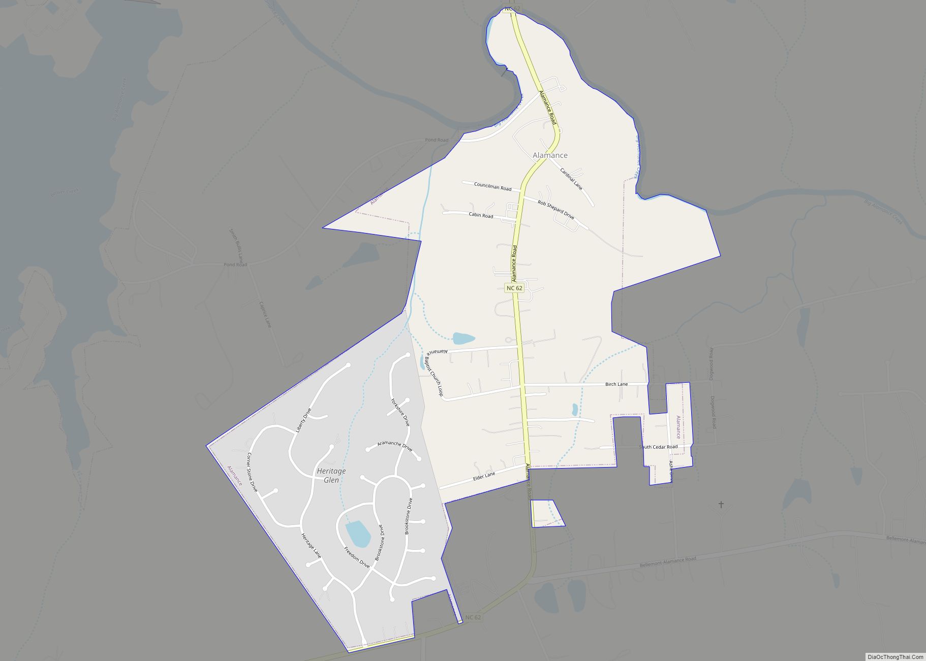
Alamance is a village in Alamance County, North Carolina, United States. It is part of the Burlington, North Carolina Metropolitan Statistical Area. The population was 951 at the 2010 census, up from 310 at the 2000 census. Alamance village overview: Name: Alamance village LSAD Code: 47 LSAD Description: village (suffix) State: North Carolina County: Alamance ... Read more
Map of Alamance village
Map of Ahoskie town
Ahoskie /əˈhɒski/ (listen) is a town in Hertford County, North Carolina, United States. The population was 5,039 at the 2010 census. Ahoskie is located in North Carolina’s Inner Banks region. Its nickname is “The Only One” because no other town in the world is known by the same name. The etymology of the word Ahoskie, ... Read more
Map of Ahoskie town
Map of Advance CDP, North Carolina
Advance (pronounced with the stress on the first syllable) is an unincorporated community and census-designated place (CDP) in Davie County, North Carolina, United States. It is seventy-five miles northeast of Charlotte. As of the 2010 census it had a population of 1,138. It is located along North Carolina Highway 801 just south of Bermuda Run. ... Read more
Map of Advance CDP, North Carolina
Map of Aberdeen town, North Carolina
Aberdeen is a town in Moore County, North Carolina, United States. The population was 6,350 at the 2010 census. Aberdeen town overview: Name: Aberdeen town LSAD Code: 43 LSAD Description: town (suffix) State: North Carolina County: Moore County Incorporated: 1893 Elevation: 344 ft (105 m) Total Area: 10.63 sq mi (27.52 km²) Land Area: 10.44 sq mi (27.04 km²) Water Area: 0.19 sq mi (0.48 km²) ... Read more
Map of Aberdeen town, North Carolina
Map of Altamahaw CDP
Altamahaw CDP overview: Name: Altamahaw CDP LSAD Code: 57 LSAD Description: CDP (suffix) State: North Carolina County: Alamance County FIPS code: 3701140 Online Interactive Map Altamahaw online map. Source: Basemap layers from Google Map, Open Street Map (OSM), Arcgisonline, Wmflabs. Boundary Data from Database of Global Administrative Areas. Altamahaw location map. Where is Altamahaw CDP? ... Read more
Map of Altamahaw CDP
Map of Alliance town, North Carolina
Alliance is a town in Pamlico County, North Carolina, United States. Its name is derived from the Farmers Alliance Movement from around 1874, two years after Pamlico was founded. Alliance was incorporated in 1965. The majority of land in Alliance is farmland. The population was 776 at the 2010 census. It is part of the ... Read more
Map of Alliance town, North Carolina
Map of Ashley Heights CDP
Ashley Heights is an unincorporated community and census-designated place (CDP) in Hoke County, North Carolina, United States. The population was 380 at the 2010 census. Ashley Heights CDP overview: Name: Ashley Heights CDP LSAD Code: 57 LSAD Description: CDP (suffix) State: North Carolina County: Hoke County Elevation: 443 ft (135 m) Total Area: 2.24 sq mi (5.79 km²) Land Area: ... Read more
Map of Ashley Heights CDP
Map of Asheboro city
Asheboro is a city in and the county seat of Randolph County, North Carolina, United States. The population was 25,012 at the 2010 census. It is part of the Greensboro–High Point Metropolitan Area of the Piedmont Triad and is home of the state-owned North Carolina Zoo. Asheboro city overview: Name: Asheboro city LSAD Code: 25 ... Read more
Map of Asheboro city
Map of Archer Lodge town
Archer Lodge is a town in Johnston County, North Carolina, United States. Its population was 4,292 as of the 2010 census, and as of 2018 the estimated population was 5,014. Archer Lodge town overview: Name: Archer Lodge town LSAD Code: 43 LSAD Description: town (suffix) State: North Carolina County: Johnston County Incorporated: 2009 Elevation: 338 ft ... Read more
Map of Archer Lodge town
Map of Archdale city
Archdale is a city in Guilford and Randolph counties in the U.S. state of North Carolina. Located 15 miles southwest of Greensboro, it is part of the Greensboro-High Point Metropolitan Statistical Area of the Piedmont Triad metro region. The population was 11,415 at the 2010 census, up from 9,014 in 2000. Archdale city overview: Name: ... Read more
Map of Archdale city
Map of Arapahoe town, North Carolina
Arapahoe (/əˈræpəhoʊ/) is a town in Pamlico County, North Carolina, United States. As of the 2010 census, the town population was 556. Arapahoe shares many of its roles and duties with Minnesott Beach, North Carolina. It is part of the New Bern, North Carolina Micropolitan Statistical Area. Arapahoe town overview: Name: Arapahoe town LSAD Code: ... Read more
Map of Arapahoe town, North Carolina
Map of Aquadale CDP
Aquadale is an unincorporated community and census-designated place in Stanly County, North Carolina, United States. Its population was 397 as of the 2010 census. Aquadale CDP overview: Name: Aquadale CDP LSAD Code: 57 LSAD Description: CDP (suffix) State: North Carolina County: Stanly County Elevation: 459 ft (140 m) Total Area: 3.25 sq mi (8.43 km²) Land Area: 3.25 sq mi (8.43 km²) Water ... Read more
Map of Aquadale CDP