Archdale is a city in Guilford and Randolph counties in the U.S. state of North Carolina. Located 15 miles southwest of Greensboro, it is part of the Greensboro-High Point Metropolitan Statistical Area of the Piedmont Triad metro region. The population was 11,415 at the 2010 census, up from 9,014 in 2000.
| Name: | Archdale city |
|---|---|
| LSAD Code: | 25 |
| LSAD Description: | city (suffix) |
| State: | North Carolina |
| County: | Guilford County, Randolph County |
| Elevation: | 869 ft (265 m) |
| Total Area: | 8.86 sq mi (22.95 km²) |
| Land Area: | 8.84 sq mi (22.89 km²) |
| Water Area: | 0.02 sq mi (0.06 km²) |
| Total Population: | 11,907 |
| Population Density: | 1,347.25/sq mi (520.15/km²) |
| ZIP code: | 27263 |
| Area code: | 336 |
| FIPS code: | 3701720 |
| GNISfeature ID: | 1018843 |
| Website: | www.archdale-nc.gov |
Online Interactive Map
Click on ![]() to view map in "full screen" mode.
to view map in "full screen" mode.
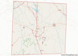
Archdale location map. Where is Archdale city?


History
Archdale, previously known as “Bush Hill”, began as a predominantly Quaker settlement and received the name “Archdale” as a tribute to John Archdale, a lord proprietor and an early Quaker governor. It was incorporated in July 1969. Water and sewer service were needed because the area was “heavy clay”. Voters in the area held a referendum, though residents of Trinity decided not to join Archdale.
The Moses Hammond House and Harper House are listed on the National Register of Historic Places.
Jerry W. Tillman (1940-2023), North Carolina legislator, was born in Archdale.
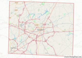
Archdale Road Map
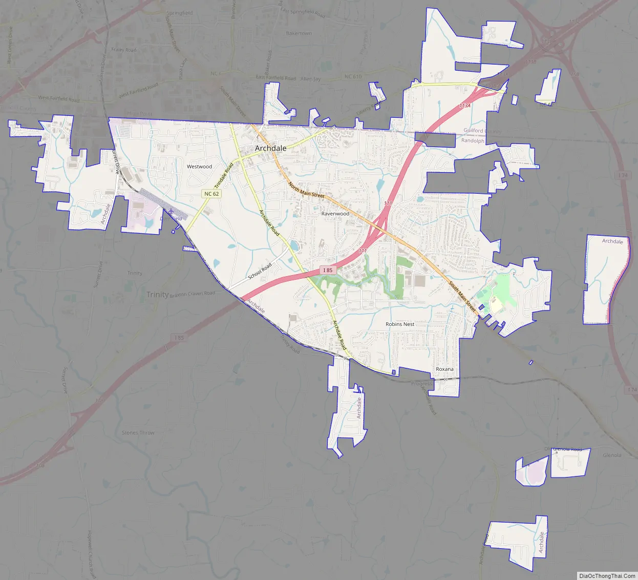
Archdale city Satellite Map

Geography
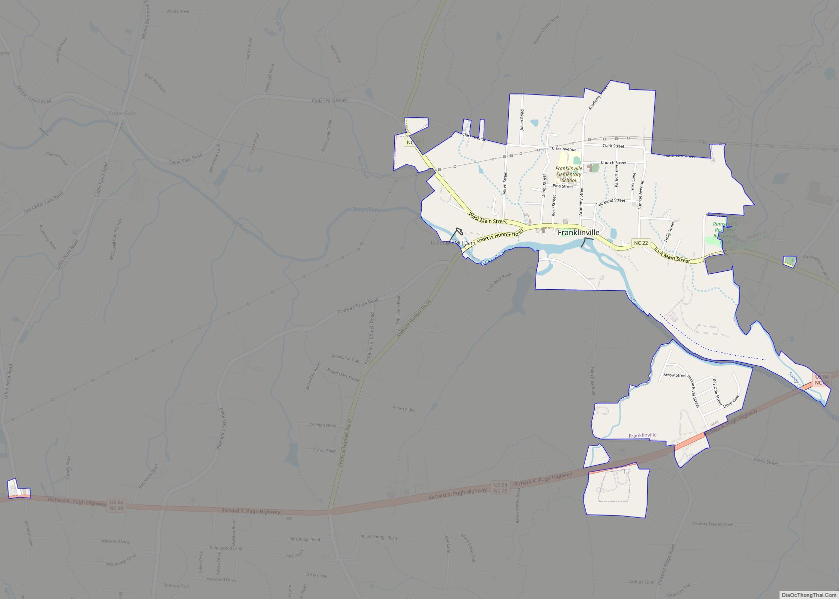
Archdale is located primarily in Randolph County and extends north into Guilford County; the geographic center of the city is at 35°54′14″N 79°57′58″W / 35.90389°N 79.96611°W / 35.90389; -79.96611 (35.903996, -79.966080). It is bordered to the southwest by the city of Trinity and to the north by the city of High Point.
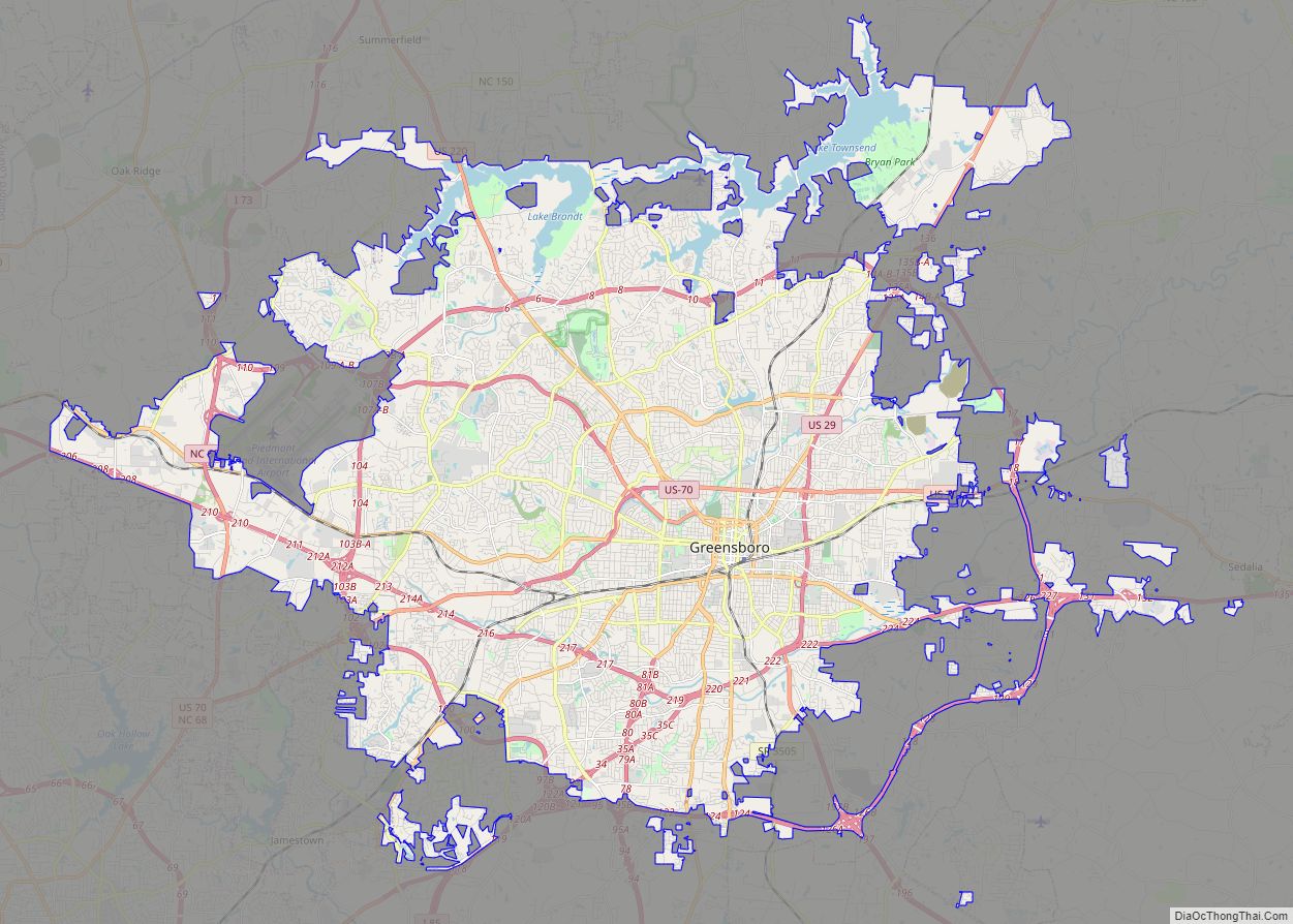
Interstate 85 passes through Archdale, with access from Exits 111 and 113. I-85 leads northeast 16 miles (26 km) to Greensboro and southwest 77 miles (124 km) to Charlotte. Interstate 74 passes just east of Archdale, leading northwest 26 miles (42 km) to Winston-Salem and southeast 21 miles (34 km) to Asheboro.
According to the United States Census Bureau, Archdale has a total area of 8.2 square miles (21.3 km), of which 0.02 square miles (0.06 km), or 0.27%, is water. The city is within the watershed of the Deep River, a tributary of the Cape Fear River. Muddy Creek, a tributary of the Deep River rises within the city limits of Archdale.
See also
Map of North Carolina State and its subdivision:- Alamance
- Alexander
- Alleghany
- Anson
- Ashe
- Avery
- Beaufort
- Bertie
- Bladen
- Brunswick
- Buncombe
- Burke
- Cabarrus
- Caldwell
- Camden
- Carteret
- Caswell
- Catawba
- Chatham
- Cherokee
- Chowan
- Clay
- Cleveland
- Columbus
- Craven
- Cumberland
- Currituck
- Dare
- Davidson
- Davie
- Duplin
- Durham
- Edgecombe
- Forsyth
- Franklin
- Gaston
- Gates
- Graham
- Granville
- Greene
- Guilford
- Halifax
- Harnett
- Haywood
- Henderson
- Hertford
- Hoke
- Hyde
- Iredell
- Jackson
- Johnston
- Jones
- Lee
- Lenoir
- Lincoln
- Macon
- Madison
- Martin
- McDowell
- Mecklenburg
- Mitchell
- Montgomery
- Moore
- Nash
- New Hanover
- Northampton
- Onslow
- Orange
- Pamlico
- Pasquotank
- Pender
- Perquimans
- Person
- Pitt
- Polk
- Randolph
- Richmond
- Robeson
- Rockingham
- Rowan
- Rutherford
- Sampson
- Scotland
- Stanly
- Stokes
- Surry
- Swain
- Transylvania
- Tyrrell
- Union
- Vance
- Wake
- Warren
- Washington
- Watauga
- Wayne
- Wilkes
- Wilson
- Yadkin
- Yancey
- Alabama
- Alaska
- Arizona
- Arkansas
- California
- Colorado
- Connecticut
- Delaware
- District of Columbia
- Florida
- Georgia
- Hawaii
- Idaho
- Illinois
- Indiana
- Iowa
- Kansas
- Kentucky
- Louisiana
- Maine
- Maryland
- Massachusetts
- Michigan
- Minnesota
- Mississippi
- Missouri
- Montana
- Nebraska
- Nevada
- New Hampshire
- New Jersey
- New Mexico
- New York
- North Carolina
- North Dakota
- Ohio
- Oklahoma
- Oregon
- Pennsylvania
- Rhode Island
- South Carolina
- South Dakota
- Tennessee
- Texas
- Utah
- Vermont
- Virginia
- Washington
- West Virginia
- Wisconsin
- Wyoming