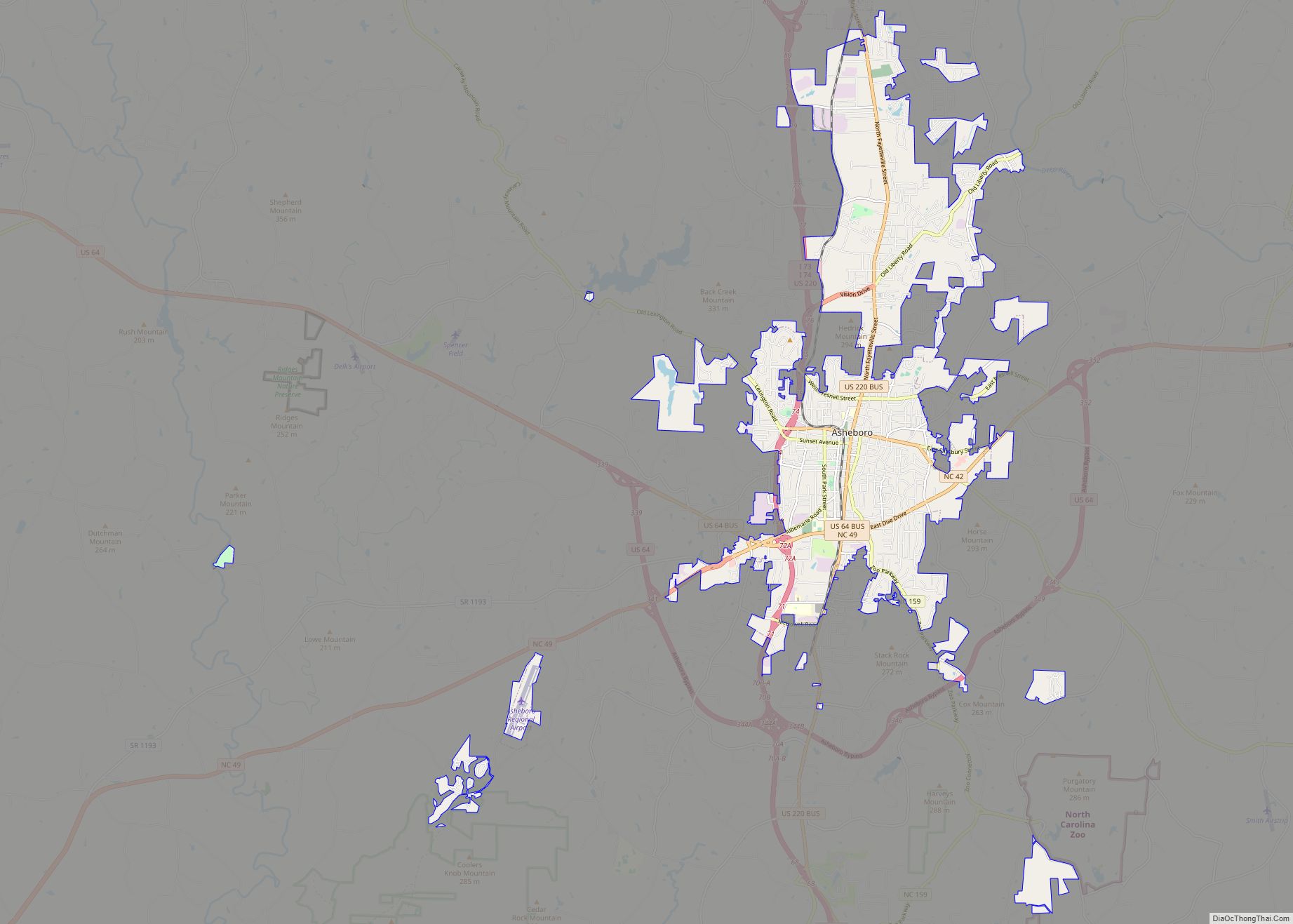
Asheboro is a city in and the county seat of Randolph County, North Carolina, United States. The population was 25,012 at the 2010 census. It is part of the Greensboro–High Point Metropolitan Area of the Piedmont Triad and is home of the state-owned North Carolina Zoo.
| Name: | Asheboro city |
|---|---|
| LSAD Code: | 25 |
| LSAD Description: | city (suffix) |
| State: | North Carolina |
| County: | Randolph County |
| Elevation: | 837 ft (255 m) |
| Total Area: | 19.00 sq mi (49.20 km²) |
| Land Area: | 18.90 sq mi (48.95 km²) |
| Water Area: | 0.09 sq mi (0.24 km²) |
| Total Population: | 27,156 |
| Population Density: | 1,436.75/sq mi (554.73/km²) |
| ZIP code: | 27203-27205 |
| Area code: | 336-743 |
| FIPS code: | 3702080 |
| GNISfeature ID: | 1018863 |
| Website: | www.asheboronc.gov |
Online Interactive Map
Click on ![]() to view map in "full screen" mode.
to view map in "full screen" mode.
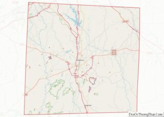
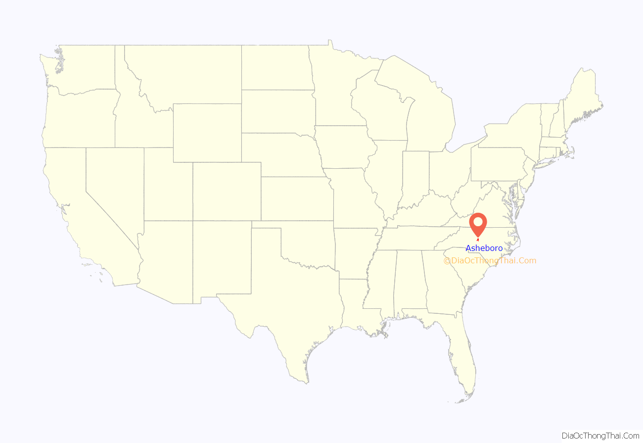
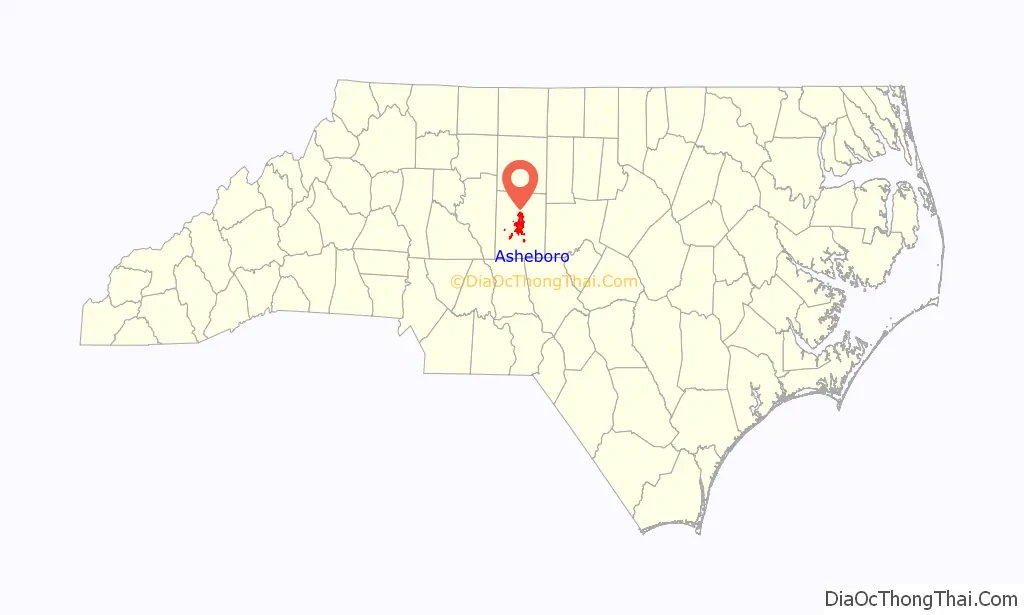
Asheboro location map. Where is Asheboro city?
History
Asheboro was named after Samuel Ashe, the ninth governor of North Carolina (1795–1798), and became the county seat of Randolph County in 1796. It was a small village in the 1800s, with a population of less than 200 through the Civil War; its main function was housing the county courthouse, and the town was most active when court was in session. Asheboro’s population only began to grow significantly following its connection to railroads: the High Point, Randleman, Asheboro and Southern Railroad first served the city in 1889, followed by the Montgomery Railroad in 1896.
Asheboro emerged as a textile production center in the 20th century with the opening of the Acme Hosiery Mills in 1909. After World War II, the city’s manufacturing sector grew to include batteries, wires and food products. The city’s main tourist attraction, the North Carolina Zoo, opened in 1974.
Asheboro suffered from an economic downturn in the 2000s due to a decline in its traditional manufacturing industries amid increasing competition from overseas; the national news program 60 Minutes described it as a “dying town” in 2012.
Historic buildings
The following buildings in Asheboro are listed on the National Register of Historic Places:
- Acme-McCrary Hosiery Mills
- Asheboro Hosiery Mills and Cranford Furniture Company Complex
- Central School
- Wilson Kindley Farm and Kindley Mine
- Lewis-Thornburg Farm
- Mount Shepherd Pottery Site
- Randolph County Courthouse
- Sunset Theater
- Thayer Farm Site (31RD10)
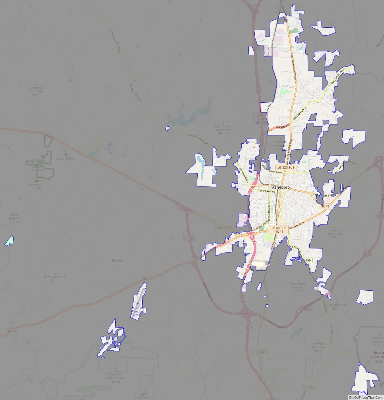
Asheboro Road Map
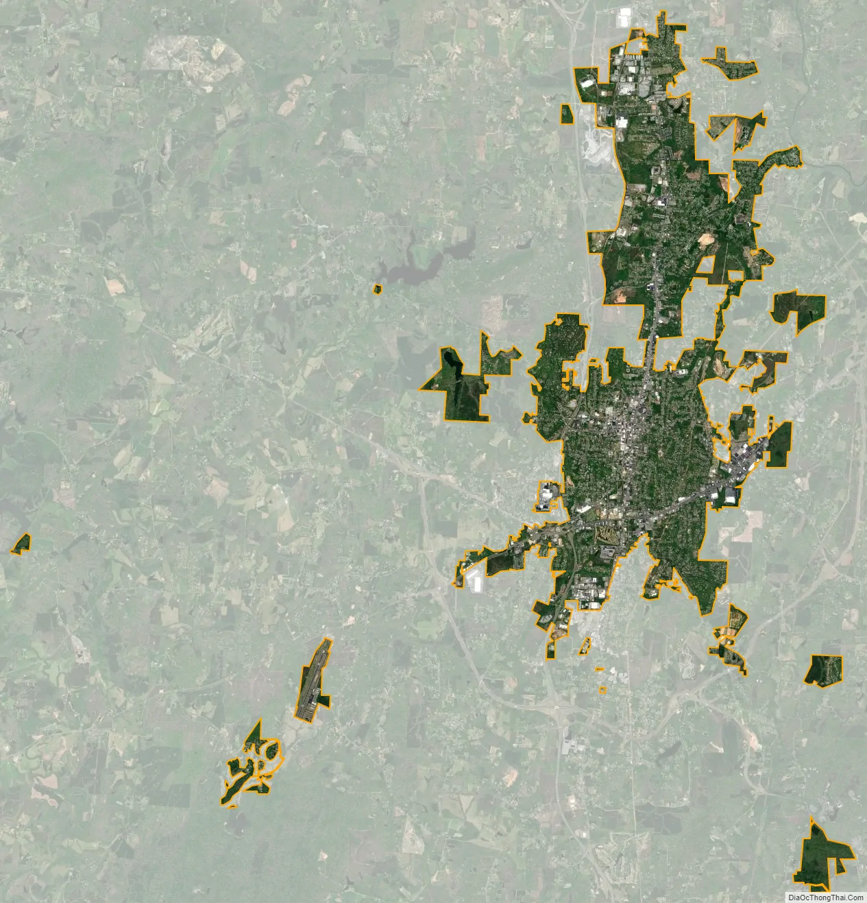
Asheboro city Satellite Map
Geography
Asheboro is located at 35°42′55″N 79°48′47″W / 35.71528°N 79.81306°W / 35.71528; -79.81306 (35.715211, -79.813001).
According to the United States Census Bureau, the city has a total area of 15.4 square miles (40 km), of which 15.3 square miles (40 km) is land and 0.1 square miles (0.26 km) (0.58%) is water. Asheboro is known as the center point of North Carolina. Although Asheboro is located in the gently rolling Piedmont plateau region of central North Carolina, far to the east of the Appalachian Mountains, the town and surrounding area are surprisingly hilly. The town lies within the Uwharrie Mountains, a series of ancient ridges and monadnocks which have been worn down by erosion to high hills. As such, Asheboro gives the impression of being in a more mountainous area than it actually is.
Climate
See also
Map of North Carolina State and its subdivision:- Alamance
- Alexander
- Alleghany
- Anson
- Ashe
- Avery
- Beaufort
- Bertie
- Bladen
- Brunswick
- Buncombe
- Burke
- Cabarrus
- Caldwell
- Camden
- Carteret
- Caswell
- Catawba
- Chatham
- Cherokee
- Chowan
- Clay
- Cleveland
- Columbus
- Craven
- Cumberland
- Currituck
- Dare
- Davidson
- Davie
- Duplin
- Durham
- Edgecombe
- Forsyth
- Franklin
- Gaston
- Gates
- Graham
- Granville
- Greene
- Guilford
- Halifax
- Harnett
- Haywood
- Henderson
- Hertford
- Hoke
- Hyde
- Iredell
- Jackson
- Johnston
- Jones
- Lee
- Lenoir
- Lincoln
- Macon
- Madison
- Martin
- McDowell
- Mecklenburg
- Mitchell
- Montgomery
- Moore
- Nash
- New Hanover
- Northampton
- Onslow
- Orange
- Pamlico
- Pasquotank
- Pender
- Perquimans
- Person
- Pitt
- Polk
- Randolph
- Richmond
- Robeson
- Rockingham
- Rowan
- Rutherford
- Sampson
- Scotland
- Stanly
- Stokes
- Surry
- Swain
- Transylvania
- Tyrrell
- Union
- Vance
- Wake
- Warren
- Washington
- Watauga
- Wayne
- Wilkes
- Wilson
- Yadkin
- Yancey
- Alabama
- Alaska
- Arizona
- Arkansas
- California
- Colorado
- Connecticut
- Delaware
- District of Columbia
- Florida
- Georgia
- Hawaii
- Idaho
- Illinois
- Indiana
- Iowa
- Kansas
- Kentucky
- Louisiana
- Maine
- Maryland
- Massachusetts
- Michigan
- Minnesota
- Mississippi
- Missouri
- Montana
- Nebraska
- Nevada
- New Hampshire
- New Jersey
- New Mexico
- New York
- North Carolina
- North Dakota
- Ohio
- Oklahoma
- Oregon
- Pennsylvania
- Rhode Island
- South Carolina
- South Dakota
- Tennessee
- Texas
- Utah
- Vermont
- Virginia
- Washington
- West Virginia
- Wisconsin
- Wyoming