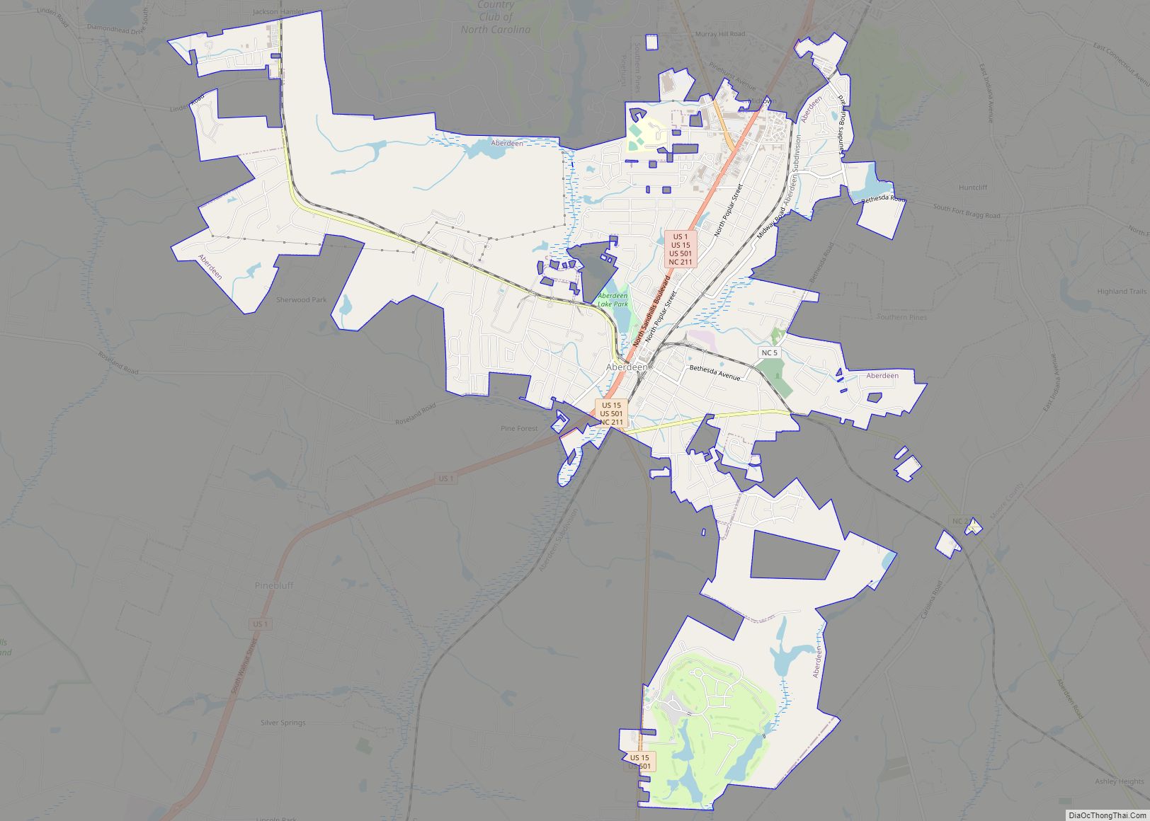
Aberdeen is a town in Moore County, North Carolina, United States. The population was 6,350 at the 2010 census.
| Name: | Aberdeen town |
|---|---|
| LSAD Code: | 43 |
| LSAD Description: | town (suffix) |
| State: | North Carolina |
| County: | Moore County |
| Incorporated: | 1893 |
| Elevation: | 344 ft (105 m) |
| Total Area: | 10.63 sq mi (27.52 km²) |
| Land Area: | 10.44 sq mi (27.04 km²) |
| Water Area: | 0.19 sq mi (0.48 km²) |
| Total Population: | 8,516 |
| Population Density: | 815.71/sq mi (314.94/km²) |
| ZIP code: | 28315 |
| FIPS code: | 3700160 |
| GNISfeature ID: | 1018757 |
| Website: | www.townofaberdeen.net |
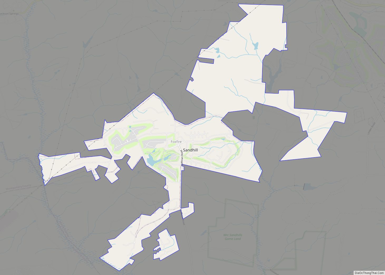
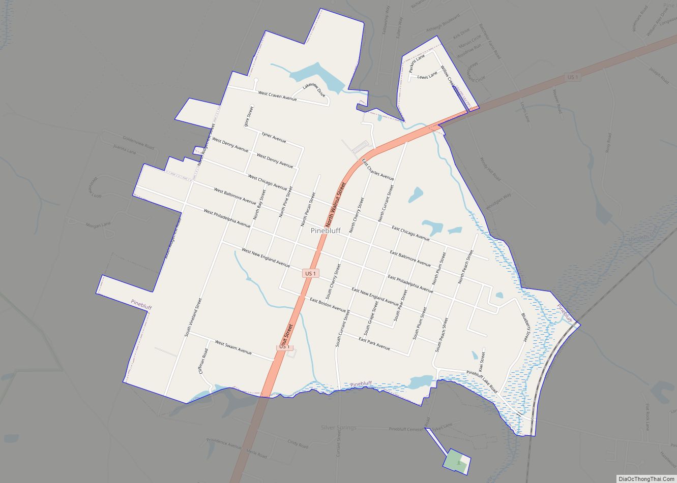
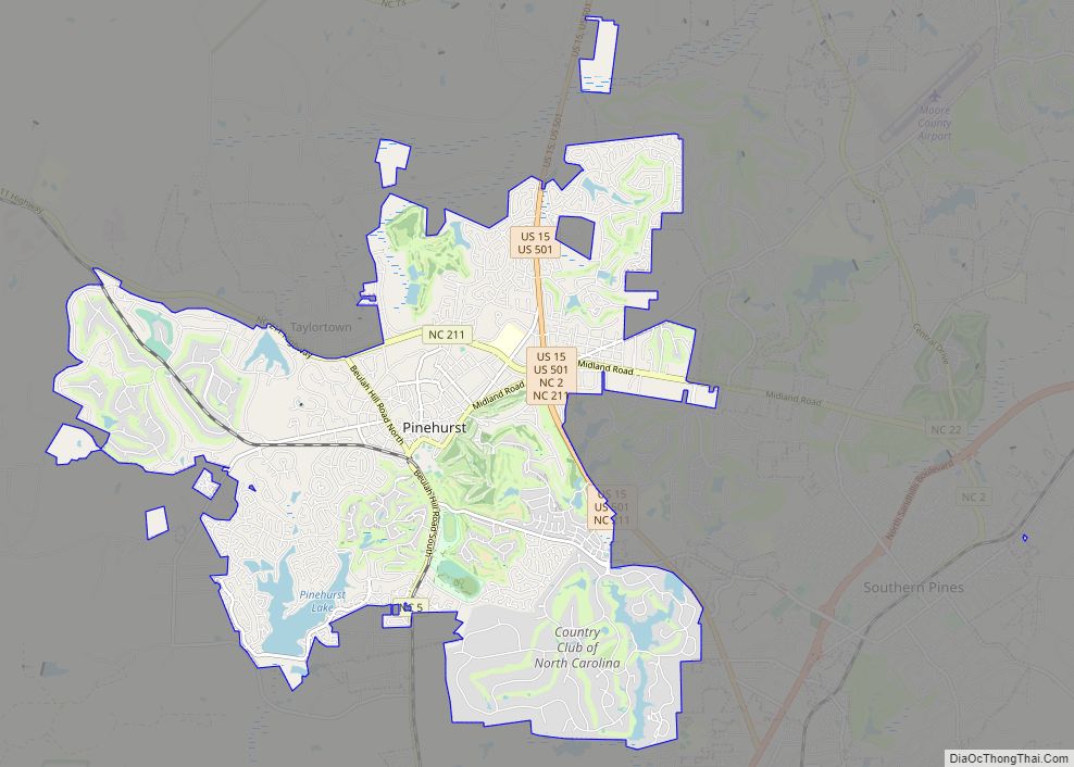
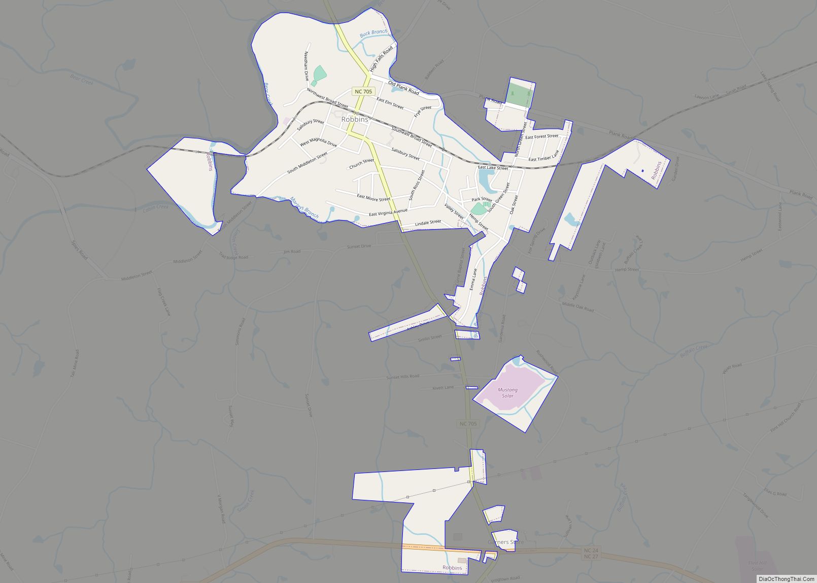
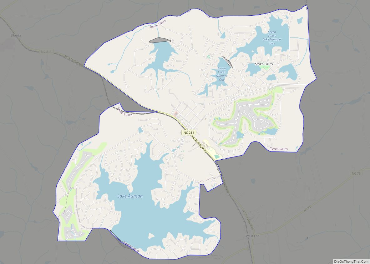
Online Interactive Map
Click on ![]() to view map in "full screen" mode.
to view map in "full screen" mode.
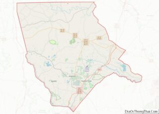
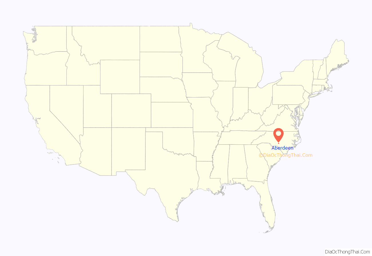
Aberdeen location map. Where is Aberdeen town?
History
Scottish emigrants were the first Europeans to settle the area beginning in 1745. They were drawn to the area by bountiful hunting and virgin land, and they founded the communities of Bethesda and Blue’s Crossing by the late 18th Century.
During the American Revolution, the people of what is now Aberdeen were generally Loyalists. There were a few small skirmishes in the vicinity of Aberdeen, most notably the one at Ray’s Mill Creek, in which Colonel Philip Alston of the House in the Horseshoe, who was in pursuit of Loyalist Colonel David Fanning, savagely beat Kenneth Black, a local who had acted as Fanning’s guide through the area.
One of the earliest industries of Bethesda and Blue’s Crossing was naval stores due to the abundance of pine trees in the area. These goods were transported to market initially via the Cape Fear River to Wilmington, and later by plank road.
Over 1,500 residents of what is now Aberdeen participated in the Civil War. Nearly one-third of the soldiers sent were killed, which decimated the labor supply. After the Civil War, however, the Raleigh and Augusta Air Line Railroad connected the community of Blue’s Crossing to the rest of the country, allowing them to sell their naval stores and timber to the rest of the country.
In 1877, a post office was established and Malcolm J. Blue was appointed postmaster. Four years later, Allison F. Page bought numerous forested acres to build a rail line, as well as to clear the land for timber. This land was later sold to James Walker Tufts for $1 an acre, and later became home of the historic golf resort, Pinehurst Resort. Blue’s Crossing’s name was officially changed to the present Aberdeen in 1888.
In the early twentieth century, tobacco farming came to the town. Aberdeen’s proximity to Pinehurst resulted in a boom in the tourism and retirement industries, which remain a major part of the local economy today.
The Aberdeen Historic District, Bethesda Presbyterian Church, John Blue House, and Malcolm Blue Farm are listed on the National Register of Historic Places.
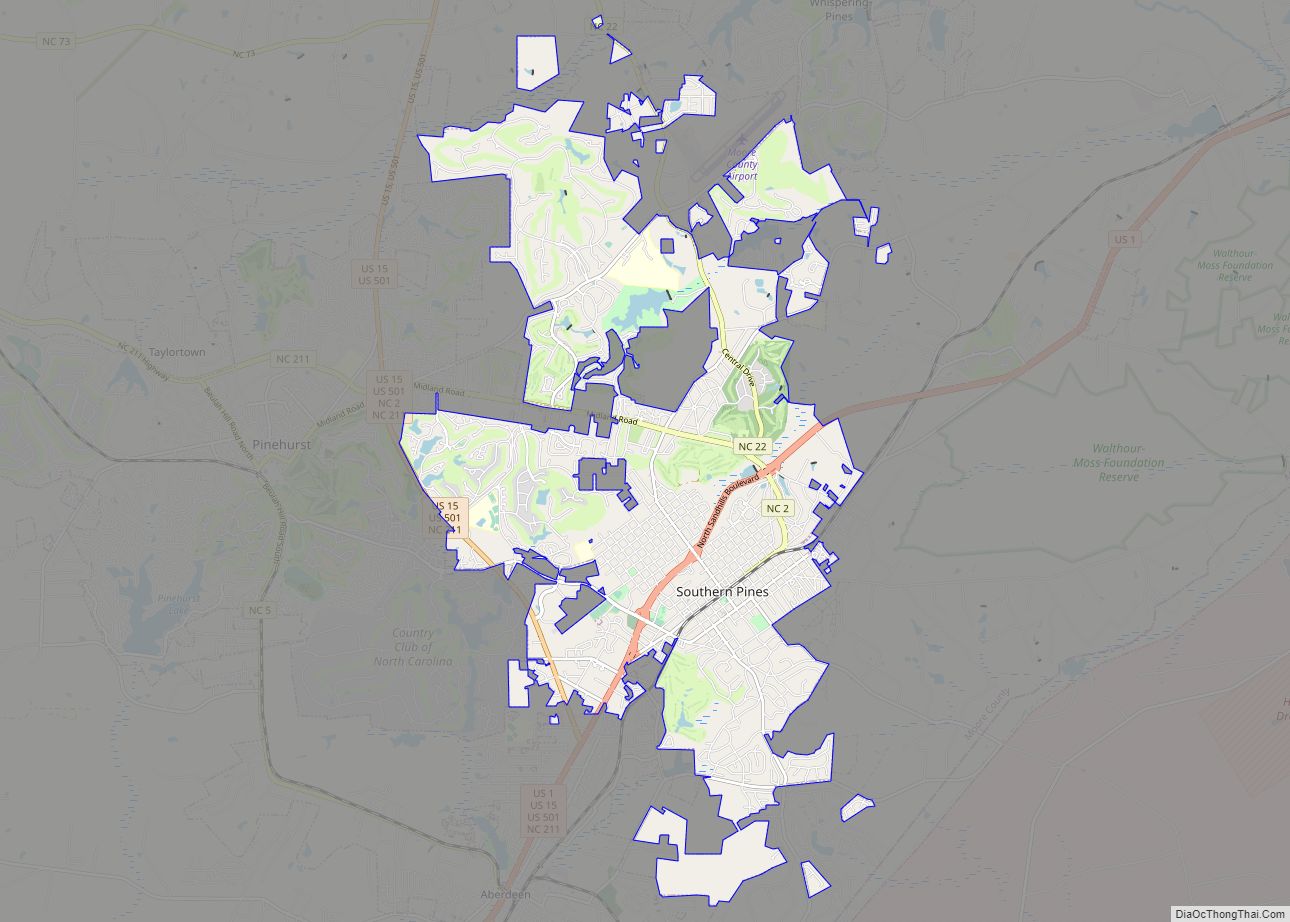
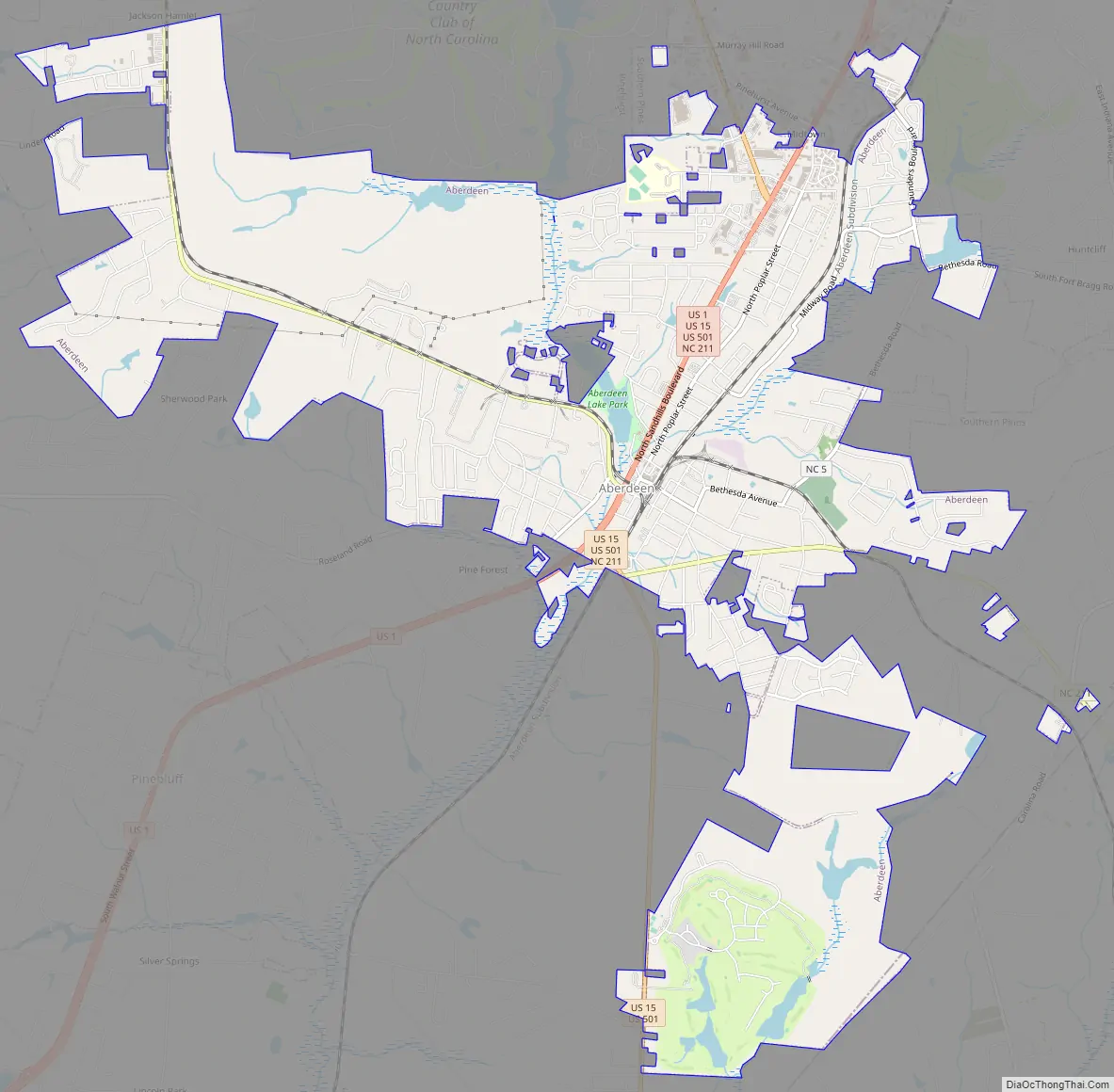
Aberdeen Road Map
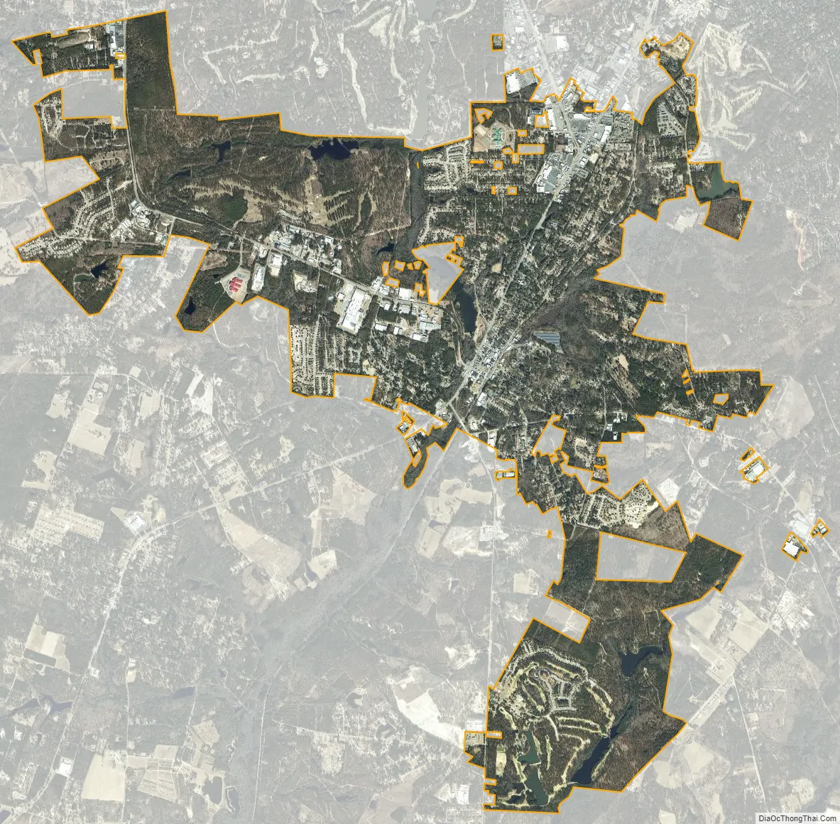
Aberdeen city Satellite Map
Geography
Aberdeen is located at 35°8′19″N 79°25′40″W / 35.13861°N 79.42778°W / 35.13861; -79.42778 (35.138494, -79.427701).
According to the United States Census Bureau, the town has a total area of 6.2 square miles (16 km), of which 6.2 square miles (16 km) is land and 0.16% is water.
Aberdeen Creek, a tributary to Drowning Creek (Lumber River), flows through the middle of Aberdeen.
See also
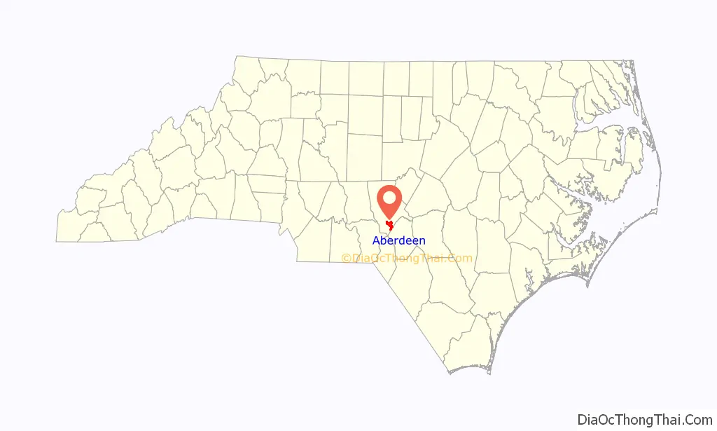
Map of North Carolina State and its subdivision:- Alamance
- Alexander
- Alleghany
- Anson
- Ashe
- Avery
- Beaufort
- Bertie
- Bladen
- Brunswick
- Buncombe
- Burke
- Cabarrus
- Caldwell
- Camden
- Carteret
- Caswell
- Catawba
- Chatham
- Cherokee
- Chowan
- Clay
- Cleveland
- Columbus
- Craven
- Cumberland
- Currituck
- Dare
- Davidson
- Davie
- Duplin
- Durham
- Edgecombe
- Forsyth
- Franklin
- Gaston
- Gates
- Graham
- Granville
- Greene
- Guilford
- Halifax
- Harnett
- Haywood
- Henderson
- Hertford
- Hoke
- Hyde
- Iredell
- Jackson
- Johnston
- Jones
- Lee
- Lenoir
- Lincoln
- Macon
- Madison
- Martin
- McDowell
- Mecklenburg
- Mitchell
- Montgomery
- Moore
- Nash
- New Hanover
- Northampton
- Onslow
- Orange
- Pamlico
- Pasquotank
- Pender
- Perquimans
- Person
- Pitt
- Polk
- Randolph
- Richmond
- Robeson
- Rockingham
- Rowan
- Rutherford
- Sampson
- Scotland
- Stanly
- Stokes
- Surry
- Swain
- Transylvania
- Tyrrell
- Union
- Vance
- Wake
- Warren
- Washington
- Watauga
- Wayne
- Wilkes
- Wilson
- Yadkin
- Yancey
- Alabama
- Alaska
- Arizona
- Arkansas
- California
- Colorado
- Connecticut
- Delaware
- District of Columbia
- Florida
- Georgia
- Hawaii
- Idaho
- Illinois
- Indiana
- Iowa
- Kansas
- Kentucky
- Louisiana
- Maine
- Maryland
- Massachusetts
- Michigan
- Minnesota
- Mississippi
- Missouri
- Montana
- Nebraska
- Nevada
- New Hampshire
- New Jersey
- New Mexico
- New York
- North Carolina
- North Dakota
- Ohio
- Oklahoma
- Oregon
- Pennsylvania
- Rhode Island
- South Carolina
- South Dakota
- Tennessee
- Texas
- Utah
- Vermont
- Virginia
- Washington
- West Virginia
- Wisconsin
- Wyoming