Ahoskie /əˈhɒski/ (listen) is a town in Hertford County, North Carolina, United States. The population was 5,039 at the 2010 census. Ahoskie is located in North Carolina’s Inner Banks region. Its nickname is “The Only One” because no other town in the world is known by the same name. The etymology of the word Ahoskie, which was originally spelled “Ahotsky,” was from the Wyanoke Indians, who entered the Hertford County area at the beginning of European settlement.
| Name: | Ahoskie town |
|---|---|
| LSAD Code: | 43 |
| LSAD Description: | town (suffix) |
| State: | North Carolina |
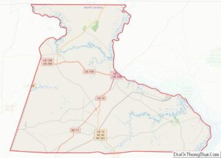
| County: | Hertford County |
| Elevation: | 46 ft (14 m) |
| Total Area: | 4.40 sq mi (11.40 km²) |
| Land Area: | 4.40 sq mi (11.40 km²) |
| Water Area: | 0.00 sq mi (0.00 km²) |
| Total Population: | 4,891 |
| Population Density: | 1,111.34/sq mi (429.09/km²) |
| ZIP code: | 27910 |
| Area code: | 252 |
| FIPS code: | 3700500 |
| GNISfeature ID: | 0980063 |
| Website: | www.ahoskienc.gov |
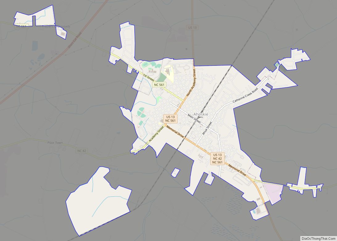
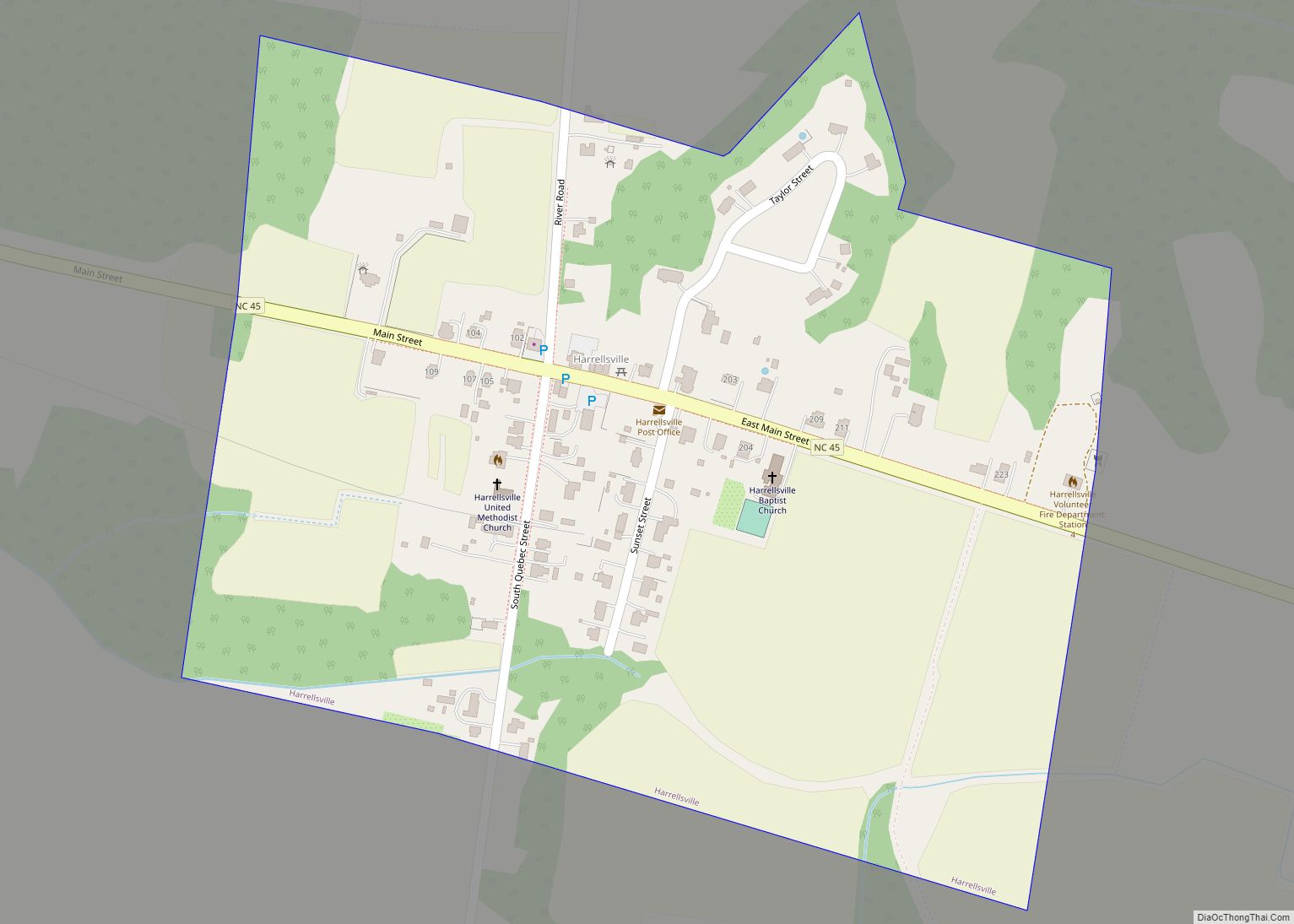
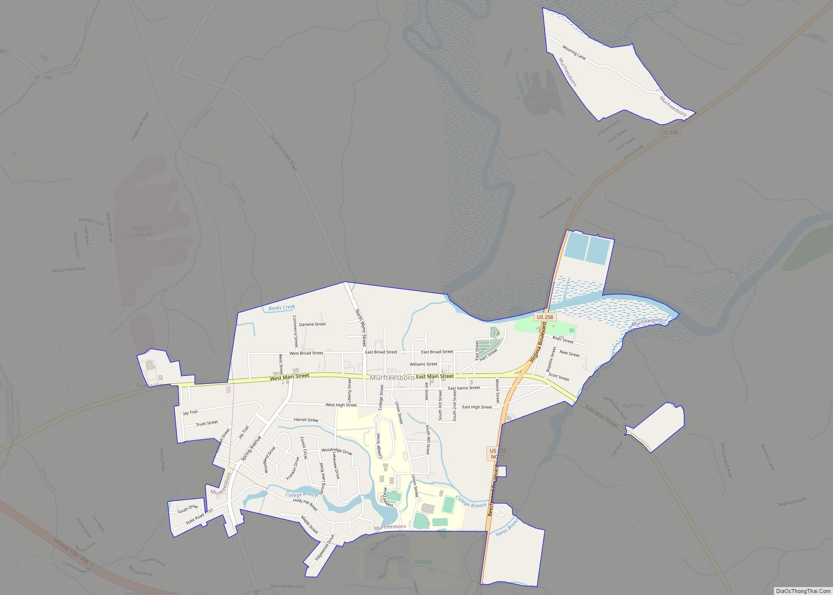
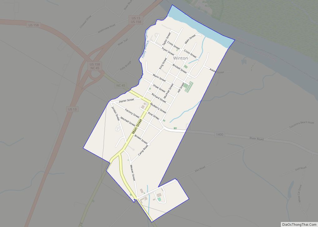
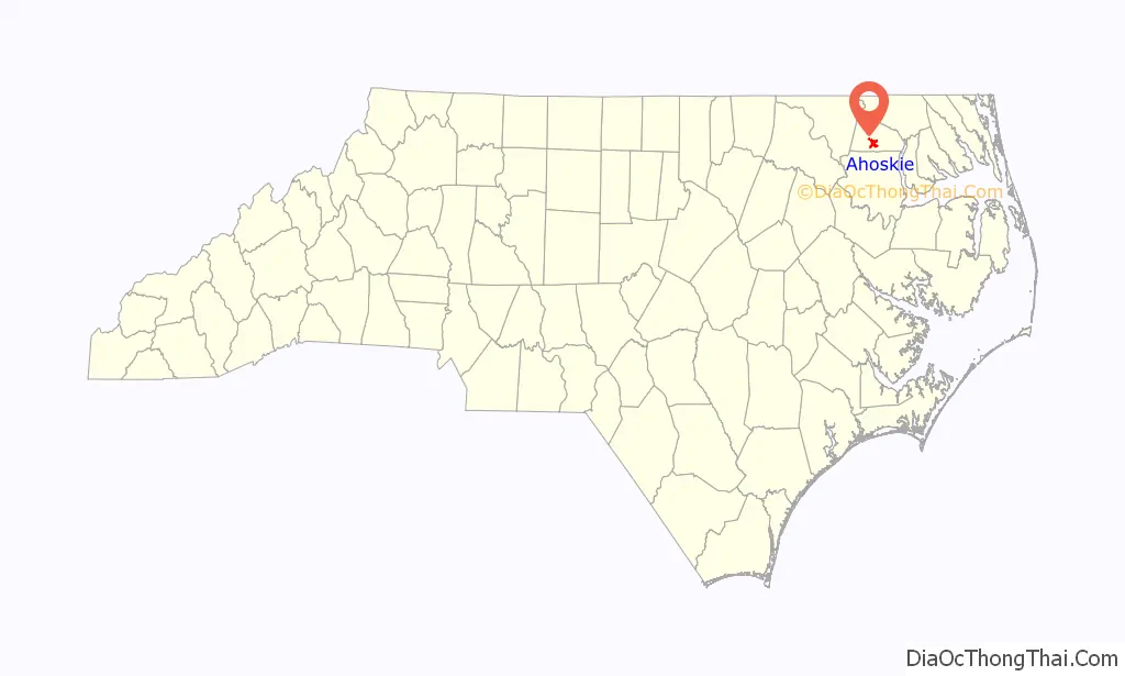
Online Interactive Map
Click on ![]() to view map in "full screen" mode.
to view map in "full screen" mode.
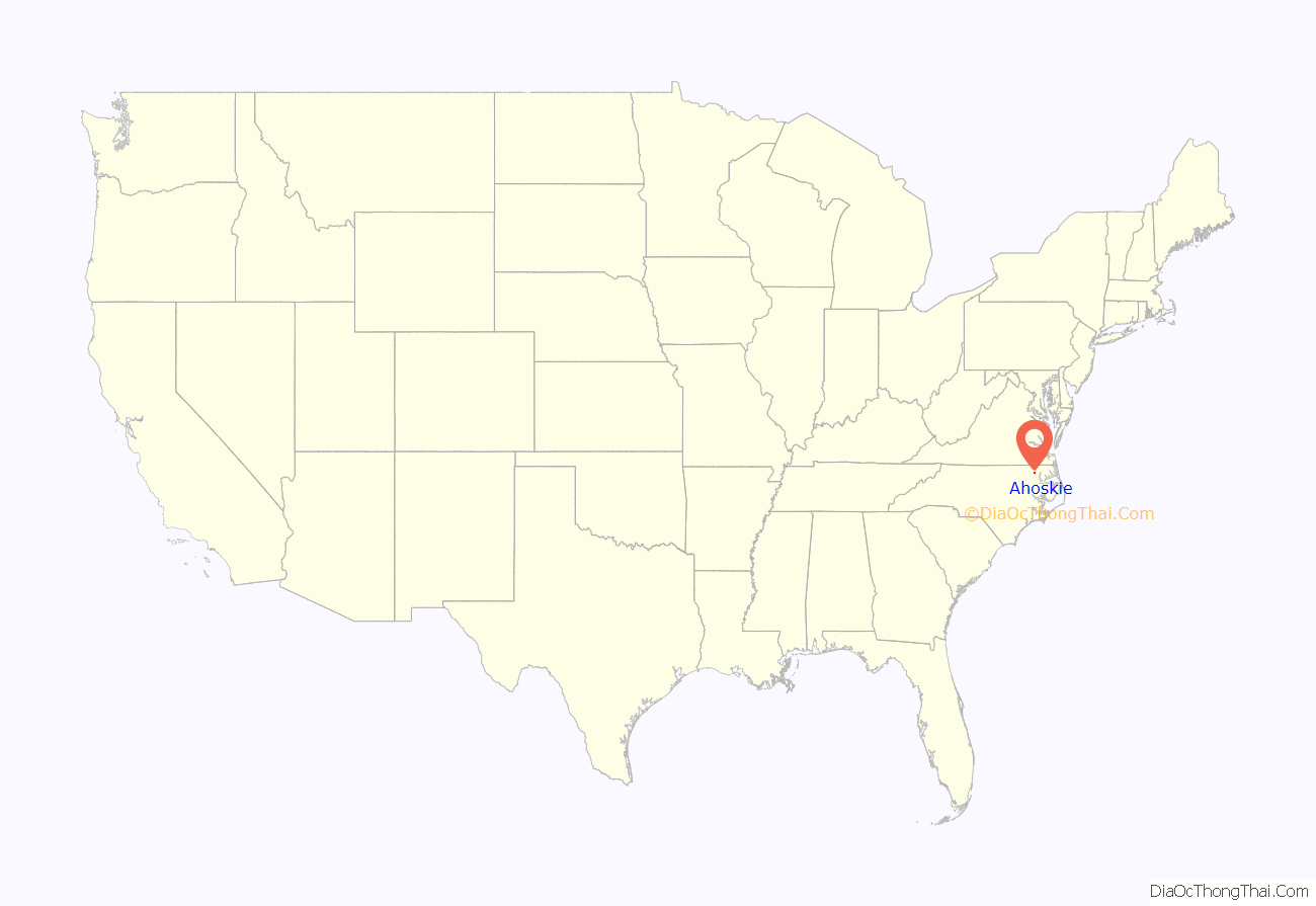
Ahoskie location map. Where is Ahoskie town?
History
Ahoskie began as a railroad siding for log trains hauling timber from the forests of Bertie and Hertford counties to a sawmill at Tunis on the Chowan and Southern Railroad line beginning in 1885. The town grew out of a loading station and commissaries to supply the community workers who cut, hauled and loaded the logs. Ahoskie’s post office was established in 1889. The first passenger train passed through town on the newly opened tracks of the Norfolk and Carolina line in 1890.
By the time of its incorporation on January 24, 1893, Ahoskie had grown to include several stores, a saw mill and gin, a one-room school and a Baptist church. Other industries that flourished in the town’s early days included an ice plant, a laundry operated by a wandering Chinese man, and a number of horse and mule exchanges and sales stables. Since few of the smaller towns in Hertford and Bertie counties were located on passenger lines, traveling salesman or “drummers” would use the town as a base to make sales trips to outlying community stores by horse and buggy.
The town’s first bank, the Bank of Ahoskie, was chartered in 1905.
This area’s economy was initially based on the cultivation of tobacco and cotton. It has continued to be largely rural with small towns.
The town has both historic districts and individual buildings listed on the National Register of Historic Places: the Ahoskie Historic District, Ahoskie Downtown Historic District, and East End Historic District; and Ahoskie School, Roberts H. Jernigan House, King-Casper-Ward-Bazemore House, William Mitchell House, Mulberry Grove, and James Newsome House. The town has highlighted these resources to encourage heritage tourism.
The county gave an acre of land on which the first Black school in Ahoskie was built, three years after the Civil War. The one-room schoolhouse at Hayes Street and Catherine Creek Road remained about 35 years. The first teacher at the school was Van Butler, and the school term was four months.
Through years of untiring efforts by the Black community, by 1939 the Ahoskie Graded School consisted of two brick buildings, with fourteen elementary teachers, five high school teachers and an enrollment of some 800 boys and girls.
The first Black church, The New Ahoskie Baptist Church, was organized in 1866. Other early churches in the Black community were The Methodist Church and Calvary Baptist Church.
The first charity organized in the Black community was Love and Charity, a mutual help group that met in members’ homes under the slogan “Love to All, True to each Other, Mercy to all Mankind.” Other early organizations included the Elks, Masons and Tents. The United Order of the Queens of the Orient had its origins in Ahoskie in 1923.
By 1939, the town had grown to include a number of Black-owned businesses including five grocery stores, three barber shops, three cafes, a dry goods store, a millinery shop, three hairdressers, three seamstresses, a doctor, a stenographer, two funeral homes and a garage. The Atlantic District Fair Association represented the economic interests of the town’s Black community.
Perhaps the largest show seen in the town was a visit by Buffalo Bill’s Wild West Show in October 1916, an event that drew an estimated 12,000 people and required three shows to accommodate everybody. The leading citizens of the town hosted a breakfast at The Manhattan hotel for Col. William F. Cody, who expressed his deep appreciation for the hospitality accorded to him. Cody’s visit came about through the personal solicitation of a kinsman of the show’s business manager.
Electric lights were first turned on in Ahoskie around Christmas in 1915. The power was generated by a gasoline engine and within two years was providing electricity day and night.
Ahoskie was the first stop in North Carolina for first lady Ladybird Johnson during her whistle-stop tour of the South aboard the Lady Bird Express, on Oct. 6, 1964.
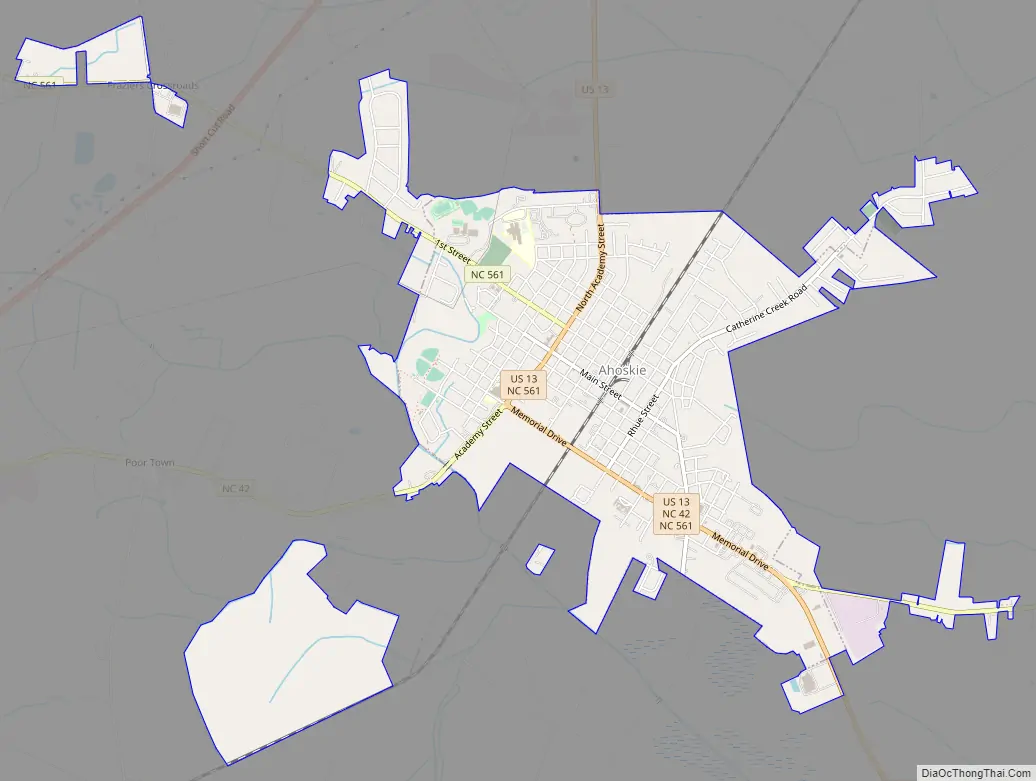
Ahoskie Road Map
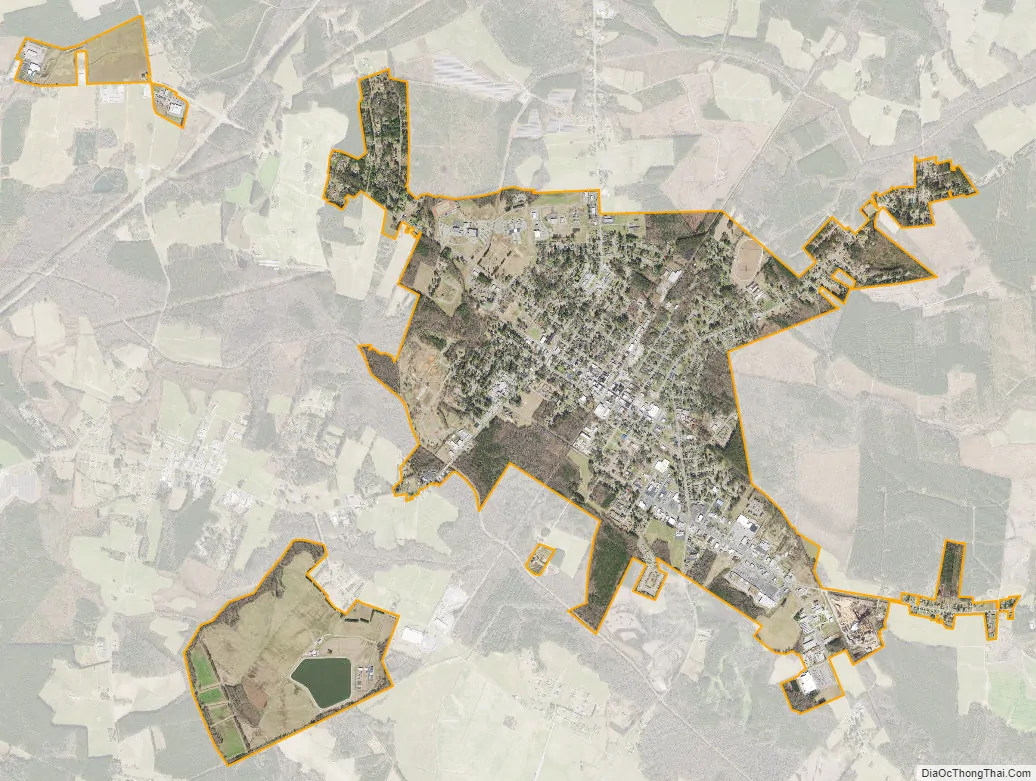
Ahoskie city Satellite Map
Geography
Ahoskie is located at 36°17′11″N 76°59′11″W / 36.28639°N 76.98639°W / 36.28639; -76.98639 (36.286439, -76.986436).
According to the United States Census Bureau, the town has a total area of 4.35 square miles, all land.
See also
Map of North Carolina State and its subdivision:- Alamance
- Alexander
- Alleghany
- Anson
- Ashe
- Avery
- Beaufort
- Bertie
- Bladen
- Brunswick
- Buncombe
- Burke
- Cabarrus
- Caldwell
- Camden
- Carteret
- Caswell
- Catawba
- Chatham
- Cherokee
- Chowan
- Clay
- Cleveland
- Columbus
- Craven
- Cumberland
- Currituck
- Dare
- Davidson
- Davie
- Duplin
- Durham
- Edgecombe
- Forsyth
- Franklin
- Gaston
- Gates
- Graham
- Granville
- Greene
- Guilford
- Halifax
- Harnett
- Haywood
- Henderson
- Hertford
- Hoke
- Hyde
- Iredell
- Jackson
- Johnston
- Jones
- Lee
- Lenoir
- Lincoln
- Macon
- Madison
- Martin
- McDowell
- Mecklenburg
- Mitchell
- Montgomery
- Moore
- Nash
- New Hanover
- Northampton
- Onslow
- Orange
- Pamlico
- Pasquotank
- Pender
- Perquimans
- Person
- Pitt
- Polk
- Randolph
- Richmond
- Robeson
- Rockingham
- Rowan
- Rutherford
- Sampson
- Scotland
- Stanly
- Stokes
- Surry
- Swain
- Transylvania
- Tyrrell
- Union
- Vance
- Wake
- Warren
- Washington
- Watauga
- Wayne
- Wilkes
- Wilson
- Yadkin
- Yancey
- Alabama
- Alaska
- Arizona
- Arkansas
- California
- Colorado
- Connecticut
- Delaware
- District of Columbia
- Florida
- Georgia
- Hawaii
- Idaho
- Illinois
- Indiana
- Iowa
- Kansas
- Kentucky
- Louisiana
- Maine
- Maryland
- Massachusetts
- Michigan
- Minnesota
- Mississippi
- Missouri
- Montana
- Nebraska
- Nevada
- New Hampshire
- New Jersey
- New Mexico
- New York
- North Carolina
- North Dakota
- Ohio
- Oklahoma
- Oregon
- Pennsylvania
- Rhode Island
- South Carolina
- South Dakota
- Tennessee
- Texas
- Utah
- Vermont
- Virginia
- Washington
- West Virginia
- Wisconsin
- Wyoming