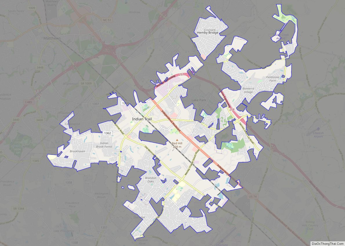
Map of Icard CDP

Map of Icard CDP

Icard CDP overview: Name: Icard CDP LSAD Code: 57 LSAD Description: CDP (suffix) State: North Carolina County: Burke County FIPS code: 3733320 Online Interactive Map Icard online map. Source: Basemap layers from Google Map, Open Street Map (OSM), Arcgisonline, Wmflabs. Boundary Data from Database of Global Administrative Areas. Icard location map. Where is Icard CDP? … Read more

Map of Huntersville town

Map of Huntersville town, North Carolina

Huntersville is a large suburban town in Mecklenburg County, North Carolina, United States. At the 2020 census, its population was 61,376, making Huntersville the 15th largest municipality in North Carolina. It is located in the Charlotte metropolitan area and 14 mi (23 km) north of Charlotte. Huntersville town overview: Name: Huntersville town LSAD Code: 43 LSAD Description: … Read more

Map of Hudson town, North Carolina

Map of Hudson town, North Carolina

Hudson is a town in Caldwell County, North Carolina, United States. The population was 3,776 at the 2010 census. It is part of the Hickory–Lenoir–Morganton Metropolitan Statistical Area. Hudson town overview: Name: Hudson town LSAD Code: 43 LSAD Description: town (suffix) State: North Carolina County: Caldwell County Elevation: 1,263 ft (385 m) Total Area: 3.66 sq mi (9.47 km²) Land … Read more

Map of Hot Springs town, North Carolina

Map of Hot Springs town, North Carolina

Hot Springs is a town in Madison County, North Carolina, United States. The population was 560 at the 2010 census. It is part of the Asheville Metropolitan Statistical Area. It is a resort town, reliant on the tourist economy of its namesake springs, and being situated near the Appalachian Trail and the French Broad River. … Read more

Map of Jamestown town, North Carolina

Map of Jamestown town, North Carolina

Jamestown is a town in Guilford County, North Carolina, United States. It is a suburb of the nearby cities of Greensboro and High Point. The population was 3,382 at the 2010 census. Jamestown town overview: Name: Jamestown town LSAD Code: 43 LSAD Description: town (suffix) State: North Carolina County: Guilford County Elevation: 801 ft (244 m) Total … Read more

Map of James City CDP

Map of James City CDP, North Carolina

James City is an unincorporated area and census-designated place (CDP) in Craven County, North Carolina, United States. The population was 5,899 at the 2010 census. It is part of the New Bern, North Carolina Metropolitan Statistical Area. James City CDP overview: Name: James City CDP LSAD Code: 57 LSAD Description: CDP (suffix) State: North Carolina … Read more

Map of Jacksonville city, North Carolina

Map of Jacksonville city, North Carolina

Jacksonville is a city in Onslow County, North Carolina, United States. As of the 2020 census, the population was 72,723, which makes Jacksonville the 14th-largest city in North Carolina. Jacksonville is the county seat and most populous community of Onslow County, which is coterminous with the Jacksonville Metropolitan Area. Demographically, Jacksonville is the youngest city … Read more

Map of Jackson town, North Carolina

Map of Jackson town, North Carolina

Jackson is a town in Northampton County, North Carolina, United States. The population was 513 at the 2010 census. It is the county seat of Northampton County. Jackson is part of the Roanoke Rapids, North Carolina Micropolitan Statistical Area. Jackson town overview: Name: Jackson town LSAD Code: 43 LSAD Description: town (suffix) State: North Carolina … Read more

Map of Jackson Heights CDP

Map of Jackson Heights CDP

Jackson Heights is an unincorporated community and census-designated place (CDP) in Lenoir County, North Carolina, United States. Its population was 1,141 as of the 2010 census. Jackson Heights CDP overview: Name: Jackson Heights CDP LSAD Code: 57 LSAD Description: CDP (suffix) State: North Carolina County: Lenoir County Elevation: 79 ft (24 m) Total Area: 1.45 sq mi (3.76 km²) Land … Read more

Map of Keener CDP

Map of Keener CDP

Keener is a census-designated place (CDP) in Sampson County, North Carolina, United States. The population was 508 at the 2000 census. Keener CDP overview: Name: Keener CDP LSAD Code: 57 LSAD Description: CDP (suffix) State: North Carolina County: Sampson County Elevation: 177 ft (54 m) Total Area: 11.18 sq mi (28.96 km²) Land Area: 11.17 sq mi (28.94 km²) Water Area: 0.01 sq mi (0.02 km²) … Read more

Map of Kannapolis city

Map of Kannapolis city

Kannapolis (/kəˈnæpəlɪs/) is a city in Cabarrus and Rowan counties, in the U.S. state of North Carolina, northwest of Concord and northeast of Charlotte and is a suburb in the Charlotte metropolitan area. The city of Kannapolis was incorporated in 1984. The population was 53,114 at the 2020 census, which makes Kannapolis the 19th largest … Read more

Map of Jonesville town, North Carolina

Map of Jonesville town, North Carolina

Jonesville, originally called Allen’s Settlement, is the oldest town in Yadkin County, North Carolina, United States. The population was 2,285 at the 2010 census. The town grew by nearly 800 residents in 2001 when it merged with neighboring Arlington. Recognized as the Heart of the Yadkin Valley, Jonesville is a gateway to the Blue Ridge … Read more