Jacksonville is a city in Onslow County, North Carolina, United States. As of the 2020 census, the population was 72,723, which makes Jacksonville the 14th-largest city in North Carolina. Jacksonville is the county seat and most populous community of Onslow County, which is coterminous with the Jacksonville Metropolitan Area. Demographically, Jacksonville is the youngest city in the United States, with an average age of 22.8 years old, which can be attributed to the large military presence. The low age may also be in part due to the population drastically going up over the past 80 years, from 783 in the 1930 census to 72,876 in the 2021 Census estimate.
It is the home of the United States Marine Corps’ Camp Lejeune and New River Air Station. Jacksonville is located adjacent to North Carolina’s Crystal Coast area.
| Name: | Jacksonville city |
|---|---|
| LSAD Code: | 25 |
| LSAD Description: | city (suffix) |
| State: | North Carolina |
| County: | Onslow County |
| Founded: | 1757 |
| Incorporated: | 1842 |
| Elevation: | 15 ft (4.6 m) |
| Land Area: | 48.80 sq mi (126.40 km²) |
| Water Area: | 7.62 sq mi (19.74 km²) 1.51% |
| Population Density: | 1,490.16/sq mi (575.35/km²) |
| FIPS code: | 3734200 |
| GNISfeature ID: | 0987502 |
| Website: | www.ci.jacksonville.nc.us |
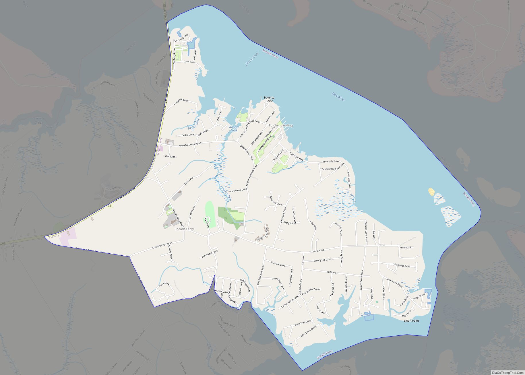
Online Interactive Map
Click on ![]() to view map in "full screen" mode.
to view map in "full screen" mode.
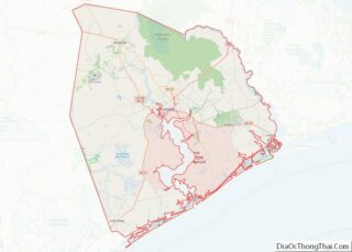
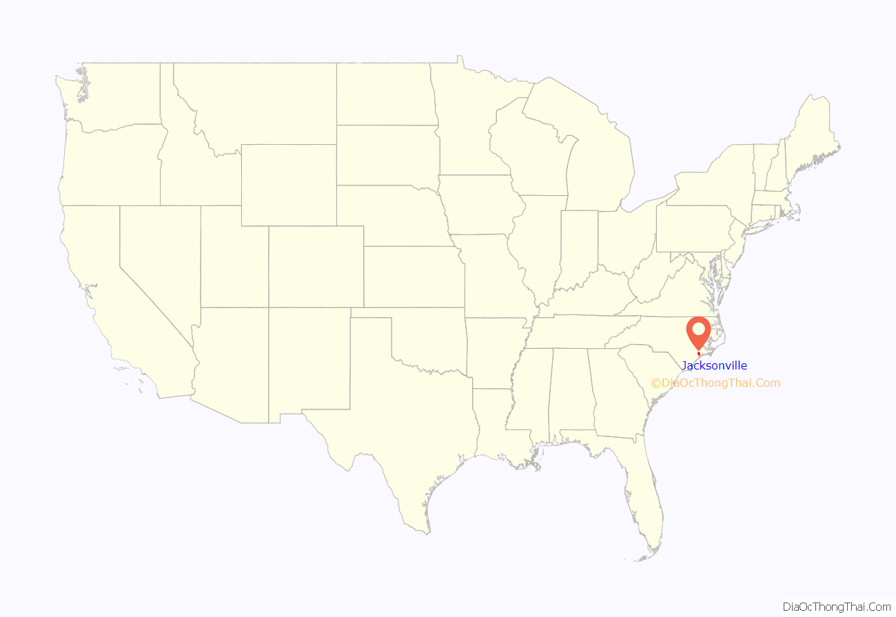
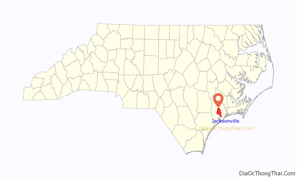
Jacksonville location map. Where is Jacksonville city?
History
After the end of the Tuscarora wars in 1713 and the forced removal of Native American tribes was followed by permanent settlement of the regions between New Bern and Wilmington. The New River became a major production center for naval stores like turpentine. The downtown waterfront park is built on the site original site of Wantland’s Ferry.
In 1752, a devastating hurricane destroyed the county seat of Johnston, and Wantlands Ferry, located further up the New River, at the present site of Jacksonville, was chosen as the site of the new county courthouse. The area was later known as Onslow Courthouse. In 1842, the town was incorporated and renamed Jacksonville in honor of former U.S. President Andrew Jackson. The town was briefly captured and occupied in November 1862 by a raiding party led by U.S. Navy Lt. William B. Cushing.
Jacksonville and Onslow County continued to rely on naval stores, lumber, and tobacco crops for industry. In 1939, Colonel George W. Gillette of the U.S. Army Corps of Engineers surveyed and mapped the area from Fort Monroe, Virginia to Fort Sumter, South Carolina which included the Onslow County coastline and the New River. The map is believed to have fostered the interest of the War and Navy Departments in establishing an amphibious training base in the area. Congressman Graham Arthur Barden of New Bern lobbied Congress to appropriate funds for the purchase of about 100,000 acres (400 km) along the eastern bank of the New River. The establishment in 1941 of Marine Barracks, New River, later renamed Camp Lejeune Marine Corps Base, led to the relocation of 700 families. While the landowners were compensated, many of the families displaced were sharecroppers who did not own the land on which their houses were built, and did not receive compensation for their structures. Some African American families were able to purchase property from Raymond Kellum and established the community of Kellumtown. Other displaced families established communities in Georgetown, Pickettown, Bell Fork, and Sandy Run. The latter communities have since been absorbed by Jacksonville. Colonel Gillette had planned to retire near the small village of Marine, ironically named after a local family whose surname was Marine, but lost his land to the acquisition, as well.
Construction of Camp Lejeune caused a population explosion in the small town of about 800 inhabitants, as new workers migrated to the area. Growth continued to be fueled by both young Marine families and military retirees. Today, Jacksonville’s primary industry is retail sales and services. The primary migration draw continues to be the U.S. Marine Corps.
The Bank of Onslow and Jacksonville Masonic Temple, Mill Avenue Historic District, and Pelletier House and Wantland Spring are listed on the National Register of Historic Places.
In 2016, Jacksonville became the first jurisdiction to adopt a paid holiday honoring the 13th Amendment to the United States Constitution, which made slavery in the United States and its territories illegal. The resolution of adoption mentions “the prevention of the modern slavery” which it describes as “human trafficking”, including child labor and military service.
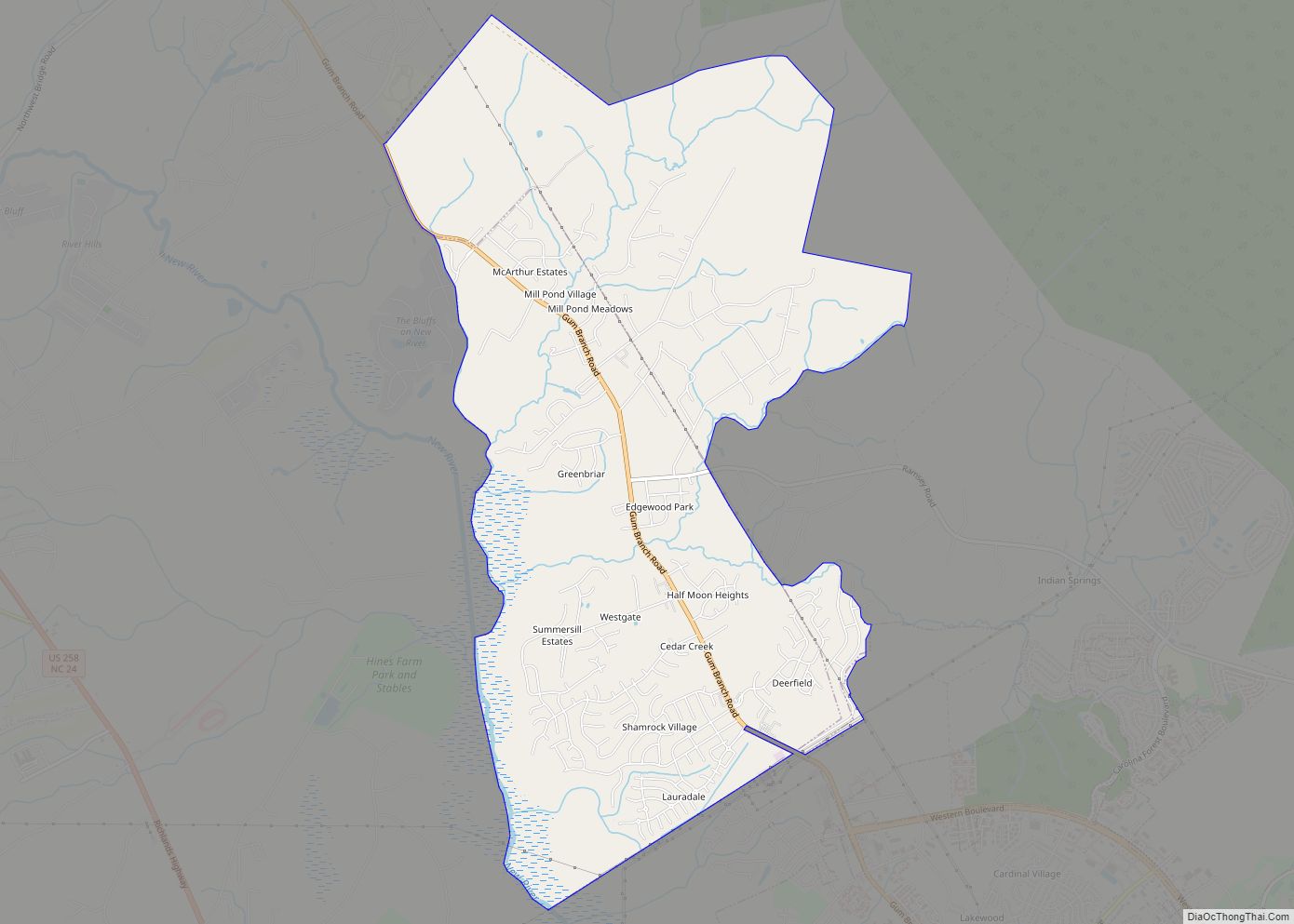
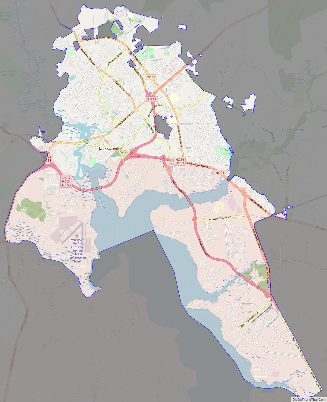
Jacksonville Road Map
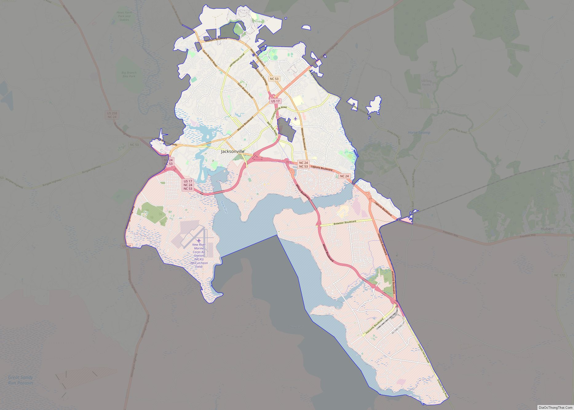
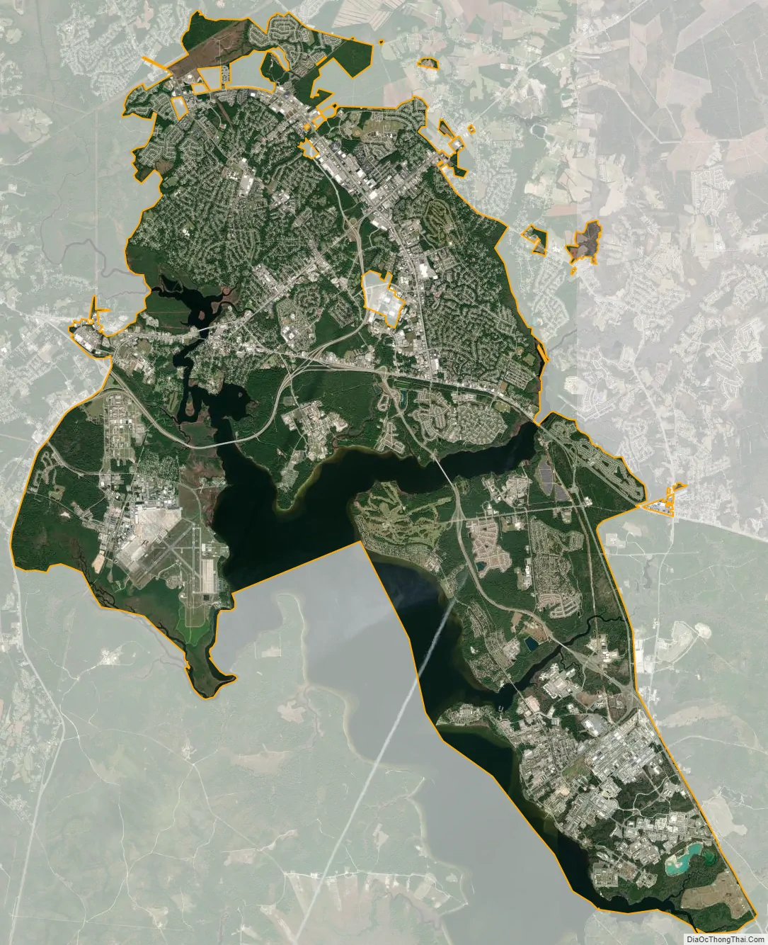
Jacksonville city Satellite Map
Geography
According to the United States Census Bureau, the city has a total area of 45.2 square miles (117 km), of which 0.7 square miles (1.8 km) (1.51%) is covered by water. It is about 60 minutes from Wilmington and 15 minutes from the Intracoastal Waterway.
Three public golf courses provide recreation for those who reside in or visit Jacksonville: Rock Creek, Swingin’ Things, and Paradise Point (located aboard MCB Camp Lejeune).
Climate
See also
Map of North Carolina State and its subdivision:- Alamance
- Alexander
- Alleghany
- Anson
- Ashe
- Avery
- Beaufort
- Bertie
- Bladen
- Brunswick
- Buncombe
- Burke
- Cabarrus
- Caldwell
- Camden
- Carteret
- Caswell
- Catawba
- Chatham
- Cherokee
- Chowan
- Clay
- Cleveland
- Columbus
- Craven
- Cumberland
- Currituck
- Dare
- Davidson
- Davie
- Duplin
- Durham
- Edgecombe
- Forsyth
- Franklin
- Gaston
- Gates
- Graham
- Granville
- Greene
- Guilford
- Halifax
- Harnett
- Haywood
- Henderson
- Hertford
- Hoke
- Hyde
- Iredell
- Jackson
- Johnston
- Jones
- Lee
- Lenoir
- Lincoln
- Macon
- Madison
- Martin
- McDowell
- Mecklenburg
- Mitchell
- Montgomery
- Moore
- Nash
- New Hanover
- Northampton
- Onslow
- Orange
- Pamlico
- Pasquotank
- Pender
- Perquimans
- Person
- Pitt
- Polk
- Randolph
- Richmond
- Robeson
- Rockingham
- Rowan
- Rutherford
- Sampson
- Scotland
- Stanly
- Stokes
- Surry
- Swain
- Transylvania
- Tyrrell
- Union
- Vance
- Wake
- Warren
- Washington
- Watauga
- Wayne
- Wilkes
- Wilson
- Yadkin
- Yancey
- Alabama
- Alaska
- Arizona
- Arkansas
- California
- Colorado
- Connecticut
- Delaware
- District of Columbia
- Florida
- Georgia
- Hawaii
- Idaho
- Illinois
- Indiana
- Iowa
- Kansas
- Kentucky
- Louisiana
- Maine
- Maryland
- Massachusetts
- Michigan
- Minnesota
- Mississippi
- Missouri
- Montana
- Nebraska
- Nevada
- New Hampshire
- New Jersey
- New Mexico
- New York
- North Carolina
- North Dakota
- Ohio
- Oklahoma
- Oregon
- Pennsylvania
- Rhode Island
- South Carolina
- South Dakota
- Tennessee
- Texas
- Utah
- Vermont
- Virginia
- Washington
- West Virginia
- Wisconsin
- Wyoming