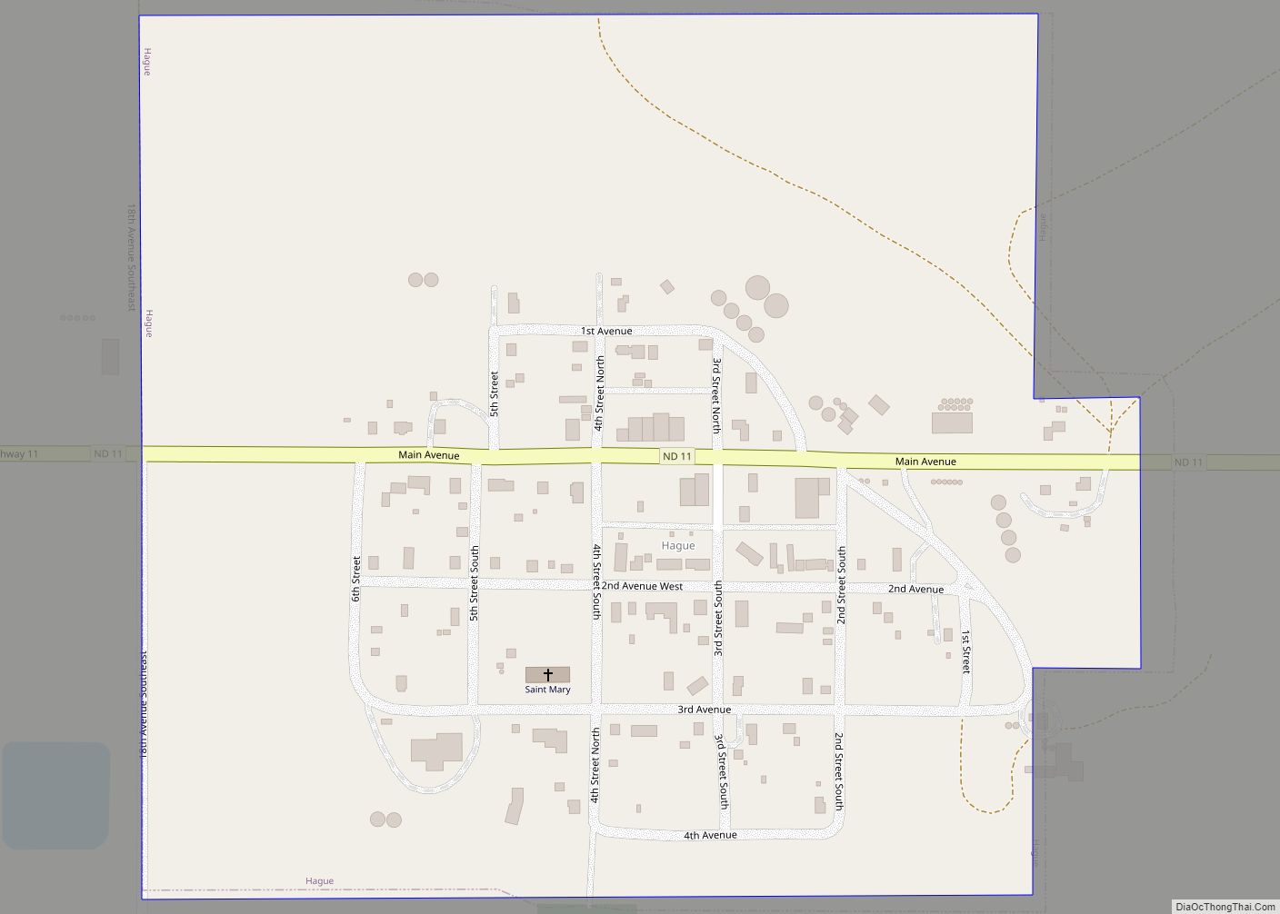
Hague is a city in Emmons County, North Dakota, United States. The population was 70 at the 2020 census. Hague was founded in 1902. Hague city overview: Name: Hague city LSAD Code: 25 LSAD Description: city (suffix) State: North Dakota County: Emmons County Founded: 1902 Elevation: 1,900 ft (579 m) Total Area: 0.26 sq mi (0.68 km²) Land Area: 0.26 sq mi ... Read more
North Dakota Cities and Places
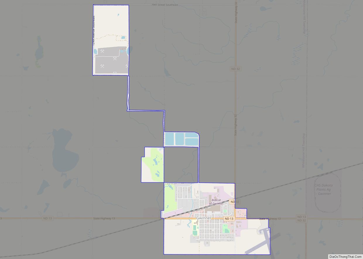
Gwinner is a city in Sargent County, North Dakota, United States. The population was 924 at the 2020 census. Gwinner was founded in 1900. Gwinner city overview: Name: Gwinner city LSAD Code: 25 LSAD Description: city (suffix) State: North Dakota County: Sargent County Founded: 1900 Elevation: 1,266 ft (386 m) Total Area: 2.06 sq mi (5.34 km²) Land Area: 2.06 sq mi ... Read more
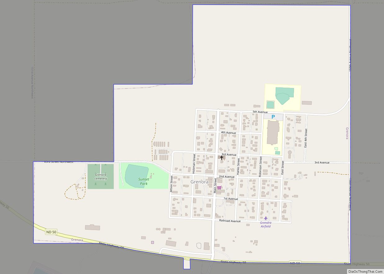
Grenora is a city in Williams County, North Dakota, United States. The population was 221 at the 2020 census. Grenora was founded in July 1916 at the terminus of a Great Northern Railway branch line that began in Stanley. The name is a portmanteau of letters in the railway’s name: GREat NOrthern RAilway. The tracks ... Read more
Green Acres is a census-designated place in Rolette County, North Dakota, United States. Its population was 605 as of the 2020 census. Green Acres CDP overview: Name: Green Acres CDP LSAD Code: 57 LSAD Description: CDP (suffix) State: North Dakota County: Rolette County Elevation: 1,923 ft (586 m) Total Area: 1.50 sq mi (3.90 km²) Land Area: 1.50 sq mi (3.90 km²) Water ... Read more
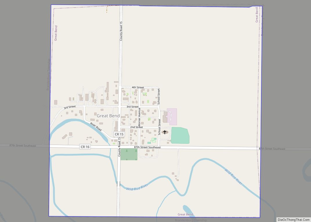
Great Bend is a city in Richland County, North Dakota, United States, on the banks of the Wild Rice River. Its population was 49 at the 2020 census. It was founded in 1888, and incorporated as a village in 1908. It is part of the Wahpeton, ND–MN Micropolitan Statistical Area. Great Bend city overview: Name: ... Read more
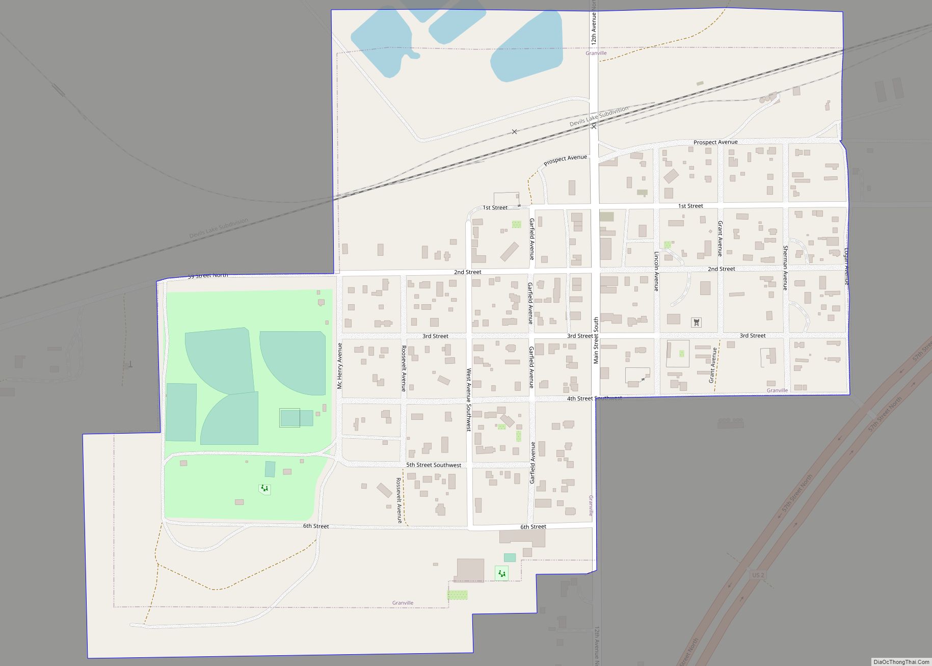
Granville is a city in McHenry County, North Dakota, United States. The population was 240 at the 2020 census. It is part of the Minot Micropolitan Statistical Area. Granville was founded in 1900. Granville city overview: Name: Granville city LSAD Code: 25 LSAD Description: city (suffix) State: North Dakota County: McHenry County Founded: 1900 Incorporated: ... Read more
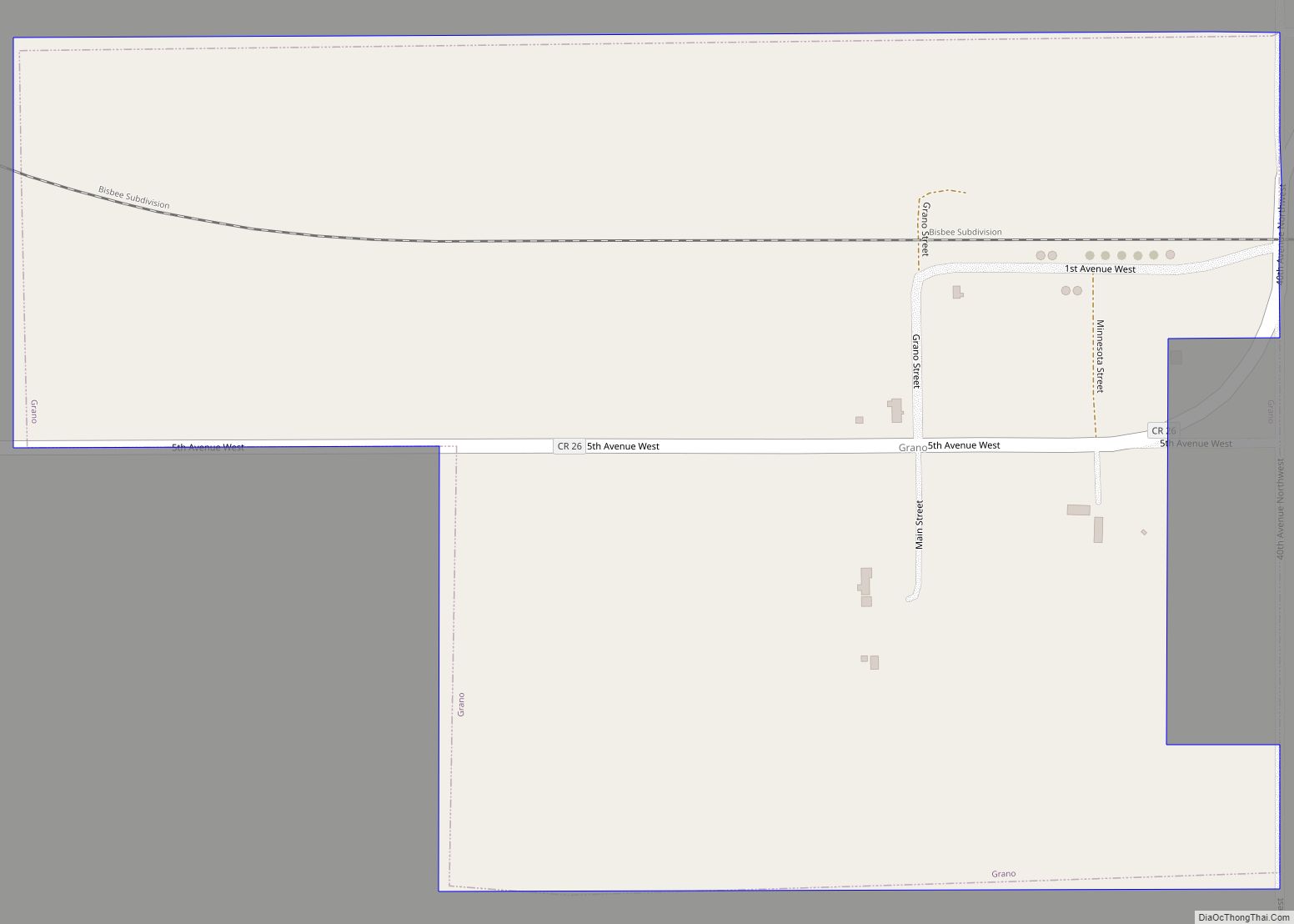
Grano is a city in Renville County, North Dakota, United States. The population was 10 at the 2020 Census. Grano was founded in 1905 along the Soo Line Railroad branch line running east from Kenmare across the northern portion of North Dakota. Several unconfirmed explanations exist regarding how the town got its name. It is ... Read more
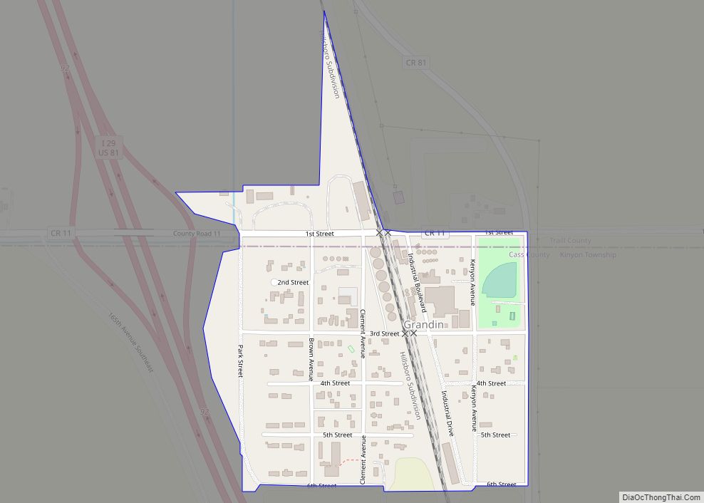
Grandin is a city in Cass and Traill counties in the State of North Dakota, founded in 1881. The population was 186 at the 2020 census. It is now a bedroom community for the nearby Fargo-Moorhead area. The farm that belonged to the city namesake brothers was one of the earliest adopters of the telephone ... Read more
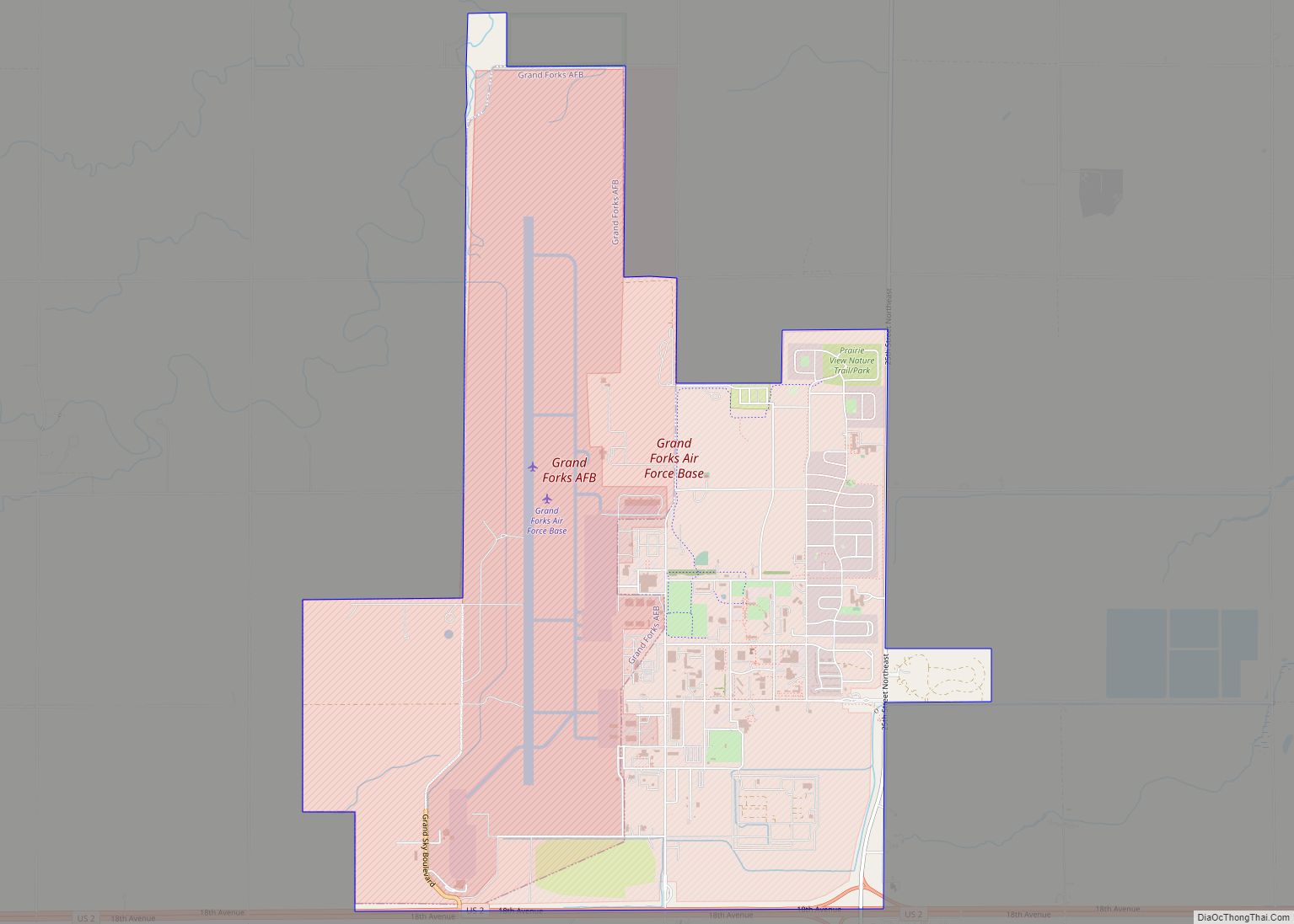
Grand Forks AFB CDP overview: Name: Grand Forks AFB CDP LSAD Code: 57 LSAD Description: CDP (suffix) State: North Dakota County: Grand Forks County FIPS code: 3832140 Online Interactive Map Grand Forks AFB online map. Source: Basemap layers from Google Map, Open Street Map (OSM), Arcgisonline, Wmflabs. Boundary Data from Database of Global Administrative Areas. ... Read more
Grafton is a city in the State of North Dakota and is the county seat of Walsh County. As of the 2020 Census, the city of Grafton had a population of 4,170, making it the fifteenth largest city in North Dakota. Grafton was founded in 1881. Grafton city overview: Name: Grafton city LSAD Code: 25 ... Read more
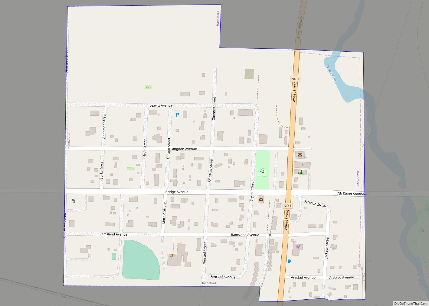
Hannaford is a city in Griggs County, North Dakota, United States. The population was 126 at the 2020 census. Hannaford was founded in 1883. Hannaford city overview: Name: Hannaford city LSAD Code: 25 LSAD Description: city (suffix) State: North Dakota County: Griggs County Founded: 1883 Elevation: 1,414 ft (431 m) Total Area: 0.22 sq mi (0.57 km²) Land Area: 0.22 sq mi ... Read more
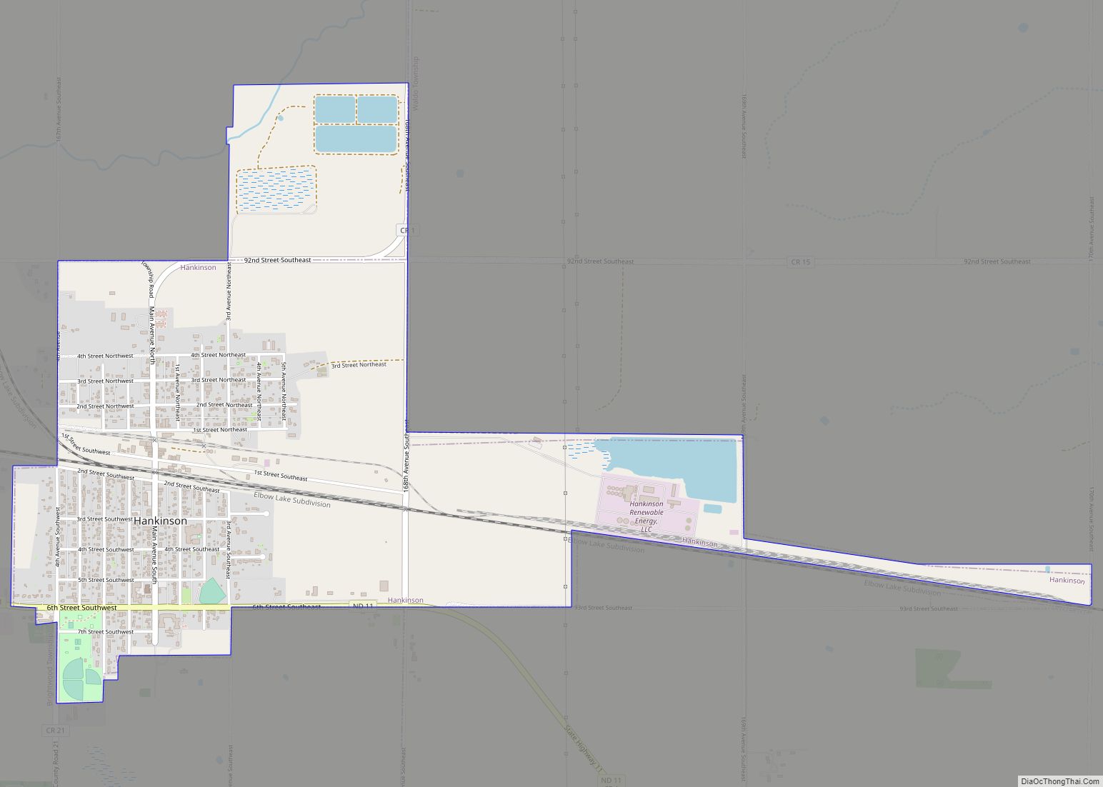
Hankinson is a city in Richland County, North Dakota, United States. The population was 921 at the 2020 census. Hankinson was founded in 1886. It is part of the Wahpeton, ND–MN Micropolitan Statistical Area. Hankinson city overview: Name: Hankinson city LSAD Code: 25 LSAD Description: city (suffix) State: North Dakota County: Richland County Founded: 1886 ... Read more
