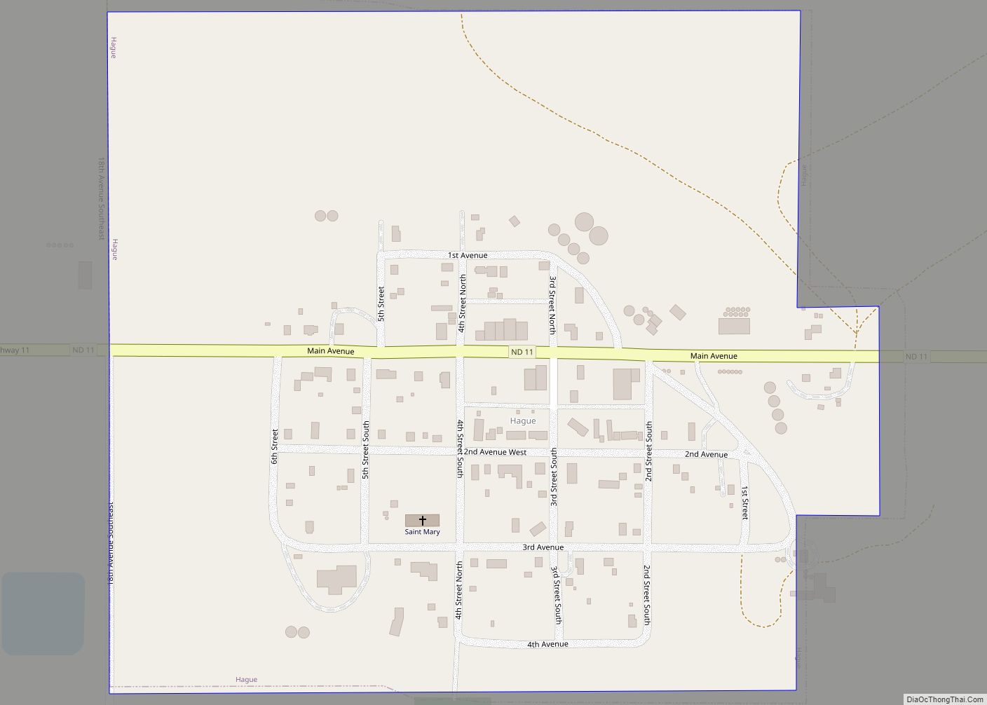
Hague is a city in Emmons County, North Dakota, United States. The population was 70 at the 2020 census. Hague was founded in 1902.
| Name: | Hague city |
|---|---|
| LSAD Code: | 25 |
| LSAD Description: | city (suffix) |
| State: | North Dakota |
| County: | Emmons County |
| Founded: | 1902 |
| Elevation: | 1,900 ft (579 m) |
| Total Area: | 0.26 sq mi (0.68 km²) |
| Land Area: | 0.26 sq mi (0.68 km²) |
| Water Area: | 0.00 sq mi (0.00 km²) |
| Total Population: | 70 |
| Population Density: | 266.16/sq mi (102.85/km²) |
| ZIP code: | 58542 |
| Area code: | 701 |
| FIPS code: | 3834180 |
| GNISfeature ID: | 1035603 |
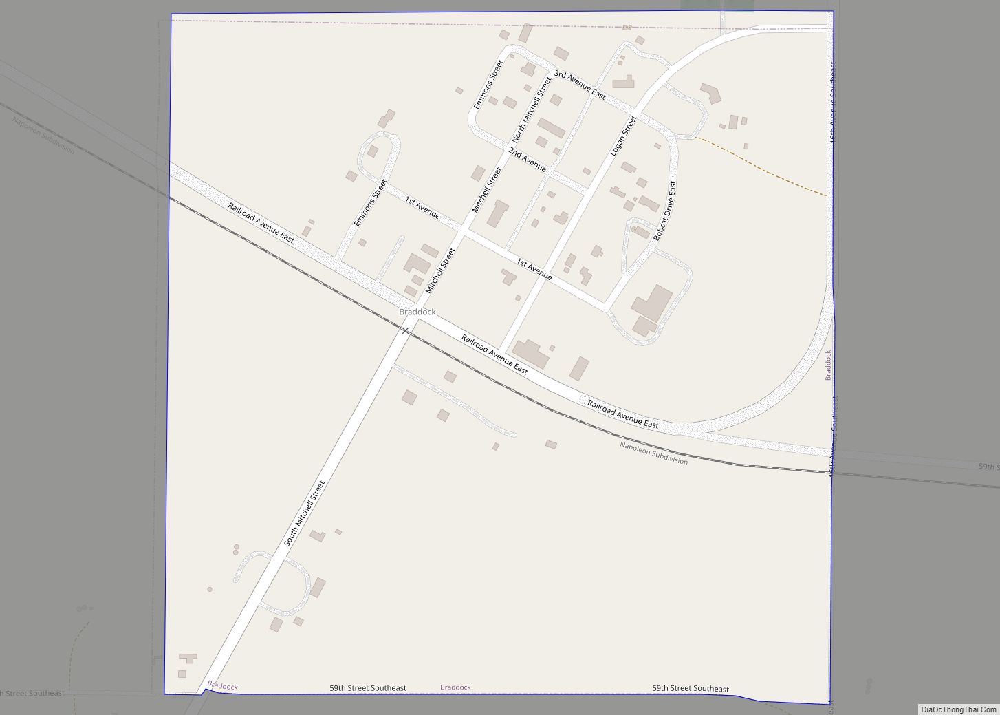
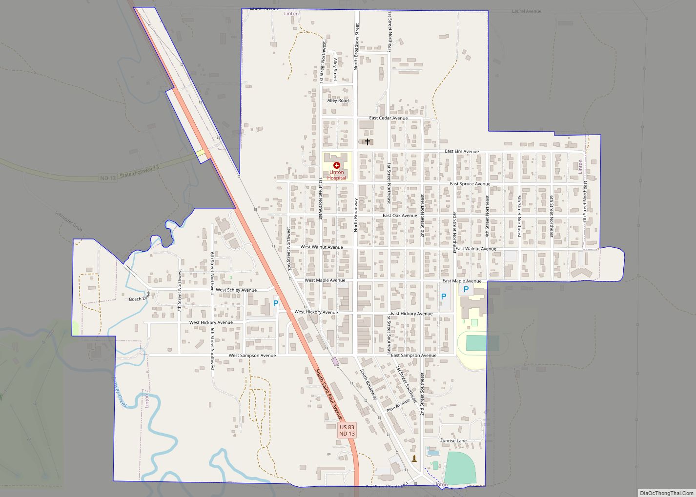
Online Interactive Map
Click on ![]() to view map in "full screen" mode.
to view map in "full screen" mode.
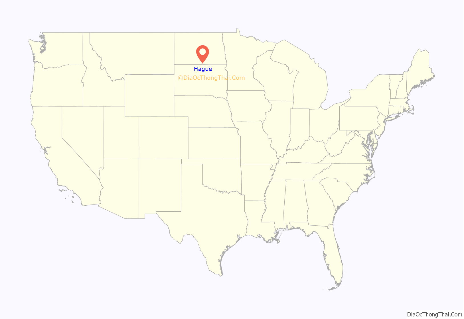
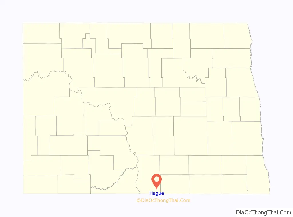
Hague location map. Where is Hague city?
History
Hague was laid out in 1902 when the railroad was extended to that point. The community took its name from The Hague, in the Netherlands. A post office has been in operation at Hague since 1902.
Historic sites
Several historic sites in or near Hague are listed on the National Register of Historic Places: Old St. Mary’s Cemetery, Wrought-Iron Cross Site, Wrought-iron cross sites of St. Aloysius Cemetery (Hague, North Dakota), and Wrought-iron cross sites of St. Mary’s Cemetery (Hague, North Dakota). St. Mary’s Catholic Church in Hague features works by artist Count Berthold von Imhoff.
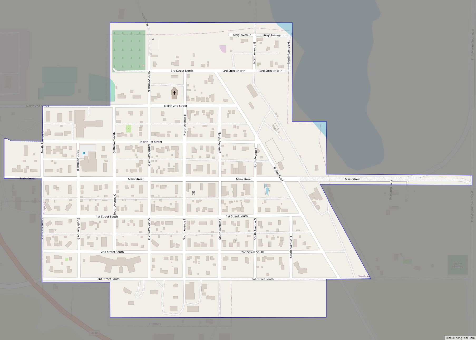
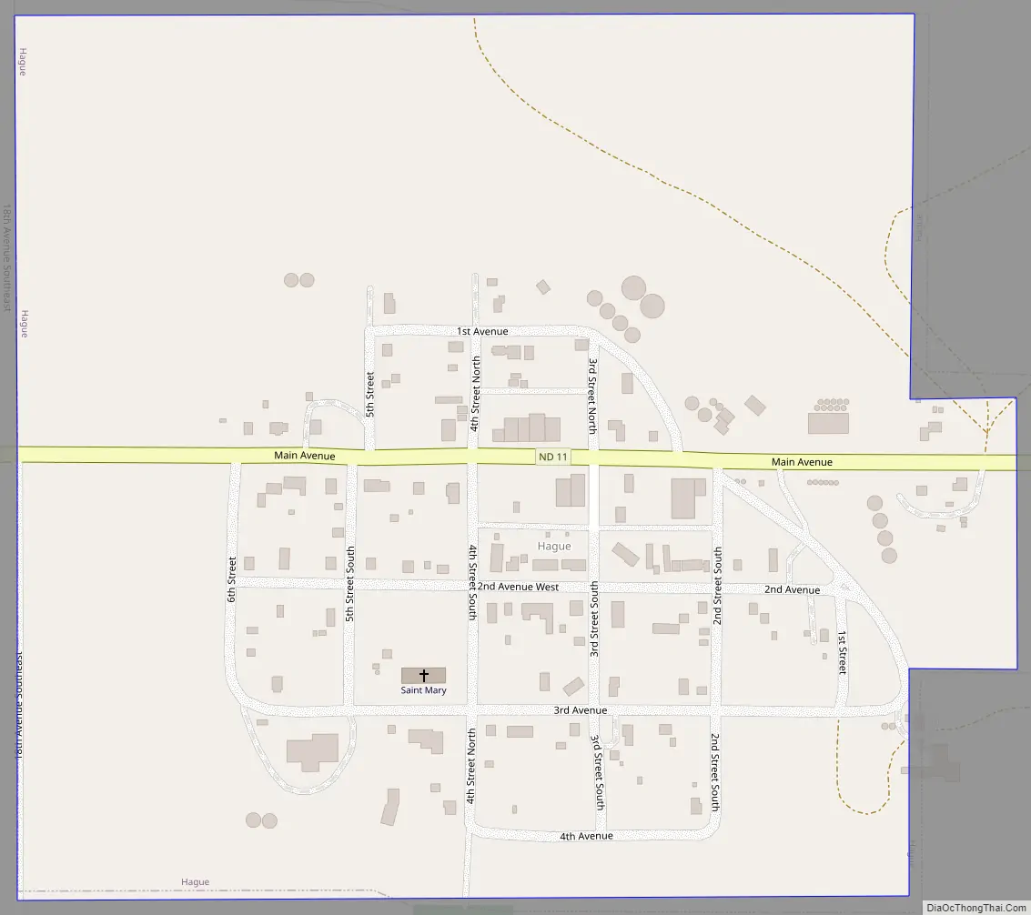
Hague Road Map
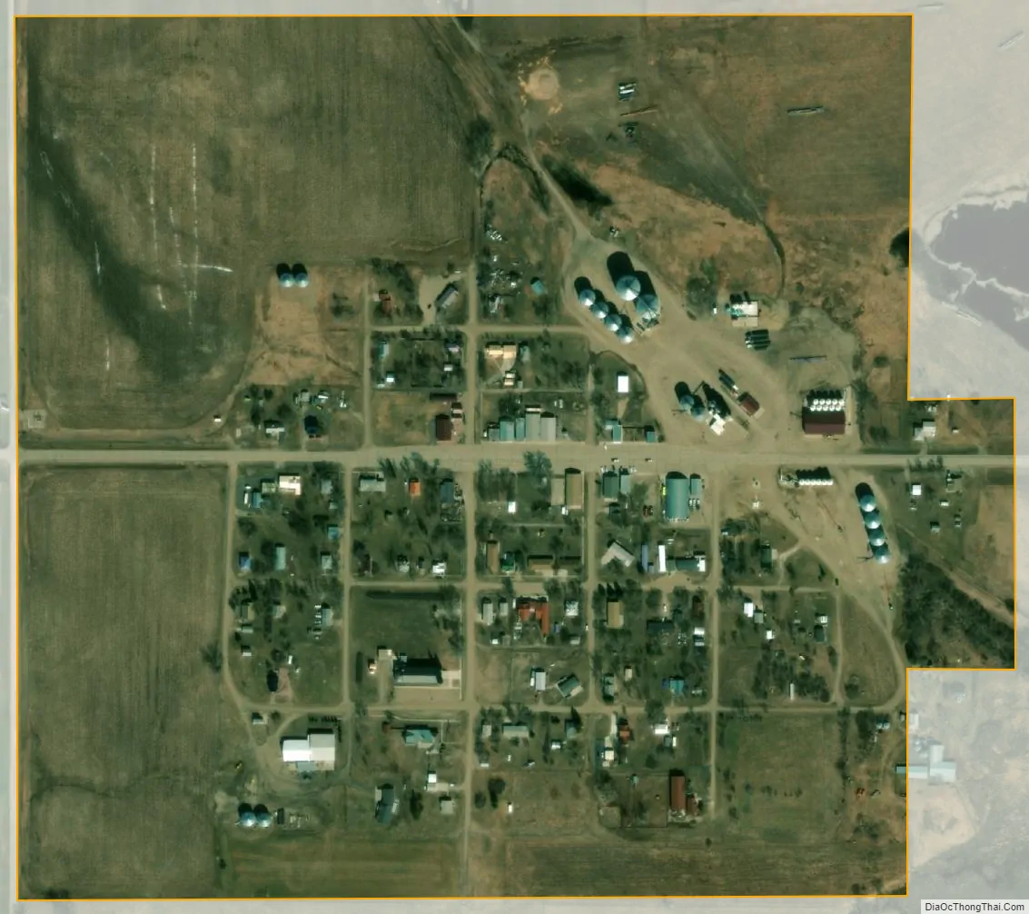
Hague city Satellite Map
Geography
Hague is located at 46°1′42″N 99°59′55″W / 46.02833°N 99.99861°W / 46.02833; -99.99861 (46.028313, -99.998640).
According to the United States Census Bureau, the city has a total area of 0.27 square miles (0.70 km), all land.
See also
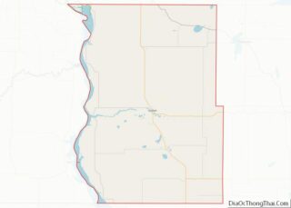
Map of North Dakota State and its subdivision:- Adams
- Barnes
- Benson
- Billings
- Bottineau
- Bowman
- Burke
- Burleigh
- Cass
- Cavalier
- Dickey
- Divide
- Dunn
- Eddy
- Emmons
- Foster
- Golden Valley
- Grand Forks
- Grant
- Griggs
- Hettinger
- Kidder
- Lamoure
- Logan
- McHenry
- McIntosh
- McKenzie
- McLean
- Mercer
- Morton
- Mountrail
- Nelson
- Oliver
- Pembina
- Pierce
- Ramsey
- Ransom
- Renville
- Richland
- Rolette
- Sargent
- Sheridan
- Sioux
- Slope
- Stark
- Steele
- Stutsman
- Towner
- Traill
- Walsh
- Ward
- Wells
- Williams
- Alabama
- Alaska
- Arizona
- Arkansas
- California
- Colorado
- Connecticut
- Delaware
- District of Columbia
- Florida
- Georgia
- Hawaii
- Idaho
- Illinois
- Indiana
- Iowa
- Kansas
- Kentucky
- Louisiana
- Maine
- Maryland
- Massachusetts
- Michigan
- Minnesota
- Mississippi
- Missouri
- Montana
- Nebraska
- Nevada
- New Hampshire
- New Jersey
- New Mexico
- New York
- North Carolina
- North Dakota
- Ohio
- Oklahoma
- Oregon
- Pennsylvania
- Rhode Island
- South Carolina
- South Dakota
- Tennessee
- Texas
- Utah
- Vermont
- Virginia
- Washington
- West Virginia
- Wisconsin
- Wyoming