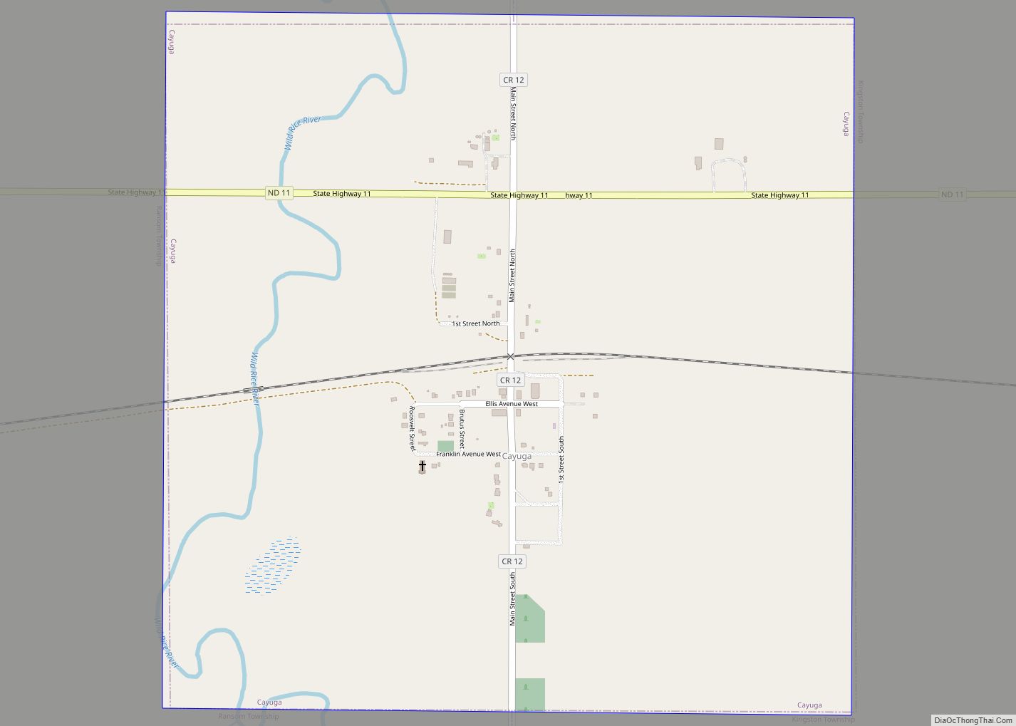
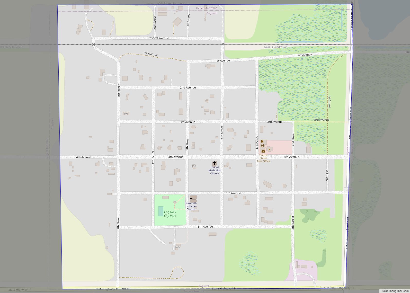
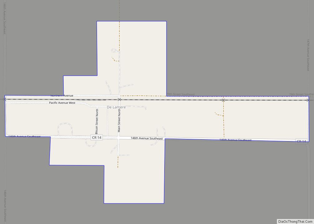
Gwinner is a city in Sargent County, North Dakota, United States. The population was 924 at the 2020 census. Gwinner was founded in 1900.
| Name: | Gwinner city |
|---|---|
| LSAD Code: | 25 |
| LSAD Description: | city (suffix) |
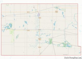
| State: | North Dakota |
| County: | Sargent County |
| Founded: | 1900 |
| Elevation: | 1,266 ft (386 m) |
| Total Area: | 2.06 sq mi (5.34 km²) |
| Land Area: | 2.06 sq mi (5.34 km²) |
| Water Area: | 0.00 sq mi (0.00 km²) |
| Total Population: | 924 |
| Population Density: | 448.11/sq mi (172.99/km²) |
| ZIP code: | 58040 |
| Area code: | 701 |
| FIPS code: | 3834020 |
| GNISfeature ID: | 1029264 |
| Website: | gwinnernd.com |
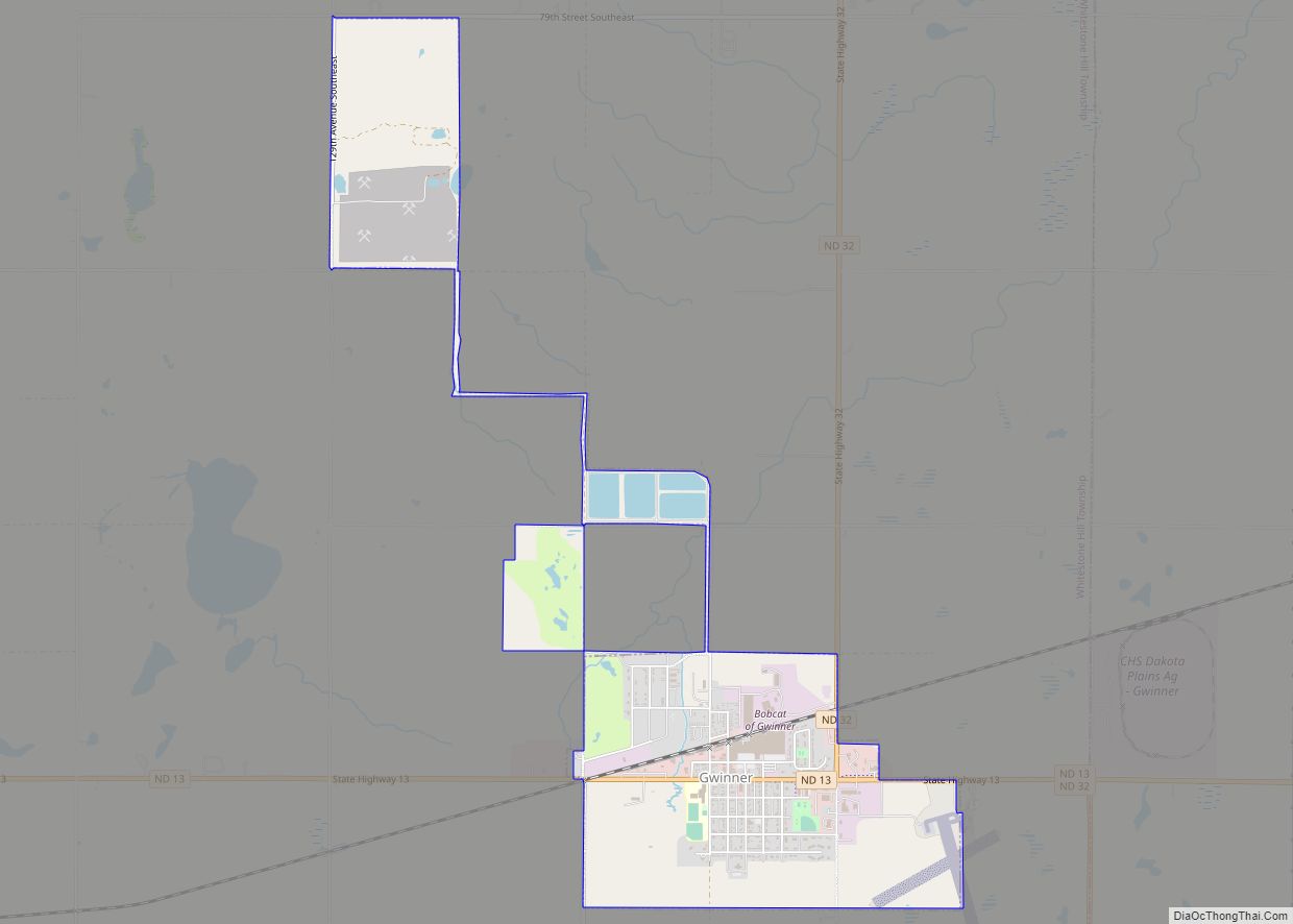
Online Interactive Map
Click on ![]() to view map in "full screen" mode.
to view map in "full screen" mode.
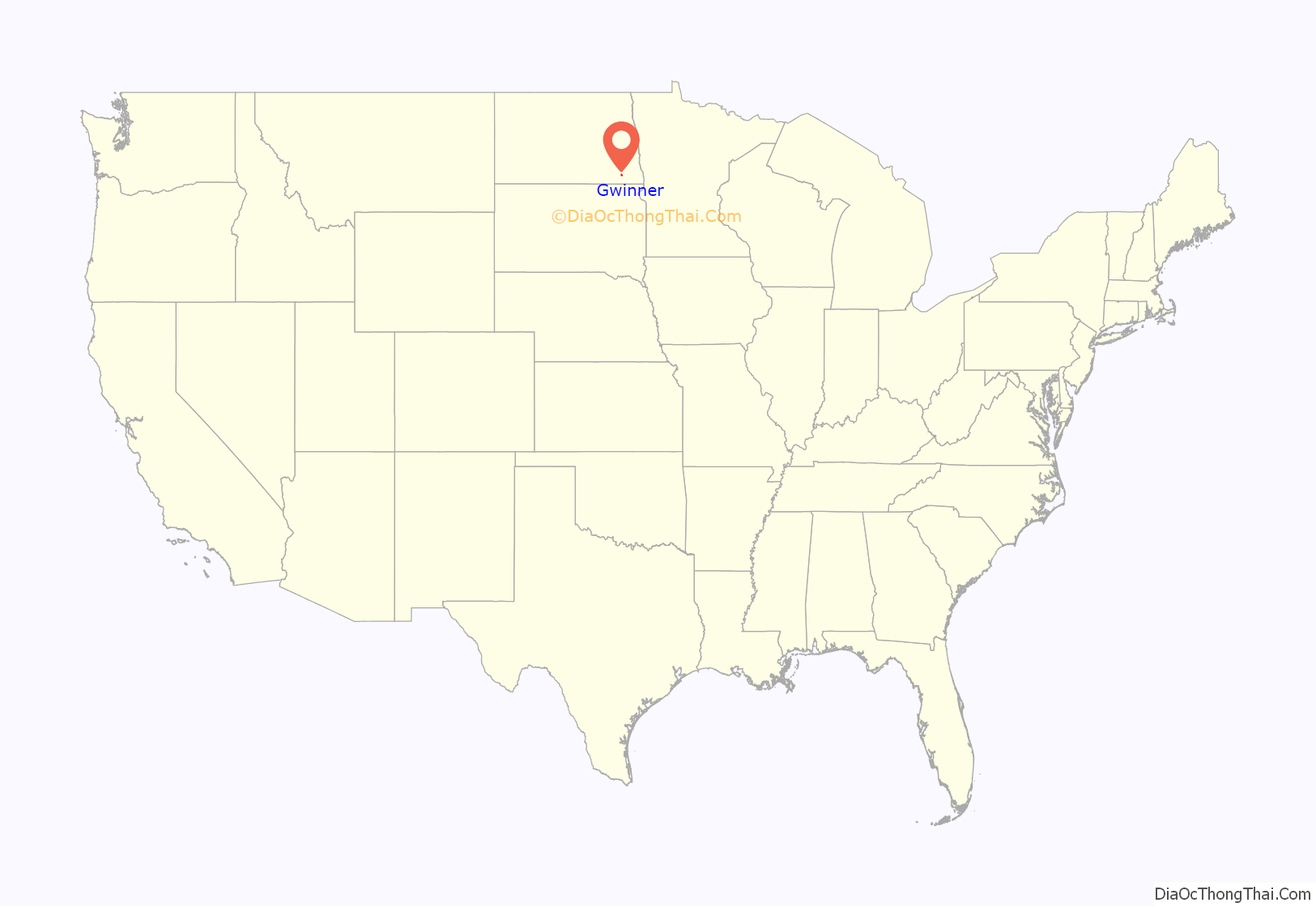
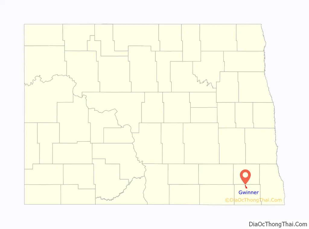
Gwinner location map. Where is Gwinner city?
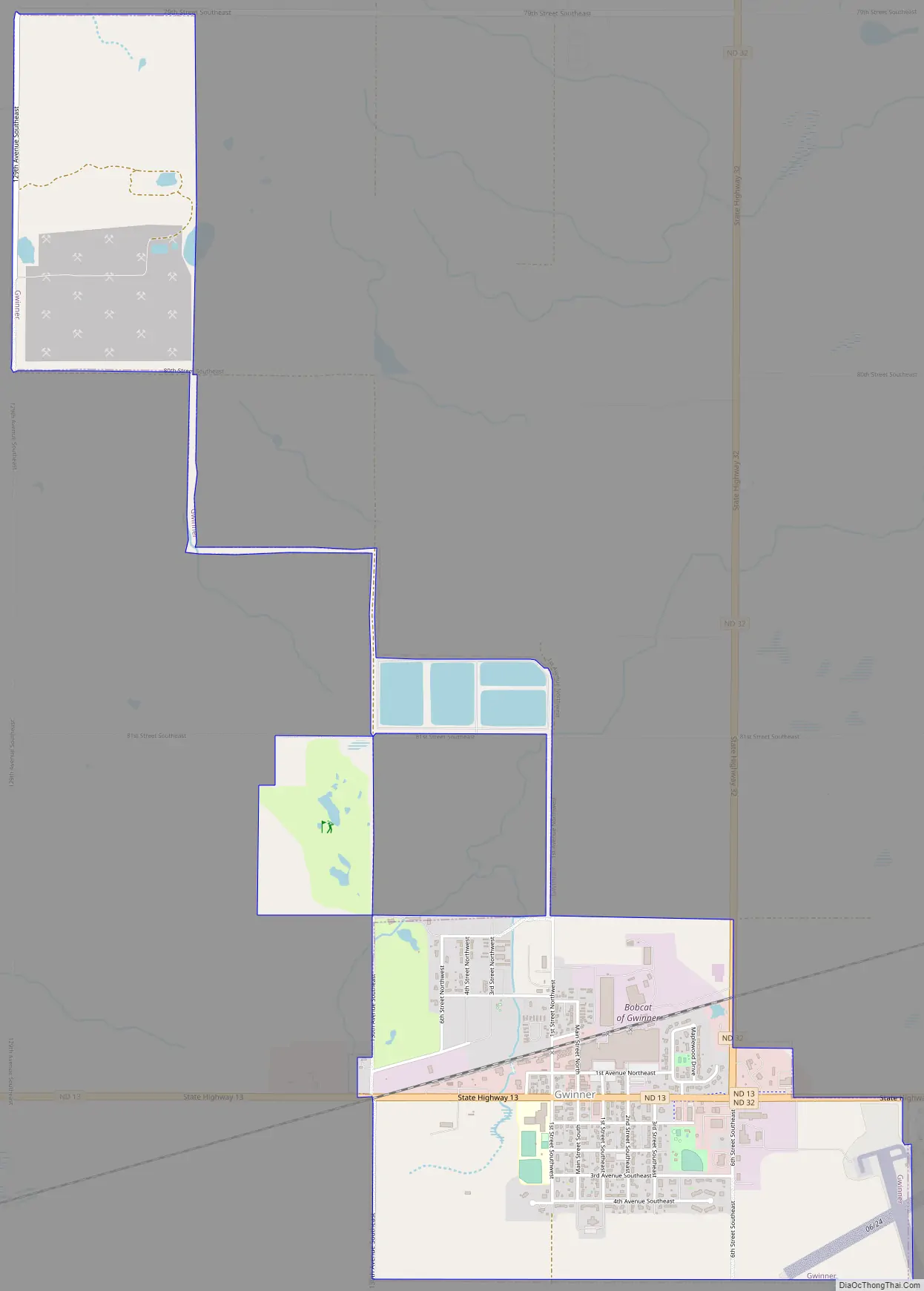
Gwinner Road Map
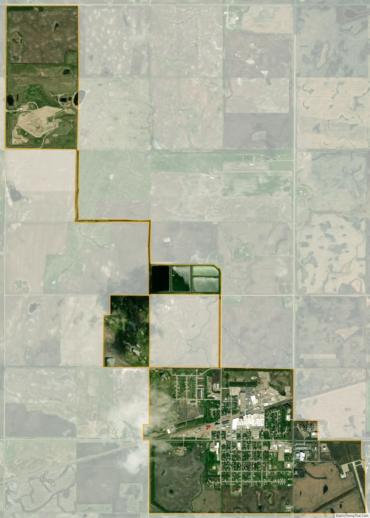
Gwinner city Satellite Map
Geography
Gwinner is located at 46°13′34″N 97°39′43″W / 46.22611°N 97.66194°W / 46.22611; -97.66194 (46.226105, -97.661863). Gwinner is the site of a manufacturing facility of Bobcat Company and was once the location of its American headquarters. Bobcat, which produces a skidsteer, track loader, and mini-excavator and is one of the largest employers in North Dakota and provides a wealth of economic stability to Gwinner, the North Sargent School District, and the entire region. According to the United States Census Bureau, the city has a total area of 2.08 square miles (5.39 km), all land.
See also
Map of North Dakota State and its subdivision:- Adams
- Barnes
- Benson
- Billings
- Bottineau
- Bowman
- Burke
- Burleigh
- Cass
- Cavalier
- Dickey
- Divide
- Dunn
- Eddy
- Emmons
- Foster
- Golden Valley
- Grand Forks
- Grant
- Griggs
- Hettinger
- Kidder
- Lamoure
- Logan
- McHenry
- McIntosh
- McKenzie
- McLean
- Mercer
- Morton
- Mountrail
- Nelson
- Oliver
- Pembina
- Pierce
- Ramsey
- Ransom
- Renville
- Richland
- Rolette
- Sargent
- Sheridan
- Sioux
- Slope
- Stark
- Steele
- Stutsman
- Towner
- Traill
- Walsh
- Ward
- Wells
- Williams
- Alabama
- Alaska
- Arizona
- Arkansas
- California
- Colorado
- Connecticut
- Delaware
- District of Columbia
- Florida
- Georgia
- Hawaii
- Idaho
- Illinois
- Indiana
- Iowa
- Kansas
- Kentucky
- Louisiana
- Maine
- Maryland
- Massachusetts
- Michigan
- Minnesota
- Mississippi
- Missouri
- Montana
- Nebraska
- Nevada
- New Hampshire
- New Jersey
- New Mexico
- New York
- North Carolina
- North Dakota
- Ohio
- Oklahoma
- Oregon
- Pennsylvania
- Rhode Island
- South Carolina
- South Dakota
- Tennessee
- Texas
- Utah
- Vermont
- Virginia
- Washington
- West Virginia
- Wisconsin
- Wyoming