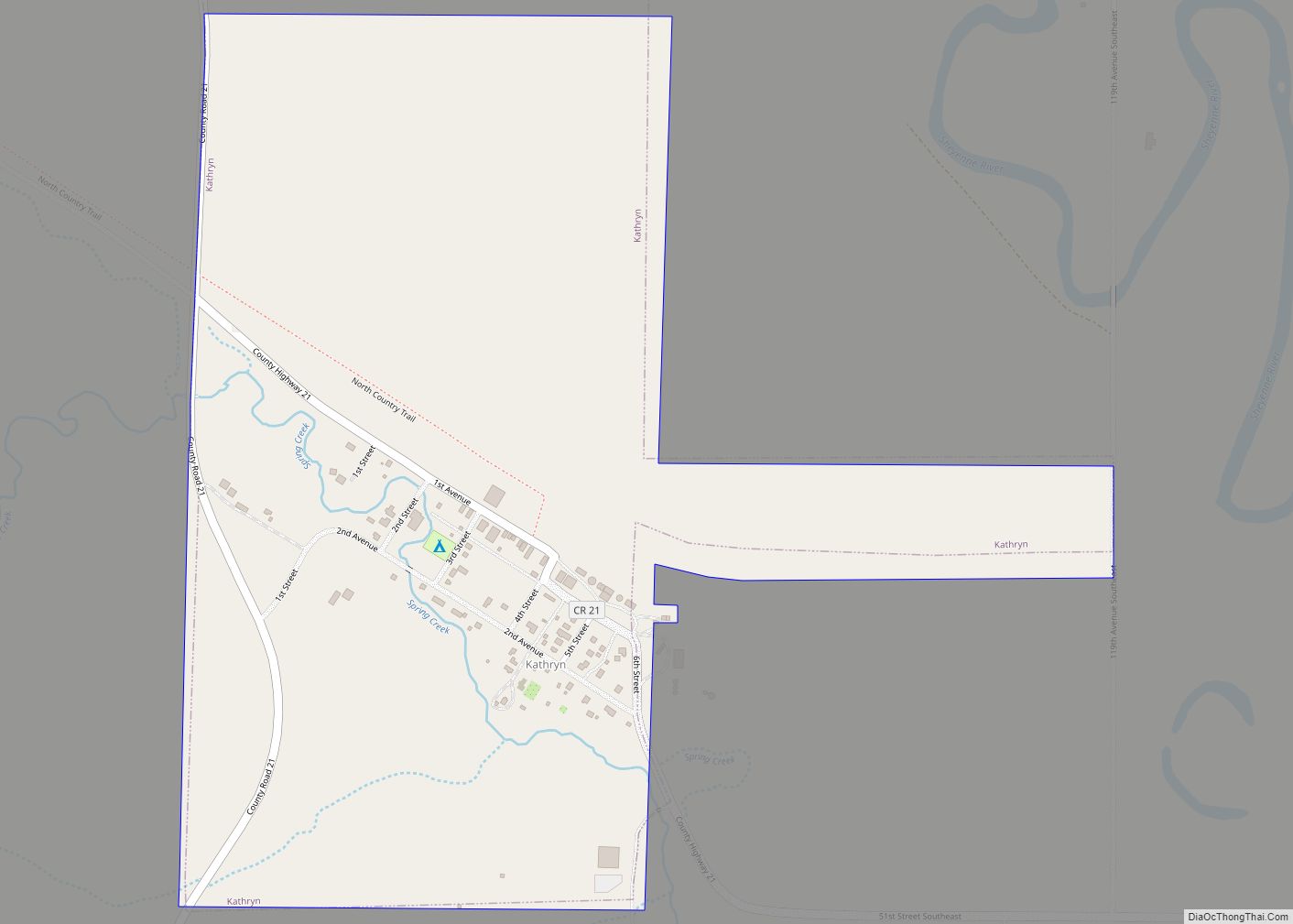
Kathryn is a city in Barnes County, North Dakota, United States. The population was 66 at the 2020 census. Kathryn was founded in 1900. It was named after the daughter of a railroad man. Kathryn city overview: Name: Kathryn city LSAD Code: 25 LSAD Description: city (suffix) State: North Dakota County: Barnes County Founded: 1900 ... Read more
North Dakota Cities and Places
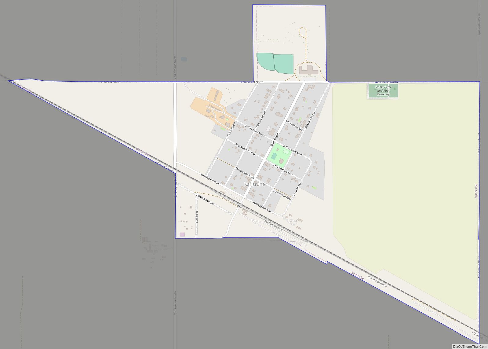
Karlsruhe (/ˈkɑːrlsruː/ KARLSS-roo) is a city in McHenry County, North Dakota, United States. The population was 87 at the 2020 census. Karlsruhe was founded in 1912. Old Saints Peter and Paul Cemetery, Wrought-Iron Cross Site, in or near Karlsruhe, is listed on the National Register of Historic Places. Sts. Peter and Paul Catholic Church in ... Read more
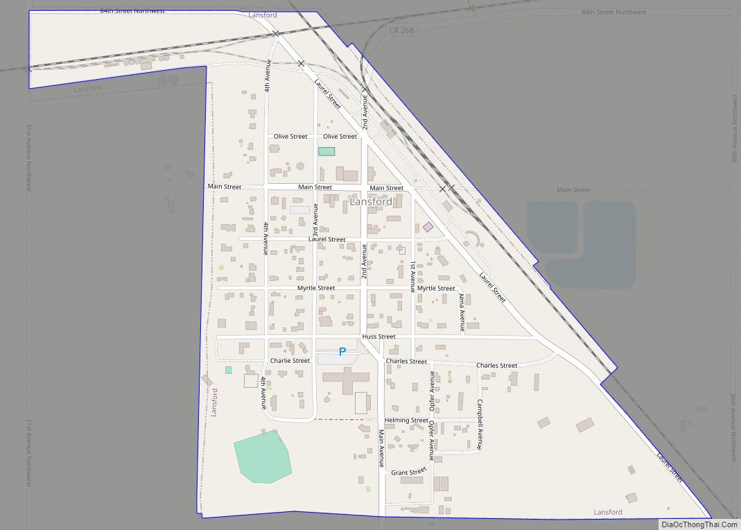
Lansford is a city in Bottineau County, North Dakota, United States. The population was 238 at the 2020 census. Lansford was founded in 1903. Lansford city overview: Name: Lansford city LSAD Code: 25 LSAD Description: city (suffix) State: North Dakota County: Bottineau County Founded: 1903 Elevation: 1,614 ft (492 m) Total Area: 0.35 sq mi (0.91 km²) Land Area: 0.35 sq mi ... Read more
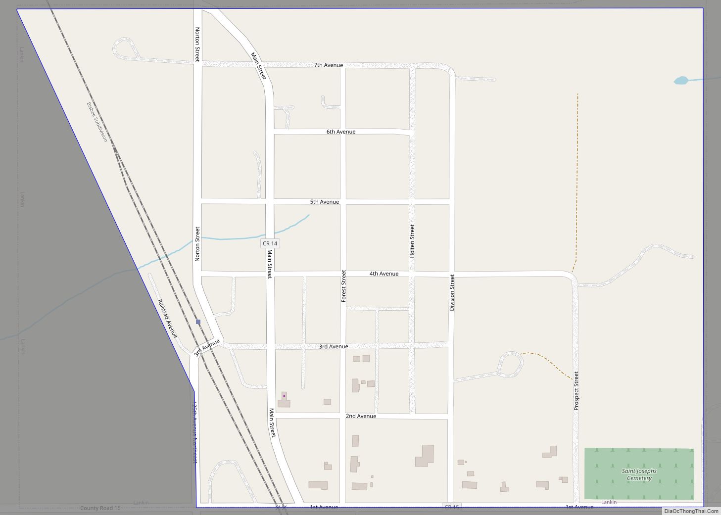
Lankin is a city in Walsh County, North Dakota, United States. The population was 102 at the 2020 census. Lankin was founded in 1905. Lankin city overview: Name: Lankin city LSAD Code: 25 LSAD Description: city (suffix) State: North Dakota County: Walsh County Founded: 1905 Elevation: 1,352 ft (412 m) Total Area: 0.29 sq mi (0.74 km²) Land Area: 0.29 sq mi ... Read more
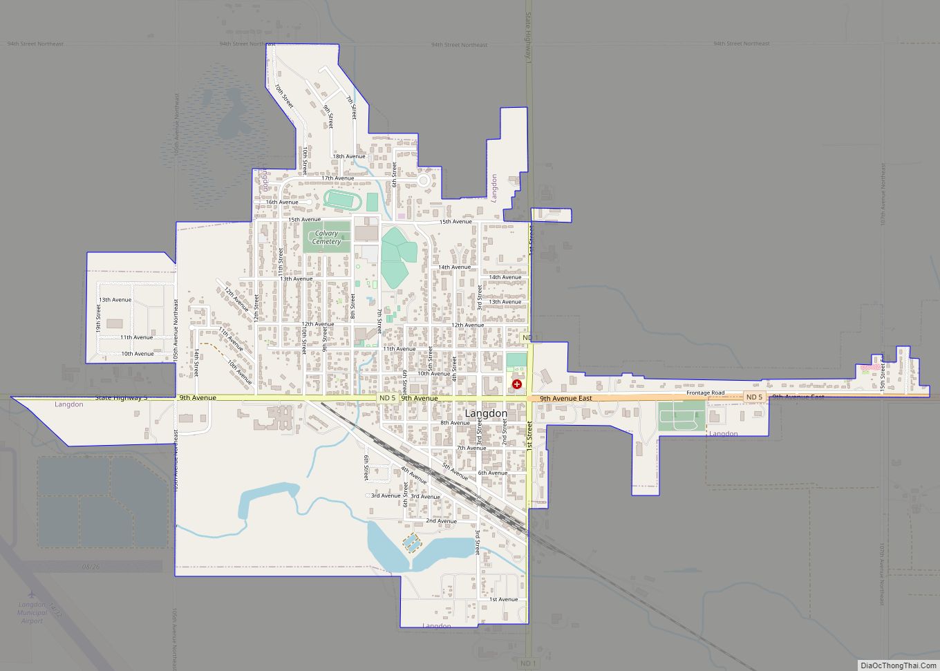
Langdon is a city in Cavalier County, North Dakota, United States. It is the county seat of Cavalier County. The population was 1,909 at the 2020 census. Langdon was designated as the county seat in 1884 and was incorporated in 1885. Langdon city overview: Name: Langdon city LSAD Code: 25 LSAD Description: city (suffix) State: ... Read more
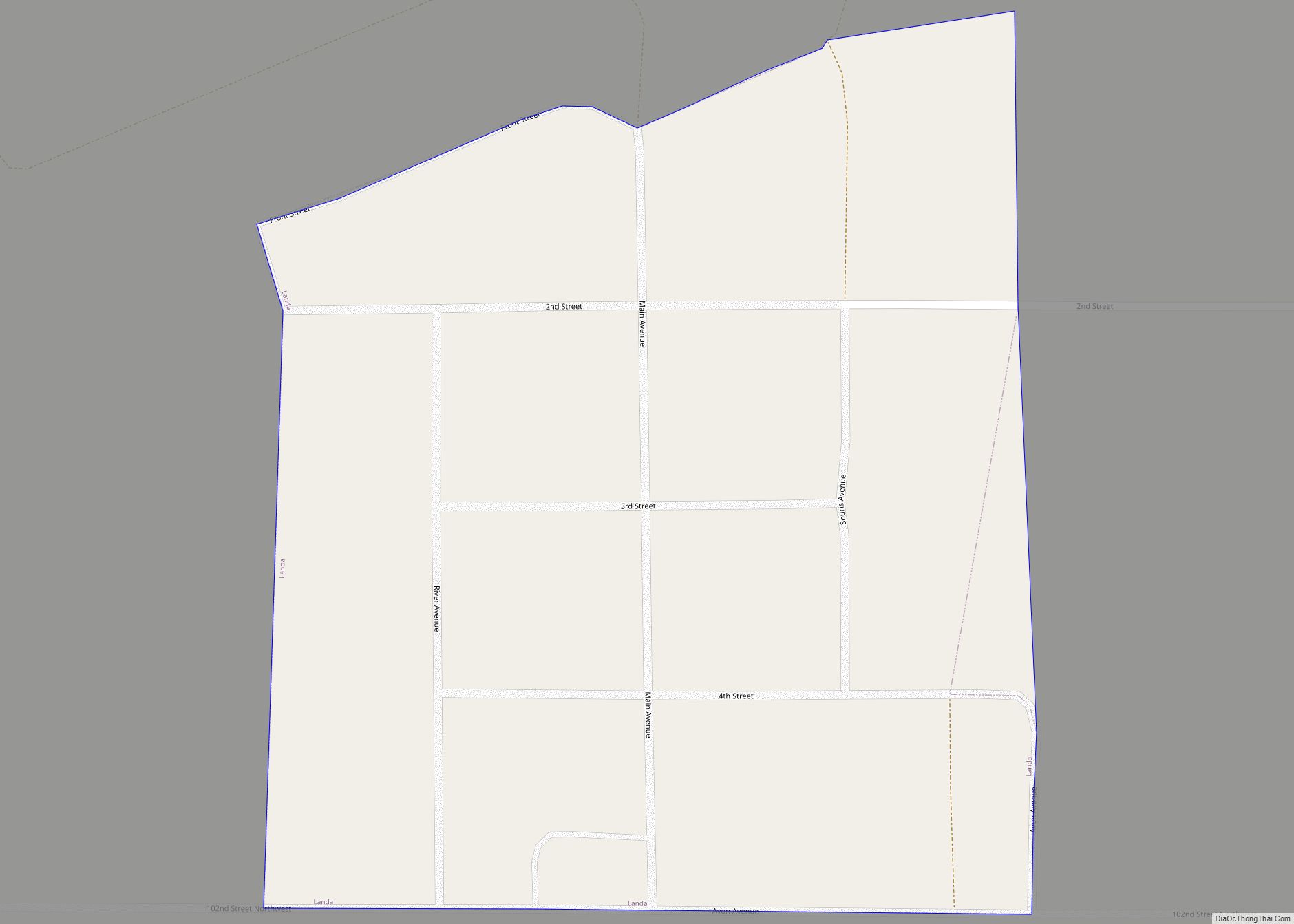
Landa is a city in Bottineau County, North Dakota, United States. The population was 41 at the 2020 census. Landa was founded in 1904. Landa city overview: Name: Landa city LSAD Code: 25 LSAD Description: city (suffix) State: North Dakota County: Bottineau County Founded: 1904 Elevation: 1,483 ft (452 m) Total Area: 0.08 sq mi (0.20 km²) Land Area: 0.08 sq mi ... Read more
LaMoure is a city in LaMoure County, North Dakota, United States. The population was 764 at the 2020 census. It is the county seat of LaMoure County. LaMoure was founded in 1882 and was named after Judson LaMoure, a territorial legislator (LaMoure County and the cities of Jud and Judson are also named after him). ... Read more
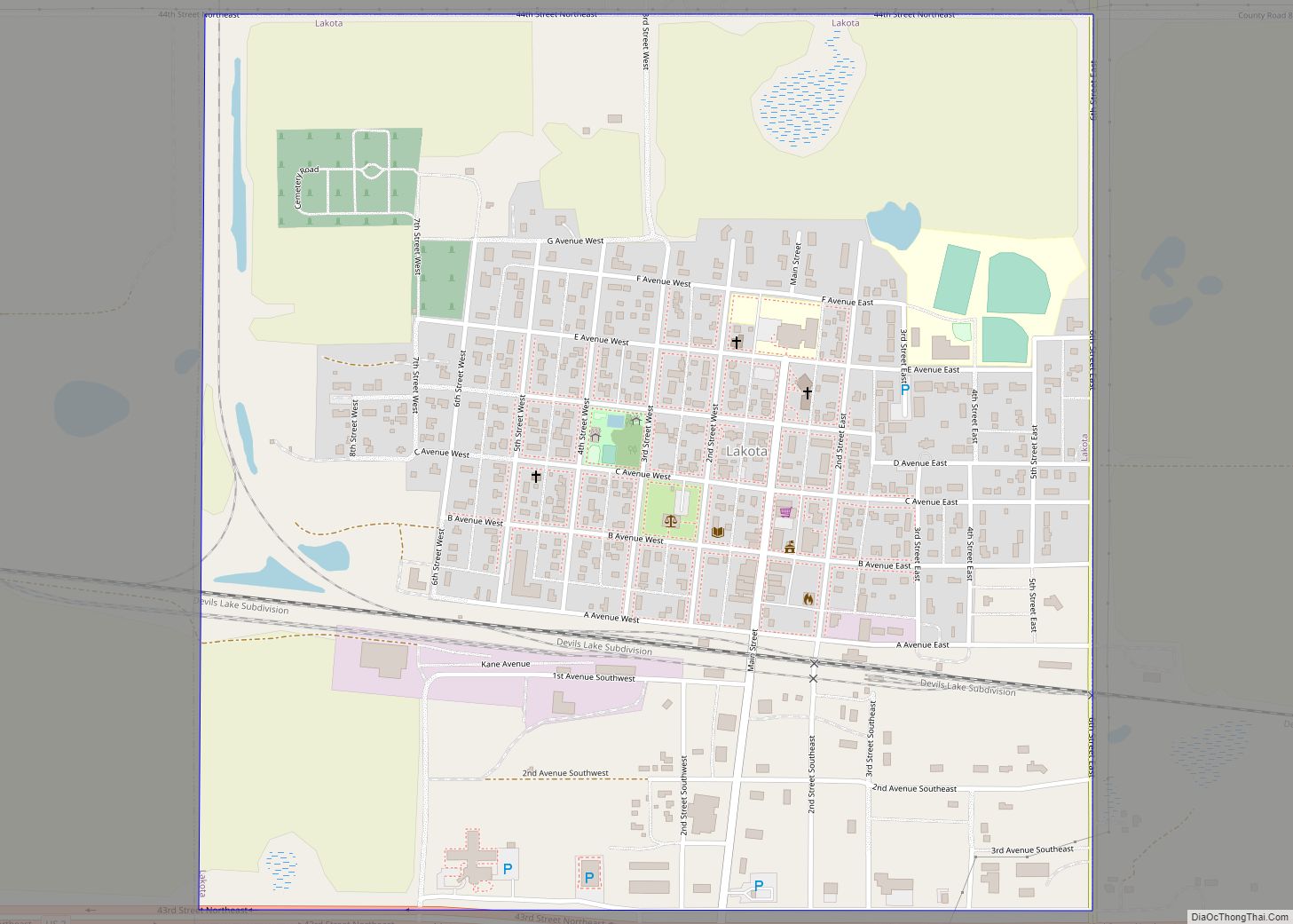
Lakota is a city in Nelson County, North Dakota, United States. It is the county seat of Nelson County Lakota is located 63 miles west of Grand Forks and 27 miles east of Devils Lake. The population was 683 at the 2020 census, making Lakota the 76th-largest city in North Dakota. Lakota city overview: Name: ... Read more
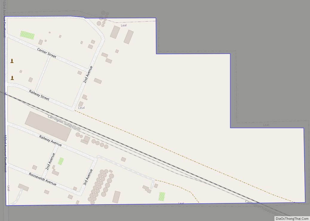
Leal is a city in Barnes County in the state of North Dakota. The population was 27 at the 2020 census. Leal was founded in 1892. The name comes from the Scots word for “faithful,” which in the phrase laund o the leal means Heaven. Leal city overview: Name: Leal city LSAD Code: 25 LSAD ... Read more
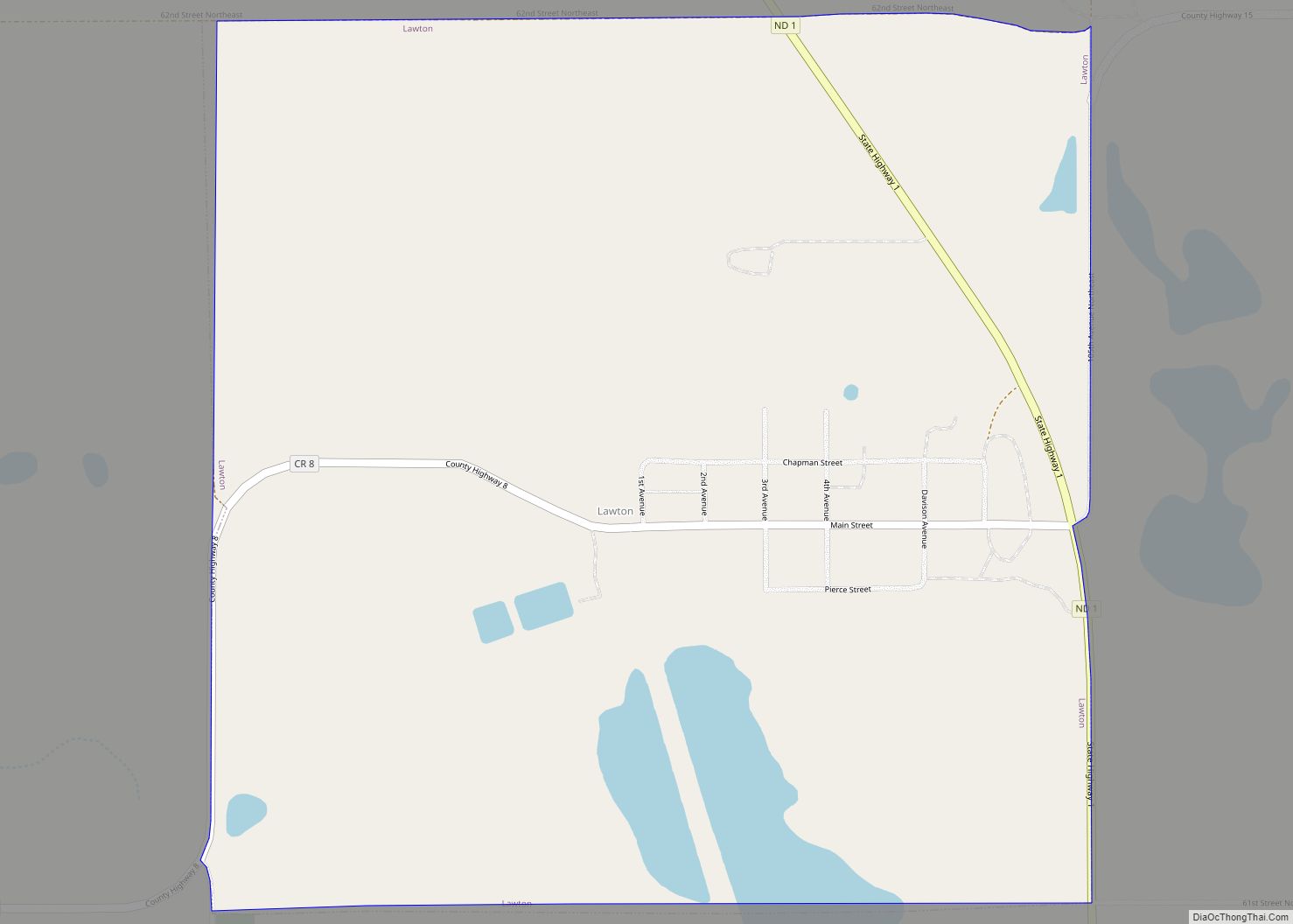
Lawton is a city in Ramsey County, North Dakota, United States. The population was 15 at the 2020 census. Lawton was founded in 1902. Lawton city overview: Name: Lawton city LSAD Code: 25 LSAD Description: city (suffix) State: North Dakota County: Ramsey County Founded: 1902 Elevation: 1,516 ft (462 m) Total Area: 0.99 sq mi (2.56 km²) Land Area: 0.91 sq mi ... Read more
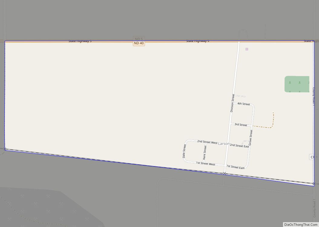
Larson is a former city and current census-designated place in Burke County, North Dakota, United States. The population was 12 at the 2010 census. Larson was founded in 1907. Both this town and nearby Columbus were named for Columbus Larson, an early postmaster who served the area. The city government of Larson was dissolved in ... Read more
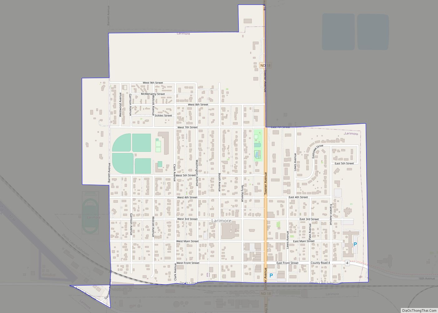
Larimore is a city in Grand Forks County, North Dakota, United States. It is located three miles south of the junction of U.S. Route 2 and North Dakota Highway 18. Larimore is part of the “Grand Forks, ND–MN Metropolitan Statistical Area” or “Greater Grand Forks”. The population was 1,260 at the 2020 census. Larimore was ... Read more
