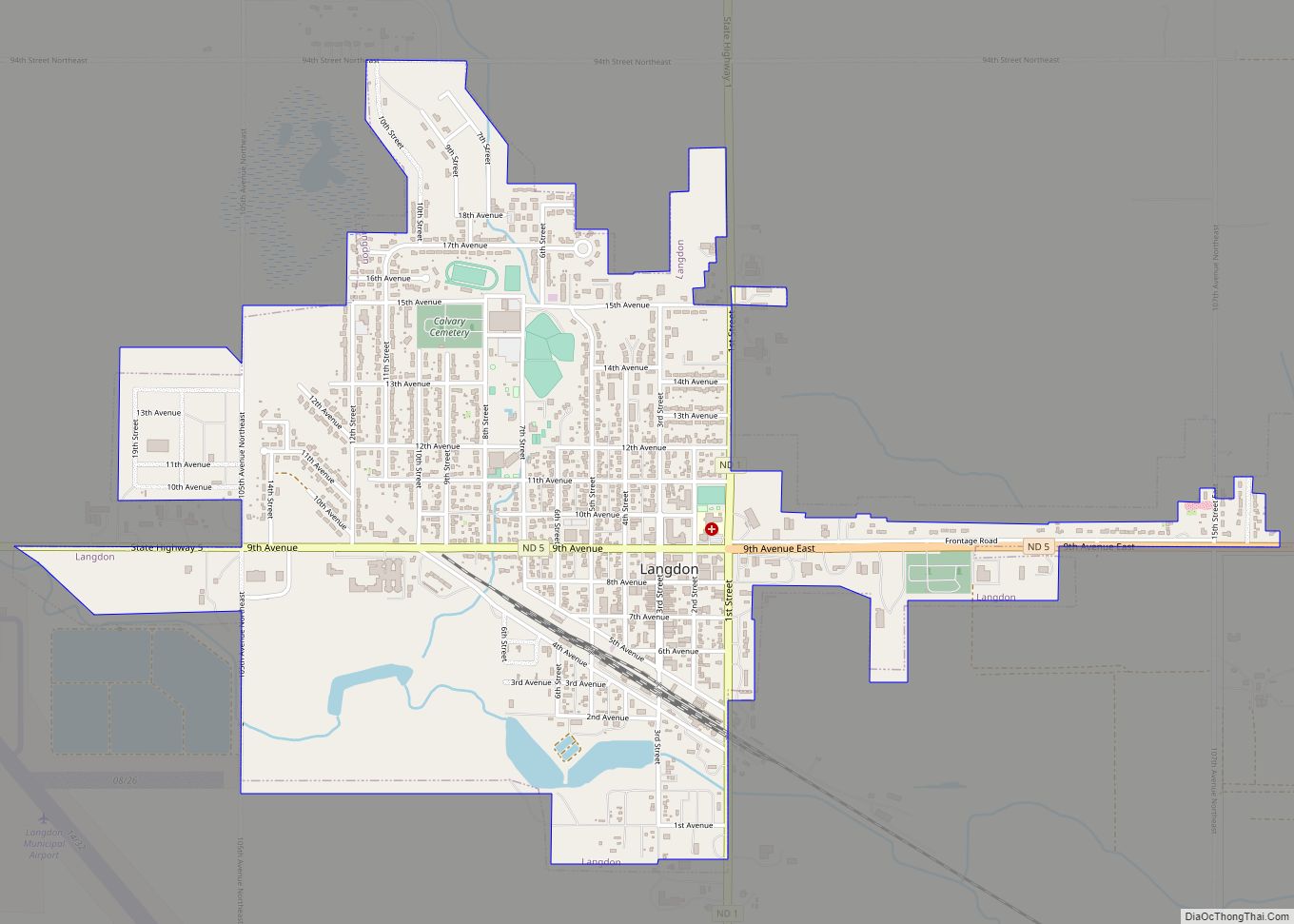
Langdon is a city in Cavalier County, North Dakota, United States. It is the county seat of Cavalier County. The population was 1,909 at the 2020 census. Langdon was designated as the county seat in 1884 and was incorporated in 1885.
| Name: | Langdon city |
|---|---|
| LSAD Code: | 25 |
| LSAD Description: | city (suffix) |
| State: | North Dakota |
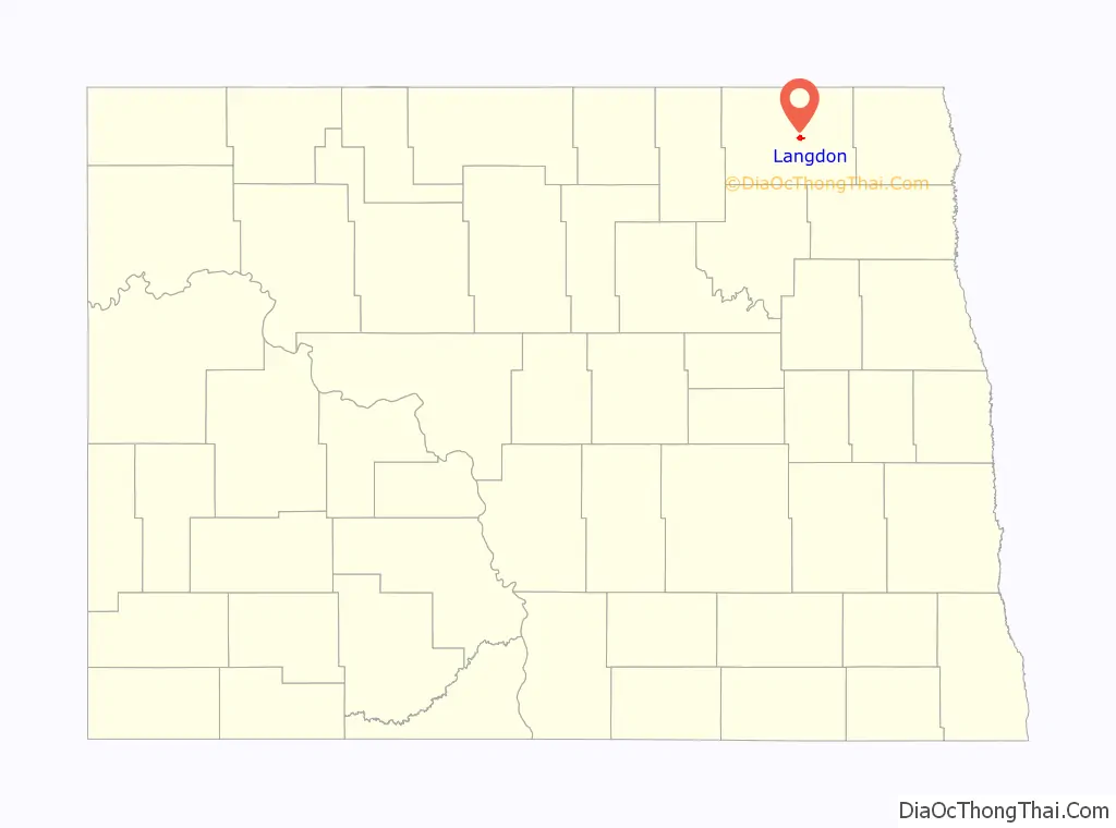
| County: | Cavalier County |
| Elevation: | 1,611 ft (491 m) |
| Total Area: | 1.58 sq mi (4.09 km²) |
| Land Area: | 1.55 sq mi (4.01 km²) |
| Water Area: | 0.03 sq mi (0.08 km²) |
| Total Population: | 1,909 |
| Population Density: | 1,234.00/sq mi (476.45/km²) |
| ZIP code: | 58249 |
| Area code: | 701 |
| FIPS code: | 3844780 |
| GNISfeature ID: | 1029827 |
| Website: | cityoflangdon.com |
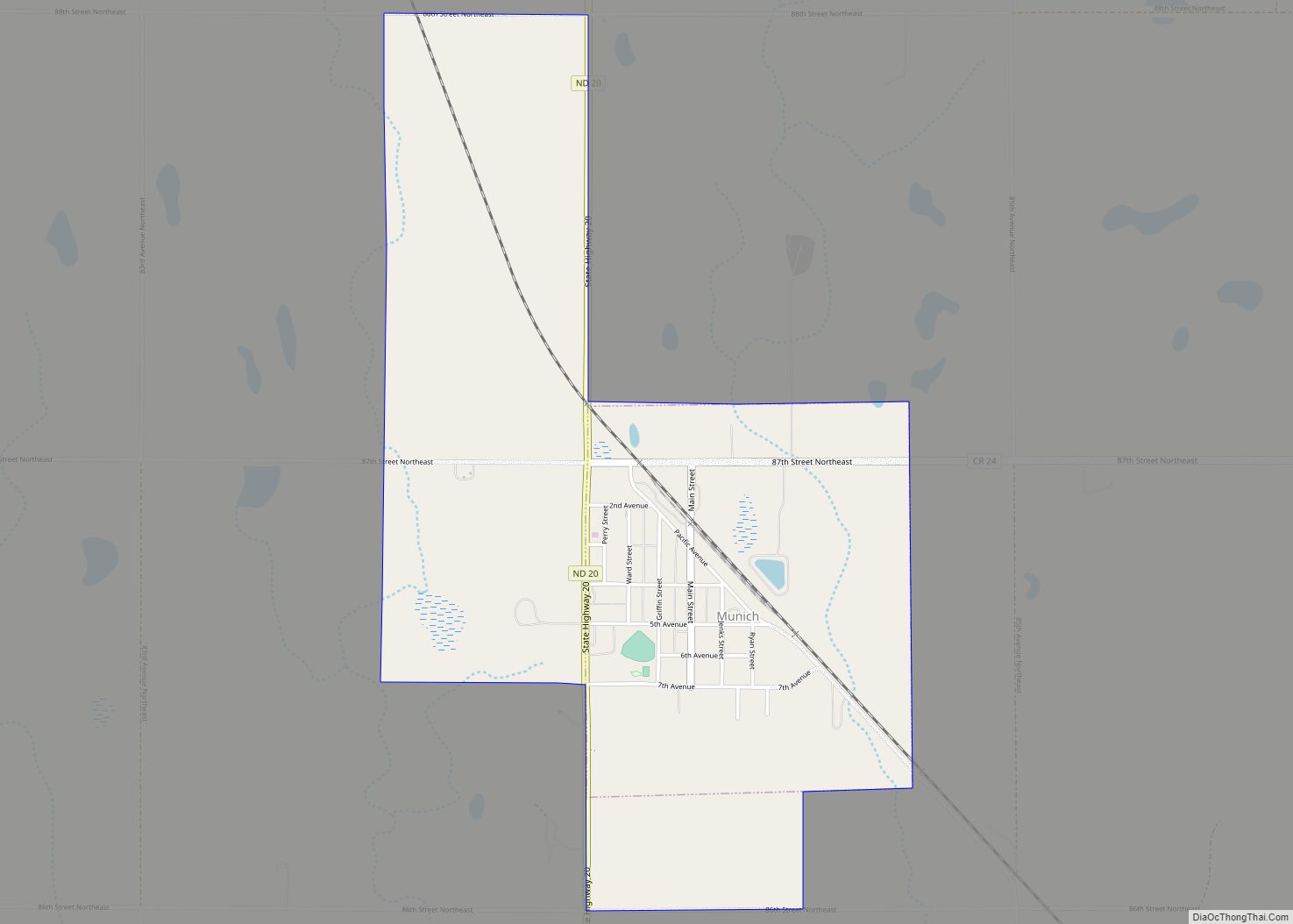
Online Interactive Map
Click on ![]() to view map in "full screen" mode.
to view map in "full screen" mode.
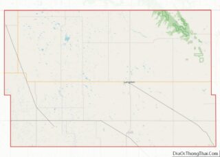
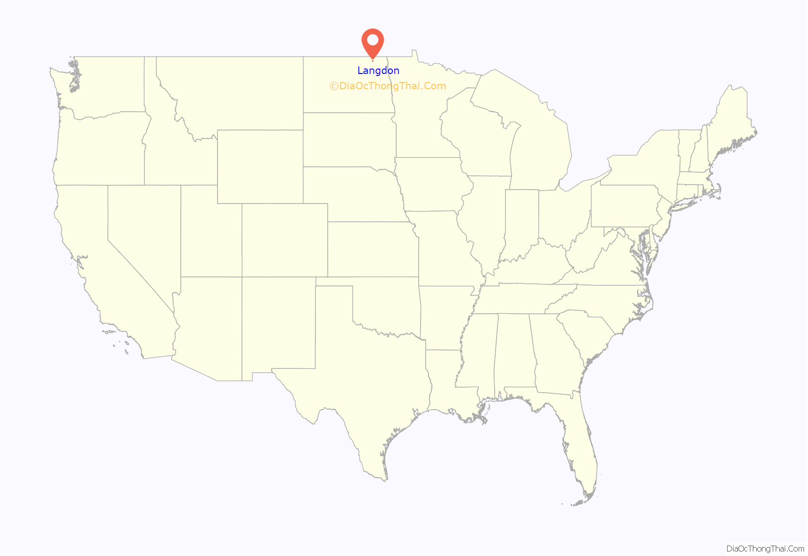
Langdon location map. Where is Langdon city?
History
A post office has been in operation in Langdon since 1886. The city was named for Robert Bruce Langdon, a politician and railroad official.
On Memorial Day (then called Decoration Day) 1909, a tornado struck on the prairie a mile to a mile and a half southeast of Langdon, then moved seven miles in a northwest direction. The tornado, locally dubbed The Vulcan, killed five people and injured 29. Notably, Mrs. M.L. Sullivan ran for safety but the tornado hit as she arrived at her cellar door. When the winds subsided, she was standing in the cellar with its broken doorknob in her hand. Katie Diamond was lifted above treetops and telephone poles, and then dropped in a yard, virtually unscathed. The tornado destroyed many barns, two elevators, the Great Northern water tank and several feet of railroad track.
In the winter of 1935–36 Langdon recorded 75 consecutive days with a high temperature below 32 °F or 0 °C, and 32 consecutive days with a high temperature colder than −20 °F or −28.9 °C.
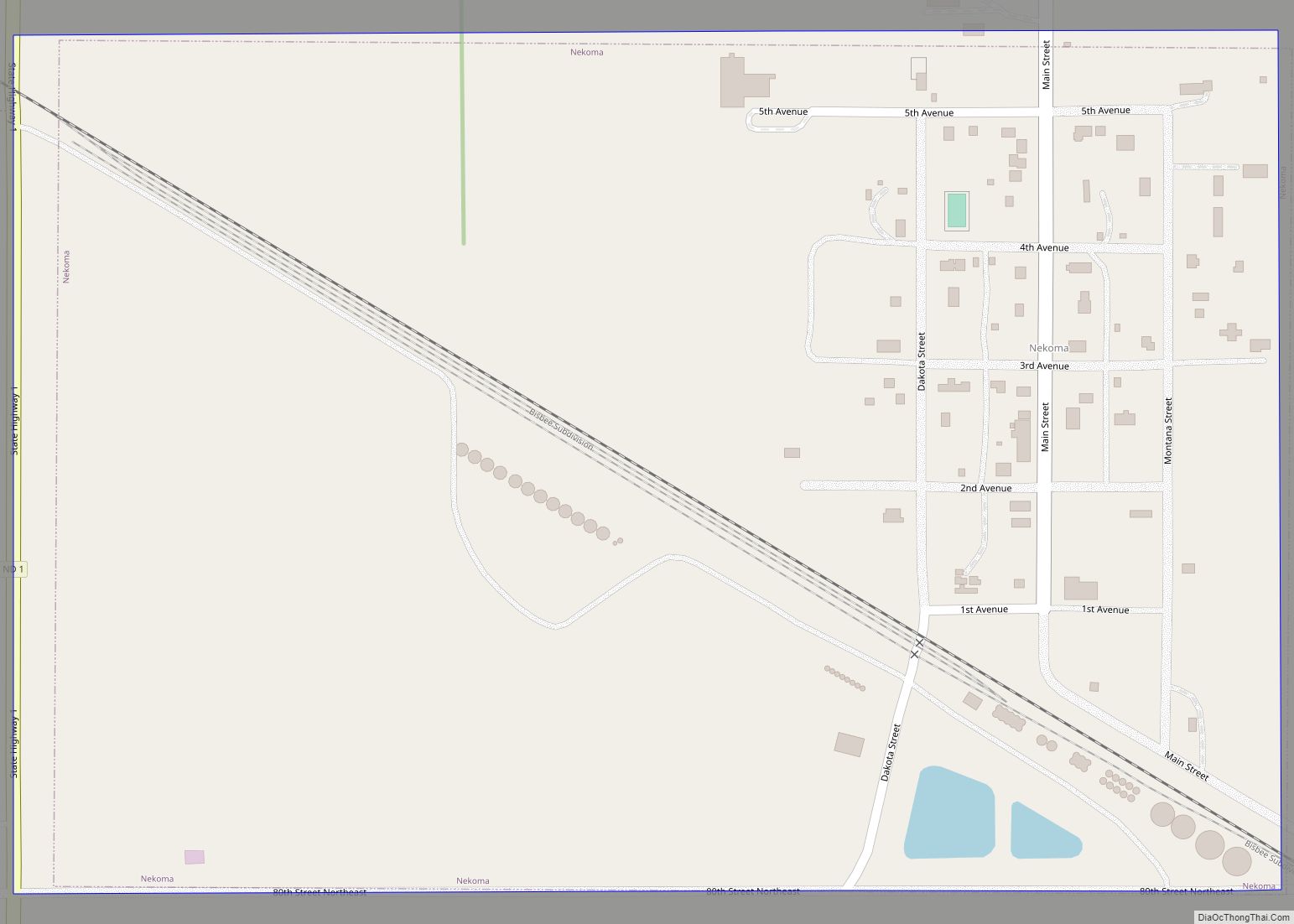
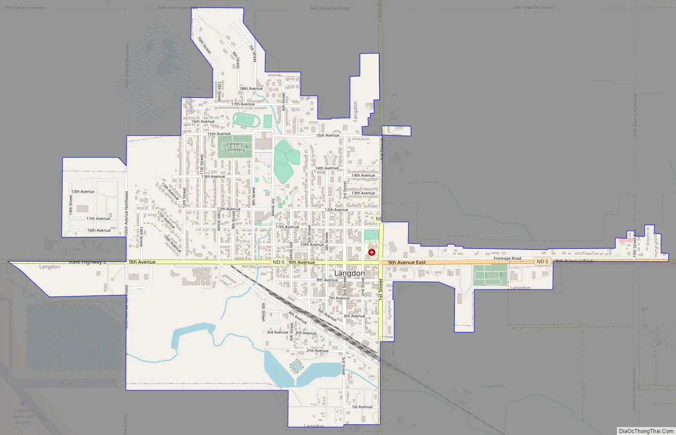
Langdon Road Map
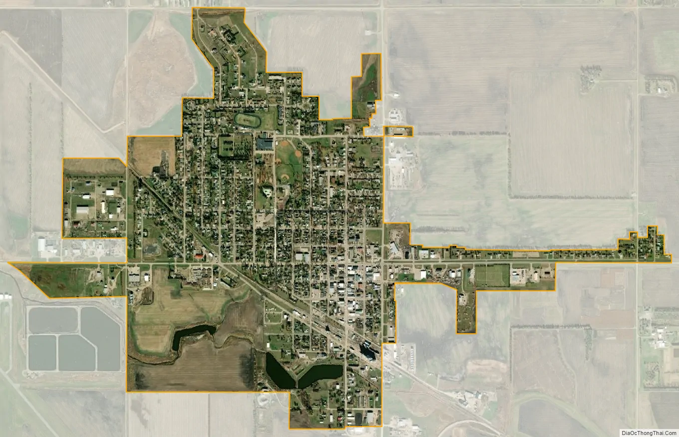
Langdon city Satellite Map
Geography
Langdon is located at 48°45′42″N 98°22′18″W / 48.76167°N 98.37167°W / 48.76167; -98.37167 (48.761696, −98.371780).
According to the United States Census Bureau, the city has a total area of 1.68 square miles (4.35 km), of which 1.65 square miles (4.27 km) is land and 0.03 square miles (0.08 km) is water.
See also
Map of North Dakota State and its subdivision:- Adams
- Barnes
- Benson
- Billings
- Bottineau
- Bowman
- Burke
- Burleigh
- Cass
- Cavalier
- Dickey
- Divide
- Dunn
- Eddy
- Emmons
- Foster
- Golden Valley
- Grand Forks
- Grant
- Griggs
- Hettinger
- Kidder
- Lamoure
- Logan
- McHenry
- McIntosh
- McKenzie
- McLean
- Mercer
- Morton
- Mountrail
- Nelson
- Oliver
- Pembina
- Pierce
- Ramsey
- Ransom
- Renville
- Richland
- Rolette
- Sargent
- Sheridan
- Sioux
- Slope
- Stark
- Steele
- Stutsman
- Towner
- Traill
- Walsh
- Ward
- Wells
- Williams
- Alabama
- Alaska
- Arizona
- Arkansas
- California
- Colorado
- Connecticut
- Delaware
- District of Columbia
- Florida
- Georgia
- Hawaii
- Idaho
- Illinois
- Indiana
- Iowa
- Kansas
- Kentucky
- Louisiana
- Maine
- Maryland
- Massachusetts
- Michigan
- Minnesota
- Mississippi
- Missouri
- Montana
- Nebraska
- Nevada
- New Hampshire
- New Jersey
- New Mexico
- New York
- North Carolina
- North Dakota
- Ohio
- Oklahoma
- Oregon
- Pennsylvania
- Rhode Island
- South Carolina
- South Dakota
- Tennessee
- Texas
- Utah
- Vermont
- Virginia
- Washington
- West Virginia
- Wisconsin
- Wyoming