Lakota is a city in Nelson County, North Dakota, United States. It is the county seat of Nelson County Lakota is located 63 miles west of Grand Forks and 27 miles east of Devils Lake. The population was 683 at the 2020 census, making Lakota the 76th-largest city in North Dakota.
| Name: | Lakota city |
|---|---|
| LSAD Code: | 25 |
| LSAD Description: | city (suffix) |
| State: | North Dakota |
| County: | Nelson County |
| Founded: | 1883 |
| Elevation: | 1,516 ft (462 m) |
| Total Area: | 1.00 sq mi (2.59 km²) |
| Land Area: | 1.00 sq mi (2.59 km²) |
| Water Area: | 0.00 sq mi (0.00 km²) |
| Total Population: | 683 |
| Population Density: | 683.68/sq mi (264.00/km²) |
| ZIP code: | 58344 |
| Area code: | 701 |
| FIPS code: | 3844300 |
| GNISfeature ID: | 1029820 |
| Website: | lakota-nd.com |
Online Interactive Map
Click on ![]() to view map in "full screen" mode.
to view map in "full screen" mode.
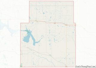
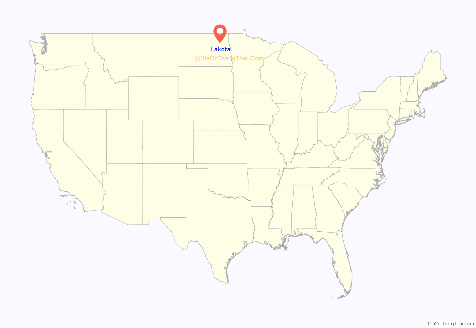
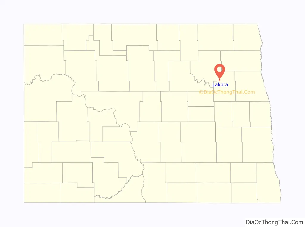
Lakota location map. Where is Lakota city?
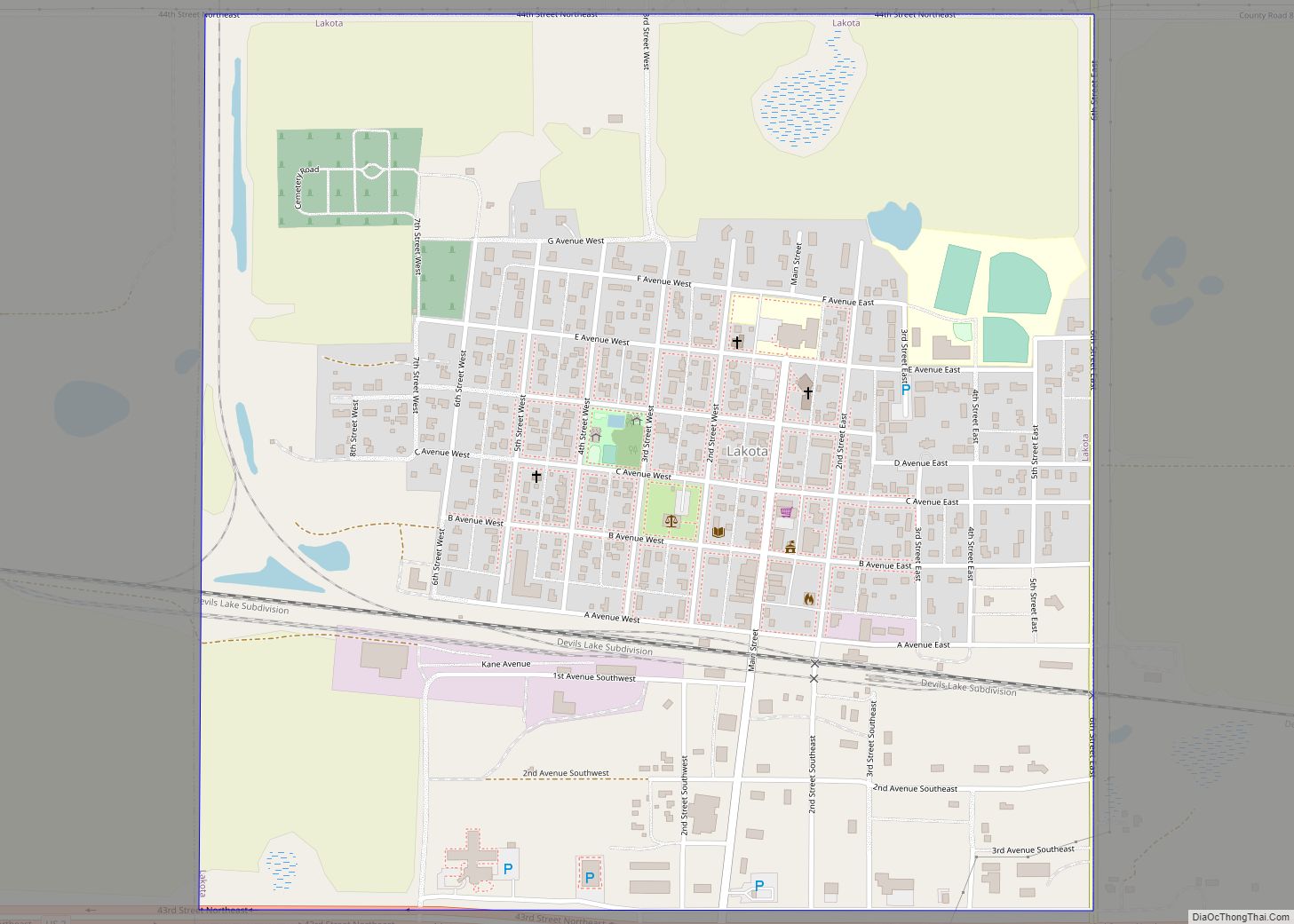
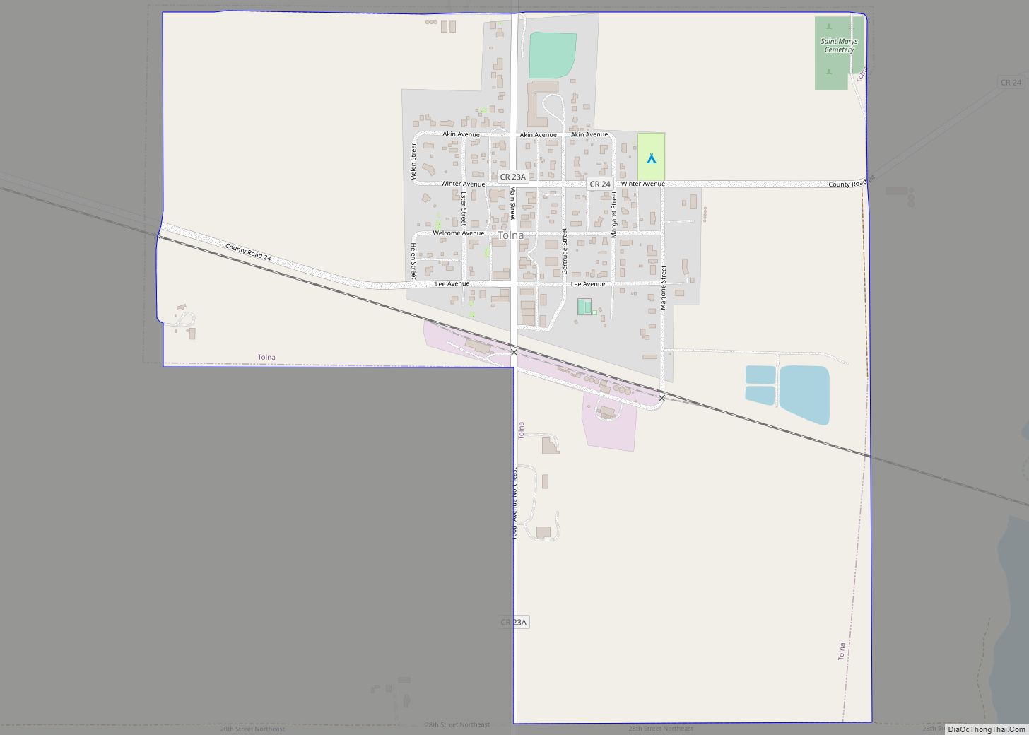
Lakota Road Map

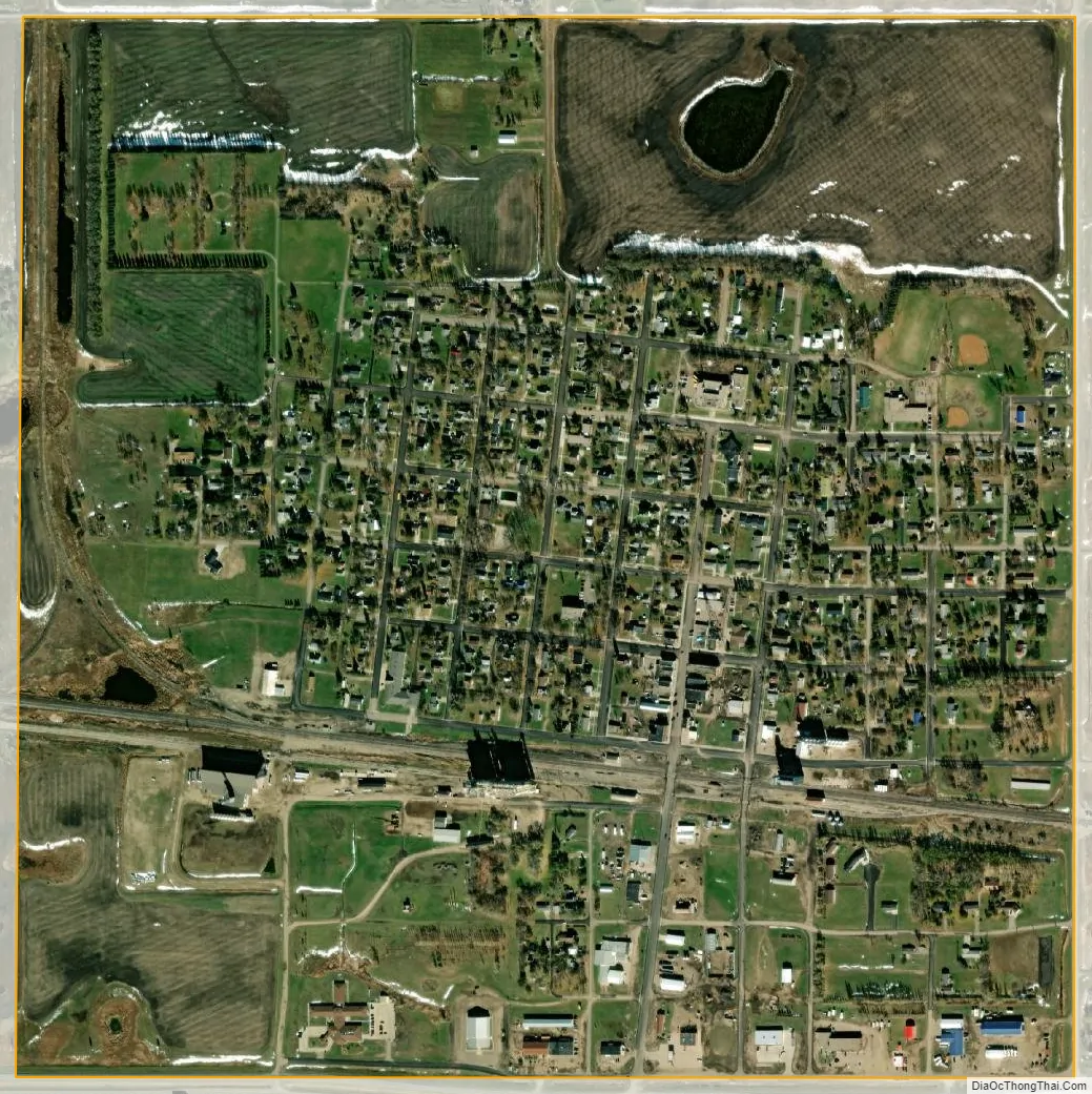
Lakota city Satellite Map
Geography
According to the United States Census Bureau, the city has a total area of 1.032 square miles, all land.
Like the rest of North Dakota, Lakota has a continental climate. Lakota’s lowest average temperature is -18 degrees Celsius/0 degrees Fahrenheit (in January); its highest average temperature is 26 degrees Celsius/79 degrees Fahrenheit (through July and August).
See also
Map of North Dakota State and its subdivision:- Adams
- Barnes
- Benson
- Billings
- Bottineau
- Bowman
- Burke
- Burleigh
- Cass
- Cavalier
- Dickey
- Divide
- Dunn
- Eddy
- Emmons
- Foster
- Golden Valley
- Grand Forks
- Grant
- Griggs
- Hettinger
- Kidder
- Lamoure
- Logan
- McHenry
- McIntosh
- McKenzie
- McLean
- Mercer
- Morton
- Mountrail
- Nelson
- Oliver
- Pembina
- Pierce
- Ramsey
- Ransom
- Renville
- Richland
- Rolette
- Sargent
- Sheridan
- Sioux
- Slope
- Stark
- Steele
- Stutsman
- Towner
- Traill
- Walsh
- Ward
- Wells
- Williams
- Alabama
- Alaska
- Arizona
- Arkansas
- California
- Colorado
- Connecticut
- Delaware
- District of Columbia
- Florida
- Georgia
- Hawaii
- Idaho
- Illinois
- Indiana
- Iowa
- Kansas
- Kentucky
- Louisiana
- Maine
- Maryland
- Massachusetts
- Michigan
- Minnesota
- Mississippi
- Missouri
- Montana
- Nebraska
- Nevada
- New Hampshire
- New Jersey
- New Mexico
- New York
- North Carolina
- North Dakota
- Ohio
- Oklahoma
- Oregon
- Pennsylvania
- Rhode Island
- South Carolina
- South Dakota
- Tennessee
- Texas
- Utah
- Vermont
- Virginia
- Washington
- West Virginia
- Wisconsin
- Wyoming