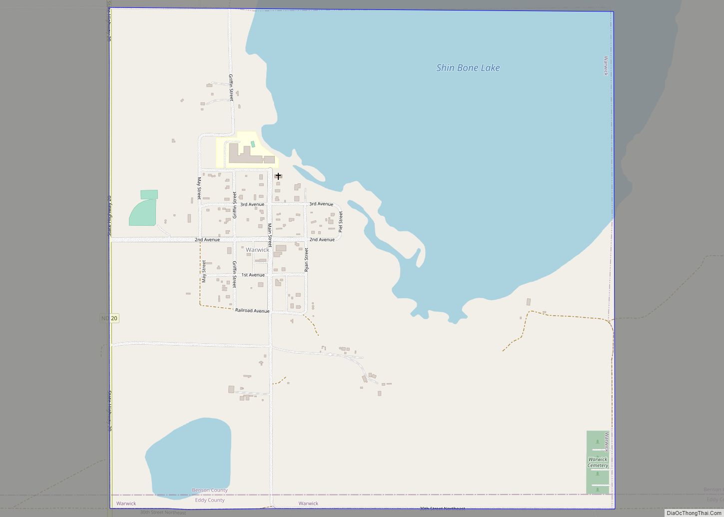
Warwick is a city in Benson County, North Dakota, United States. The population was 55 at the 2020 census. Warwick was founded in 1907. Warwick city overview: Name: Warwick city LSAD Code: 25 LSAD Description: city (suffix) State: North Dakota County: Benson County Founded: 1907 Elevation: 1,476 ft (450 m) Total Area: 1.00 sq mi (2.60 km²) Land Area: 0.65 sq mi ... Read more
North Dakota Cities and Places
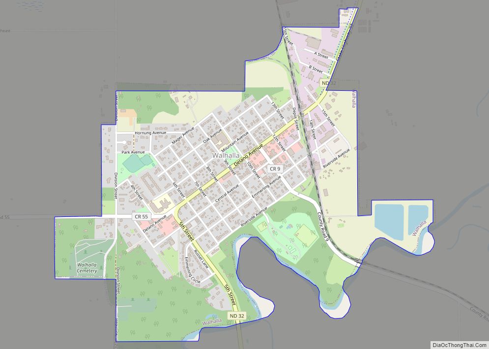
Walhalla is a city in Pembina County, North Dakota, United States. It sits on the banks of the Pembina River, five miles (8 km) from the border with Manitoba (Canada) and approximately 45 mi (72 km) from the border with Minnesota. The population was 893 at the 2020 census. Walhalla city overview: Name: Walhalla city LSAD Code: ... Read more
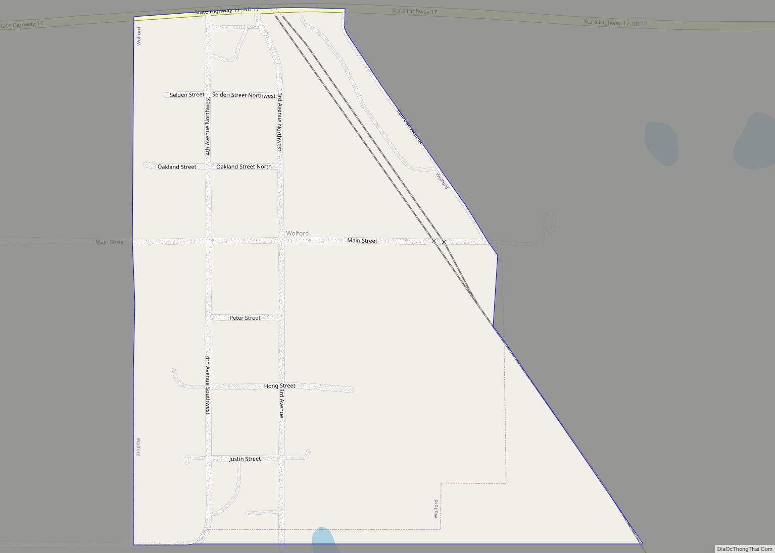
Wolford is a city in Pierce County, North Dakota, United States. The population was 43 at the 2020 census. Wolford was founded in 1905. Wolford city overview: Name: Wolford city LSAD Code: 25 LSAD Description: city (suffix) State: North Dakota County: Pierce County Founded: 1905 Elevation: 1,624 ft (495 m) Total Area: 0.18 sq mi (0.47 km²) Land Area: 0.18 sq mi ... Read more
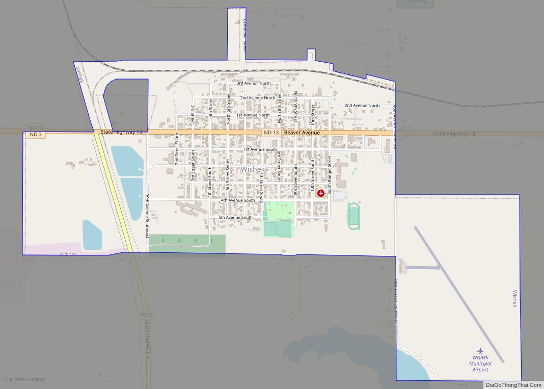
Wishek (/ˈwɪʃɪk/ WISH-ik) is a city in McIntosh County, North Dakota, United States. The population was 864 at the 2020 census. Wishek city overview: Name: Wishek city LSAD Code: 25 LSAD Description: city (suffix) State: North Dakota County: McIntosh County Founded: 1898 Elevation: 2,034 ft (620 m) Total Area: 1.44 sq mi (3.74 km²) Land Area: 1.44 sq mi (3.72 km²) Water Area: ... Read more
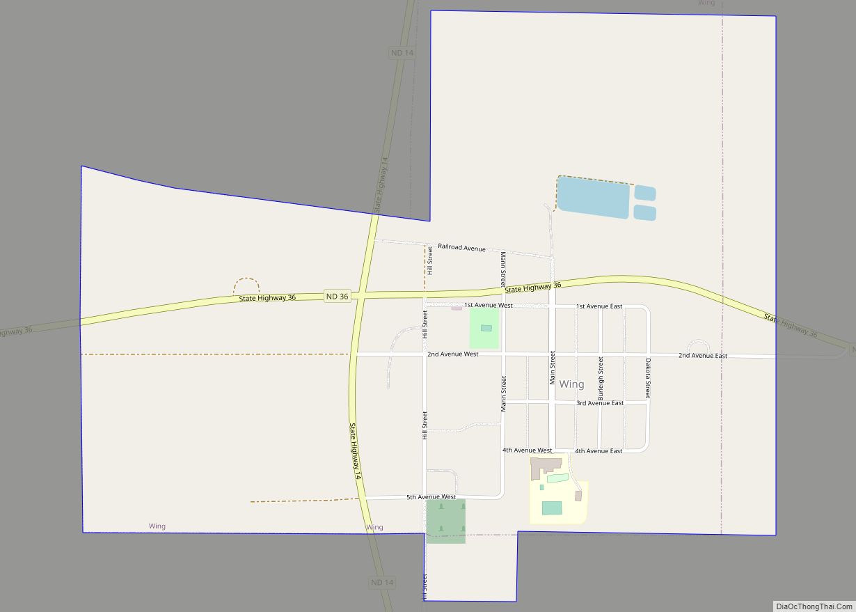
Wing is a rural small town in Burleigh County, North Dakota, United States. It is part of the “Bismarck, ND Metropolitan Statistical Area” or “Bismarck-Mandan”. The population was 132 at the 2020 census. As of 2010, the town has a post office, a full service station, a bar, a restaurant, a small (10-unit) apartment complex, ... Read more
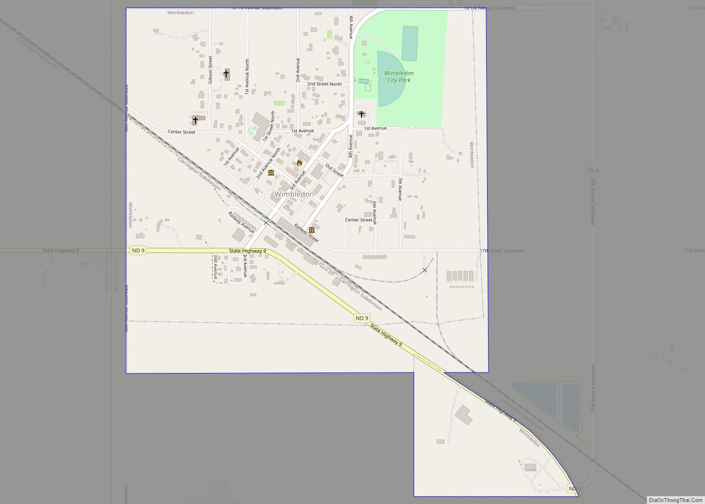
Wimbledon is a city in Pierce Township, Barnes County, North Dakota, United States. The population was 178 at the 2020 census. Wimbledon city overview: Name: Wimbledon city LSAD Code: 25 LSAD Description: city (suffix) State: North Dakota County: Barnes County Founded: 1892 Elevation: 1,490 ft (454 m) Total Area: 0.62 sq mi (1.61 km²) Land Area: 0.62 sq mi (1.61 km²) Water Area: ... Read more
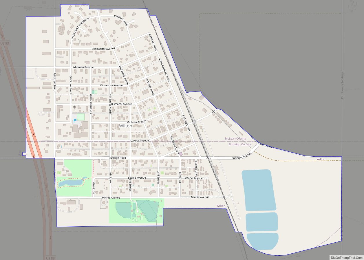
Wilton is a city in Burleigh and McLean counties in North Dakota, United States. It is part of the “Bismarck, ND Metropolitan Statistical Area” or “Bismarck-Mandan”. The population was 718 at the 2020 census. Founded in 1899, Wilton was named by General W. D. Washburn after the town of Wilton in his native state of ... Read more
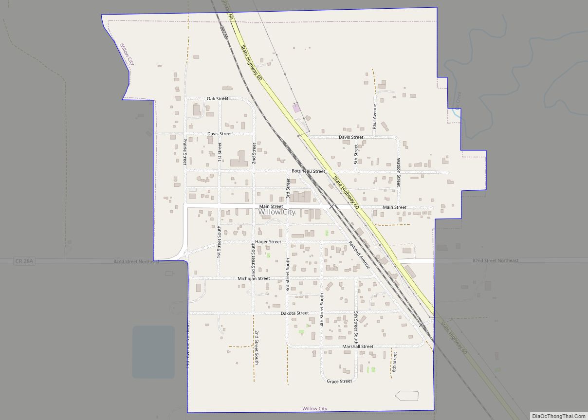
Willow City is a city in Bottineau County, North Dakota, United States. The population was 149 at the 2020 census. Willow City was founded in 1887. Willow City city overview: Name: Willow City city LSAD Code: 25 LSAD Description: city (suffix) State: North Dakota County: Bottineau County Founded: 1887 Elevation: 1,470 ft (448 m) Total Area: 0.47 sq mi ... Read more
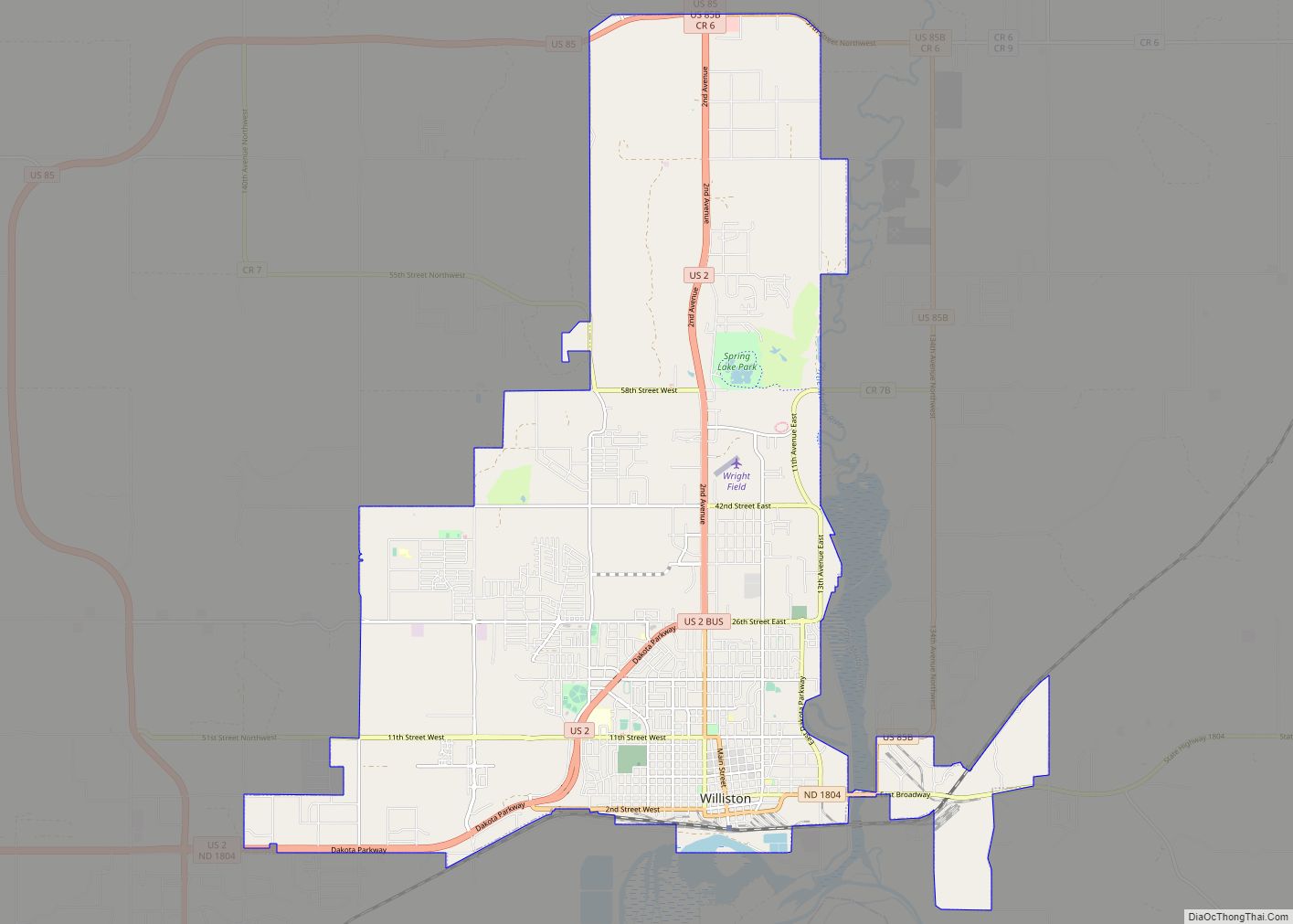
Williston is a city in and the county seat of Williams County, North Dakota, United States. The 2020 census gave its population as 29,160, making Williston the sixth-largest city in North Dakota. The city’s population nearly doubled between 2010 and 2020, due largely to the North Dakota oil boom. Williston’s newspaper is the daily Williston ... Read more
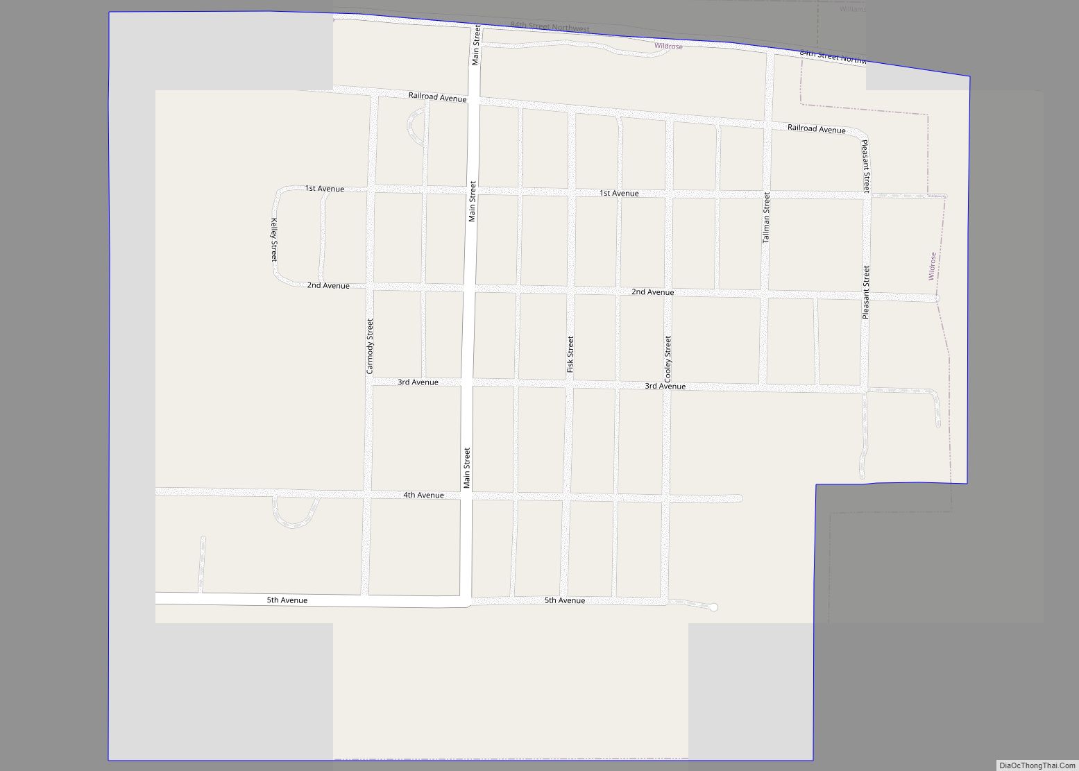
Wildrose is a city in Williams County, North Dakota, United States. The population was 115 at the 2020 census. Wildrose was founded in 1910. Wildrose city overview: Name: Wildrose city LSAD Code: 25 LSAD Description: city (suffix) State: North Dakota County: Williams County Founded: 1910 Elevation: 2,251 ft (686 m) Total Area: 0.29 sq mi (0.75 km²) Land Area: 0.29 sq mi ... Read more
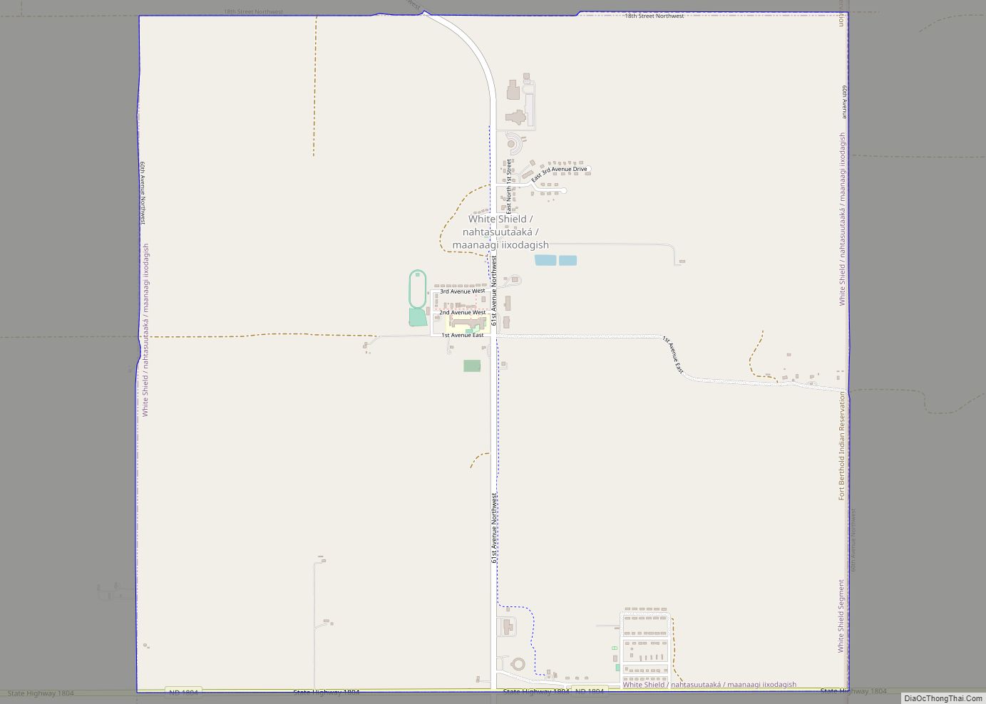
White Shield (Arikara: nahtasuutaaká, Hidatsa: maanaagi iixodagish) is a census-designated place (CDP) lying within the boundaries of the Mandan, Hidatsa, and Arikara Nation. It is located “on” the Fort Berthold Indian Reservation in McLean County, North Dakota, United States. The population was 336 at the 2010 census. It is considered the primary community of the ... Read more
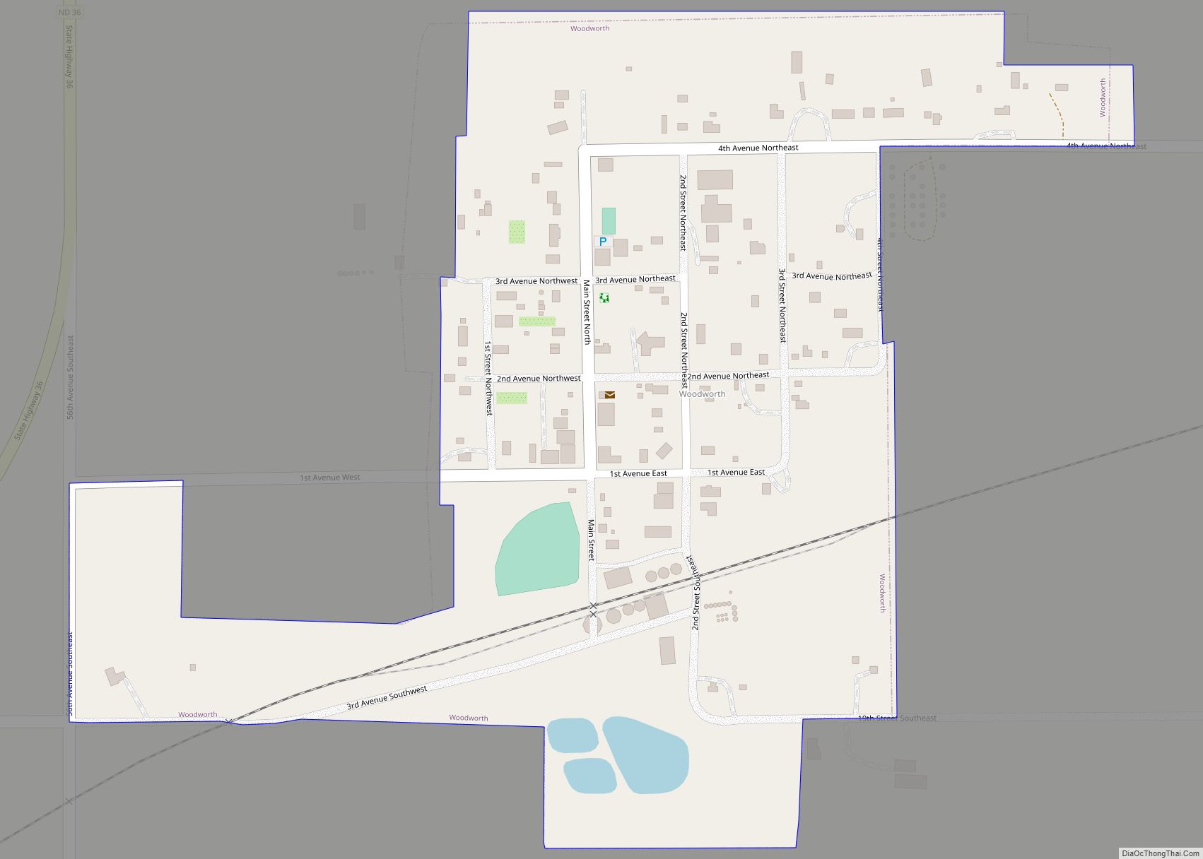
Woodworth is a city in Stutsman County, North Dakota, United States. The population was 44 at the 2020 census. Woodworth city overview: Name: Woodworth city LSAD Code: 25 LSAD Description: city (suffix) State: North Dakota County: Stutsman County Elevation: 2,031 ft (619 m) Total Area: 0.22 sq mi (0.56 km²) Land Area: 0.21 sq mi (0.55 km²) Water Area: 0.00 sq mi (0.01 km²) Total Population: ... Read more
