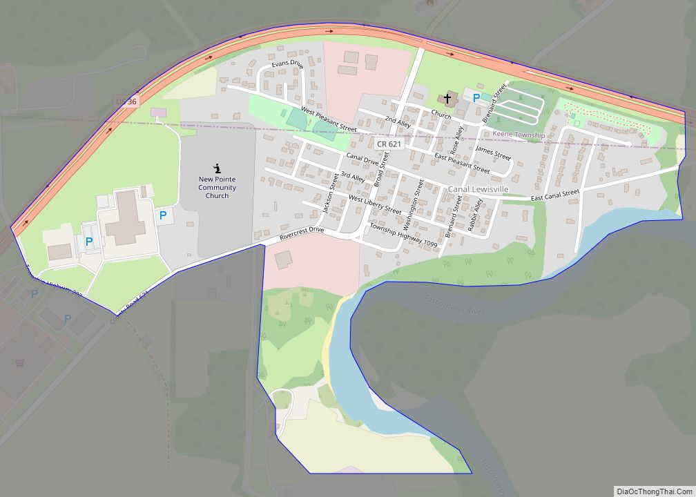
Canal Lewisville is an unincorporated community and census-designated place (CDP) in Coshocton County, Ohio, in the United States. As of the 2010 census it had a population of 320. Canal Lewisville CDP overview: Name: Canal Lewisville CDP LSAD Code: 57 LSAD Description: CDP (suffix) State: Ohio County: Coshocton County Elevation: 772 ft (235 m) Total Area: 0.42 sq mi ... Read more
Ohio Cities and Places
Canal Fulton is a city in western Stark County, Ohio, United States, along the Tuscarawas River. The population was 5,325 at the time of the 2020 census. It is part of the Canton–Massillon metropolitan area. Canal Fulton city overview: Name: Canal Fulton city LSAD Code: 25 LSAD Description: city (suffix) State: Ohio County: Stark County ... Read more
Campbell (/ˈkæməl/; CAM-ell) is a city in eastern Mahoning County, Ohio, United States, along the Mahoning River. The population was 7,852 at the 2020 census. Located directly southeast of Youngstown, it is a suburb of the Youngstown–Warren metropolitan area. Campbell was first called East Youngstown and this designation still appears on real estate deeds between ... Read more
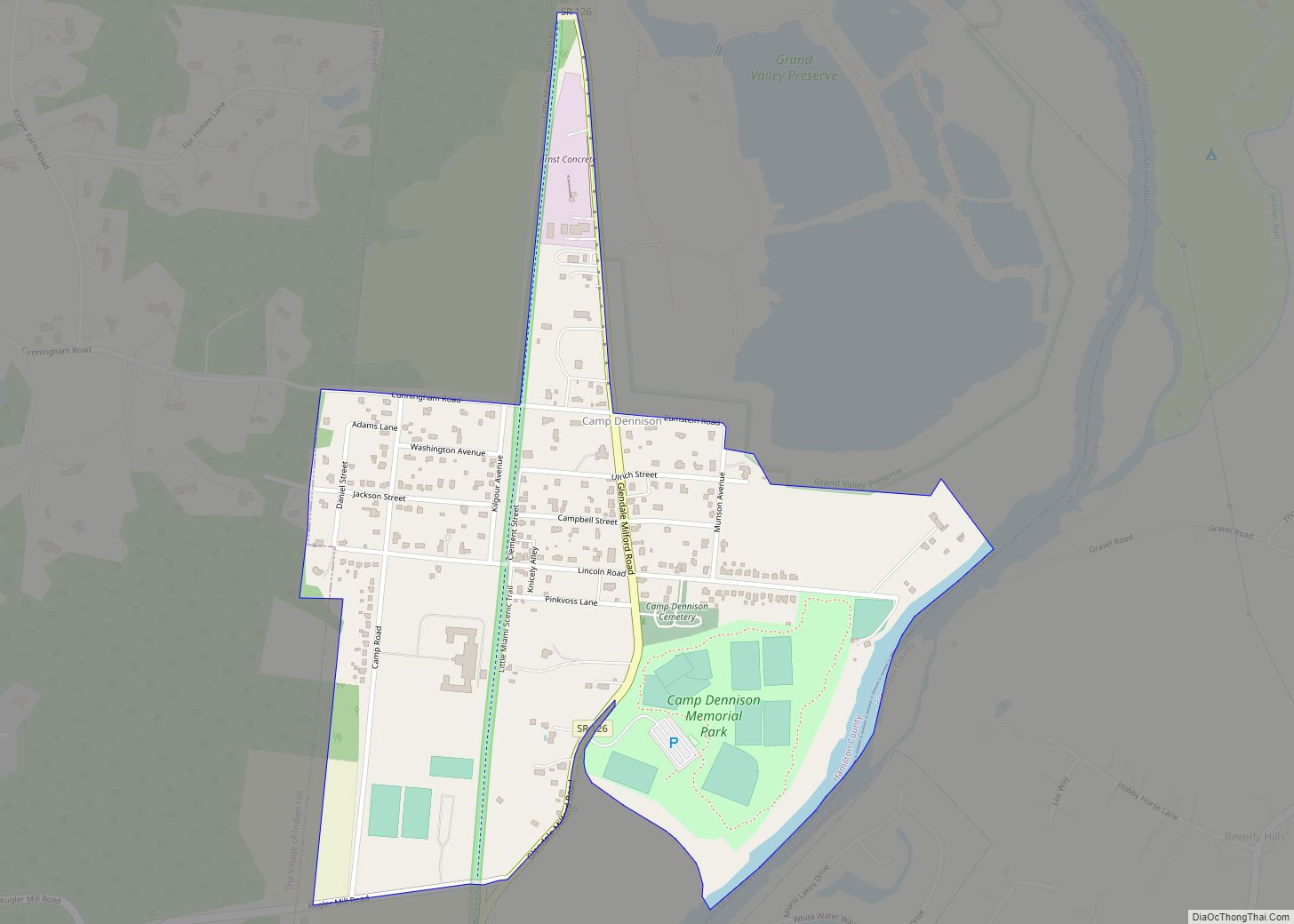
Camp Dennison is a census-designated place (CDP) just outside Indian Hill in southern Symmes Township, Hamilton County, Ohio, United States. It has a post office with the ZIP code 45111. The population was 384 at the 2010 census. Camp Dennison CDP overview: Name: Camp Dennison CDP LSAD Code: 57 LSAD Description: CDP (suffix) State: Ohio ... Read more
Camden is a village in Preble County, Ohio, United States. The population was 1,989 at the 2020 census. Camden village overview: Name: Camden village LSAD Code: 47 LSAD Description: village (suffix) State: Ohio County: Preble County Elevation: 837 ft (255 m) Total Area: 1.25 sq mi (3.23 km²) Land Area: 1.24 sq mi (3.21 km²) Water Area: 0.01 sq mi (0.02 km²) Total Population: 1,989 Population ... Read more
Cambridge is a city in and the county seat of Guernsey County, Ohio, United States. It lies in southeastern Ohio, in the Appalachian Plateau of the Appalachian Mountains about 75 miles (121 km) east of Columbus and approximately 124 miles (200 km) south of Cleveland. The population was 10,089 at the 2020 census. It is the principal ... Read more
Caledonia is a village in Marion County, Ohio, United States. The population was 577 at the 2010 census. Caledonia village overview: Name: Caledonia village LSAD Code: 47 LSAD Description: village (suffix) State: Ohio County: Marion County Elevation: 994 ft (303 m) Total Area: 0.24 sq mi (0.63 km²) Land Area: 0.24 sq mi (0.63 km²) Water Area: 0.00 sq mi (0.00 km²) Total Population: 560 Population ... Read more
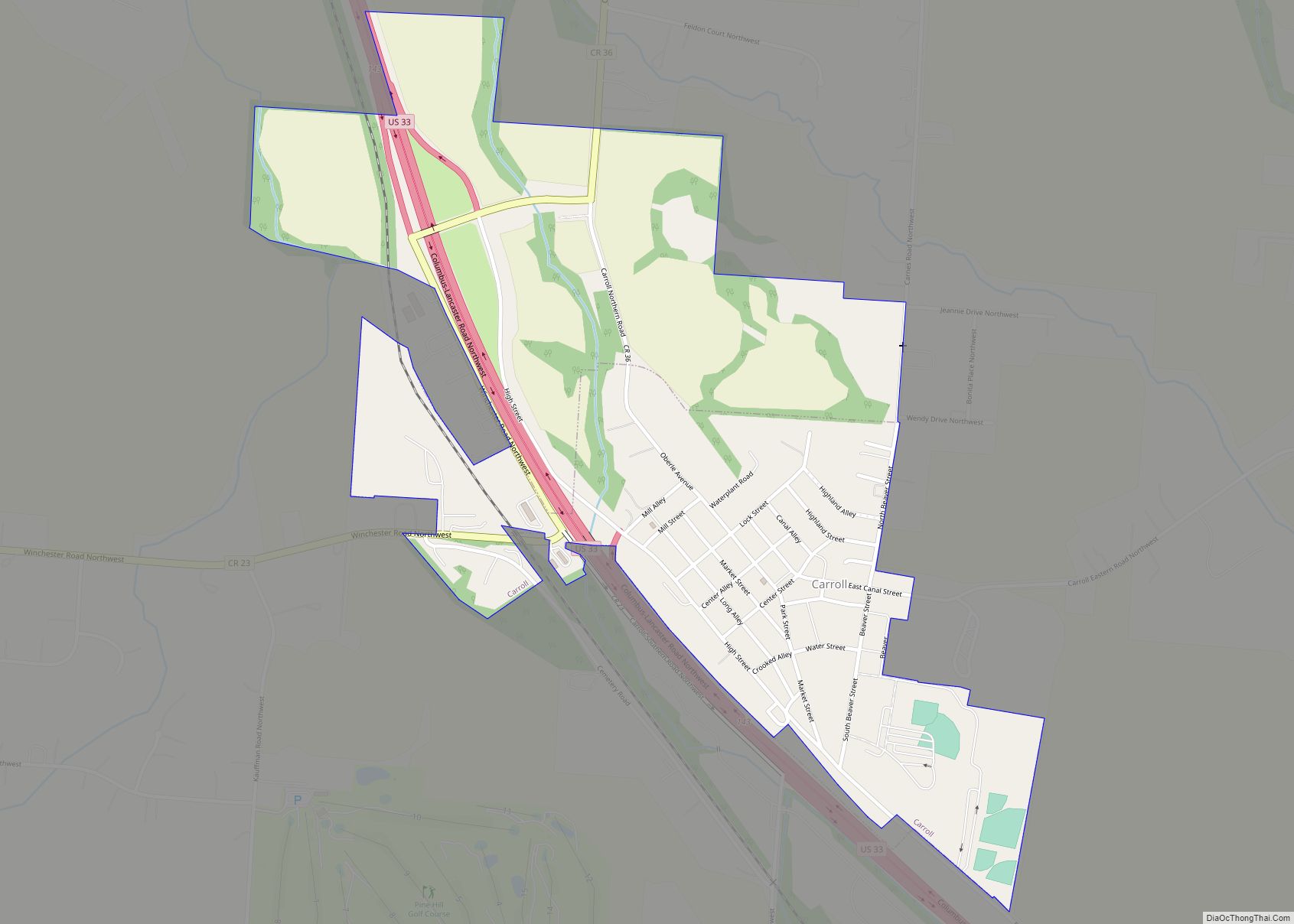
Carroll is a village in Fairfield County, Ohio, United States. The population was 524 at the 2010 census. Carroll village overview: Name: Carroll village LSAD Code: 47 LSAD Description: village (suffix) State: Ohio County: Fairfield County Elevation: 837 ft (255 m) Total Area: 0.63 sq mi (1.63 km²) Land Area: 0.63 sq mi (1.63 km²) Water Area: 0.00 sq mi (0.00 km²) Total Population: 501 Population ... Read more
Carlisle (/ˈkɑːrlaɪl/ KAR-lyle) is a city in northwestern Warren and southern Montgomery counties in the southwestern part of the U.S. state of Ohio. The city is in Franklin Township, Warren County, Ohio and German Township, Montgomery County, Ohio. The Warren County portion of Carlisle is part of the Cincinnati–Middletown, OH-KY–IN Metropolitan Statistical Area, while the ... Read more
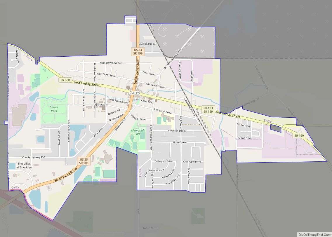
Carey is a village in Wyandot County, Ohio, United States. The population was 3,507 at the 2019 census. Carey village overview: Name: Carey village LSAD Code: 47 LSAD Description: village (suffix) State: Ohio County: Wyandot County Elevation: 820 ft (250 m) Total Area: 2.17 sq mi (5.61 km²) Land Area: 2.16 sq mi (5.59 km²) Water Area: 0.01 sq mi (0.02 km²) Total Population: 3,565 Population ... Read more
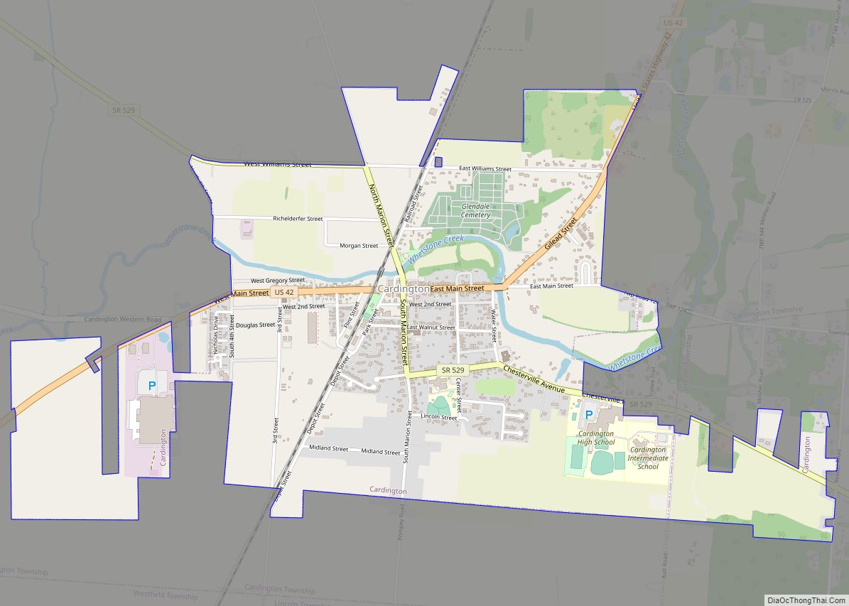
Cardington is a village in Morrow County, Ohio, United States. The population was 2,047 at the 2010 census. Mount Gilead, Ohio, the county seat, is located northeast of Cardington on U.S. Route 42. Cardington village overview: Name: Cardington village LSAD Code: 47 LSAD Description: village (suffix) State: Ohio County: Morrow County Elevation: 1,010 ft (308 m) Total ... Read more
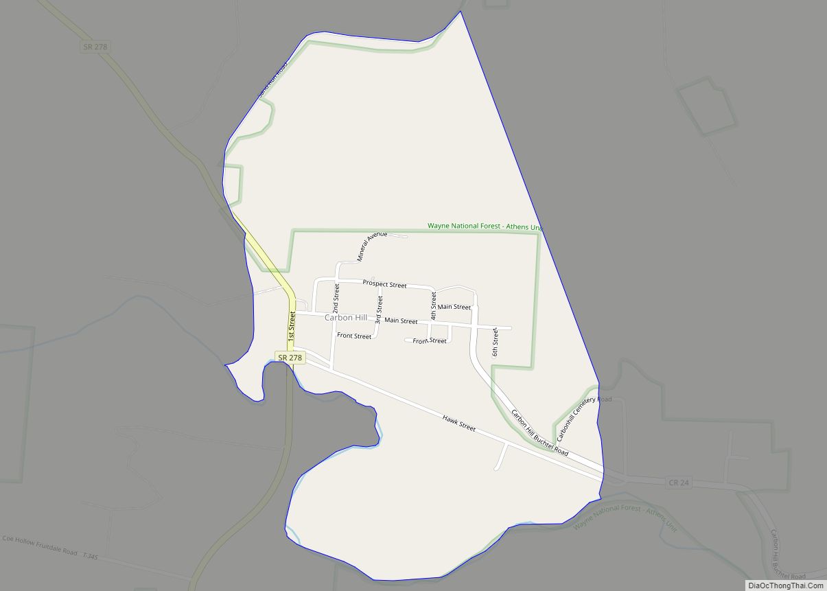
Carbon Hill is an unincorporated community and census-designated place (CDP) in central Ward Township, Hocking County, Ohio, United States. It has a post office with the ZIP code 43111. As of the 2010 census the population of the CDP was 233. State Route 278, located on the western edge of Carbon Hill, is its main ... Read more
