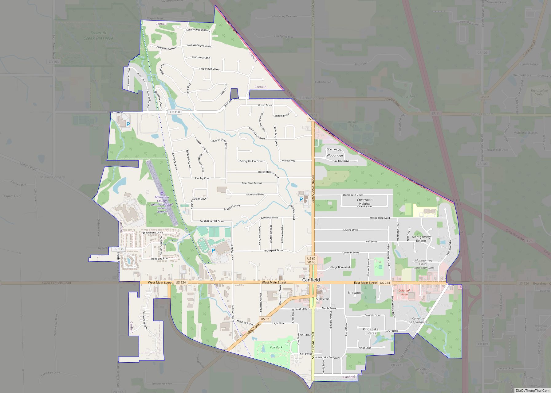
Campbell (/ˈkæməl/; CAM-ell) is a city in eastern Mahoning County, Ohio, United States, along the Mahoning River. The population was 7,852 at the 2020 census. Located directly southeast of Youngstown, it is a suburb of the Youngstown–Warren metropolitan area.
Campbell was first called East Youngstown and this designation still appears on real estate deeds between 1902 and 1926, when the city was renamed for local industrialist James Campbell, then chairman of the Youngstown Sheet and Tube Company.
| Name: | Campbell city |
|---|---|
| LSAD Code: | 25 |
| LSAD Description: | city (suffix) |
| State: | Ohio |
| County: | Mahoning County |
| Incorporated: | 1908 |
| Elevation: | 1,030 ft (314 m) |
| Total Area: | 3.75 sq mi (9.71 km²) |
| Land Area: | 3.72 sq mi (9.63 km²) |
| Water Area: | 0.03 sq mi (0.08 km²) |
| Total Population: | 7,852 |
| Population Density: | 2,112.46/sq mi (815.63/km²) |
| Area code: | 234/330 |
| FIPS code: | 3911066 |
| GNISfeature ID: | 1056760 |
| Website: | http://www.campbellohio.gov/ |
Online Interactive Map
Click on ![]() to view map in "full screen" mode.
to view map in "full screen" mode.
Campbell location map. Where is Campbell city?


History
In 1902, the Youngstown Iron Sheet and Tube Company established a factory near the Mahoning River in what was then Coitsville Township. A settlement grew around the factory, called East Youngstown, due to its location just southeast from downtown Youngstown. The village was incorporated in 1908, as its population swelled with young immigrants to work in the steel industry. Many immigrants to the village were Greeks.
The plant, which would later be known as the Campbell Works, contained four blast furnaces, twelve open hearth furnaces, several blooming mills, two Bessemer converters, a slabbing mill, a butt-weld tube mill, a 79-inch (2,000 mm) hot strip mill, seamless tube mills, and 9-inch (230 mm) and 12-inch (300 mm) bar mills. Due to the imbalance of ironmaking and steelmaking facilities at the two plants, rail shipments of molten iron “hot metal” were sent from Campbell to the company’s Brier Hill Works from 1937 until 1979.
In 1916, Sheet and Tube workers at the East Youngstown plant rioted during a strike over working conditions, which resulted in most of the town’s business district being burned to the ground. The strike was quelled by the arrival of National Guard troops. After the riots, the company erected a series of townhouses known as “Iron Soup” that were the first prefabricated concrete home development in the world. In 1926, the city was renamed to recognize James Anson Campbell, president of the iron company during the founding of the city.
The company abruptly closed its Campbell Works and furloughed 5,000 workers on September 19, 1977, a day remembered locally as “Black Monday.”
Campbell is sometimes referred to as the “City of Churches” because of the wide variety of religious structures found throughout the community.
Campbell Road Map
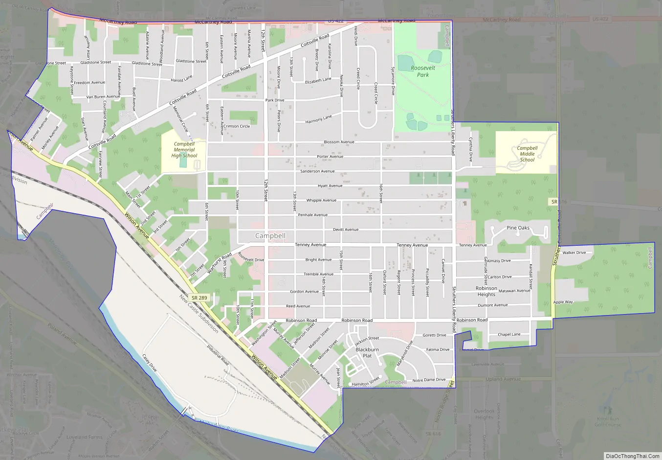
Campbell city Satellite Map

Geography
Campbell is located on the north bank of the Mahoning River. It is located at 41°04′41″N 80°35′24″W / 41.078013°N 80.589968°W / 41.078013; -80.589968. The city has a total area of 3.74 square miles (9.69 km), of which 3.71 square miles (9.61 km) is land and 0.03 square miles (0.08 km) is water.
See also
Map of Ohio State and its subdivision:- Adams
- Allen
- Ashland
- Ashtabula
- Athens
- Auglaize
- Belmont
- Brown
- Butler
- Carroll
- Champaign
- Clark
- Clermont
- Clinton
- Columbiana
- Coshocton
- Crawford
- Cuyahoga
- Darke
- Defiance
- Delaware
- Erie
- Fairfield
- Fayette
- Franklin
- Fulton
- Gallia
- Geauga
- Greene
- Guernsey
- Hamilton
- Hancock
- Hardin
- Harrison
- Henry
- Highland
- Hocking
- Holmes
- Huron
- Jackson
- Jefferson
- Knox
- Lake
- Lake Erie
- Lawrence
- Licking
- Logan
- Lorain
- Lucas
- Madison
- Mahoning
- Marion
- Medina
- Meigs
- Mercer
- Miami
- Monroe
- Montgomery
- Morgan
- Morrow
- Muskingum
- Noble
- Ottawa
- Paulding
- Perry
- Pickaway
- Pike
- Portage
- Preble
- Putnam
- Richland
- Ross
- Sandusky
- Scioto
- Seneca
- Shelby
- Stark
- Summit
- Trumbull
- Tuscarawas
- Union
- Van Wert
- Vinton
- Warren
- Washington
- Wayne
- Williams
- Wood
- Wyandot
- Alabama
- Alaska
- Arizona
- Arkansas
- California
- Colorado
- Connecticut
- Delaware
- District of Columbia
- Florida
- Georgia
- Hawaii
- Idaho
- Illinois
- Indiana
- Iowa
- Kansas
- Kentucky
- Louisiana
- Maine
- Maryland
- Massachusetts
- Michigan
- Minnesota
- Mississippi
- Missouri
- Montana
- Nebraska
- Nevada
- New Hampshire
- New Jersey
- New Mexico
- New York
- North Carolina
- North Dakota
- Ohio
- Oklahoma
- Oregon
- Pennsylvania
- Rhode Island
- South Carolina
- South Dakota
- Tennessee
- Texas
- Utah
- Vermont
- Virginia
- Washington
- West Virginia
- Wisconsin
- Wyoming