Carlisle (/ˈkɑːrlaɪl/ KAR-lyle) is a city in northwestern Warren and southern Montgomery counties in the southwestern part of the U.S. state of Ohio. The city is in Franklin Township, Warren County, Ohio and German Township, Montgomery County, Ohio.
The Warren County portion of Carlisle is part of the Cincinnati–Middletown, OH-KY–IN Metropolitan Statistical Area, while the Montgomery County portion is part of the Dayton, OH Metropolitan Statistical Area.
Carlisle is known for an area landmark: a “double UFO” house off Chamberlain Road, which resembles two silver-colored flying saucers connected by a metal duct. This is actually two Futuro houses combined into one residence.
| Name: | Carlisle village |
|---|---|
| LSAD Code: | 47 |
| LSAD Description: | village (suffix) |
| State: | Ohio |
| County: | Montgomery County, Warren County |
| Elevation: | 699 ft (213 m) |
| Total Area: | 3.71 sq mi (9.62 km²) |
| Land Area: | 3.56 sq mi (9.22 km²) |
| Water Area: | 0.15 sq mi (0.40 km²) |
| Total Population: | 5,501 |
| Population Density: | 1,545.66/sq mi (596.80/km²) |
| ZIP code: | 45005 |
| Area code: | Area code 937 |
| FIPS code: | 3912168 |
| GNISfeature ID: | 1056767 |
| Website: | http://www.carlisleoh.org/ |
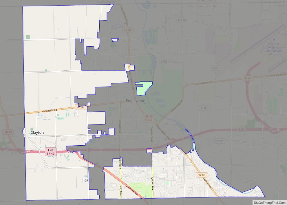
Online Interactive Map
Click on ![]() to view map in "full screen" mode.
to view map in "full screen" mode.
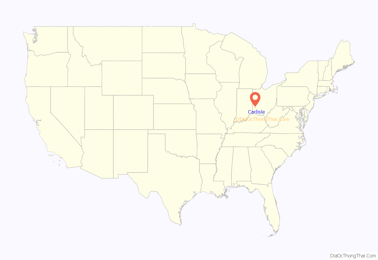
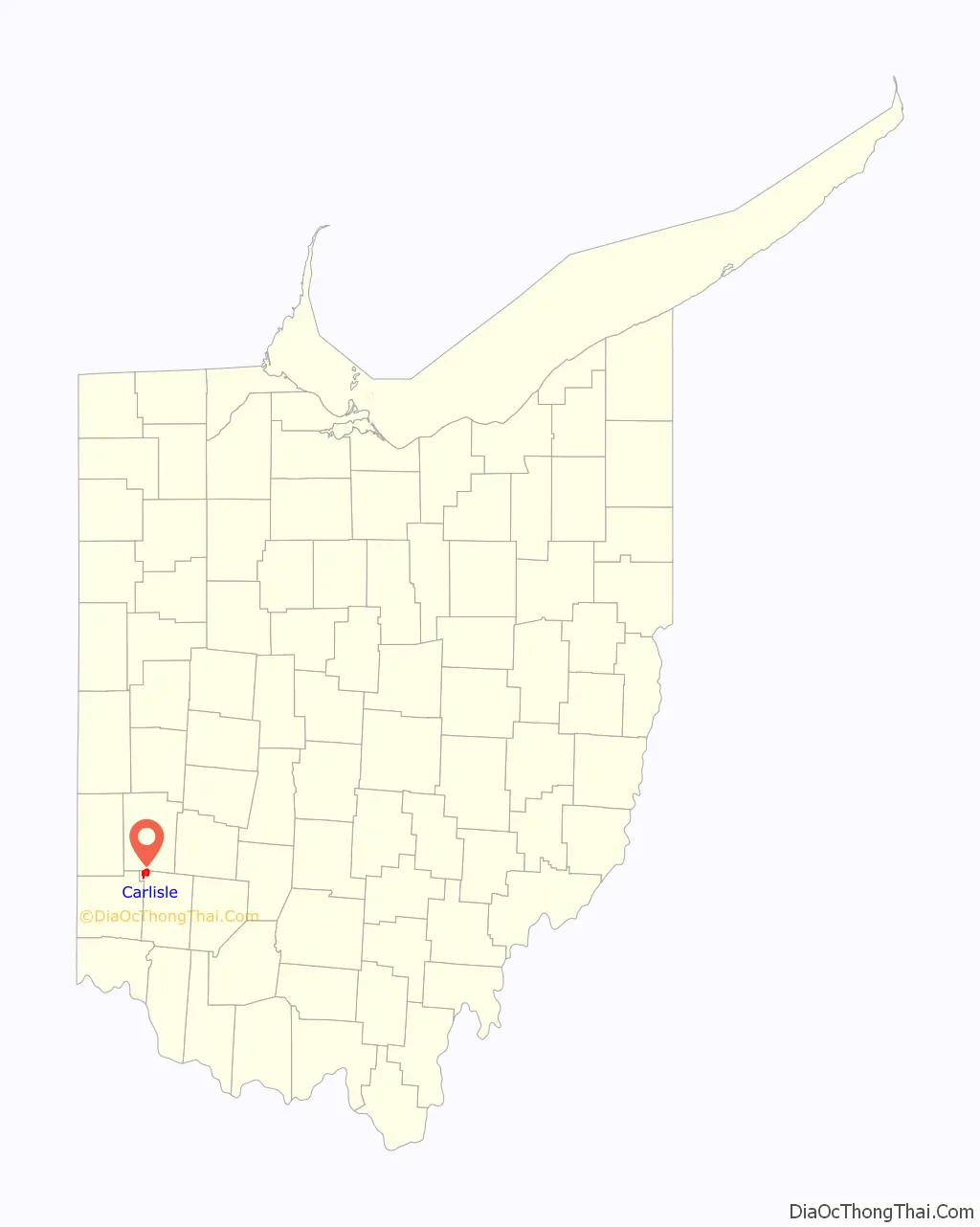
Carlisle location map. Where is Carlisle village?
History
Carlisle had its start in 1850 when the railroad was extended to that point and a train station was built. The village was named for “railroad man” George B. Carlisle, who in the mid-19th century “bought and platted a large section of the community”. A post office was established at Carlisle in 1852, and remained in operation until 1961.
Carlisle’s population increased from 4,872 in the 1990 census to 5,121 in the 2000 census; passing the threshold of 5,000, its designation was changed from village to city. As of the 2010 census, the population was 4,915; this population loss caused Carlisle to once again become a village. In the 2020 census, the population was 5,501; on October 20, 2021, Carlisle regained city status.
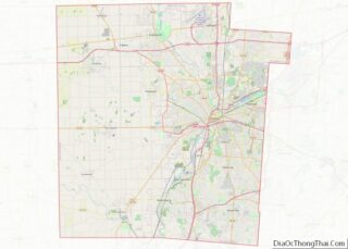
Carlisle Road Map
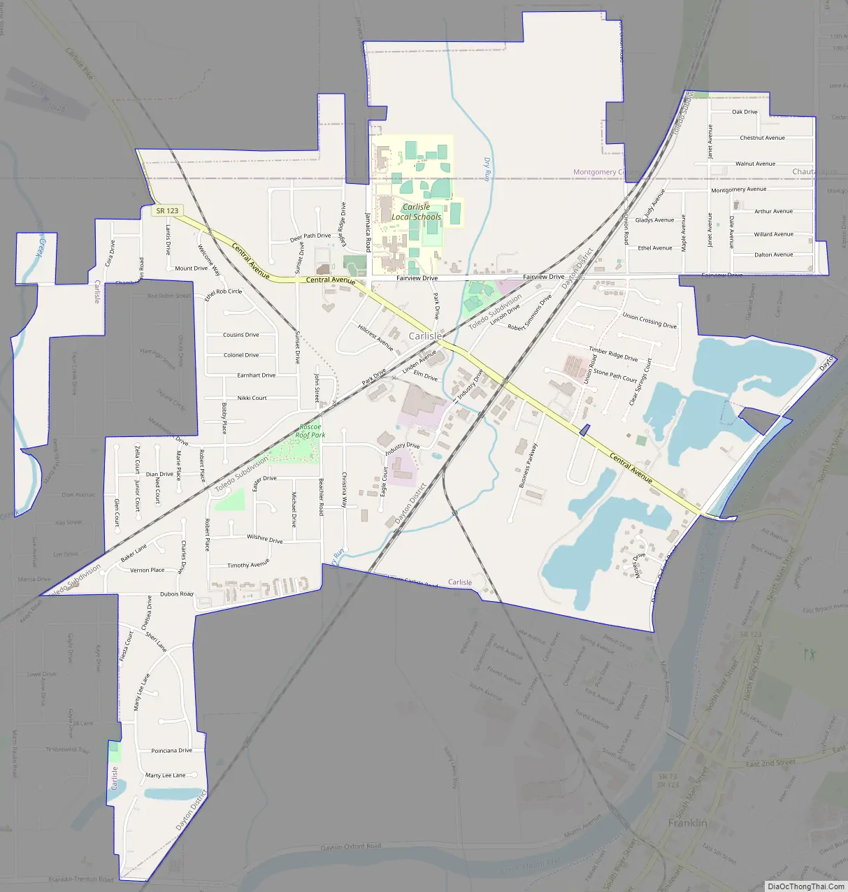
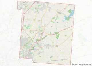
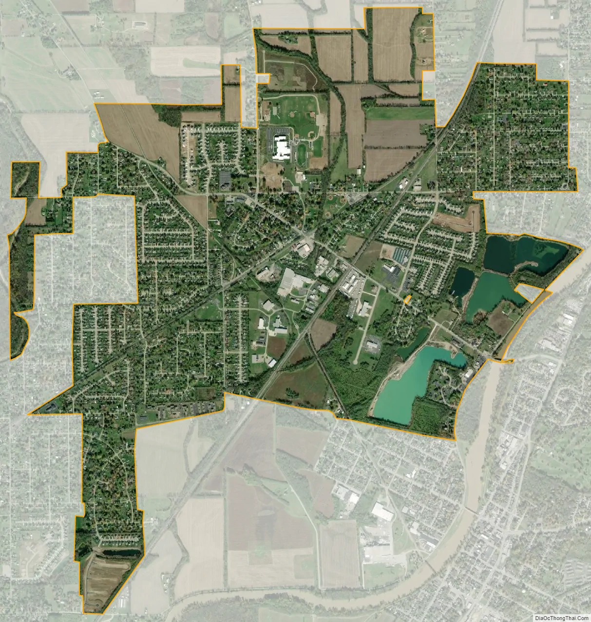
Carlisle city Satellite Map
Geography
Carlisle is located at 39°34′47″N 84°19′9″W / 39.57972°N 84.31917°W / 39.57972; -84.31917 (39.579836, -84.319288).
According to the United States Census Bureau, the city has a total area of 3.73 square miles (9.66 km), of which 3.53 square miles (9.14 km) is land and 0.20 square miles (0.52 km) is water.
See also
Map of Ohio State and its subdivision:- Adams
- Allen
- Ashland
- Ashtabula
- Athens
- Auglaize
- Belmont
- Brown
- Butler
- Carroll
- Champaign
- Clark
- Clermont
- Clinton
- Columbiana
- Coshocton
- Crawford
- Cuyahoga
- Darke
- Defiance
- Delaware
- Erie
- Fairfield
- Fayette
- Franklin
- Fulton
- Gallia
- Geauga
- Greene
- Guernsey
- Hamilton
- Hancock
- Hardin
- Harrison
- Henry
- Highland
- Hocking
- Holmes
- Huron
- Jackson
- Jefferson
- Knox
- Lake
- Lake Erie
- Lawrence
- Licking
- Logan
- Lorain
- Lucas
- Madison
- Mahoning
- Marion
- Medina
- Meigs
- Mercer
- Miami
- Monroe
- Montgomery
- Morgan
- Morrow
- Muskingum
- Noble
- Ottawa
- Paulding
- Perry
- Pickaway
- Pike
- Portage
- Preble
- Putnam
- Richland
- Ross
- Sandusky
- Scioto
- Seneca
- Shelby
- Stark
- Summit
- Trumbull
- Tuscarawas
- Union
- Van Wert
- Vinton
- Warren
- Washington
- Wayne
- Williams
- Wood
- Wyandot
- Alabama
- Alaska
- Arizona
- Arkansas
- California
- Colorado
- Connecticut
- Delaware
- District of Columbia
- Florida
- Georgia
- Hawaii
- Idaho
- Illinois
- Indiana
- Iowa
- Kansas
- Kentucky
- Louisiana
- Maine
- Maryland
- Massachusetts
- Michigan
- Minnesota
- Mississippi
- Missouri
- Montana
- Nebraska
- Nevada
- New Hampshire
- New Jersey
- New Mexico
- New York
- North Carolina
- North Dakota
- Ohio
- Oklahoma
- Oregon
- Pennsylvania
- Rhode Island
- South Carolina
- South Dakota
- Tennessee
- Texas
- Utah
- Vermont
- Virginia
- Washington
- West Virginia
- Wisconsin
- Wyoming