Dundee is a census-designated place in central Wayne Township, Tuscarawas County, Ohio, United States. It has a post office with the ZIP code 44624. It lies at the intersection of State Routes 93 and 516. Dundee CDP overview: Name: Dundee CDP LSAD Code: 57 LSAD Description: CDP (suffix) State: Ohio County: Tuscarawas County FIPS code: ... Read more
Ohio Cities and Places
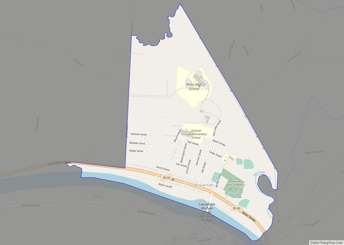
Duncan Falls is a census-designated place in southeastern Wayne Township, Muskingum County, Ohio, United States, located on State Route 60 south of the city of Zanesville. It has a post office with the ZIP code 43734. Duncan Falls has a public library, a branch of the Muskingum County Library System. Duncan Falls CDP overview: Name: ... Read more
Dublin is a city in Franklin, Delaware and Union counties in the U.S. state of Ohio. The population was 49,328 at the 2020 census. It is a suburb of Columbus. The city of Dublin hosts the yearly Memorial Tournament at the Muirfield Village Golf Club. The Dublin Irish Festival (called Dublin Irish Days in 2021) ... Read more
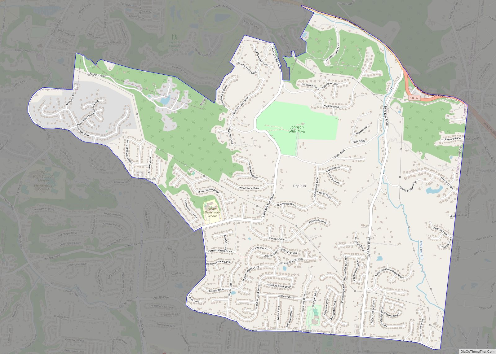
Dry Run is a census-designated place (CDP) in Hamilton County, Ohio, United States. The population was 7,672 at the 2020 census. Dry Run CDP overview: Name: Dry Run CDP LSAD Code: 57 LSAD Description: CDP (suffix) State: Ohio County: Hamilton County Elevation: 873 ft (266 m) Total Area: 4.77 sq mi (12.34 km²) Land Area: 4.76 sq mi (12.32 km²) Water Area: 0.01 sq mi ... Read more
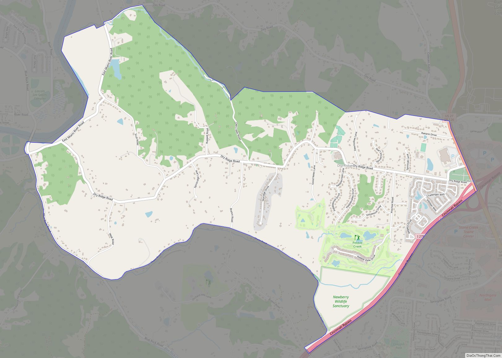
Dry Ridge is a census-designated place (CDP) in Colerain Township, Hamilton County, Ohio, United States. The population was 2,698 at the 2020 census. Dry Ridge CDP overview: Name: Dry Ridge CDP LSAD Code: 57 LSAD Description: CDP (suffix) State: Ohio County: Hamilton County Elevation: 923 ft (281 m) Total Area: 4.15 sq mi (10.76 km²) Land Area: 4.13 sq mi (10.68 km²) Water ... Read more
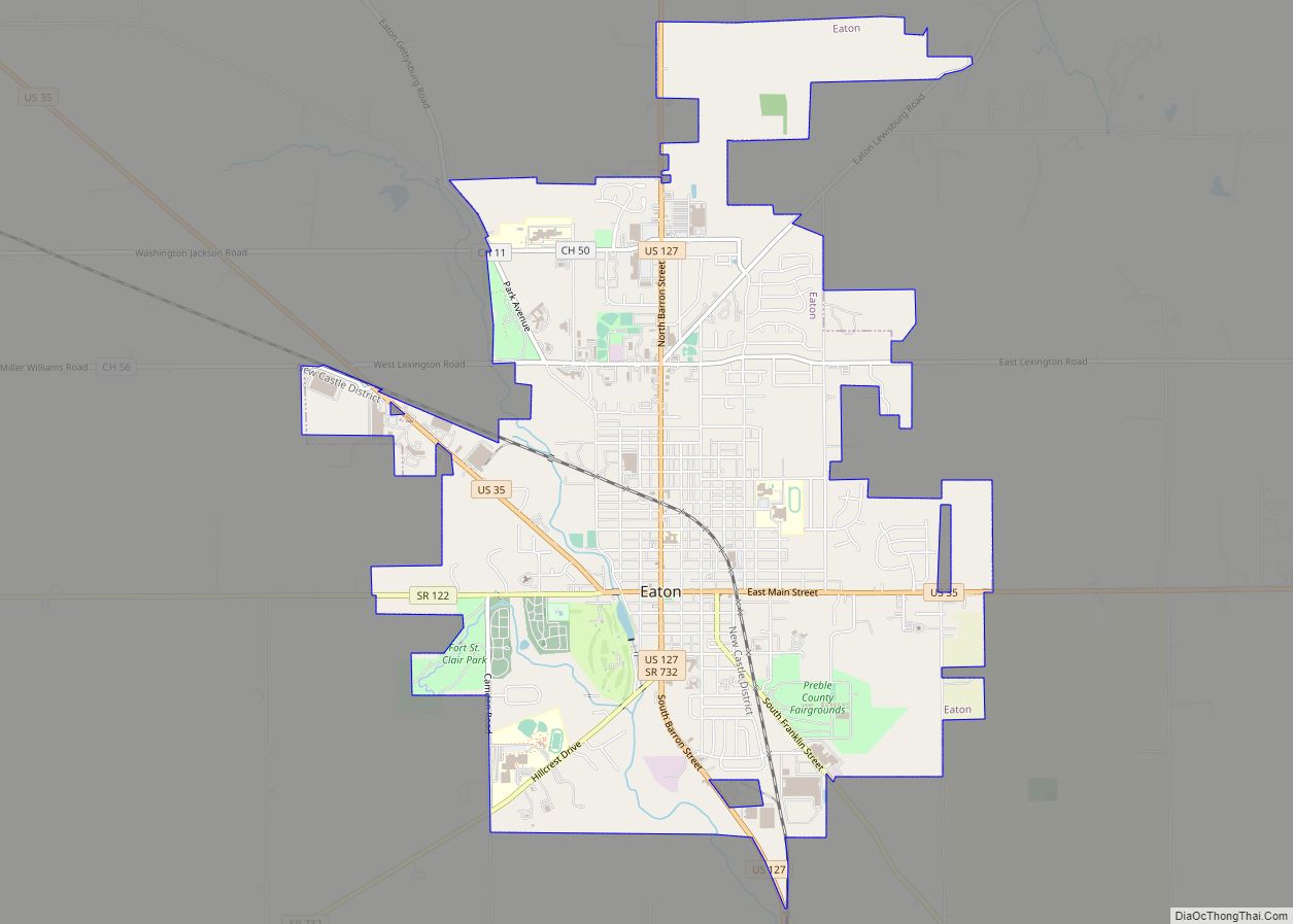
Eaton is a city in, and the county seat of Preble County, Ohio, United States, approximately 24 mi (38 km) west of Dayton. The population was 8,375 at the 2020 census, down 0.4% from the population of 8,407 at the 2010 census. Eaton’s sister city is Rödental bei Coburg (Germany). Eaton city overview: Name: Eaton city LSAD ... Read more
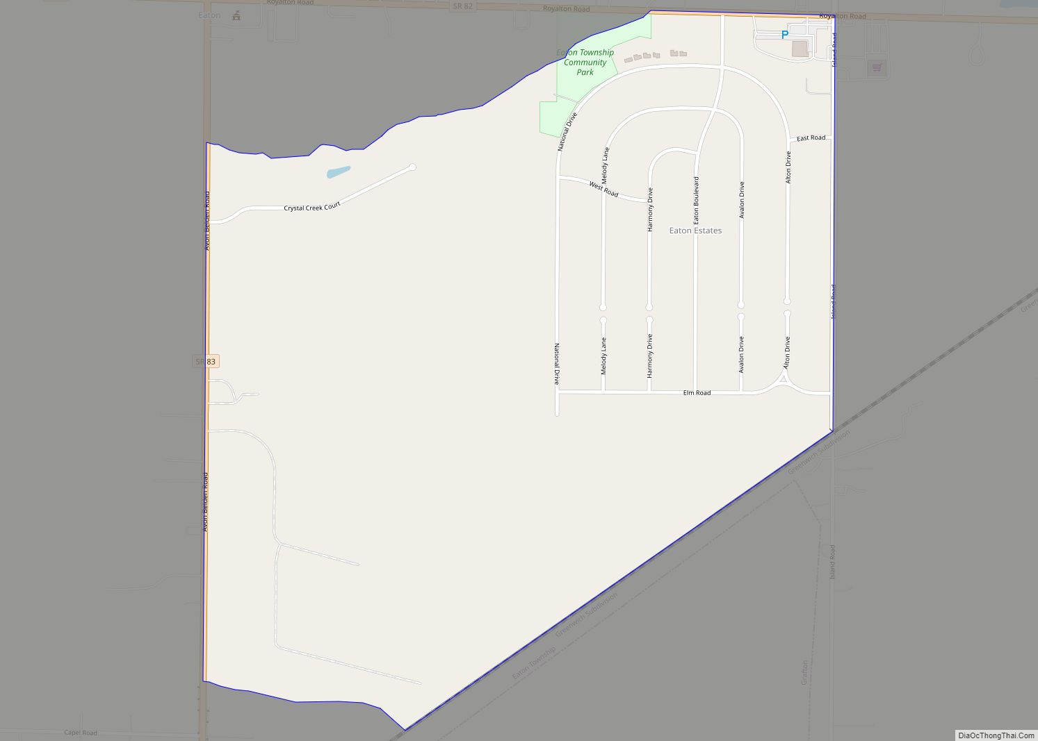
Eaton Estates is an unincorporated community and census-designated place (CDP) in Lorain County, Ohio, United States. The population was 1,222 at the 2010 census, down from 1,409 at the 2000 census. Eaton Estates CDP overview: Name: Eaton Estates CDP LSAD Code: 57 LSAD Description: CDP (suffix) State: Ohio County: Lorain County Elevation: 801 ft (244 m) Total ... Read more
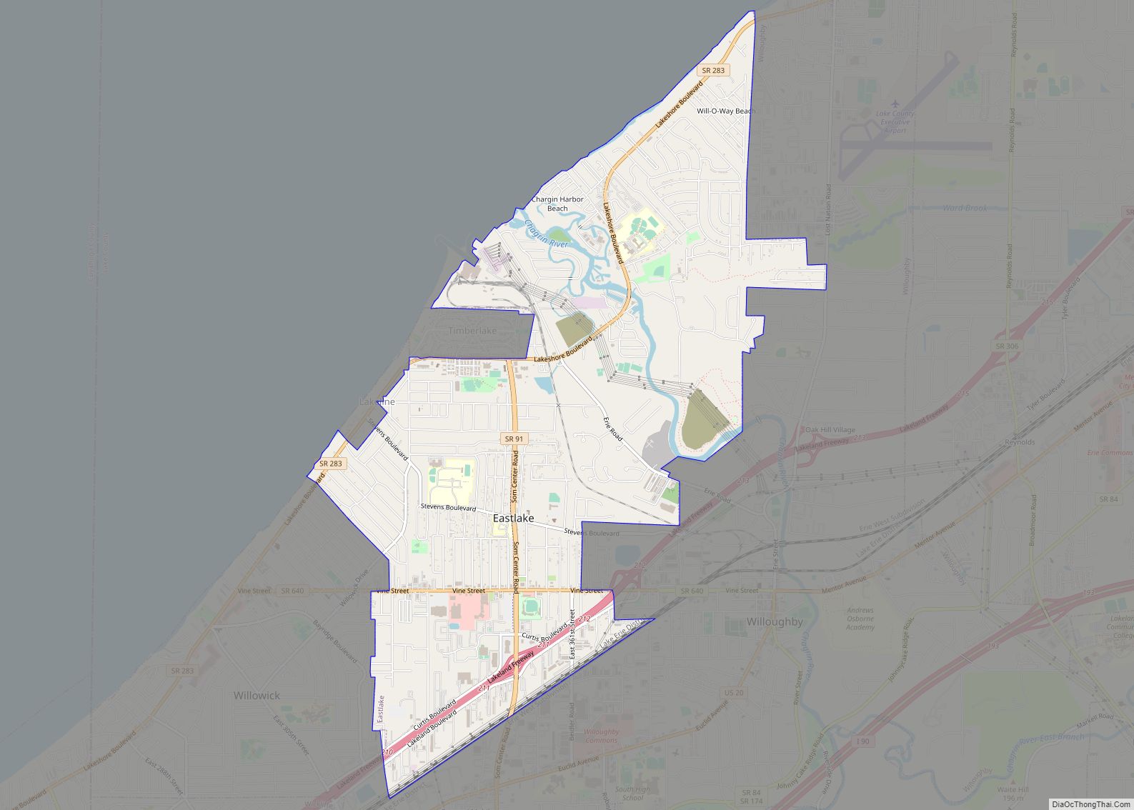
Eastlake is a city in Lake County, Ohio, United States. It takes its name from its location northeast of Cleveland, following along the shore of Lake Erie. The population was 17,670 at the 2020 census. The 2003 North America blackout stemmed from an Eastlake generating station going offline. Eastlake city overview: Name: Eastlake city LSAD ... Read more
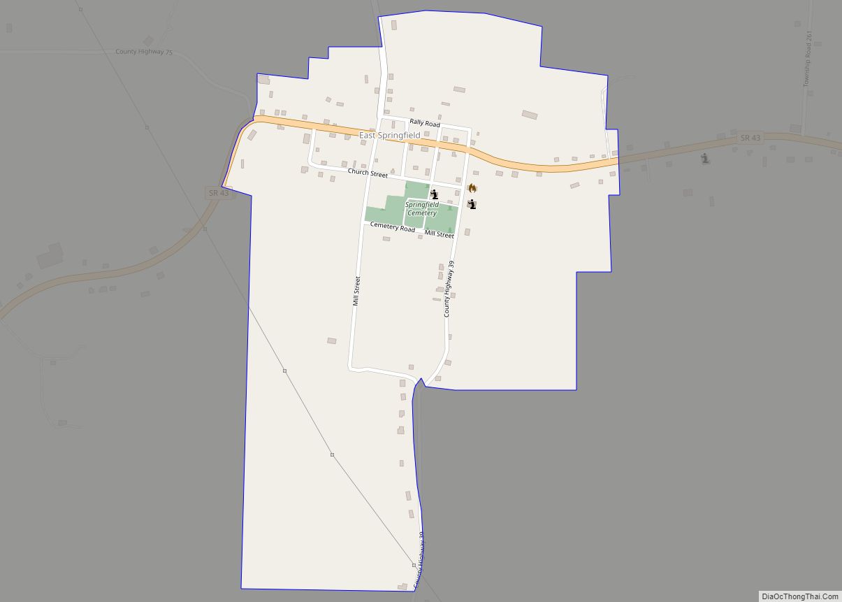
East Springfield is a census-designated place (CDP) in northwestern Salem Township, Jefferson County, Ohio, United States. It has a post office with the ZIP code 43925. It lies along State Route 43, 16 miles (26 km) northwest of the county seat of Steubenville and 17 miles (27 km) southeast of Carrollton. The community is part of the ... Read more
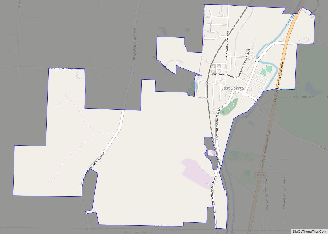
East Sparta is a village in Stark County, Ohio, United States. The population was 819 at the 2010 census. It is part of the Canton–Massillon Metropolitan Statistical Area. East Sparta village overview: Name: East Sparta village LSAD Code: 47 LSAD Description: village (suffix) State: Ohio County: Stark County Elevation: 968 ft (295 m) Total Area: 1.82 sq mi (4.71 km²) ... Read more
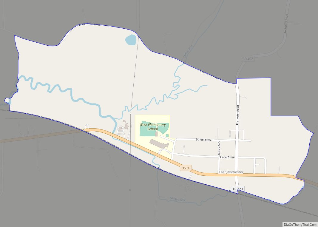
East Rochester is an unincorporated community and census-designated place (CDP) in southern West Township, Columbiana County, Ohio, United States. The population was 224 as of the 2020 census. It lies along U.S. Route 30, and has a post office with the ZIP code 44625. It is part of the Salem micropolitan area and the greater ... Read more
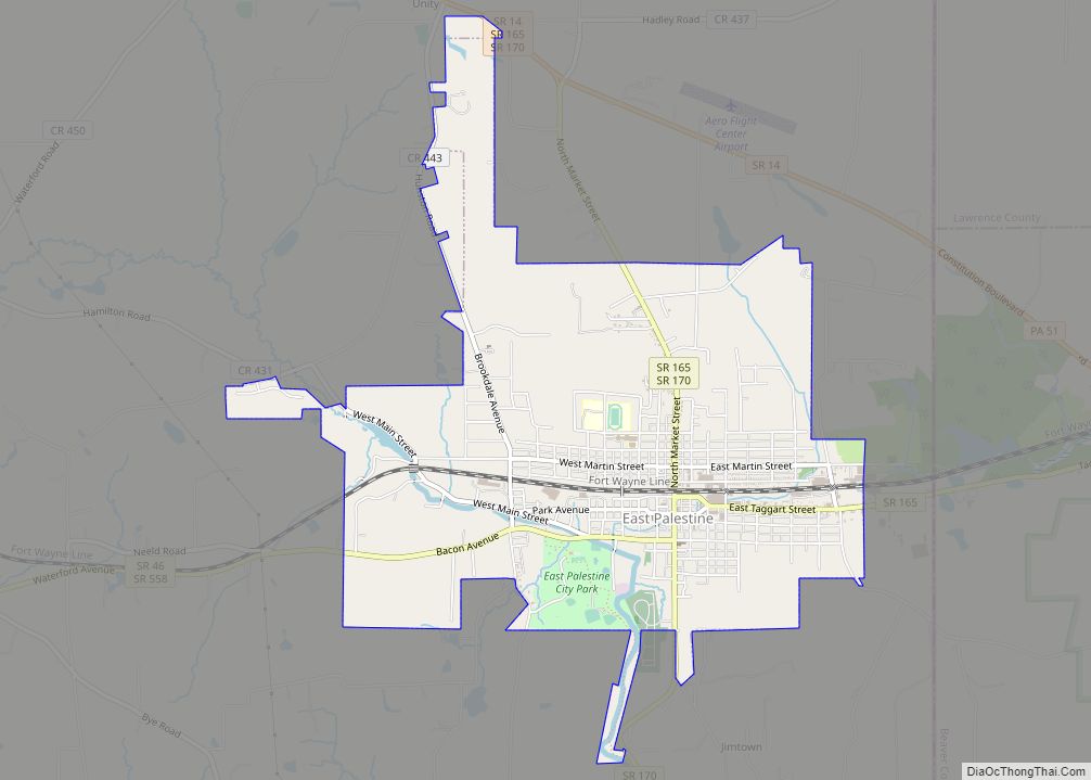
East Palestine (/ˌpæləˈstiːn/ PAL-ə-STEEN) is a village in northeastern Columbiana County, Ohio, United States. The population was 4,761 at the 2020 census. Located on the state’s border with Pennsylvania, East Palestine is about 20 miles (32 km) south of Youngstown and 40 miles (64 km) northwest of Pittsburgh. It is part of the Salem micropolitan area. The ... Read more

