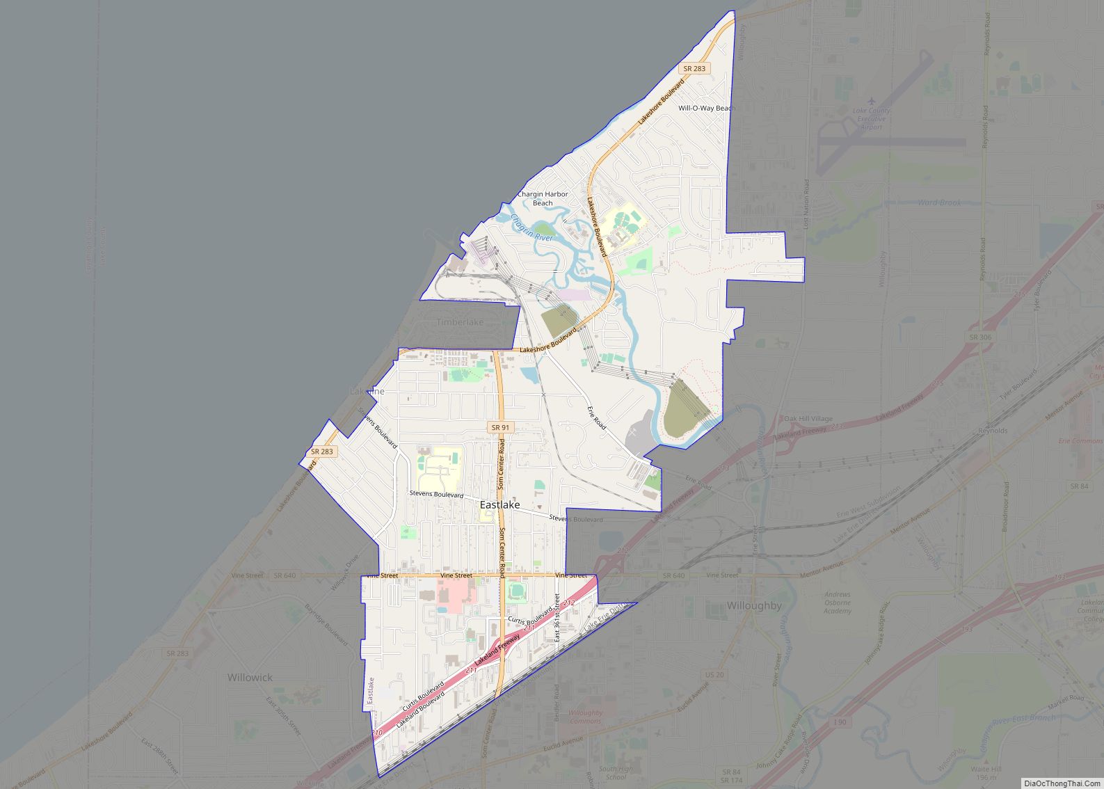
Eastlake is a city in Lake County, Ohio, United States. It takes its name from its location northeast of Cleveland, following along the shore of Lake Erie. The population was 17,670 at the 2020 census. The 2003 North America blackout stemmed from an Eastlake generating station going offline.
| Name: | Eastlake city |
|---|---|
| LSAD Code: | 25 |
| LSAD Description: | city (suffix) |
| State: | Ohio |
| County: | Lake County |
| Incorporated: | 1948 |
| Elevation: | 620 ft (189 m) |
| Total Area: | 6.54 sq mi (16.93 km²) |
| Land Area: | 6.41 sq mi (16.59 km²) |
| Water Area: | 0.13 sq mi (0.34 km²) |
| Total Population: | 17,670 |
| Population Density: | 2,757.92/sq mi (1,064.91/km²) |
| ZIP code: | 44095, 44097 |
| Area code: | 440 |
| FIPS code: | 3923618 |
| GNISfeature ID: | 1064593 |
| Website: | eastlakeohio.com |
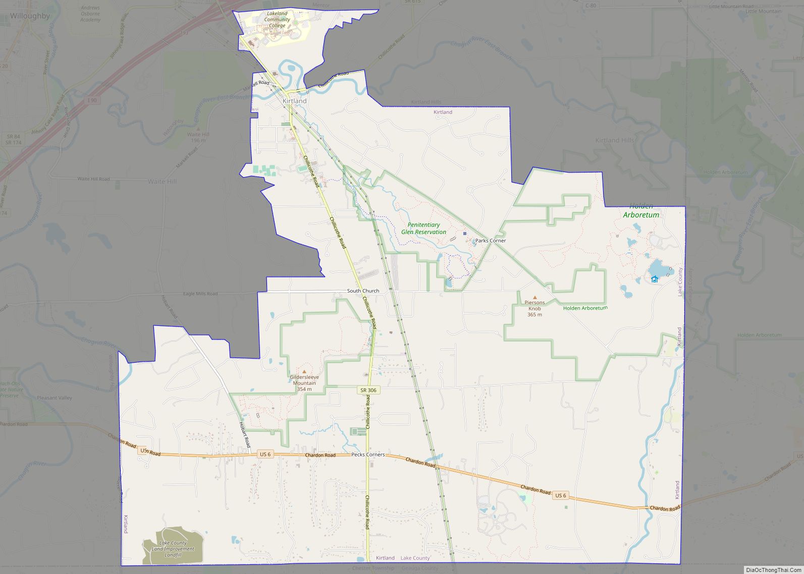
Online Interactive Map
Click on ![]() to view map in "full screen" mode.
to view map in "full screen" mode.
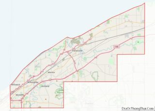
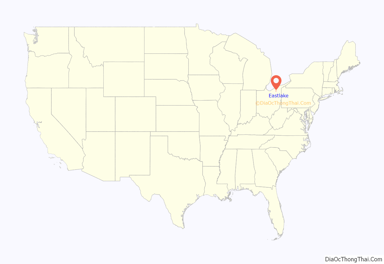
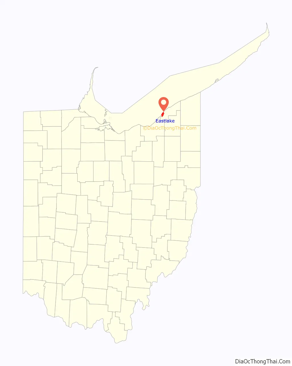
Eastlake location map. Where is Eastlake city?
History
The single largest blackout in North American history on August 14, 2003, was traced back to a FirstEnergy generating plant in Eastlake that went offline at 1:31 P.M. EDT amid high electrical demand. It caused 50 million people to lose power in eight U.S. states and southeastern Canada.
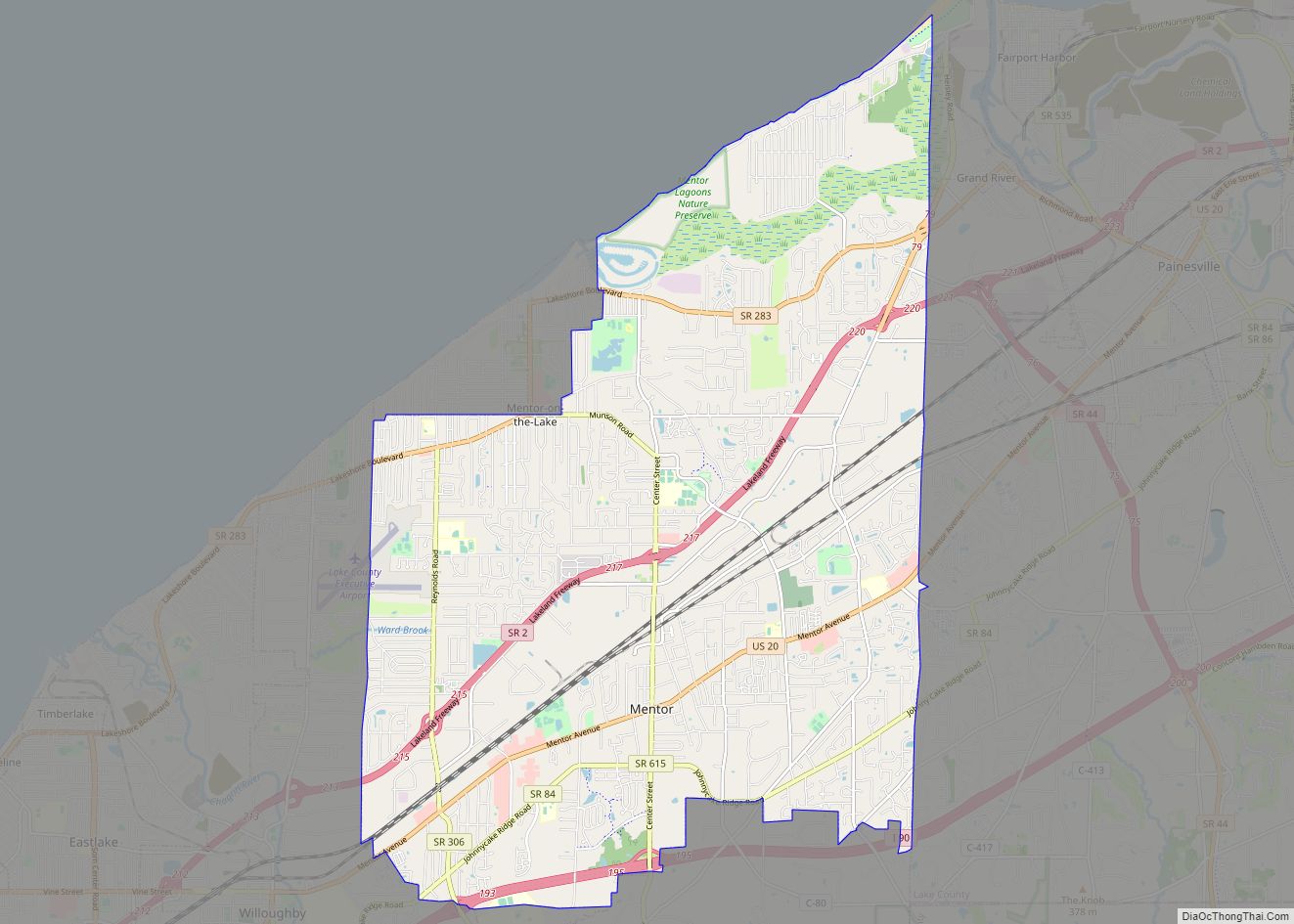
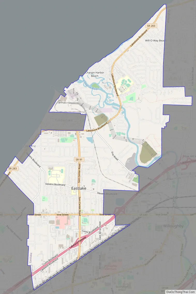
Eastlake Road Map
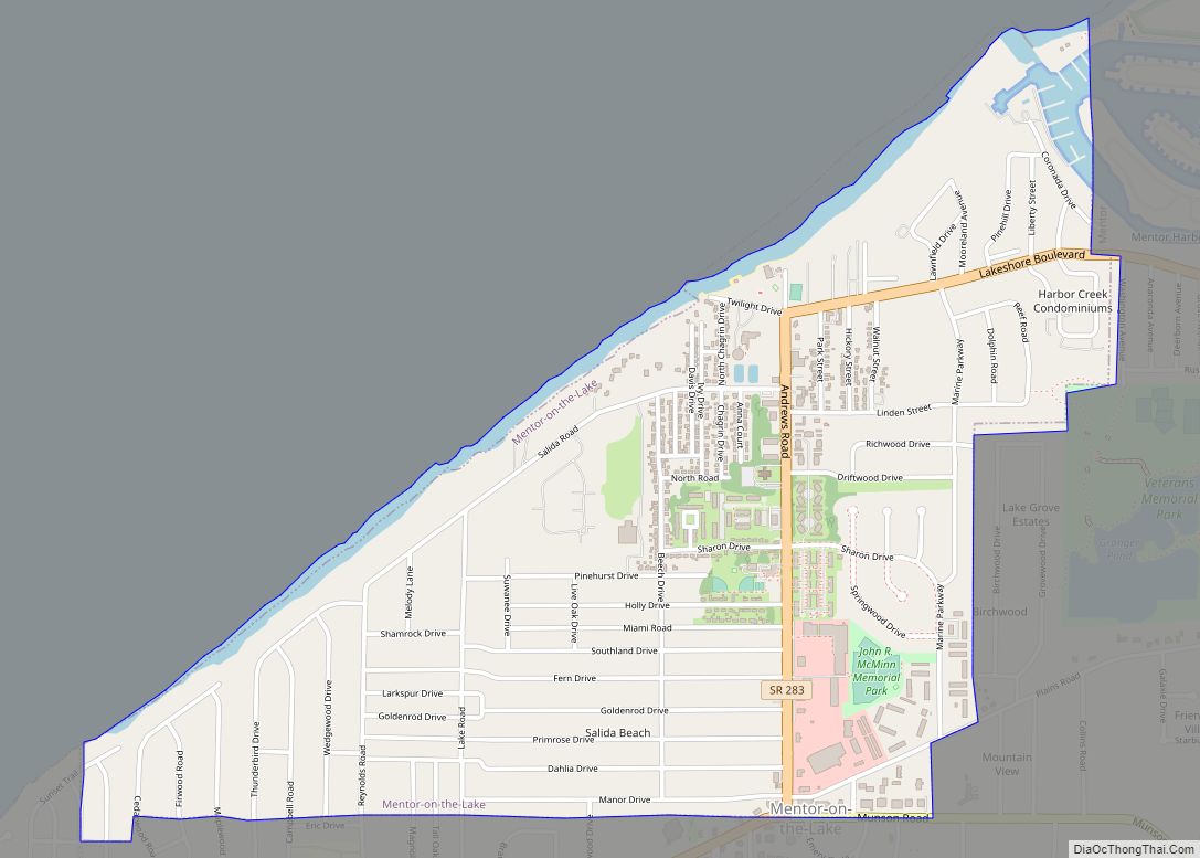
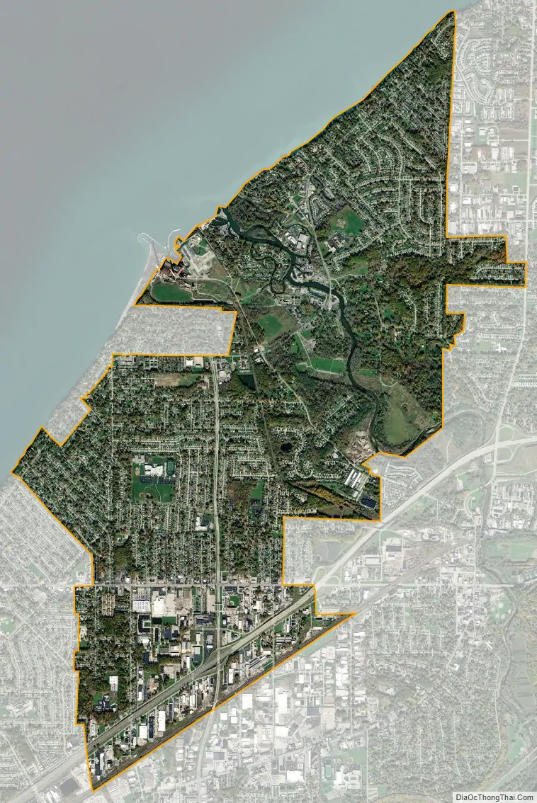
Eastlake city Satellite Map
Geography
According to the United States Census Bureau, the city has a total area of 6.53 square miles (16.91 km), of which 6.40 square miles (16.58 km) is land and 0.13 square miles (0.34 km) is water.
Eastlake is about 19 miles northeast of Cleveland, Ohio, along the shore of Lake Erie, and is part of Greater Cleveland.
See also
Map of Ohio State and its subdivision:- Adams
- Allen
- Ashland
- Ashtabula
- Athens
- Auglaize
- Belmont
- Brown
- Butler
- Carroll
- Champaign
- Clark
- Clermont
- Clinton
- Columbiana
- Coshocton
- Crawford
- Cuyahoga
- Darke
- Defiance
- Delaware
- Erie
- Fairfield
- Fayette
- Franklin
- Fulton
- Gallia
- Geauga
- Greene
- Guernsey
- Hamilton
- Hancock
- Hardin
- Harrison
- Henry
- Highland
- Hocking
- Holmes
- Huron
- Jackson
- Jefferson
- Knox
- Lake
- Lake Erie
- Lawrence
- Licking
- Logan
- Lorain
- Lucas
- Madison
- Mahoning
- Marion
- Medina
- Meigs
- Mercer
- Miami
- Monroe
- Montgomery
- Morgan
- Morrow
- Muskingum
- Noble
- Ottawa
- Paulding
- Perry
- Pickaway
- Pike
- Portage
- Preble
- Putnam
- Richland
- Ross
- Sandusky
- Scioto
- Seneca
- Shelby
- Stark
- Summit
- Trumbull
- Tuscarawas
- Union
- Van Wert
- Vinton
- Warren
- Washington
- Wayne
- Williams
- Wood
- Wyandot
- Alabama
- Alaska
- Arizona
- Arkansas
- California
- Colorado
- Connecticut
- Delaware
- District of Columbia
- Florida
- Georgia
- Hawaii
- Idaho
- Illinois
- Indiana
- Iowa
- Kansas
- Kentucky
- Louisiana
- Maine
- Maryland
- Massachusetts
- Michigan
- Minnesota
- Mississippi
- Missouri
- Montana
- Nebraska
- Nevada
- New Hampshire
- New Jersey
- New Mexico
- New York
- North Carolina
- North Dakota
- Ohio
- Oklahoma
- Oregon
- Pennsylvania
- Rhode Island
- South Carolina
- South Dakota
- Tennessee
- Texas
- Utah
- Vermont
- Virginia
- Washington
- West Virginia
- Wisconsin
- Wyoming