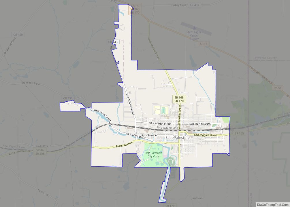
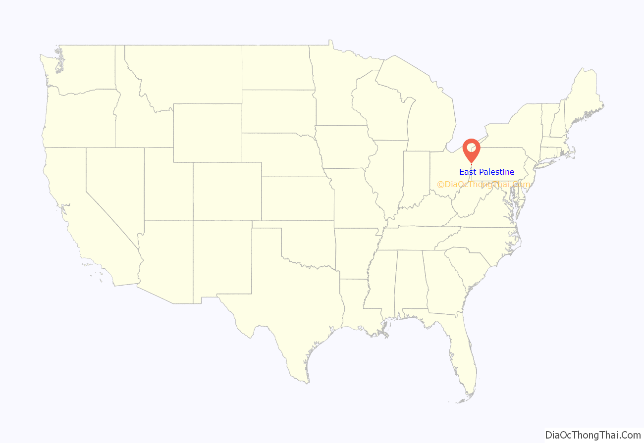
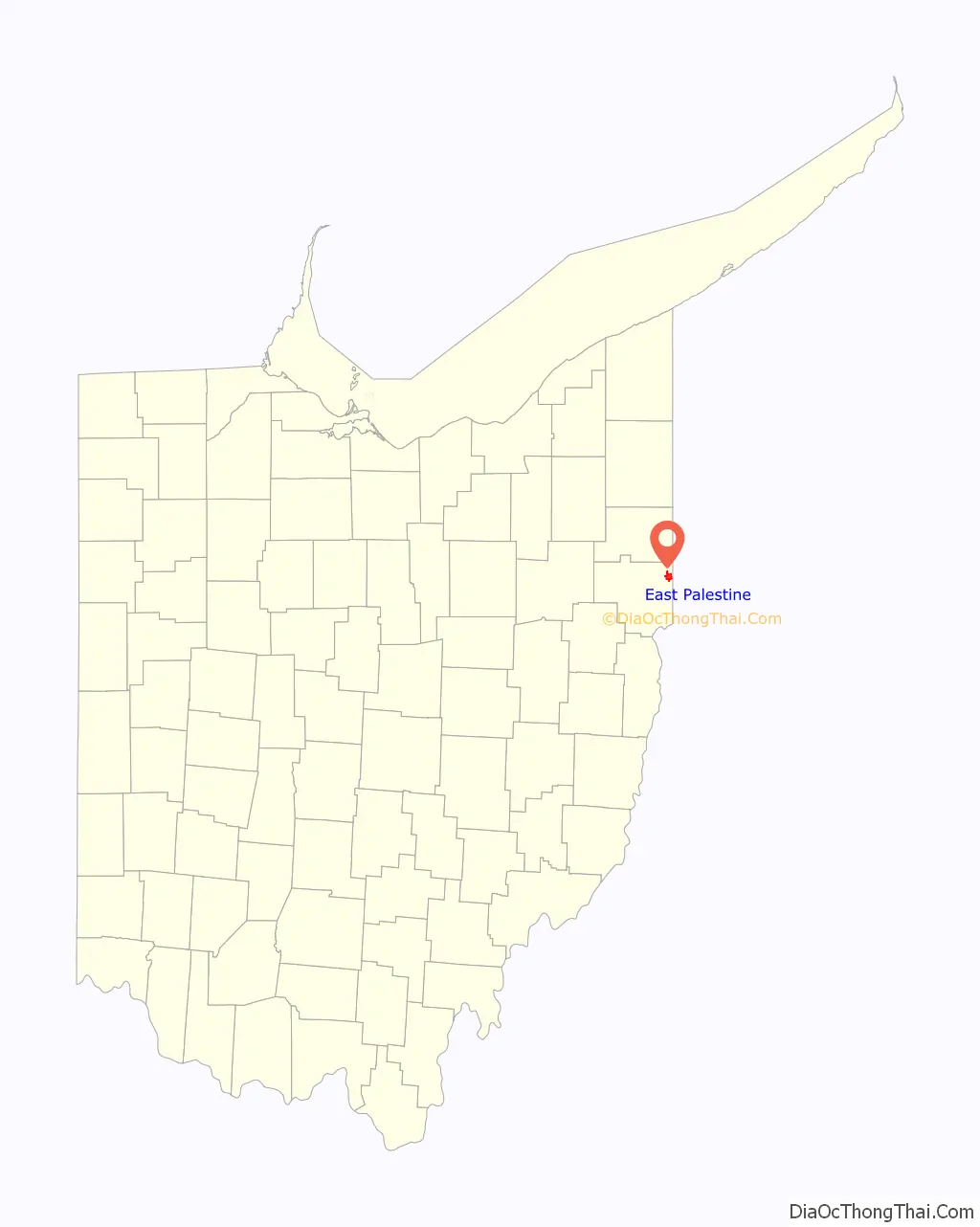
East Palestine (/ˌpæləˈstiːn/ PAL-ə-STEEN) is a village in northeastern Columbiana County, Ohio, United States. The population was 4,761 at the 2020 census. Located on the state’s border with Pennsylvania, East Palestine is about 20 miles (32 km) south of Youngstown and 40 miles (64 km) northwest of Pittsburgh. It is part of the Salem micropolitan area.
The city was home to industries in ceramics and tire manufacturing from the 1870s until the mid-1960s. East Palestine is located along the Norfolk Southern Railway and has a freight train station. On February 3, 2023, the village was near the site of a major derailment that spilled vinyl chloride and triggered significant evacuations in the jurisdiction.
| Name: | East Palestine village |
|---|---|
| LSAD Code: | 47 |
| LSAD Description: | village (suffix) |
| State: | Ohio |
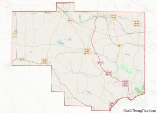
| County: | Columbiana County |
| Founded: | 1828 (Mechanicsburg) |
| Incorporated: | 1875 (East Palestine) |
| Elevation: | 997 ft (304 m) |
| Total Area: | 3.15 sq mi (8.16 km²) |
| Land Area: | 3.15 sq mi (8.16 km²) |
| Water Area: | 0.00 sq mi (0.00 km²) |
| Total Population: | 4,761 |
| Population Density: | 1,510.47/sq mi (583.25/km²) |
| ZIP code: | 44413 |
| Area code: | 330, 234 |
| FIPS code: | 3923940 |
| Website: | eastpalestine-oh.gov |
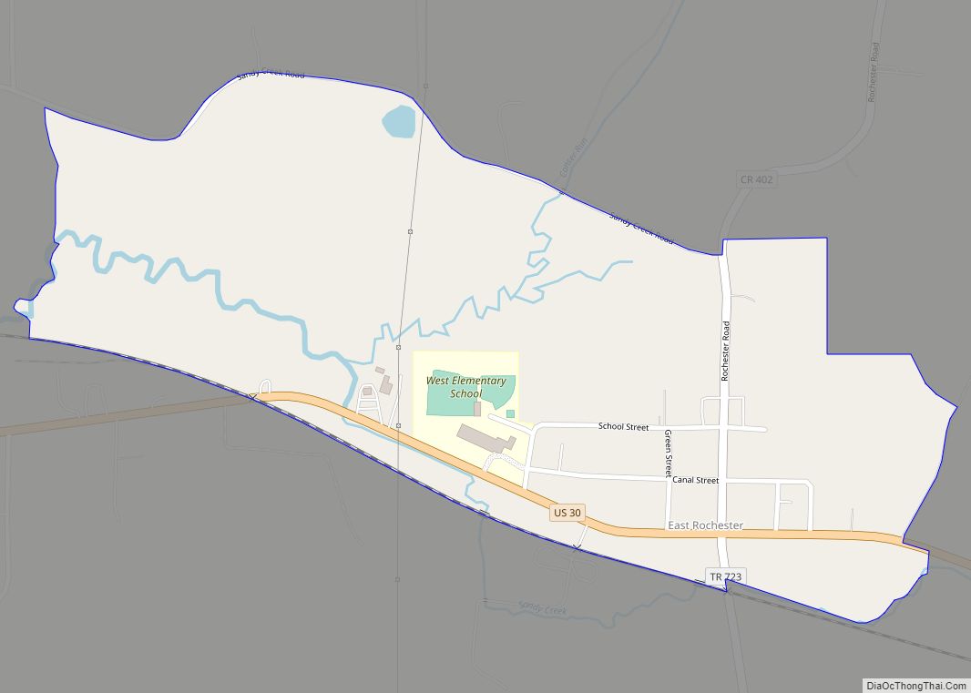
Online Interactive Map
Click on ![]() to view map in "full screen" mode.
to view map in "full screen" mode.
East Palestine location map. Where is East Palestine village?
History
East Palestine was platted in 1828 by Thomas McCalla and William Grate, initially known as Mechanicsburg. In 1833, it was renamed after the Middle Eastern region of Palestine. The name was changed as part of a religious nomenclature in the area, including communities such as Enon Valley, Medina, New Galilee and Salem. However, Palestine, Ohio, was already an incorporated community in the western part of the state, so the town was incorporated as East Palestine in 1875. Having reached a population of 5,000, East Palestine operated as a statutory city from 1920 until 2011 when it reverted to village status because of declining population.
By the 1920s, railroad facilities of the city consisted of the four-track Pennsylvania Railroad system. Switches from the Pittsburgh, Lisbon, and Western Railroad within one mile of the corporation limits connected with the Pittsburgh and Lake Erie Railroad and New York Central Railroad. The city’s leading industries were the manufacture of pottery and automobile tires by the W. S. George Pottery Company and the Edwin C. McGraw Tire Company. However, factories also existed that produced steel tanks, foundry work, electrical refractories, food products, electric wiring devices, wooden ventilators, fireproofing material, synthetic ice, and lumber. Around this time, East Palestine began to start an economy in orcharding, which still survives today. Large storage and preserving facilities made East Palestine the leading city for orchards in the area.
East Palestine became a qualified Tree City USA as recognized by the National Arbor Day Foundation in 2004.
2023 train derailment
On February 3, 2023, an explosion and fire occurred following the derailment of a Norfolk Southern freight train carrying hazardous chemicals on the eastern end of town. A state of emergency was declared by the village council on February 4. An evacuation area was extended by Ohio Governor Mike DeWine on February 6 to allow for “a controlled release of vinyl chloride” and burning it in a nearby trench. Some residents subsequently started a class-action lawsuit against Norfolk Southern, citing new respiratory issues and unknown environmental impacts.
East Palestine Road Map

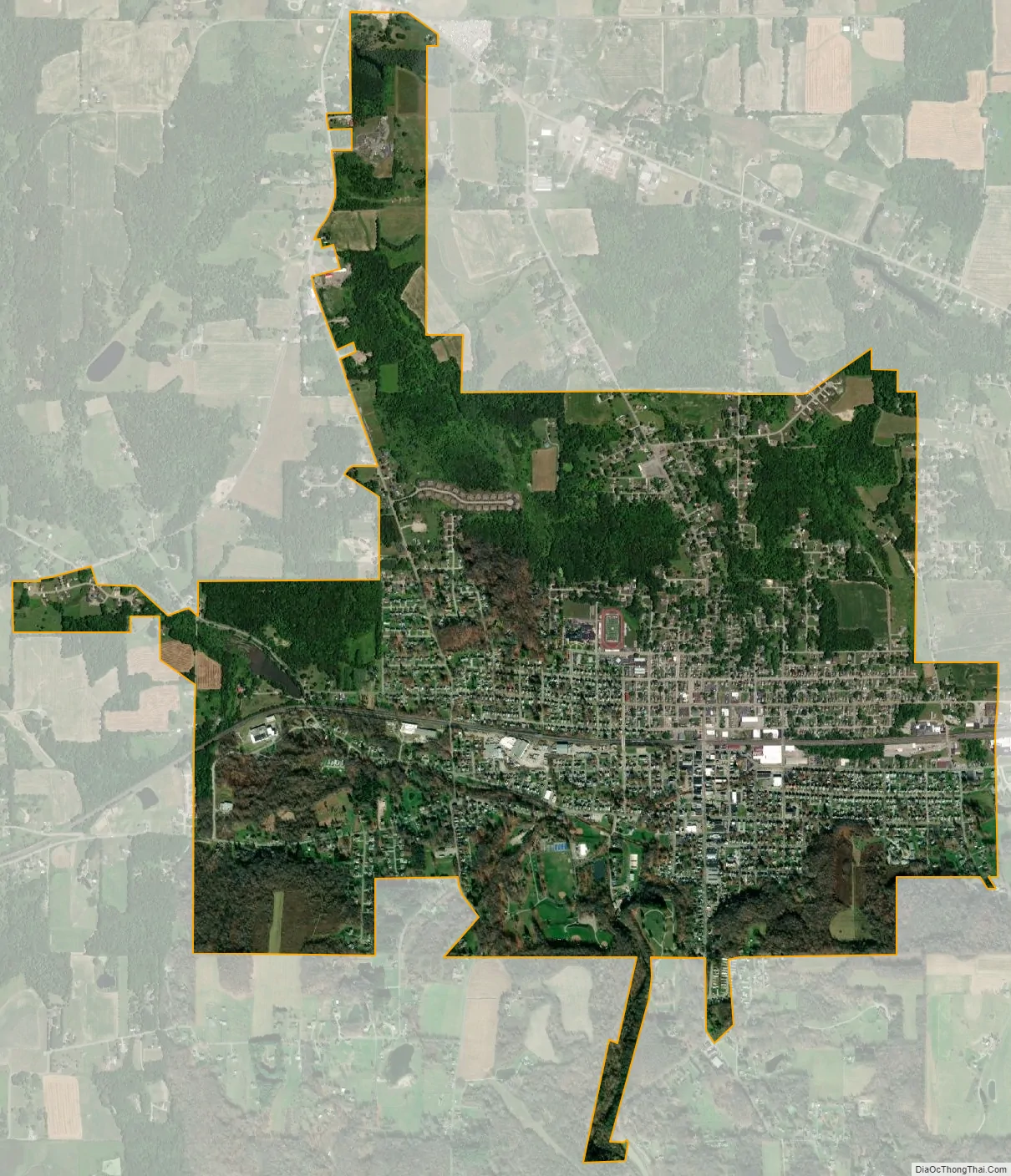
East Palestine city Satellite Map
Geography
East Palestine is located along the eastern boundary of Columbiana County, almost touching Darlington Township, Pennsylvania. The village is part of Unity Township.
The following highways pass through East Palestine:
- State Route 46
- State Route 165
- State Route 170
- State Route 558
According to the United States Census Bureau, East Palestine has a total area of 3.15 square miles (8.16 km), all land. Two streams pass through the village; Leslie Run and Sulphur Run.
See also
Map of Ohio State and its subdivision:- Adams
- Allen
- Ashland
- Ashtabula
- Athens
- Auglaize
- Belmont
- Brown
- Butler
- Carroll
- Champaign
- Clark
- Clermont
- Clinton
- Columbiana
- Coshocton
- Crawford
- Cuyahoga
- Darke
- Defiance
- Delaware
- Erie
- Fairfield
- Fayette
- Franklin
- Fulton
- Gallia
- Geauga
- Greene
- Guernsey
- Hamilton
- Hancock
- Hardin
- Harrison
- Henry
- Highland
- Hocking
- Holmes
- Huron
- Jackson
- Jefferson
- Knox
- Lake
- Lake Erie
- Lawrence
- Licking
- Logan
- Lorain
- Lucas
- Madison
- Mahoning
- Marion
- Medina
- Meigs
- Mercer
- Miami
- Monroe
- Montgomery
- Morgan
- Morrow
- Muskingum
- Noble
- Ottawa
- Paulding
- Perry
- Pickaway
- Pike
- Portage
- Preble
- Putnam
- Richland
- Ross
- Sandusky
- Scioto
- Seneca
- Shelby
- Stark
- Summit
- Trumbull
- Tuscarawas
- Union
- Van Wert
- Vinton
- Warren
- Washington
- Wayne
- Williams
- Wood
- Wyandot
- Alabama
- Alaska
- Arizona
- Arkansas
- California
- Colorado
- Connecticut
- Delaware
- District of Columbia
- Florida
- Georgia
- Hawaii
- Idaho
- Illinois
- Indiana
- Iowa
- Kansas
- Kentucky
- Louisiana
- Maine
- Maryland
- Massachusetts
- Michigan
- Minnesota
- Mississippi
- Missouri
- Montana
- Nebraska
- Nevada
- New Hampshire
- New Jersey
- New Mexico
- New York
- North Carolina
- North Dakota
- Ohio
- Oklahoma
- Oregon
- Pennsylvania
- Rhode Island
- South Carolina
- South Dakota
- Tennessee
- Texas
- Utah
- Vermont
- Virginia
- Washington
- West Virginia
- Wisconsin
- Wyoming