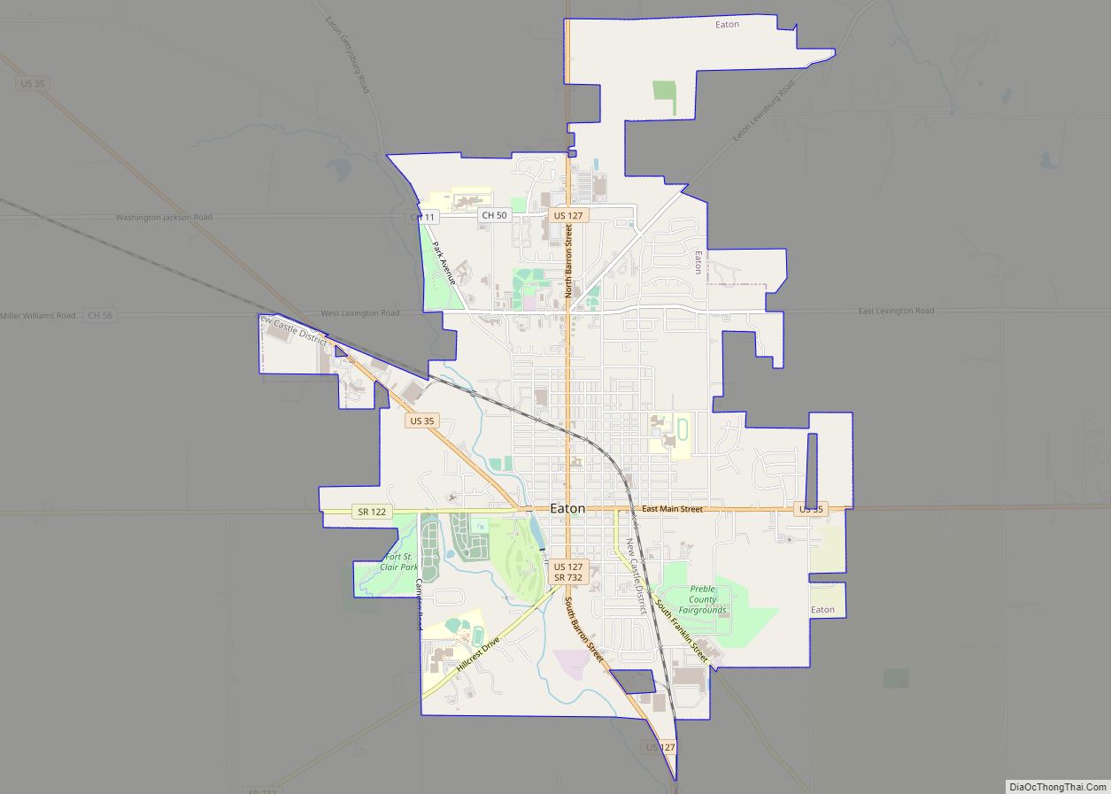
Eaton is a city in, and the county seat of Preble County, Ohio, United States, approximately 24 mi (38 km) west of Dayton. The population was 8,375 at the 2020 census, down 0.4% from the population of 8,407 at the 2010 census. Eaton’s sister city is Rödental bei Coburg (Germany).
| Name: | Eaton city |
|---|---|
| LSAD Code: | 25 |
| LSAD Description: | city (suffix) |
| State: | Ohio |
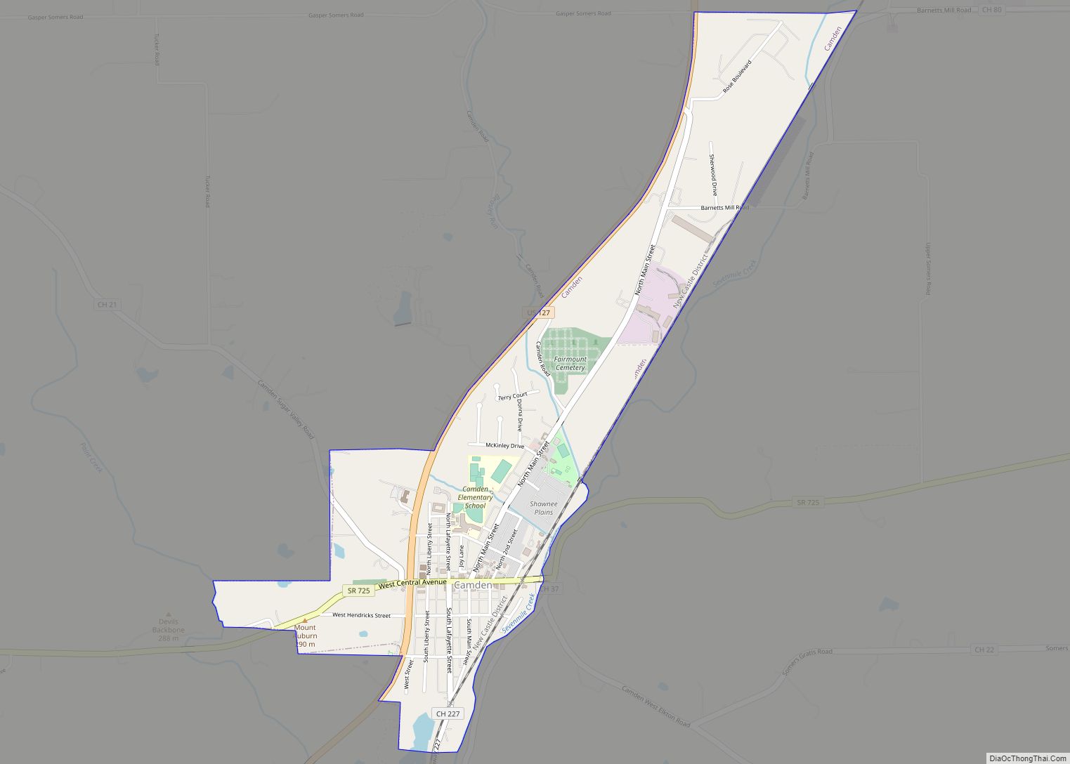
| County: | Preble County |
| Elevation: | 1,040 ft (320 m) |
| Total Area: | 6.43 sq mi (16.67 km²) |
| Land Area: | 6.43 sq mi (16.65 km²) |
| Water Area: | 0.01 sq mi (0.02 km²) 0.16% |
| Total Population: | 8,375 |
| Population Density: | 1,303.10/sq mi (503.12/km²) |
| Area code: | 937, 326 |
| FIPS code: | 3924234 |
| GNISfeature ID: | 1040043 |
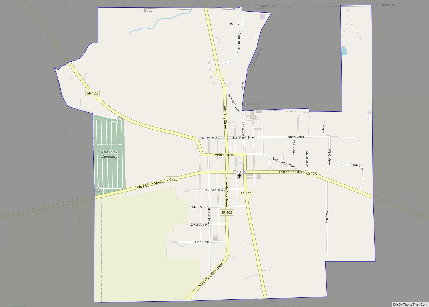
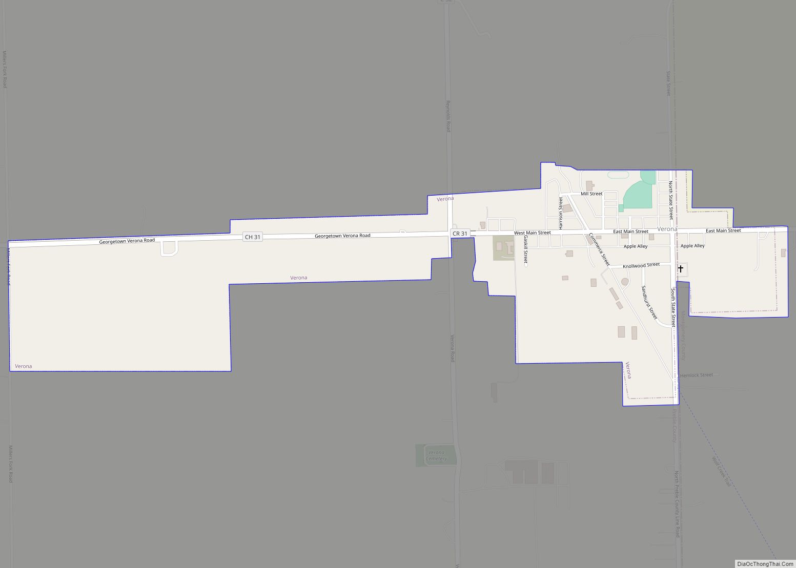
Online Interactive Map
Click on ![]() to view map in "full screen" mode.
to view map in "full screen" mode.
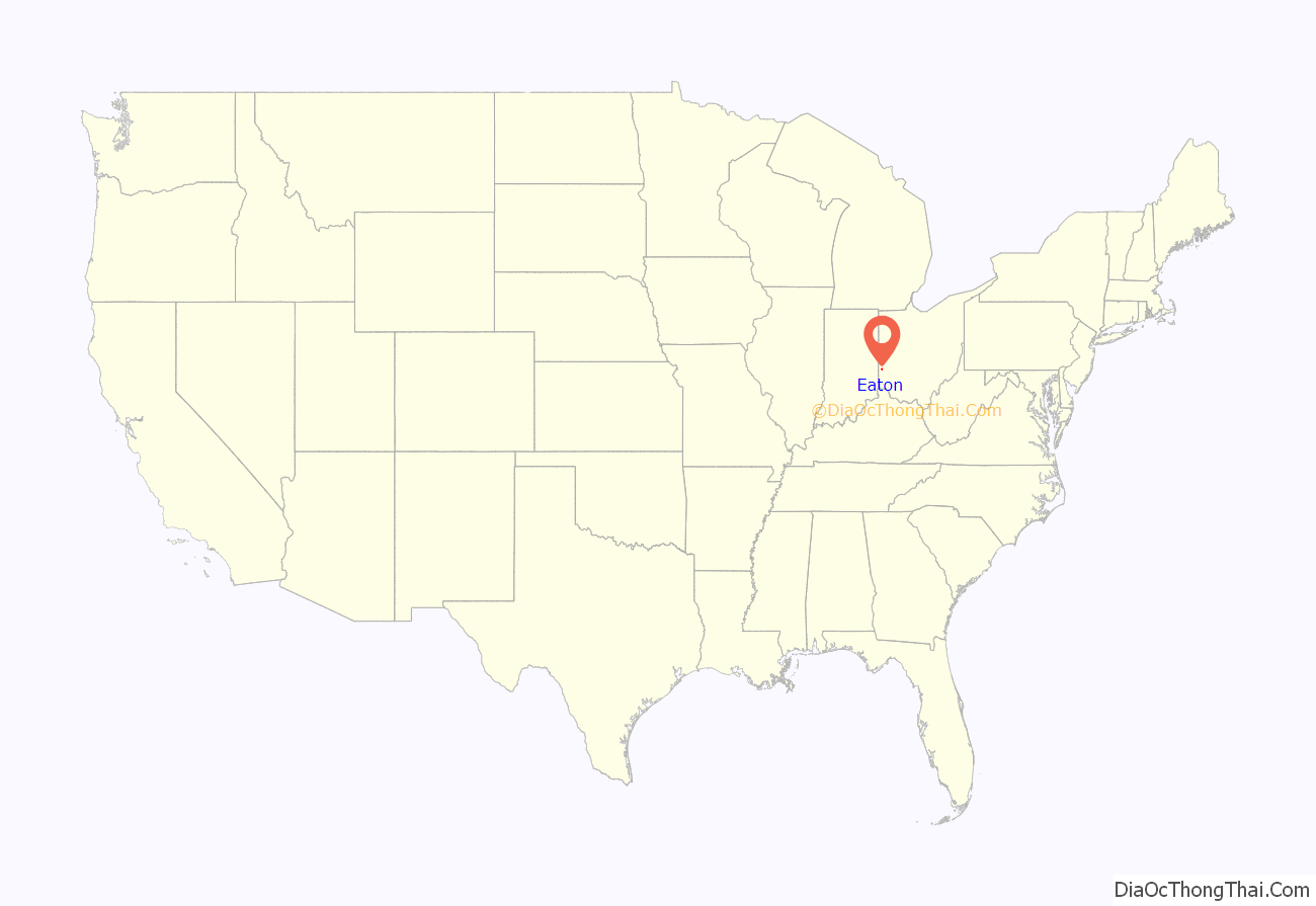
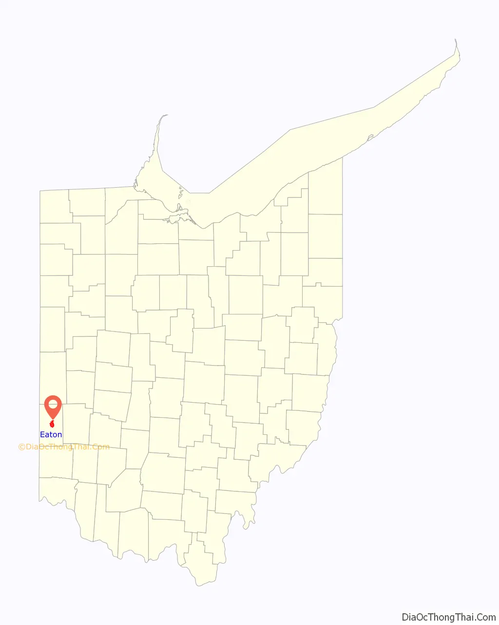
Eaton location map. Where is Eaton city?
History
Eaton was founded and platted in 1806 by William Bruce. The village derives its name from Gen. William Eaton (1764–1811), the U.S. Consul at Tunis, who led a diverse army in a harrowing march from Egypt to Tripoli to meet the U.S. Naval forces. In addition to the city of Eaton and the county of Preble, various streets in Eaton (Barron, Decatur, Israel, Wadsworth, and Somers) were named in honor of heroes of the First Barbary War and the Second Barbary War.
The town grew quickly following its establishment. In 1846, the town first had 1000 inhabitants. This growth was primarily derived from the town’s location at the strategic junction of two turnpikes. In 1849, Eaton was the site of a cholera outbreak. About half of the inhabitants fled; of the remaining 600 people, 120 died.[1]
19th century fire
In June 1859 a fire in Eaton destroyed thirteen of its primary business establishments. The total loss was estimated at $40,000 to $50,000. Caused by incendiaries, the fire scorched the courthouse and left it a brown color. The disaster was first reported by the Cincinnati Commercial.
Eaton Road Map
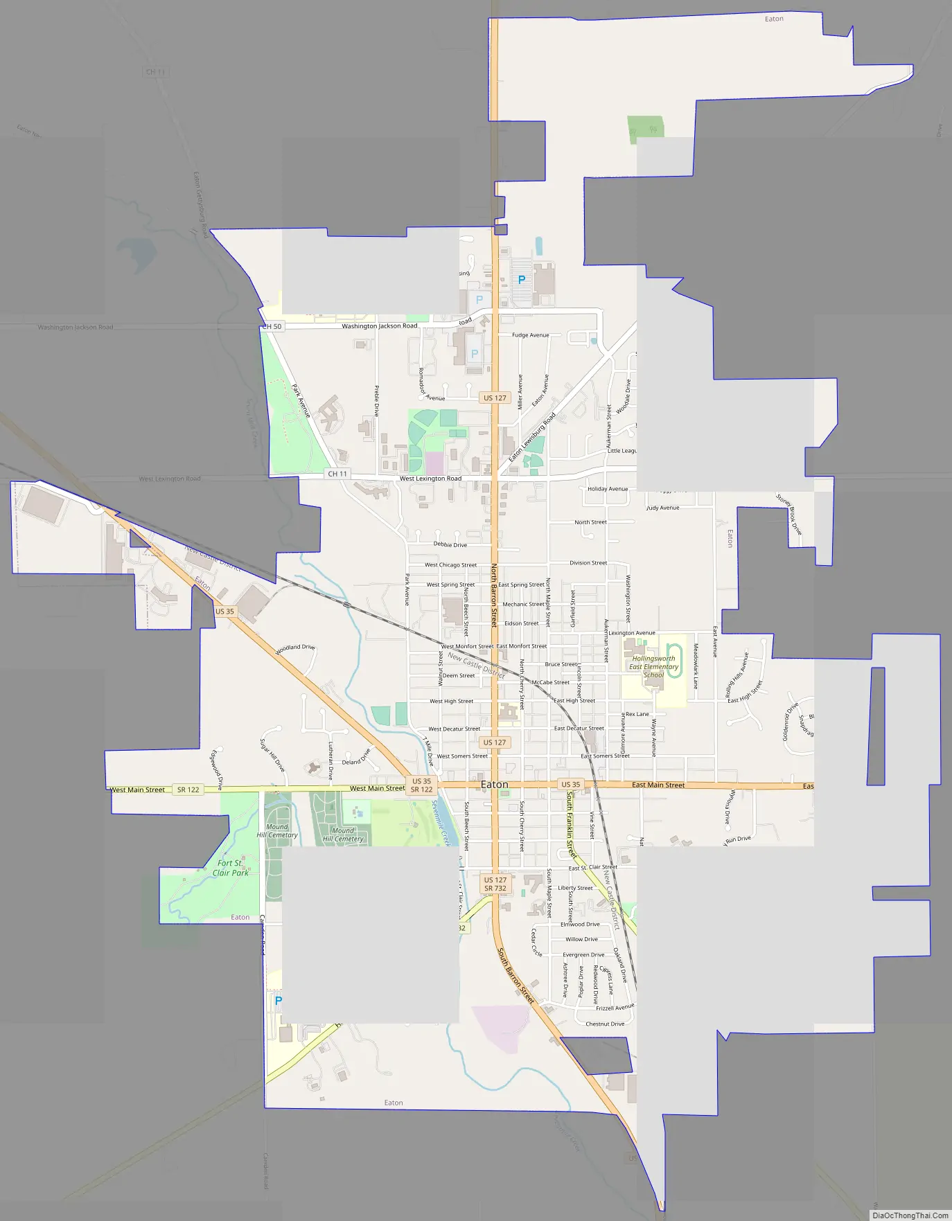
Eaton city Satellite Map
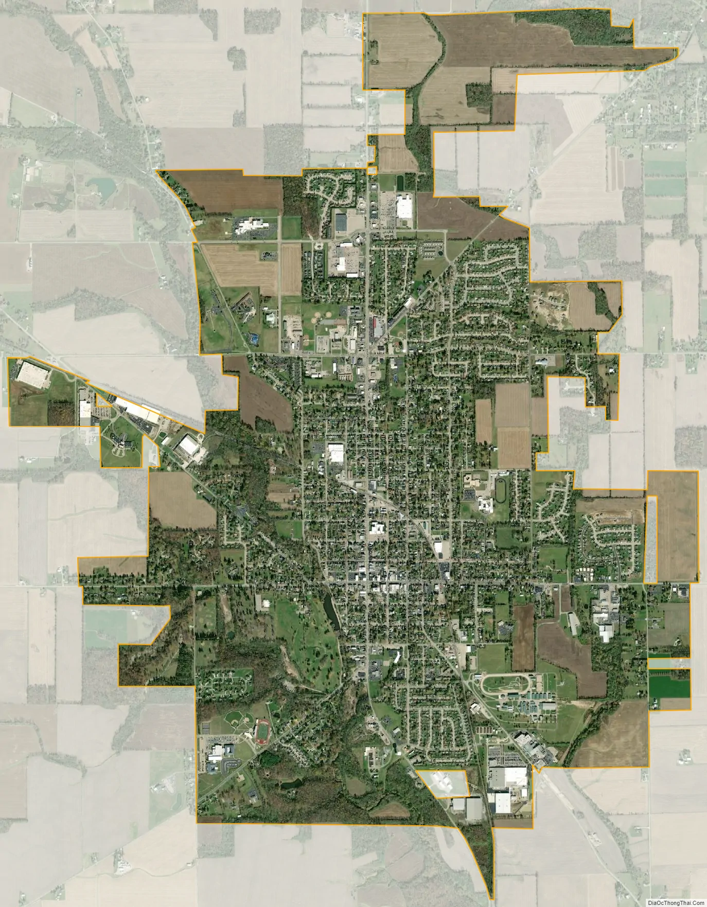
Geography
According to the United States Census Bureau, the city has a total area of 6.20 square miles (16.06 km), of which 6.19 square miles (16.03 km) is land and 0.01 square miles (0.03 km) is water.
The city includes Crystal Lake and Seven Mile Creek. Parks include: Fort St. Clair, Water Works Park, 7-Mile Park, and Clarence Hook Memorial Park.
See also
Map of Ohio State and its subdivision:- Adams
- Allen
- Ashland
- Ashtabula
- Athens
- Auglaize
- Belmont
- Brown
- Butler
- Carroll
- Champaign
- Clark
- Clermont
- Clinton
- Columbiana
- Coshocton
- Crawford
- Cuyahoga
- Darke
- Defiance
- Delaware
- Erie
- Fairfield
- Fayette
- Franklin
- Fulton
- Gallia
- Geauga
- Greene
- Guernsey
- Hamilton
- Hancock
- Hardin
- Harrison
- Henry
- Highland
- Hocking
- Holmes
- Huron
- Jackson
- Jefferson
- Knox
- Lake
- Lake Erie
- Lawrence
- Licking
- Logan
- Lorain
- Lucas
- Madison
- Mahoning
- Marion
- Medina
- Meigs
- Mercer
- Miami
- Monroe
- Montgomery
- Morgan
- Morrow
- Muskingum
- Noble
- Ottawa
- Paulding
- Perry
- Pickaway
- Pike
- Portage
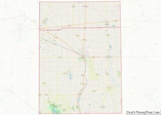
- Preble
- Putnam
- Richland
- Ross
- Sandusky
- Scioto
- Seneca
- Shelby
- Stark
- Summit
- Trumbull
- Tuscarawas
- Union
- Van Wert
- Vinton
- Warren
- Washington
- Wayne
- Williams
- Wood
- Wyandot
- Alabama
- Alaska
- Arizona
- Arkansas
- California
- Colorado
- Connecticut
- Delaware
- District of Columbia
- Florida
- Georgia
- Hawaii
- Idaho
- Illinois
- Indiana
- Iowa
- Kansas
- Kentucky
- Louisiana
- Maine
- Maryland
- Massachusetts
- Michigan
- Minnesota
- Mississippi
- Missouri
- Montana
- Nebraska
- Nevada
- New Hampshire
- New Jersey
- New Mexico
- New York
- North Carolina
- North Dakota
- Ohio
- Oklahoma
- Oregon
- Pennsylvania
- Rhode Island
- South Carolina
- South Dakota
- Tennessee
- Texas
- Utah
- Vermont
- Virginia
- Washington
- West Virginia
- Wisconsin
- Wyoming