Dublin is a city in Franklin, Delaware and Union counties in the U.S. state of Ohio. The population was 49,328 at the 2020 census. It is a suburb of Columbus. The city of Dublin hosts the yearly Memorial Tournament at the Muirfield Village Golf Club. The Dublin Irish Festival (called Dublin Irish Days in 2021) advertises itself as the largest three-day Irish festival in the world.
| Name: | Dublin city |
|---|---|
| LSAD Code: | 25 |
| LSAD Description: | city (suffix) |
| State: | Ohio |
| County: | Delaware County, Franklin County, Union County |
| Elevation: | 830 ft (253 m) |
| Land Area: | 24.68 sq mi (63.92 km²) |
| Water Area: | 0.36 sq mi (0.93 km²) 1.45% |
| Population Density: | 1,998.62/sq mi (771.67/km²) |
| Area code: | 614 and 380 |
| FIPS code: | 3922694 |
| GNISfeature ID: | 1056264 |
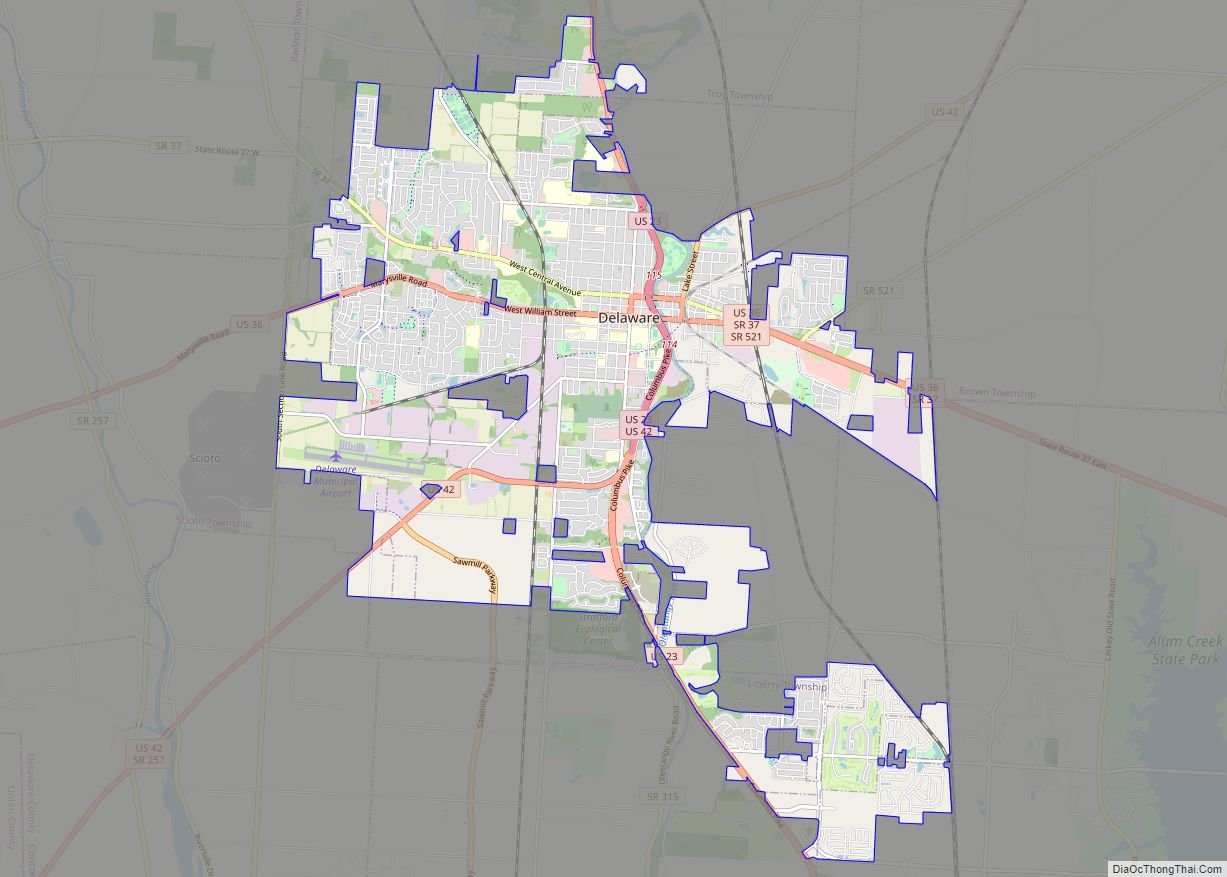
Online Interactive Map
Click on ![]() to view map in "full screen" mode.
to view map in "full screen" mode.
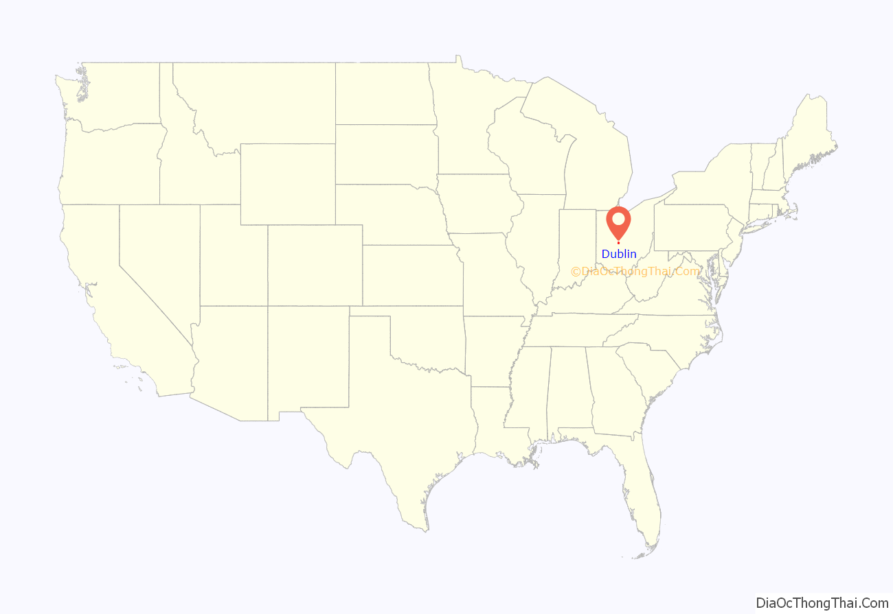
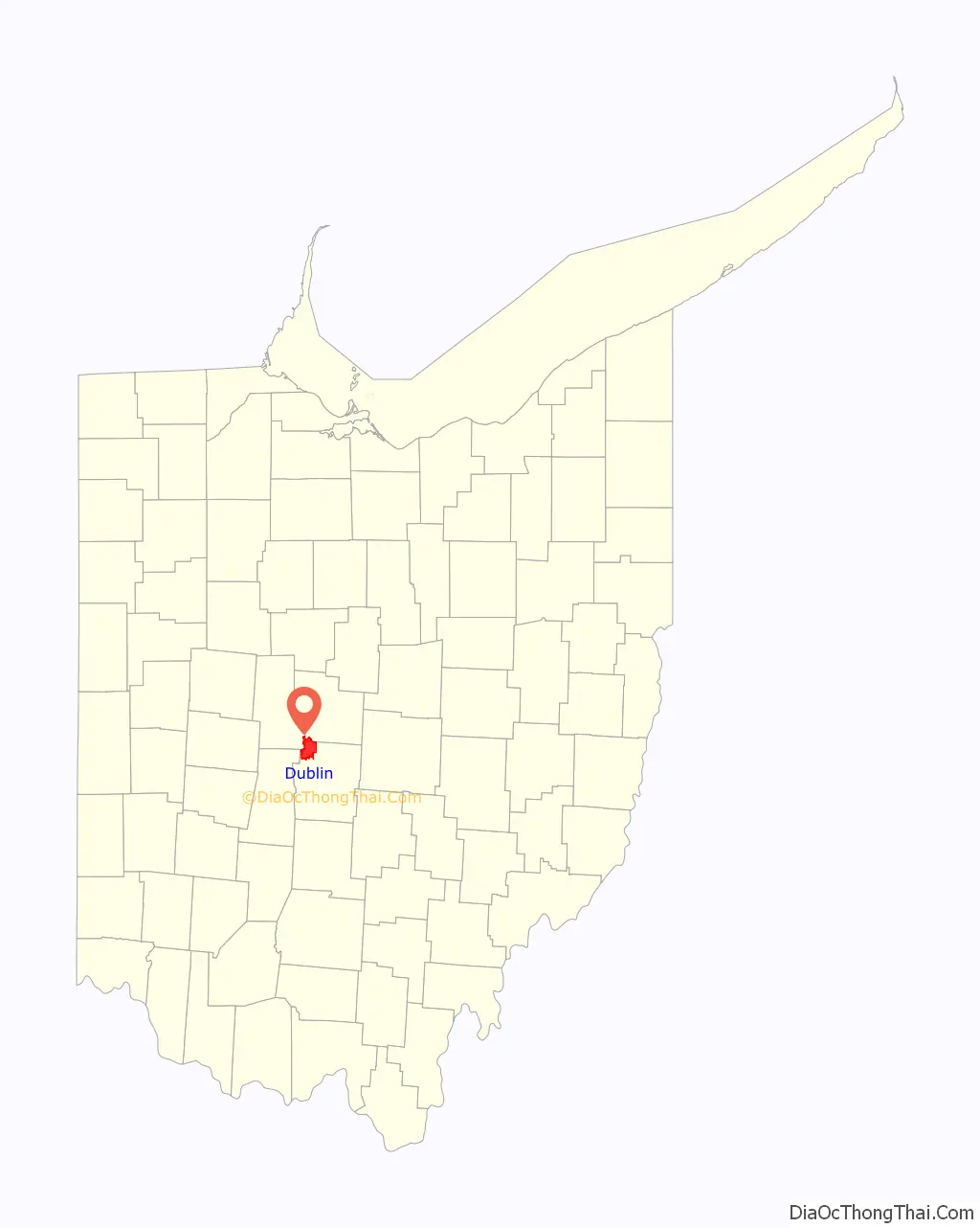
Dublin location map. Where is Dublin city?
History
Native Americans
Native Americans from the Hopewell, Adena, Delaware, Shawnee, and Wyandot were among the first known inhabitants of the countryside that was to become Dublin, Ohio.
The Wyandots had moved to the Ohio countryside after being decimated by disease and a disastrous war with the Five Nations of the Iroquois in their homeland near Georgian Bay. In 1794, General Anthony Wayne defeated the Wyandots and other Ohio American Indian peoples at the Battle of Fallen Timbers, leading to the Wyandot surrendering most of their land in Ohio with the signing of the Treaty of Greenville.
Chief Shateyaronyah, an important leader known to locals as “Leatherlips”, signed the Treaty of Greenville on August 3, 1795, and encouraged cooperation with white settlers near the end of his life. That policy of accommodating Europeans led to conflict with a movement led by two Shawnee brothers, Tecumseh and Tenskwatawa (The Prophet). Tenskwatawa reacted strongly against Leatherlips and condemned him to death for signing away native lands, and for “witchcraft”. More likely was that this was for his refusal to join the Shawnee. Rather than break the pledge that he signed in 1795, Leatherlips was killed in 1810. The Leatherlips sculpture in Scioto Park was created to honor Chief Shateyaronyah in 1990.
After the Revolutionary War, the United States Government gave 2,000 acres (810 ha) of land along the Scioto River to Lieutenant James Holt as payment for his service. In 1802, Peter and Benjamin Sells from Huntingdon, Pennsylvania, purchased 400 acres (160 ha) of this land for their brother, John. Today, the site of the John Sells’ original purchase is known as Historic Dublin.
Post-Ohio statehood
In 1808, John Sells brought his family to the region, and by 1810, he had begun to survey lots for the new village with his business partner, an Irish gentleman named John Shields. According to historians, Shields is responsible for naming the town after his birthplace:
In 1833, Dublin contained several mills and one store, and was incorporated in 1881.
In 1970, Dublin was still a small town with only 681 residents. However, the construction of Interstate 270 facilitated a population boom, spearheaded by the acquisition of major corporate headquarters such as Ashland Inc and Wendy’s International. In addition, the growth of the Muirfield Village Golf Club and its residential subdivision attracted numerous affluent citizens to the rapidly growing suburb. It was then officially declared a city in August 1987, after reaching a population of 5,000 residents. As part of this boom Dublin significantly expanded its area, annexing parts of Washington, Perry, Concord, and Jerome townships.
In 2017, out of over 15,000 towns and neighborhoods in the U.S., Dublin was ranked 6th best place to live in the United States. In 2020, Wallethub ranked Dublin the 12th Best Small City in America.
In 2020, the city began redeveloping the Bridge Street District. The 1,100-acre (450 ha) project includes 400 apartments and condominiums, retail, offices, and other space along the Scioto River.
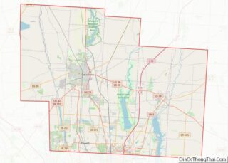
Dublin Road Map
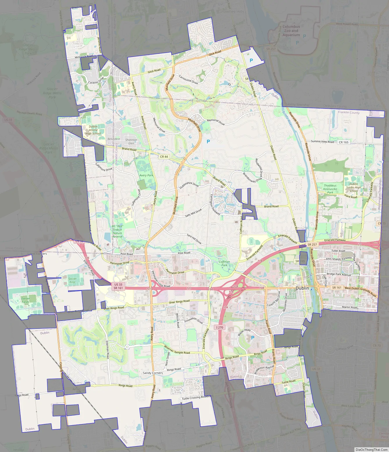
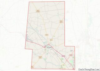
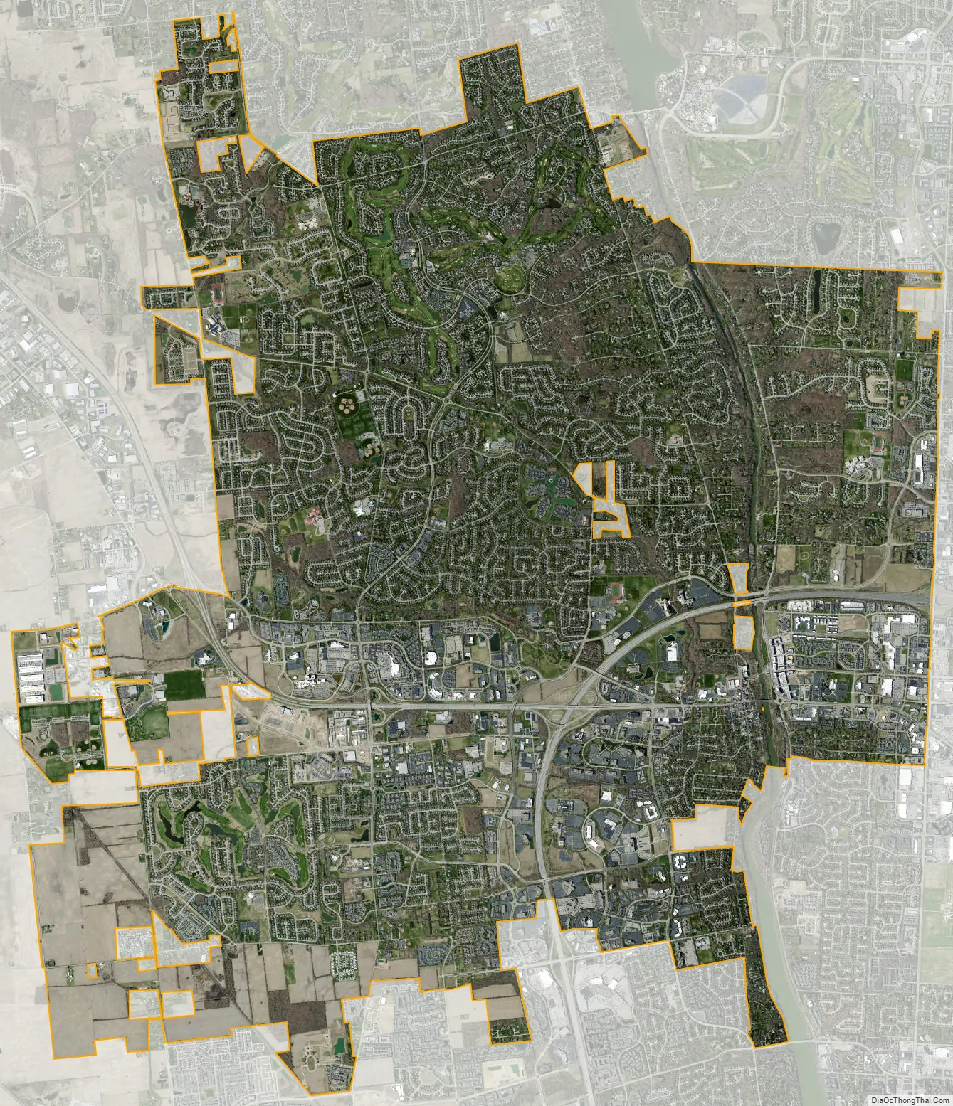
Dublin city Satellite Map
Geography
According to the United States Census Bureau, the city has a total area of 24.80 square miles (64.23 km), of which 24.44 square miles (63.30 km) is land and 0.36 square miles (0.93 km) is water.
The Scioto River passes through Dublin. In this area the river and its tributaries cut deep gorges through the limestone bedrock, and the riverbed is stony. Some of these tributaries feature waterfalls.
Topography
Located on the Glaciated Allegheny Plateau, Dublin has a relatively flat topography. Nevertheless, there are numerous ravines surrounding the tributaries of the Scioto River, which make for steep cliffs in some areas. Elevations range from 780 feet (240 m) above sea level where the Scioto River leaves the city at Hayden Run Road, while the high point is 1,000 feet (300 m) at Glacier Ridge Metro Park.
See also
Map of Ohio State and its subdivision:- Adams
- Allen
- Ashland
- Ashtabula
- Athens
- Auglaize
- Belmont
- Brown
- Butler
- Carroll
- Champaign
- Clark
- Clermont
- Clinton
- Columbiana
- Coshocton
- Crawford
- Cuyahoga
- Darke
- Defiance
- Delaware
- Erie
- Fairfield
- Fayette
- Franklin
- Fulton
- Gallia
- Geauga
- Greene
- Guernsey
- Hamilton
- Hancock
- Hardin
- Harrison
- Henry
- Highland
- Hocking
- Holmes
- Huron
- Jackson
- Jefferson
- Knox
- Lake
- Lake Erie
- Lawrence
- Licking
- Logan
- Lorain
- Lucas
- Madison
- Mahoning
- Marion
- Medina
- Meigs
- Mercer
- Miami
- Monroe
- Montgomery
- Morgan
- Morrow
- Muskingum
- Noble
- Ottawa
- Paulding
- Perry
- Pickaway
- Pike
- Portage
- Preble
- Putnam
- Richland
- Ross
- Sandusky
- Scioto
- Seneca
- Shelby
- Stark
- Summit
- Trumbull
- Tuscarawas
- Union
- Van Wert
- Vinton
- Warren
- Washington
- Wayne
- Williams
- Wood
- Wyandot
- Alabama
- Alaska
- Arizona
- Arkansas
- California
- Colorado
- Connecticut
- Delaware
- District of Columbia
- Florida
- Georgia
- Hawaii
- Idaho
- Illinois
- Indiana
- Iowa
- Kansas
- Kentucky
- Louisiana
- Maine
- Maryland
- Massachusetts
- Michigan
- Minnesota
- Mississippi
- Missouri
- Montana
- Nebraska
- Nevada
- New Hampshire
- New Jersey
- New Mexico
- New York
- North Carolina
- North Dakota
- Ohio
- Oklahoma
- Oregon
- Pennsylvania
- Rhode Island
- South Carolina
- South Dakota
- Tennessee
- Texas
- Utah
- Vermont
- Virginia
- Washington
- West Virginia
- Wisconsin
- Wyoming