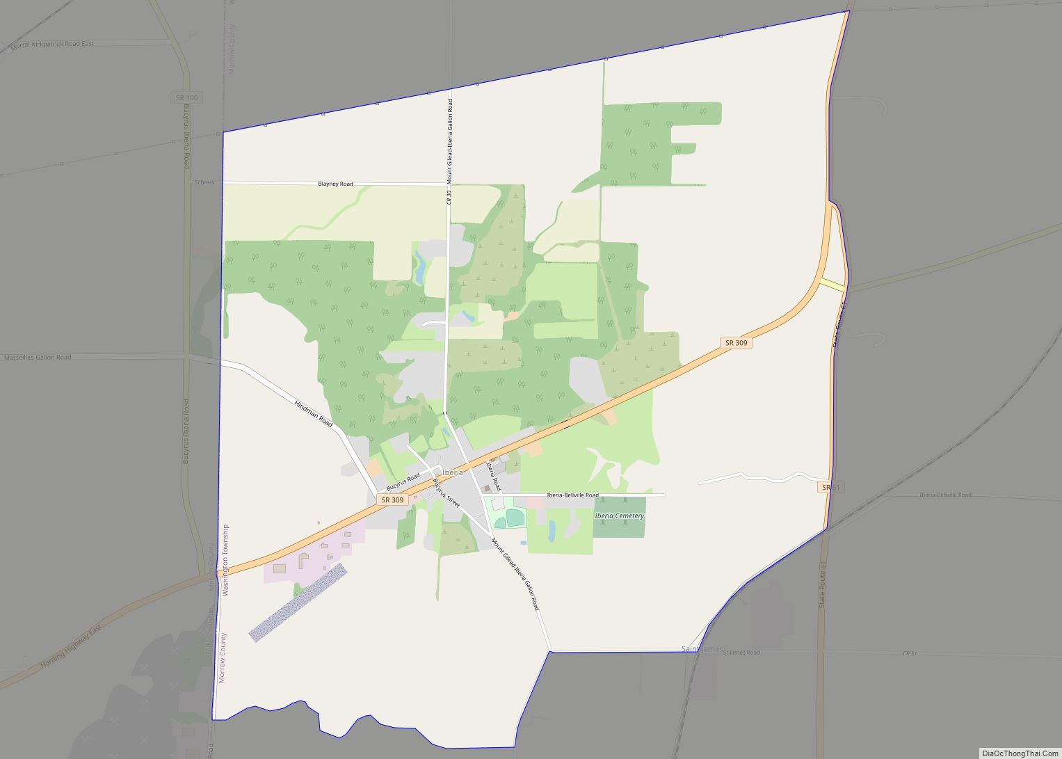
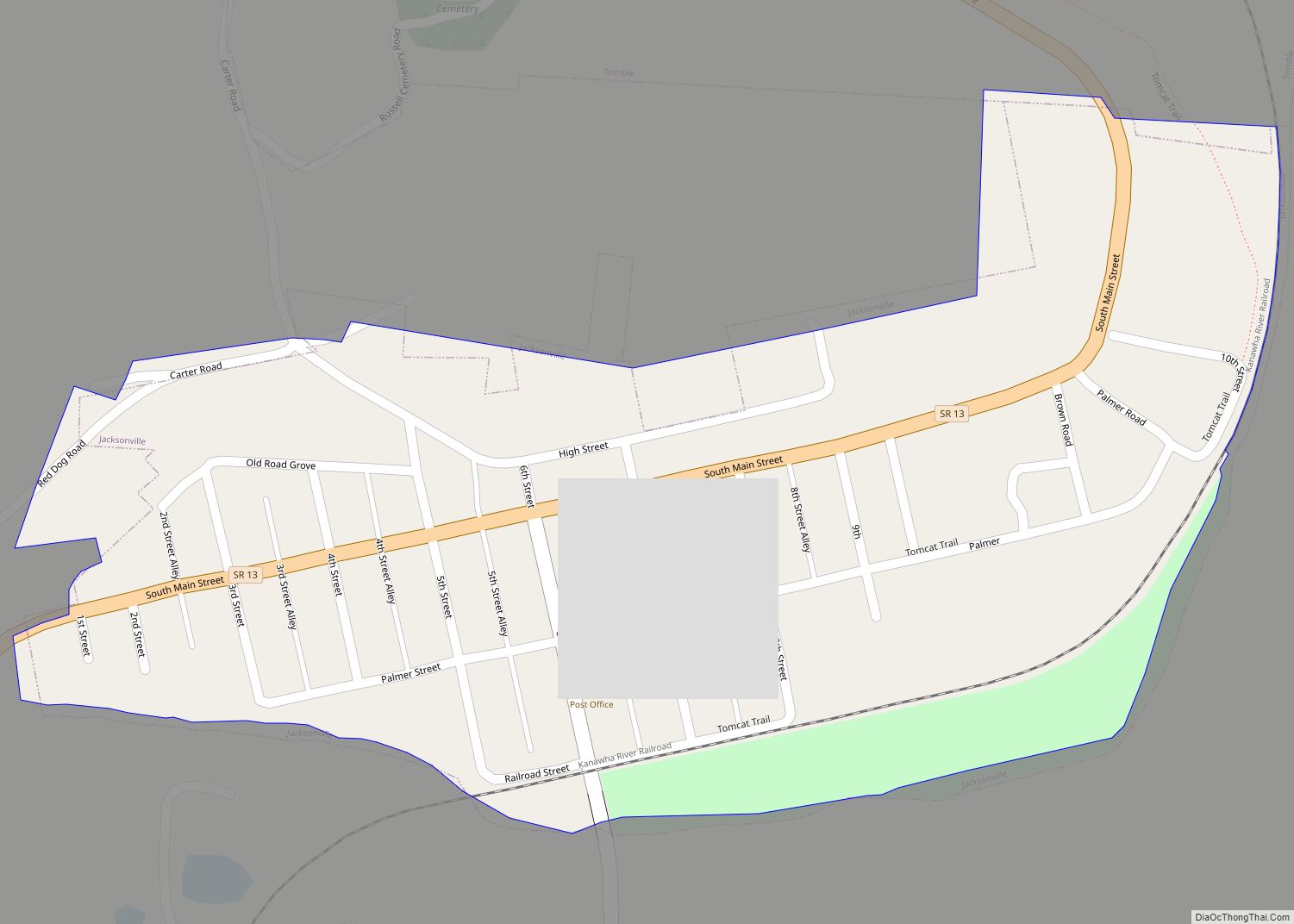
Map of Hunting Valley village
Hunting Valley is a village in Cuyahoga and Geauga counties in the U.S. state of Ohio. The population was 763 as of the 2020 census. An eastern suburb of Cleveland, it is part of the Cleveland metropolitan area. In 2000, Hunting Valley was ranked the 6th highest-income place in the United States. It was the ... Read more
Map of Hunting Valley village
Map of Hunter CDP, Ohio
Hunter is a census-designated place (CDP) in Franklin Township, Warren County, Ohio, United States. The population was 3,363 at the 2020 census. Hunter CDP overview: Name: Hunter CDP LSAD Code: 57 LSAD Description: CDP (suffix) State: Ohio County: Warren County Elevation: 886 ft (270 m) Total Area: 2.16 sq mi (5.60 km²) Land Area: 2.16 sq mi (5.60 km²) Water Area: 0.00 sq mi (0.00 km²) ... Read more
Map of Hunter CDP, Ohio
Map of Hudson city, Ohio
Hudson is a city in Summit County, Ohio, United States. The population was 23,110 at the 2020 census. It is a suburban community in the Akron metropolitan area. John Brown made his first public vow to destroy slavery here and it became part of the Underground Railroad. The Village of Hudson and Hudson Township were ... Read more
Map of Hudson city, Ohio
Map of Jefferson village, Ohio
Jefferson is a village in and the county seat of Ashtabula County, Ohio, United States. The population was 3,226 at the 2020 census. It is part of the Ashtabula micropolitan area, 50 miles (80 km) northeast of Cleveland. Modern-day Jefferson sports the world’s only perambulator museum and a historical complex including several restored 19th-century buildings. Joshua ... Read more
Map of Jefferson village, Ohio
Map of Jamestown village, Ohio
Jamestown is a village in Greene County, Ohio, United States. The population was 1,993 at the 2010 census. Joshua Bradley is the current mayor. Jamestown is part of the Dayton Metropolitan Statistical Area. Jamestown village overview: Name: Jamestown village LSAD Code: 47 LSAD Description: village (suffix) State: Ohio County: Greene County Elevation: 1,060 ft (320 m) Total ... Read more
Map of Jamestown village, Ohio
Map of Jacksonville village, Ohio
Jacksonville is a village in Athens County, Ohio, United States. The population was 400 at the 2020 census. Jacksonville village overview: Name: Jacksonville village LSAD Code: 47 LSAD Description: village (suffix) State: Ohio County: Athens County Elevation: 686 ft (209 m) Total Area: 0.24 sq mi (0.64 km²) Land Area: 0.24 sq mi (0.62 km²) Water Area: 0.01 sq mi (0.01 km²) Total Population: 400 Population ... Read more
Map of Jacksonville village, Ohio
Map of Jacksonburg village, Ohio
Jacksonburg is a small village in Butler County, Ohio, United States. The population was 55 at the 2020 census. Jacksonburg village overview: Name: Jacksonburg village LSAD Code: 47 LSAD Description: village (suffix) State: Ohio County: Butler County Elevation: 961 ft (293 m) Total Area: 0.02 sq mi (0.05 km²) Land Area: 0.02 sq mi (0.05 km²) Water Area: 0.00 sq mi (0.00 km²) Total Population: 55 ... Read more
Map of Jacksonburg village, Ohio
Map of Jackson city, Ohio
Jackson is a city in and the county seat of Jackson County, Ohio, United States approximately 27 mi (43 km) SE of Chillicothe. The population was 6,239 at the 2020 census. Jackson city overview: Name: Jackson city LSAD Code: 25 LSAD Description: city (suffix) State: Ohio County: Jackson County Elevation: 692 ft (211 m) Total Area: 9.31 sq mi (24.12 km²) Land ... Read more
Map of Jackson city, Ohio
Map of Jackson Center village, Ohio
Jackson Center is a village in Shelby County, Ohio, United States. The population was 1,462 at the 2010 census. Jackson Center has been the home of the popular Airstream travel trailers and motor homes since 1952. Jackson Center is accessible from Interstate 75 at Exit 102, north of the Shelby County seat of Sidney. State ... Read more
Map of Jackson Center village, Ohio
Map of Ithaca village, Ohio
Ithaca is a village in Darke County, Ohio, United States. The population was 102 at the 2000 census and 136 in 2010. Ithaca village overview: Name: Ithaca village LSAD Code: 47 LSAD Description: village (suffix) State: Ohio County: Darke County Elevation: 1,033 ft (315 m) Total Area: 0.03 sq mi (0.08 km²) Land Area: 0.03 sq mi (0.08 km²) Water Area: 0.00 sq mi (0.00 km²) ... Read more
Map of Ithaca village, Ohio
Map of Ironton city, Ohio
Ironton is a city in and the county seat of Lawrence County, Ohio, United States. Located in southernmost Ohio along the Ohio River, it is 20 miles (32 km) northwest of Huntington, West Virginia. The population was 10,571 at the 2020 census. Ironton is part of the Huntington–Ashland metropolitan area. The city’s name is a contraction ... Read more
Map of Ironton city, Ohio
Map of Jenera village
Jenera is a village in Hancock County, Ohio, United States. The population was 221 at the 2010 census. Jenera village overview: Name: Jenera village LSAD Code: 47 LSAD Description: village (suffix) State: Ohio County: Hancock County Elevation: 853 ft (260 m) Total Area: 0.27 sq mi (0.69 km²) Land Area: 0.27 sq mi (0.69 km²) Water Area: 0.00 sq mi (0.00 km²) Total Population: 257 Population ... Read more
Map of Jenera village