Jackson is a city in and the county seat of Jackson County, Ohio, United States approximately 27 mi (43 km) SE of Chillicothe. The population was 6,239 at the 2020 census.
| Name: | Jackson city |
|---|---|
| LSAD Code: | 25 |
| LSAD Description: | city (suffix) |
| State: | Ohio |
| County: | Jackson County |
| Elevation: | 692 ft (211 m) |
| Total Area: | 9.31 sq mi (24.12 km²) |
| Land Area: | 9.05 sq mi (23.44 km²) |
| Water Area: | 0.26 sq mi (0.68 km²) |
| Total Population: | 6,252 |
| Population Density: | 690.68/sq mi (266.69/km²) |
| ZIP code: | 45640 |
| Area code: | 740 |
| FIPS code: | 3937842 |
| GNISfeature ID: | 1061427 |
| Website: | http://www.jacksonohio.us/ |
Online Interactive Map
Click on ![]() to view map in "full screen" mode.
to view map in "full screen" mode.
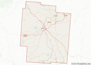
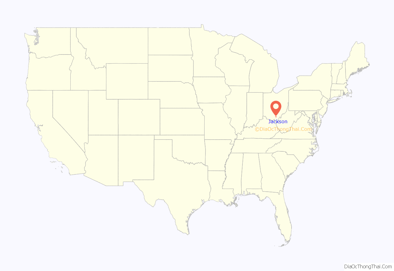
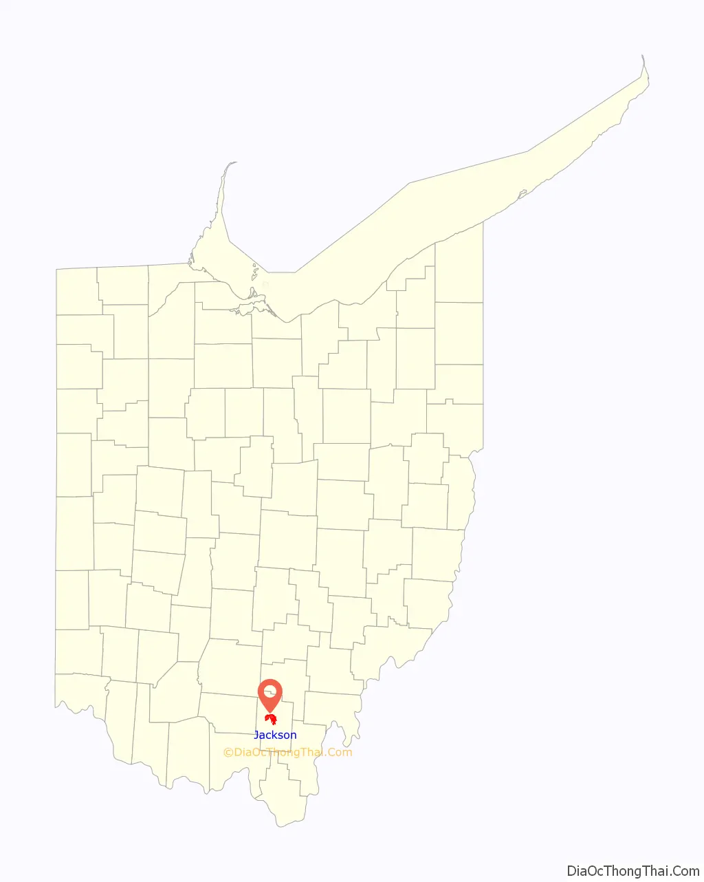
Jackson location map. Where is Jackson city?
History
Established in 1817, residents named the town after Andrew Jackson, a hero of the War of 1812, and an eventual president of the United States. The community grew slowly, having only 297 inhabitants in 1840. In 1846, Jackson contained four churches, about seven stores, and a single newspaper office. Over the next 40 years, the town grew quickly, attaining a population of 3,021 people in 1880. By 1880, two railroad lines passed through the community, helping to spur economic and population growth. In 1886, two newspaper offices, eight churches, and two banks existed in Jackson. The largest businesses in the town were the Star Furnace Company and the Globe Iron Company, with 30 employees apiece. Both firms used local coal and iron ore deposits to make iron products.
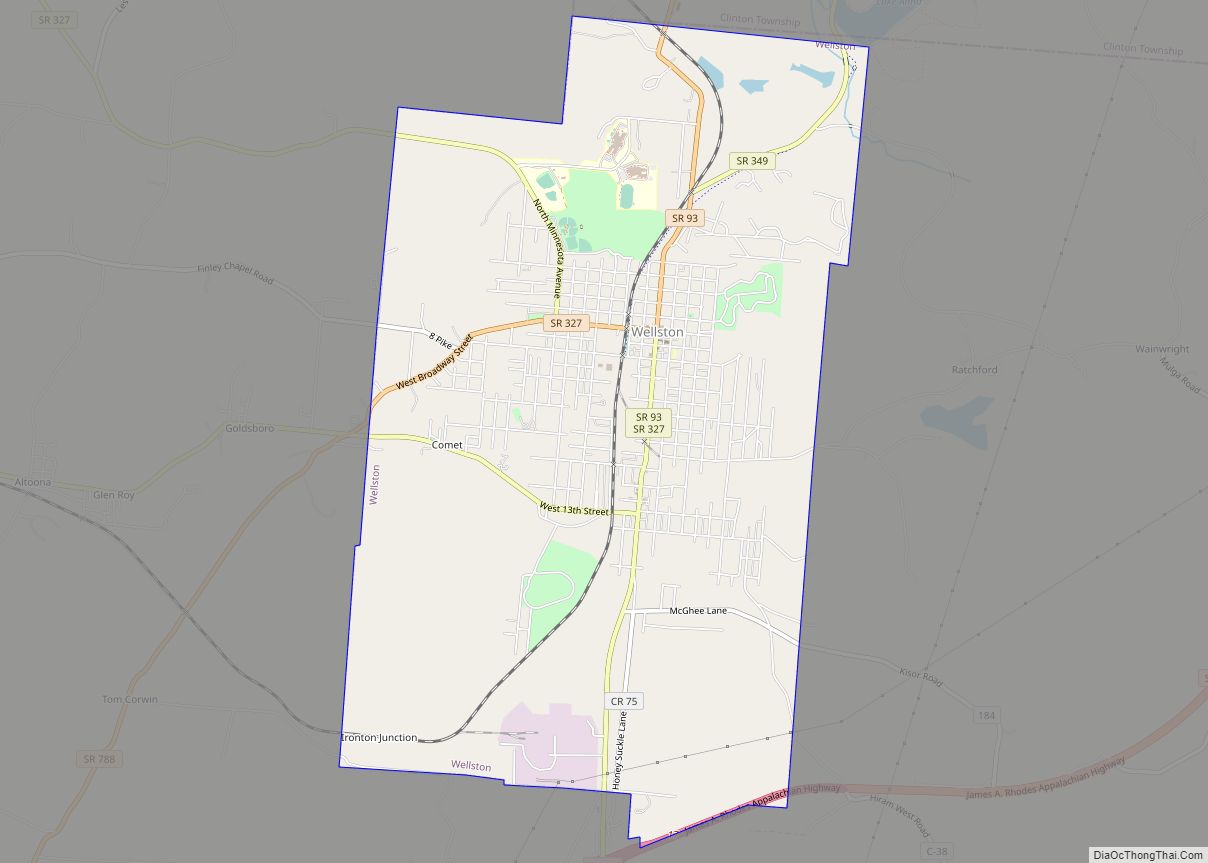
Jackson continued to grow during the 20th century. Jackson was the county’s largest community in 2000, with a population of 6,184 people. This number amounted to roughly 20% of the county’s entire population. Today, many locals find employment in a General Mills plant in nearby Wellston, Ohio, which employs more than 1000 people.
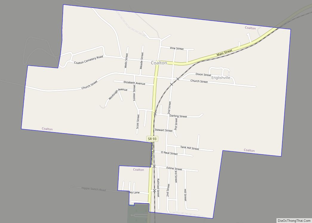
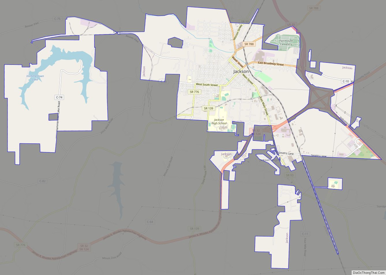
Jackson Road Map
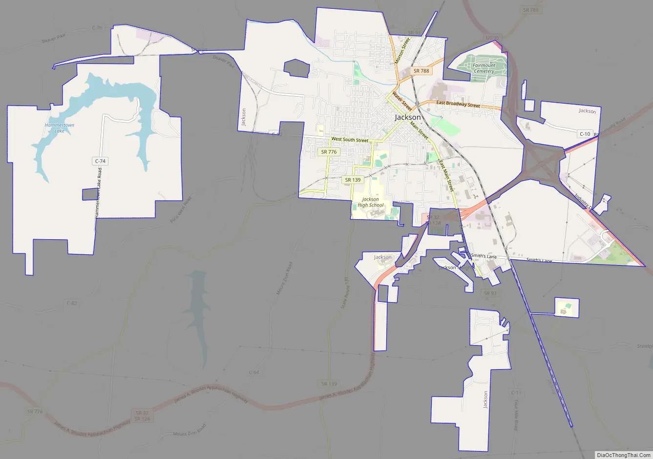
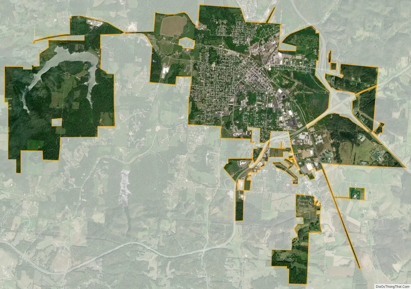
Jackson city Satellite Map
Geography
According to the United States Census Bureau, the city has a total area of 8.49 square miles (21.99 km), of which 8.23 square miles (21.32 km) is land and 0.26 square miles (0.67 km) is water.
Public lands
Parks include Eddie Jones Park, Manpower Park, and McKinley Park. The city operates the Fairmount Cemetery. The Lillian E. Jones museum is housed in a house built in 1869. Hammertown Lake, the city reservoir, has picnic areas and fishing.
Climate
See also
Map of Ohio State and its subdivision:- Adams
- Allen
- Ashland
- Ashtabula
- Athens
- Auglaize
- Belmont
- Brown
- Butler
- Carroll
- Champaign
- Clark
- Clermont
- Clinton
- Columbiana
- Coshocton
- Crawford
- Cuyahoga
- Darke
- Defiance
- Delaware
- Erie
- Fairfield
- Fayette
- Franklin
- Fulton
- Gallia
- Geauga
- Greene
- Guernsey
- Hamilton
- Hancock
- Hardin
- Harrison
- Henry
- Highland
- Hocking
- Holmes
- Huron
- Jackson
- Jefferson
- Knox
- Lake
- Lake Erie
- Lawrence
- Licking
- Logan
- Lorain
- Lucas
- Madison
- Mahoning
- Marion
- Medina
- Meigs
- Mercer
- Miami
- Monroe
- Montgomery
- Morgan
- Morrow
- Muskingum
- Noble
- Ottawa
- Paulding
- Perry
- Pickaway
- Pike
- Portage
- Preble
- Putnam
- Richland
- Ross
- Sandusky
- Scioto
- Seneca
- Shelby
- Stark
- Summit
- Trumbull
- Tuscarawas
- Union
- Van Wert
- Vinton
- Warren
- Washington
- Wayne
- Williams
- Wood
- Wyandot
- Alabama
- Alaska
- Arizona
- Arkansas
- California
- Colorado
- Connecticut
- Delaware
- District of Columbia
- Florida
- Georgia
- Hawaii
- Idaho
- Illinois
- Indiana
- Iowa
- Kansas
- Kentucky
- Louisiana
- Maine
- Maryland
- Massachusetts
- Michigan
- Minnesota
- Mississippi
- Missouri
- Montana
- Nebraska
- Nevada
- New Hampshire
- New Jersey
- New Mexico
- New York
- North Carolina
- North Dakota
- Ohio
- Oklahoma
- Oregon
- Pennsylvania
- Rhode Island
- South Carolina
- South Dakota
- Tennessee
- Texas
- Utah
- Vermont
- Virginia
- Washington
- West Virginia
- Wisconsin
- Wyoming