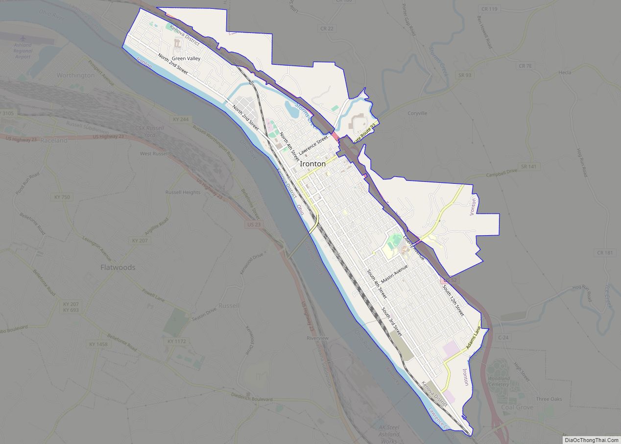
Ironton is a city in and the county seat of Lawrence County, Ohio, United States. Located in southernmost Ohio along the Ohio River, it is 20 miles (32 km) northwest of Huntington, West Virginia. The population was 10,571 at the 2020 census. Ironton is part of the Huntington–Ashland metropolitan area.
The city’s name is a contraction of “iron town”, stemming from its long ties to the iron industry. It also had one of the first professional football teams, the Ironton Tanks.
| Name: | Ironton city |
|---|---|
| LSAD Code: | 25 |
| LSAD Description: | city (suffix) |
| State: | Ohio |
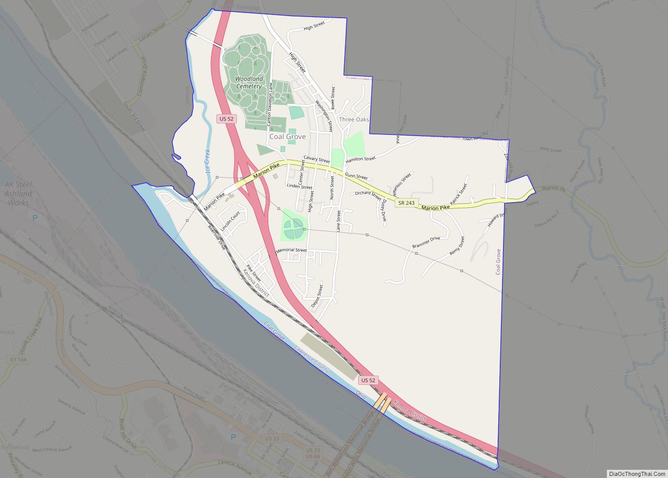
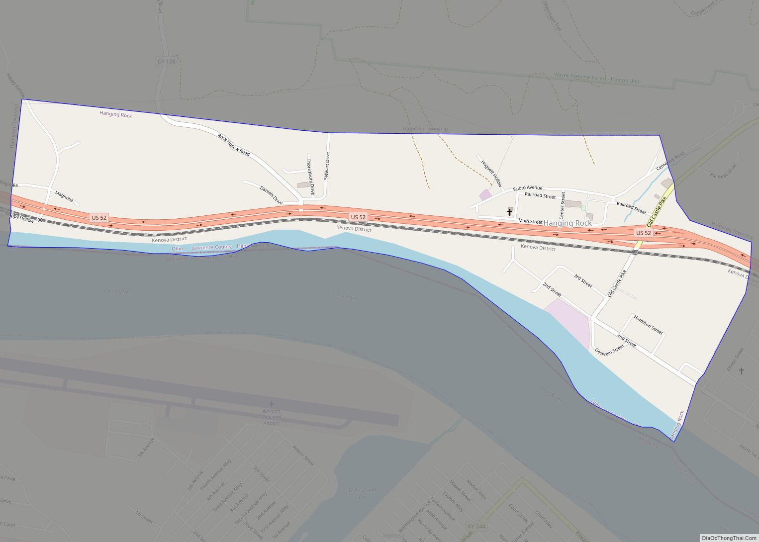
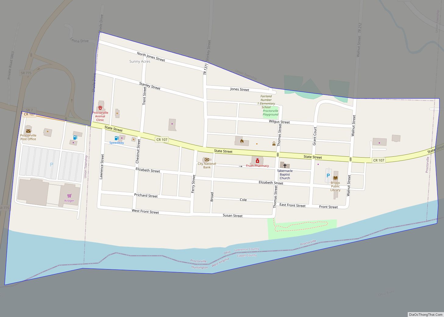
| County: | Lawrence County |
| Founded: | 1849 |
| Elevation: | 551 ft (168 m) |
| Land Area: | 4.47 sq mi (11.58 km²) |
| Water Area: | 0.28 sq mi (0.74 km²) |
| Population Density: | 2,365.41/sq mi (913.22/km²) |
| ZIP code: | 45638 |
| Area code: | 740 |
| FIPS code: | 3937464 |
| GNISfeature ID: | 1076122 |
| Website: | ironton-ohio.com |
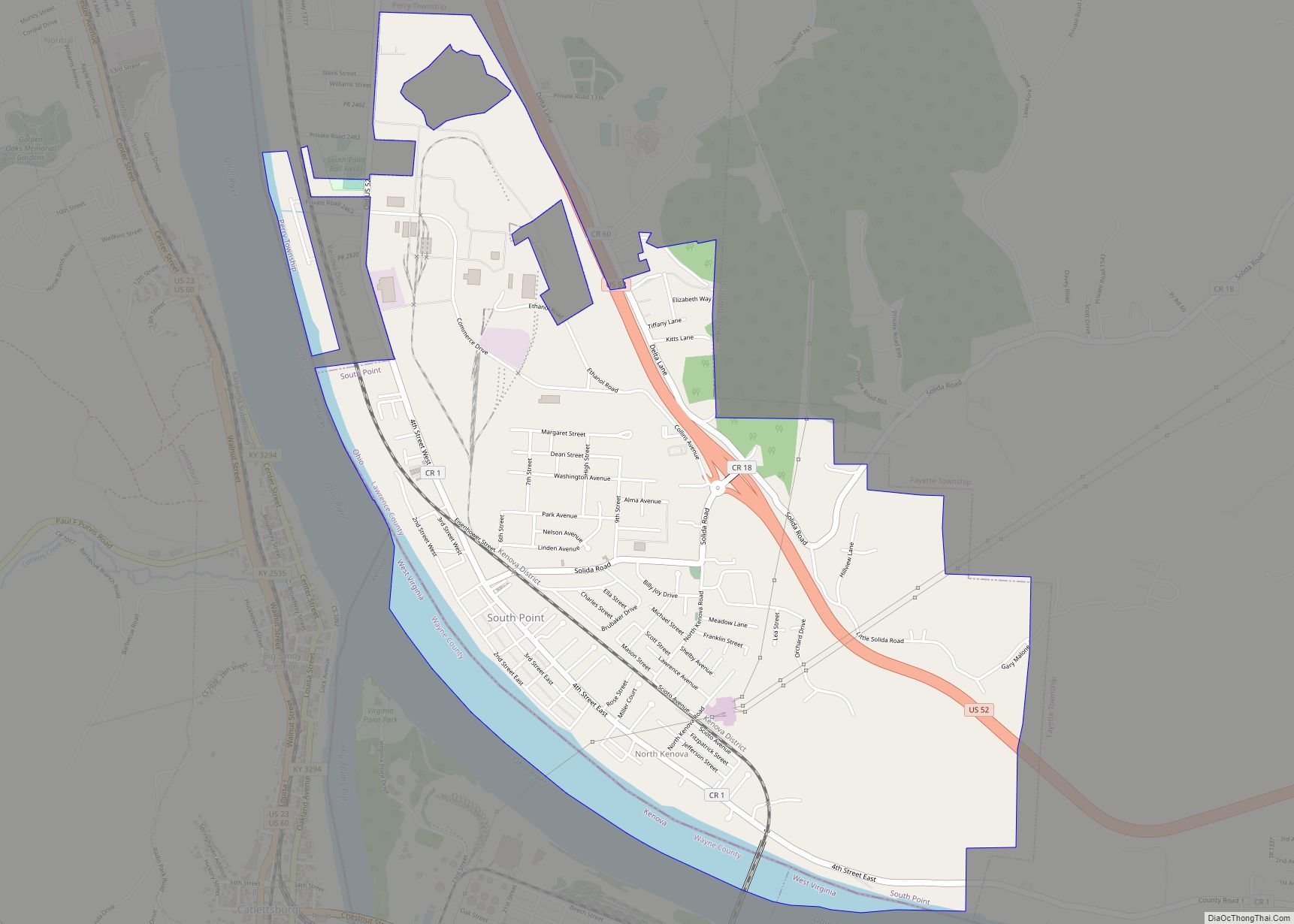
Online Interactive Map
Click on ![]() to view map in "full screen" mode.
to view map in "full screen" mode.
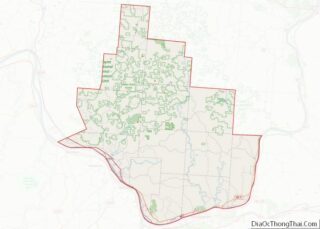
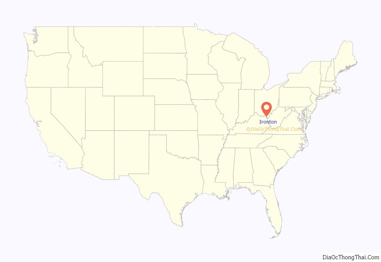
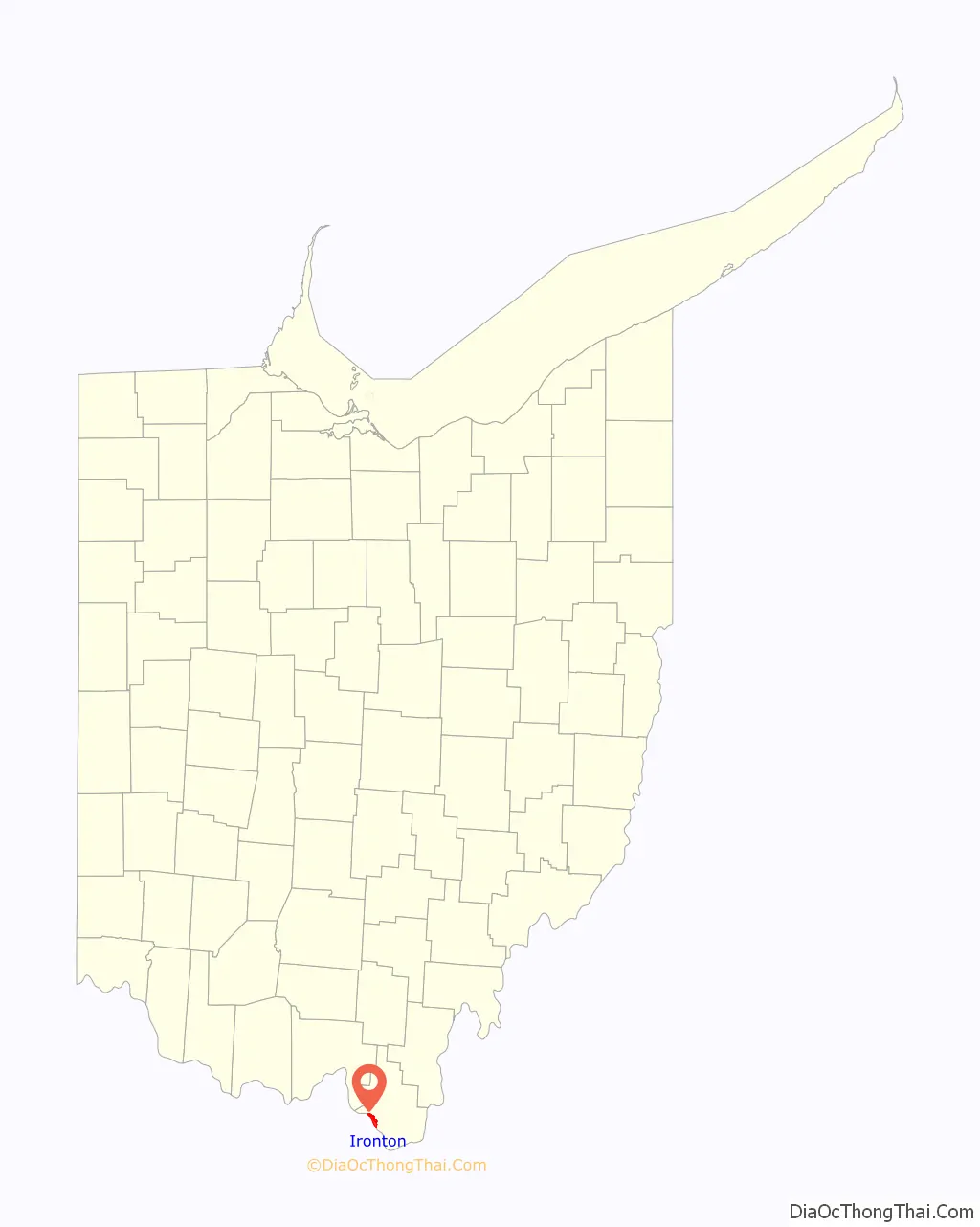
Ironton location map. Where is Ironton city?
History
Ironton was founded in 1849 by John Campbell, a prominent pig iron manufacturer in the area. He chose the location of Ironton because of its site along the Ohio River, which would allow for water transport of iron ore to markets downriver.
Between 1850 and 1890, Ironton was one of the foremost producers of iron in the world. England, France, and Russia all purchased iron for warships from here due to the quality. Iron produced here was used for the USS Monitor, the United States’ first ironclad ship. More than ninety furnaces were operating at the peak of production in the late 19th century.
The iron industry generated revenues that were invested in new industries, such as soap and nail production. The Detroit, Toledo and Ironton Railroad was constructed through two states, carrying iron to Henry Ford’s automaking plants in Michigan. The city had a street railway, the Ironton Petersburg Street Railway, four daily newspapers, and a few foreign-language publications. Ironton was also known for its accommodating attitude toward sin and vice associated with the mine and ironworkers.
Underground Railroad and Civil War
With its location on the Ohio River, Ironton became a destination on the Underground Railroad for refugee slaves seeking freedom in the North. John Campbell and some other city leaders sheltered slaves in their homes during their journeys.
During the American Civil War, local military regiments were mustered, quartered, and trained at Camp Ironton, a military post located at the county fairgrounds.
Changing economics of the iron industry
The downfall of Ironton came as the market for iron changed. Also, the nation was making the transition from a demand for iron to steel. After a nationwide economic recession in the late 19th century, Ironton was no longer growing.
The Norfolk and Western Railway built a new railroad station downtown in 1906, and it continued in operation into the mid-20th century. Two major floods (1917, 1937) caused extensive damage to the city and its industries. The second flood came during the Great Depression; together with the shift in the iron industry, it devastated the city. The iron industry declined, affecting other industries as well. As the iron industries closed, Ironton had little with which to replace them.
An industrial city, Ironton worked to attract other heavy industry to the region. Companies such as Allied Signal and Alpha Portland Cement did build in town. The region has had difficulty creating an alternate economy. By 2004, both Alpha Portland Cement and Allied Signal were gone, and Ironton had shrunk by nearly 30% from its peak population in 1950. (See US Census table below.)
Professional football and Thanksgiving Day football tradition
Ironton had one of the first professional football teams in the United States, called the Ironton Tanks. The team was organized in 1919 and played through 1930. The football field previously used by the Tanks is now home to the Ironton High School Football team, the Ironton Fighting Tigers.
The Tanks began what is now the National Football League’s Thanksgiving Day Game tradition of the Detroit Lions. The Tanks played a game in 1920 the day after Thanksgiving with the Lombards, a crosstown rival, winning 26–0. In 1922, they played and defeated the Huntington Boosters 12–0 on Thanksgiving Day, Nov 30. The Tanks continued playing on this national holiday each year thru 1930, which was the Tanks final season. Several Tank players (including Glenn Presnell) continued their football careers by joining the nearby Portsmouth Spartans, who continued the annual tradition until their demise after the 1933 season.
The Spartans’ assets were acquired by businessman G.A. Richards and moved to Detroit, where they were renamed the Lions. Asked by Richards about ways to improve ticket sales, the players replied that they always got a good turnout on Thanksgiving Day. He promptly scheduled the first Thanksgiving Day game in Detroit.
Ironton Road Map
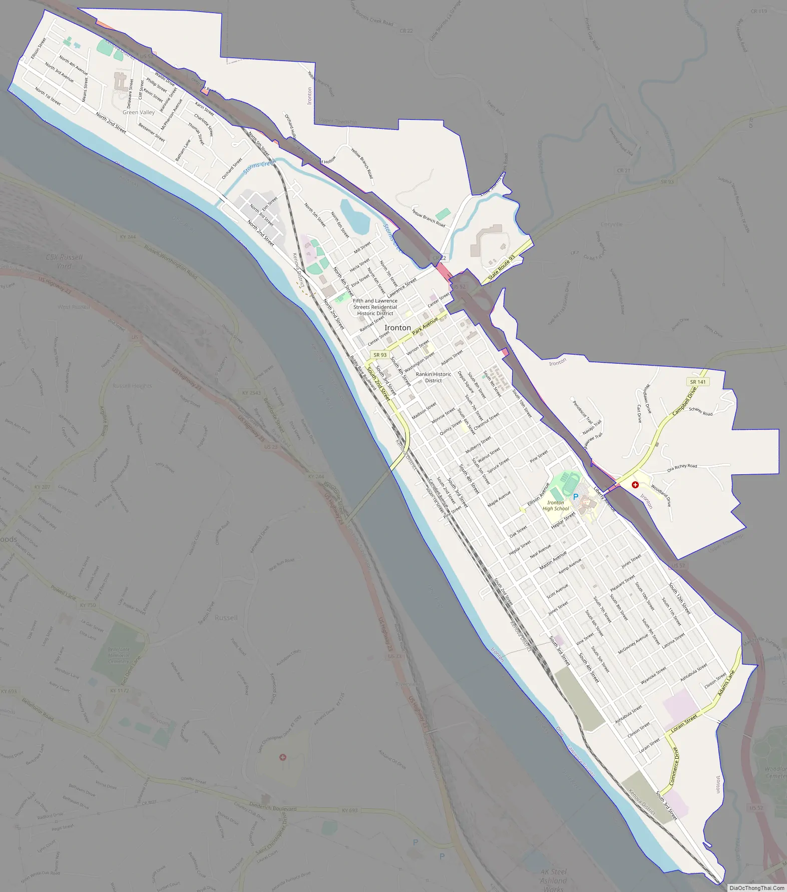
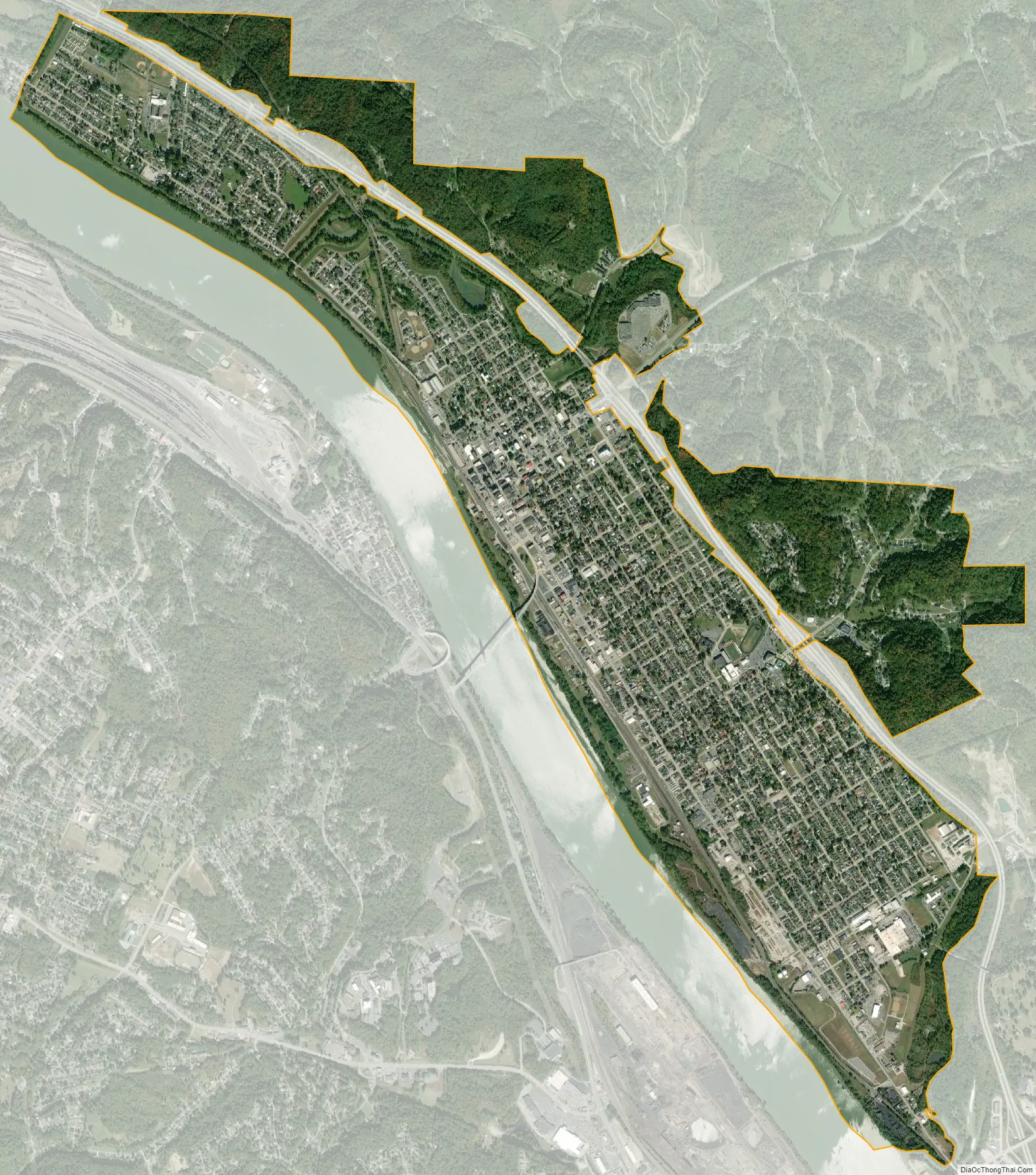
Ironton city Satellite Map
Geography
According to the United States Census Bureau, the city has a total area of 4.46 square miles (11.55 km), of which 4.16 square miles (10.77 km) is land and 0.30 square miles (0.78 km) is water.
Climate
Ironton is located within the northern limits of a humid subtropical climate (Koppen Cfa) which is typical of southern Ohio and northern Kentucky. The region experiences four distinct seasons. Winters are cool to cold with mild periods and summers are generally hot and humid, with significant precipitation year-round. Ironton is largely transitional in its plant life, sharing traditionally northern trees in landscaping like the blue spruce along with Magnolia and the occasional Needle Palm from the Upland South.
See also
Map of Ohio State and its subdivision:- Adams
- Allen
- Ashland
- Ashtabula
- Athens
- Auglaize
- Belmont
- Brown
- Butler
- Carroll
- Champaign
- Clark
- Clermont
- Clinton
- Columbiana
- Coshocton
- Crawford
- Cuyahoga
- Darke
- Defiance
- Delaware
- Erie
- Fairfield
- Fayette
- Franklin
- Fulton
- Gallia
- Geauga
- Greene
- Guernsey
- Hamilton
- Hancock
- Hardin
- Harrison
- Henry
- Highland
- Hocking
- Holmes
- Huron
- Jackson
- Jefferson
- Knox
- Lake
- Lake Erie
- Lawrence
- Licking
- Logan
- Lorain
- Lucas
- Madison
- Mahoning
- Marion
- Medina
- Meigs
- Mercer
- Miami
- Monroe
- Montgomery
- Morgan
- Morrow
- Muskingum
- Noble
- Ottawa
- Paulding
- Perry
- Pickaway
- Pike
- Portage
- Preble
- Putnam
- Richland
- Ross
- Sandusky
- Scioto
- Seneca
- Shelby
- Stark
- Summit
- Trumbull
- Tuscarawas
- Union
- Van Wert
- Vinton
- Warren
- Washington
- Wayne
- Williams
- Wood
- Wyandot
- Alabama
- Alaska
- Arizona
- Arkansas
- California
- Colorado
- Connecticut
- Delaware
- District of Columbia
- Florida
- Georgia
- Hawaii
- Idaho
- Illinois
- Indiana
- Iowa
- Kansas
- Kentucky
- Louisiana
- Maine
- Maryland
- Massachusetts
- Michigan
- Minnesota
- Mississippi
- Missouri
- Montana
- Nebraska
- Nevada
- New Hampshire
- New Jersey
- New Mexico
- New York
- North Carolina
- North Dakota
- Ohio
- Oklahoma
- Oregon
- Pennsylvania
- Rhode Island
- South Carolina
- South Dakota
- Tennessee
- Texas
- Utah
- Vermont
- Virginia
- Washington
- West Virginia
- Wisconsin
- Wyoming