Jefferson is a village in and the county seat of Ashtabula County, Ohio, United States. The population was 3,226 at the 2020 census. It is part of the Ashtabula micropolitan area, 50 miles (80 km) northeast of Cleveland.
Modern-day Jefferson sports the world’s only perambulator museum and a historical complex including several restored 19th-century buildings. Joshua Giddings’ law office has also been restored as a museum. Annual village events include the Ashtabula County Fair, the Strawberry Festival, Jefferson Days, and the Covered Bridge Festival.
| Name: | Jefferson village |
|---|---|
| LSAD Code: | 47 |
| LSAD Description: | village (suffix) |
| State: | Ohio |
| County: | Ashtabula County |
| Elevation: | 958 ft (292 m) |
| Total Area: | 2.54 sq mi (6.57 km²) |
| Land Area: | 2.54 sq mi (6.57 km²) |
| Water Area: | 0.00 sq mi (0.00 km²) |
| Total Population: | 3,226 |
| Population Density: | 1,271.58/sq mi (491.04/km²) |
| ZIP code: | 44047 |
| Area code: | 440 |
| FIPS code: | 3938500 |
| GNISfeature ID: | 1042061 |
| Website: | http://www.jeffersonohio.us/ |
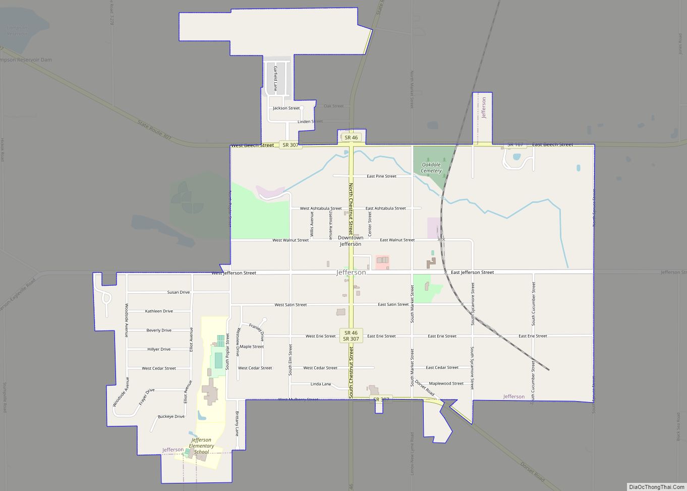
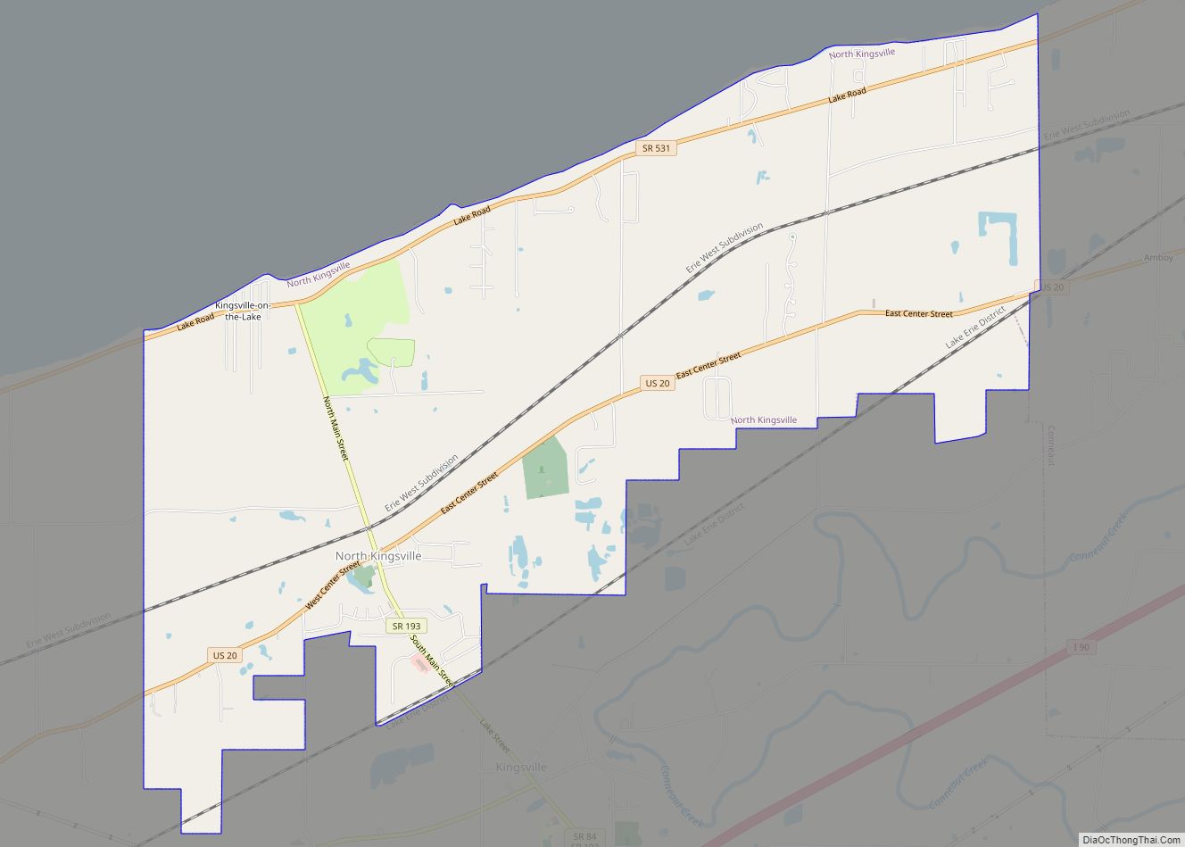
Online Interactive Map
Click on ![]() to view map in "full screen" mode.
to view map in "full screen" mode.
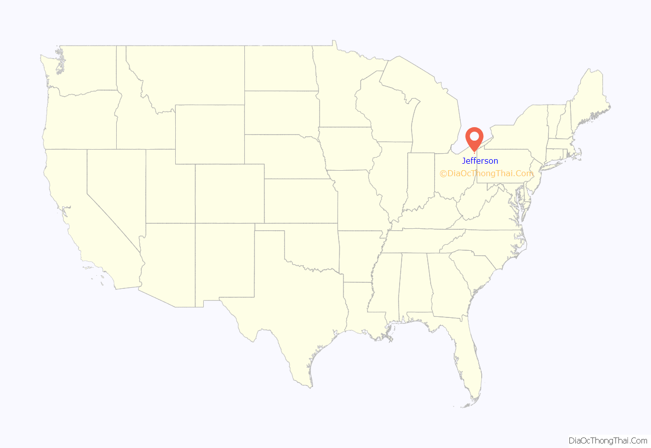
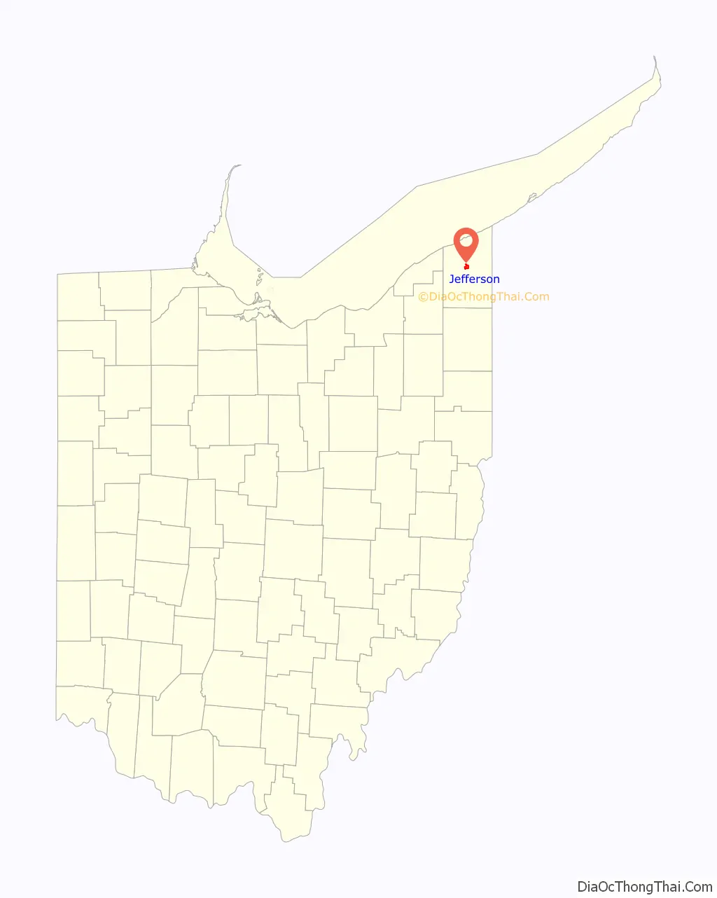
Jefferson location map. Where is Jefferson village?
History
Jefferson was officially founded by Gideon Granger, U.S. Postmaster General during Thomas Jefferson’s administration, in 1803. He envisioned the new settlement as a “Philadelphia of the West,” and early plans for the village were based upon the layout of that city. A cabin was erected by Granger’s agent in 1804, but the settlement’s first permanent residents arrived only in 1805: the Samuel Wilson family. Wilson, misled by land agents, moved to Ohio in late autumn expecting to find a thriving city on Granger’s land. Instead, he found a wilderness, broken only by trees emblazoned with Philadelphian street names, marking where future streets would be built. Wilson himself died after two weeks of herculean effort to prepare for the winter, but his family stayed on as the first citizens of Jefferson. In 1811, Jefferson was made the county seat of Ashtabula County.
Jefferson’s two most famous sons were Congressman Joshua Reed Giddings and Senator Benjamin Wade, two prominent Whig Party and later Republican Party abolitionists. In 1831, the two men formed a law practice in Jefferson and worked together until Giddings was elected to Congress in 1838. Wade successfully ran for the Ohio State Senate in 1837, then won election to the US Senate in 1851. Both were instrumental in the foundation of the Republican Party and defied the “Gag Rule” barring discussion of slavery prior to the American Civil War. Jefferson itself was a hotbed of abolitionism. Abolitionist John Brown spoke in the village, and several of its houses acted as stations on the Underground Railway. During the American Civil War, it trained Union recruits at Fort Giddings, which stood in the village at the current site of the fairgrounds. Wade later was merely one vote shy of assuming the acting Presidency due to the impeachment trial of Andrew Johnson.
Jefferson Road Map
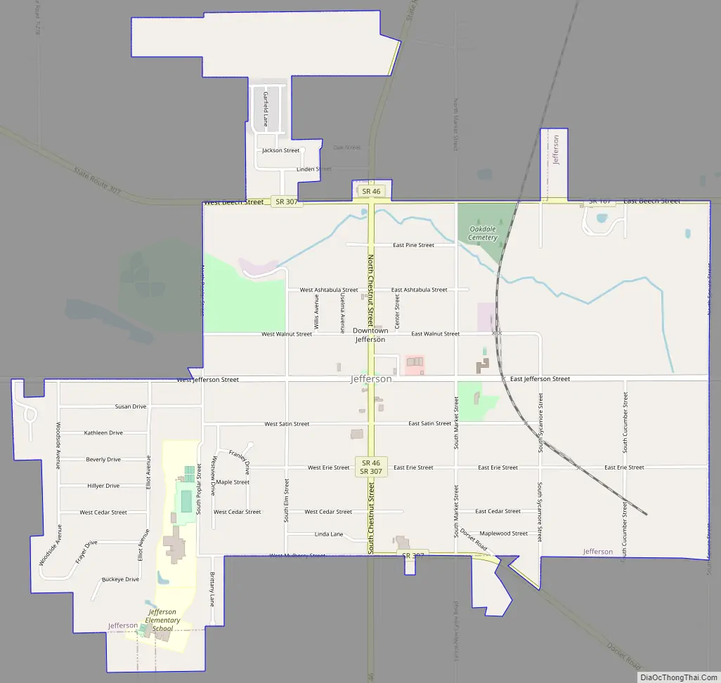
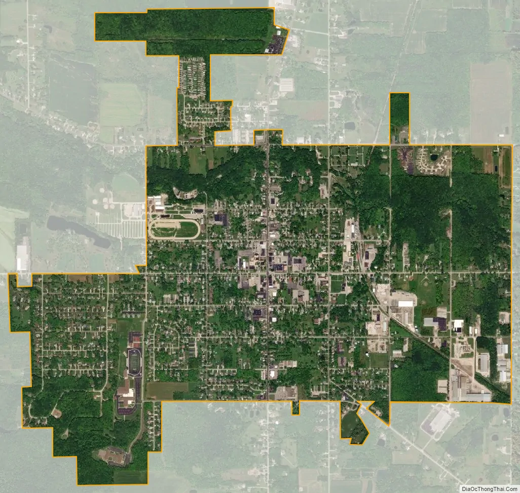
Jefferson city Satellite Map
Geography
Jefferson is located at 41°44′14″N 80°46′19″W / 41.73722°N 80.77194°W / 41.73722; -80.77194 (41.737118, −80.772019).
According to the United States Census Bureau, the village has a total area of 2.52 square miles (6.53 km), all land.
The village’s principal watercourse is Mill Creek.
See also
Map of Ohio State and its subdivision:- Adams
- Allen
- Ashland
- Ashtabula
- Athens
- Auglaize
- Belmont
- Brown
- Butler
- Carroll
- Champaign
- Clark
- Clermont
- Clinton
- Columbiana
- Coshocton
- Crawford
- Cuyahoga
- Darke
- Defiance
- Delaware
- Erie
- Fairfield
- Fayette
- Franklin
- Fulton
- Gallia
- Geauga
- Greene
- Guernsey
- Hamilton
- Hancock
- Hardin
- Harrison
- Henry
- Highland
- Hocking
- Holmes
- Huron
- Jackson
- Jefferson
- Knox
- Lake
- Lake Erie
- Lawrence
- Licking
- Logan
- Lorain
- Lucas
- Madison
- Mahoning
- Marion
- Medina
- Meigs
- Mercer
- Miami
- Monroe
- Montgomery
- Morgan
- Morrow
- Muskingum
- Noble
- Ottawa
- Paulding
- Perry
- Pickaway
- Pike
- Portage
- Preble
- Putnam
- Richland
- Ross
- Sandusky
- Scioto
- Seneca
- Shelby
- Stark
- Summit
- Trumbull
- Tuscarawas
- Union
- Van Wert
- Vinton
- Warren
- Washington
- Wayne
- Williams
- Wood
- Wyandot
- Alabama
- Alaska
- Arizona
- Arkansas
- California
- Colorado
- Connecticut
- Delaware
- District of Columbia
- Florida
- Georgia
- Hawaii
- Idaho
- Illinois
- Indiana
- Iowa
- Kansas
- Kentucky
- Louisiana
- Maine
- Maryland
- Massachusetts
- Michigan
- Minnesota
- Mississippi
- Missouri
- Montana
- Nebraska
- Nevada
- New Hampshire
- New Jersey
- New Mexico
- New York
- North Carolina
- North Dakota
- Ohio
- Oklahoma
- Oregon
- Pennsylvania
- Rhode Island
- South Carolina
- South Dakota
- Tennessee
- Texas
- Utah
- Vermont
- Virginia
- Washington
- West Virginia
- Wisconsin
- Wyoming