Map of Fort Gibson town

Map of Fort Gibson town

Fort Gibson is a town in Cherokee and Muskogee counties in the U.S. state of Oklahoma. The population was 4,154 at the 2010 census, an increase of 2.5 percent over the figure of 4,054 recorded in 2000. It is the location of Fort Gibson Historical Site and Fort Gibson National Cemetery and is located near … Read more

Map of Fort Coffee town

Map of Fort Coffee town

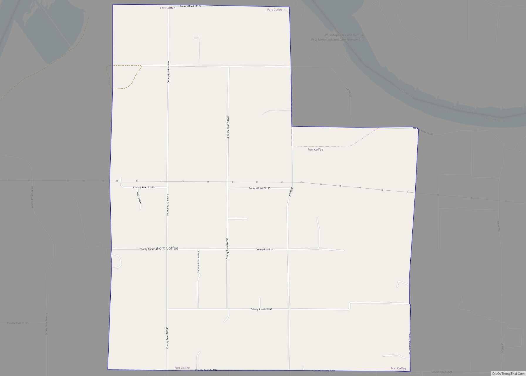
Fort Coffee is a town in Le Flore County, Oklahoma, United States. Originally constructed as a U. S. Army fort in 1834, it was named for U. S. General John Coffee, a veteran of the Seminole Wars. It is part of the Fort Smith, Arkansas-Oklahoma Metropolitan Statistical Area. The population was 424 at the 2010 … Read more

Map of Fort Cobb town

Map of Fort Cobb town

Fort Cobb is a town in Caddo County, Oklahoma, United States. The population was 634 at the 2010 census. Fort Cobb town overview: Name: Fort Cobb town LSAD Code: 43 LSAD Description: town (suffix) State: Oklahoma County: Caddo County Elevation: 1,253 ft (382 m) Total Area: 0.72 sq mi (1.87 km²) Land Area: 0.71 sq mi (1.84 km²) Water Area: 0.01 sq mi (0.02 km²) Total … Read more

Map of Forgan town

Map of Forgan town

Forgan is a town in Beaver County, Oklahoma, United States. The population was 547 at the 2010 census. Forgan town overview: Name: Forgan town LSAD Code: 43 LSAD Description: town (suffix) State: Oklahoma County: Beaver County Elevation: 2,592 ft (790 m) Total Area: 0.39 sq mi (1.02 km²) Land Area: 0.39 sq mi (1.02 km²) Water Area: 0.00 sq mi (0.00 km²) Total Population: 450 Population … Read more

Map of Garber city, Oklahoma

Map of Garber city, Oklahoma

Garber is a city in Garfield County, Oklahoma, United States. The population was 822 at the 2010 census. The city is named after Martin Garber, father of Milton C. Garber, former U.S. congressman, Enid mayor, newspaper editor, and judge. The land was previously part of the Cherokee Outlet, until the U.S. government declared it open … Read more

Map of Gans town

Map of Gans town

Gans is a town in Sequoyah County, Oklahoma, United States. It is part of the Fort Smith, Arkansas-Oklahoma Metropolitan Statistical Area. The population was 312 at the 2010 census, an increase of 50 percent over the figure of 208 recorded in 2000. Gans town overview: Name: Gans town LSAD Code: 43 LSAD Description: town (suffix) … Read more

Map of Gage town

Map of Gage town

Gage is a town in Ellis County, Oklahoma, United States. The population was 442 at the 2010 census. Gage town overview: Name: Gage town LSAD Code: 43 LSAD Description: town (suffix) State: Oklahoma County: Ellis County Elevation: 2,146 ft (654 m) Total Area: 0.43 sq mi (1.11 km²) Land Area: 0.43 sq mi (1.11 km²) Water Area: 0.00 sq mi (0.00 km²) Total Population: 433 Population … Read more

Map of Friendship town, Oklahoma

Map of Friendship town, Oklahoma

Friendship is an incorporated town in Jackson County, Oklahoma, United States. As of the 2010 census it had a population of 24. Friendship town overview: Name: Friendship town LSAD Code: 43 LSAD Description: town (suffix) State: Oklahoma County: Jackson County Elevation: 1,391 ft (424 m) Total Area: 0.15 sq mi (0.39 km²) Land Area: 0.15 sq mi (0.39 km²) Water Area: 0.00 sq mi (0.00 km²) … Read more

Map of Freedom town, Oklahoma

Map of Freedom town, Oklahoma

Freedom is a town in Woods County, Oklahoma, United States. It lies twenty-five miles west of Alva, on the banks of the Cimarron River. As of the 2010 census, the city population was 289. Freedom town overview: Name: Freedom town LSAD Code: 43 LSAD Description: town (suffix) State: Oklahoma County: Woods County Incorporated: 1925 Elevation: … Read more

Map of Frederick city, Oklahoma

Map of Frederick city, Oklahoma

Frederick is a city and county seat of Tillman County, Oklahoma, United States. The population was 3,940 at the 2010 census. It is an agriculture-based community that primarily produces wheat, cotton, and cattle. Frederick is home to three dairies, a 1400-acre industrial park, and Frederick Regional Airport, which includes restored World War II hangars which … Read more

Map of Francis town

Map of Francis town, Oklahoma

Francis is a town in Pontotoc County, Oklahoma, United States. The population was 332 at the 2000 census. Francis town overview: Name: Francis town LSAD Code: 43 LSAD Description: town (suffix) State: Oklahoma County: Pontotoc County Elevation: 945 ft (288 m) Total Area: 0.56 sq mi (1.45 km²) Land Area: 0.56 sq mi (1.45 km²) Water Area: 0.00 sq mi (0.00 km²) Total Population: 244 Population … Read more

Map of Geary city

Map of Geary city

Geary is a city in Blaine and Canadian counties in the U.S. state of Oklahoma. The population was 994 at the 2020 census. The town was named for Edmund Guerrier, a scout and an interpreter for the U.S. Army. Geary city overview: Name: Geary city LSAD Code: 25 LSAD Description: city (suffix) State: Oklahoma County: … Read more