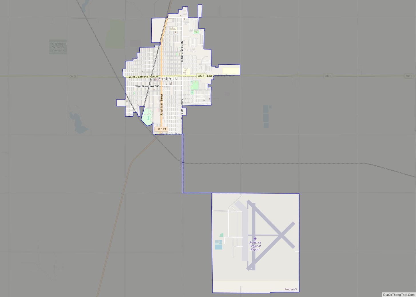
Frederick is a city and county seat of Tillman County, Oklahoma, United States. The population was 3,940 at the 2010 census. It is an agriculture-based community that primarily produces wheat, cotton, and cattle. Frederick is home to three dairies, a 1400-acre industrial park, and Frederick Regional Airport, which includes restored World War II hangars which house the World War II Airborne Demonstration Team.
Frederick was visited in April 1905 by then U.S. President Theodore Roosevelt while he was on a wolf hunt.
| Name: | Frederick city |
|---|---|
| LSAD Code: | 25 |
| LSAD Description: | city (suffix) |
| State: | Oklahoma |
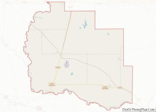
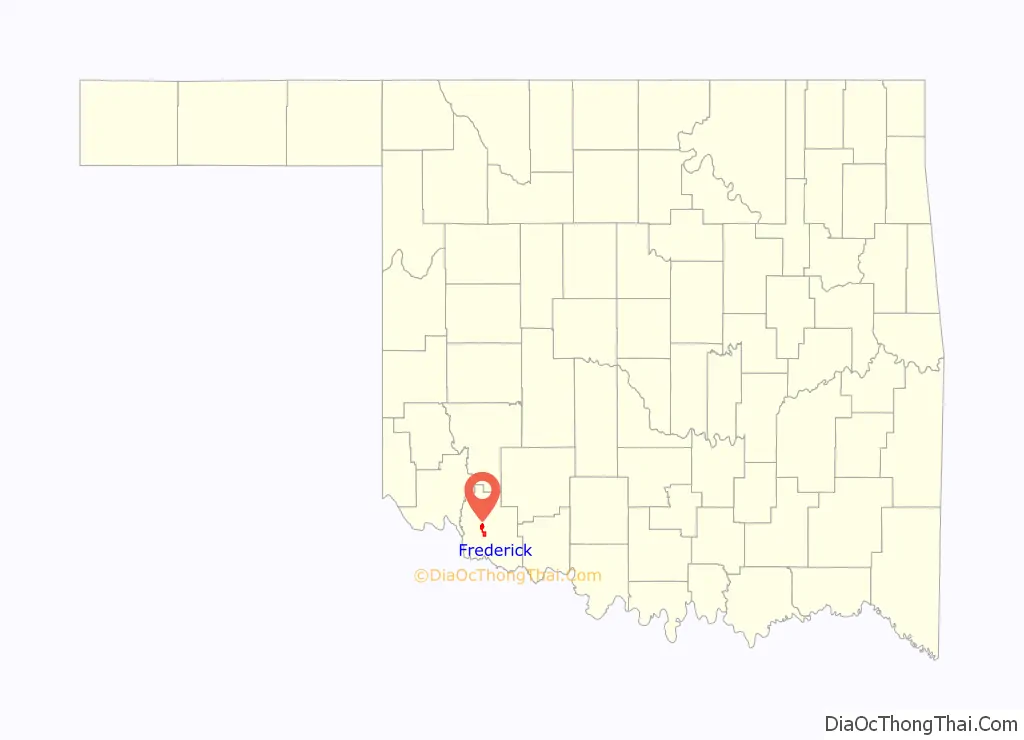
| County: | Tillman County |
| Elevation: | 1,306 ft (398 m) |
| Total Area: | 4.96 sq mi (12.84 km²) |
| Land Area: | 4.95 sq mi (12.81 km²) |
| Water Area: | 0.01 sq mi (0.03 km²) |
| Total Population: | 3,468 |
| Population Density: | 701.03/sq mi (270.68/km²) |
| ZIP code: | 73542 |
| Area code: | 580 |
| FIPS code: | 4027800 |
| GNISfeature ID: | 1093029 |
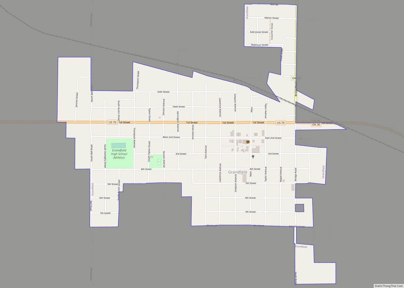
Online Interactive Map
Click on ![]() to view map in "full screen" mode.
to view map in "full screen" mode.
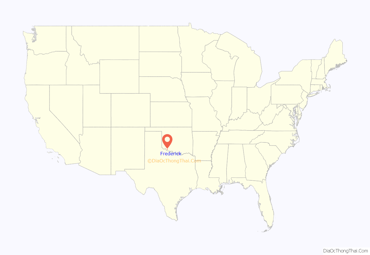
Frederick location map. Where is Frederick city?
History
Originally established in 1901, the Frederick area was among the last of the Oklahoma Territory land to be opened to settlement. What is now Frederick used to be two towns: Gosnell and Hazel. Both towns were established in 1901, when the Kiowa-Comanche-Apache reservation was opened to settlement. In 1902 the towns combined in order to take advantage of the Blackwell, Enid and Southern Railroad. The new town was named Frederick, after the son of a railroad executive. Gosnell received the depot, and the residents of Hazel moved north to the new town of Frederick.The post office moved from Gosnell to Frederick, for which it was renamed in 1902.
Most of the business district was destroyed by fires in 1904 and 1905. The buildings had been made of wood, and were quickly replaced with brick.
In the spring of 1905, President Teddy Roosevelt visited Frederick to meet with Jack “Catch-’em-alive” Abernathy, the famed barehanded wolf hunter, and introduced the area to tourism and its recreational value. In 1907 the City of Frederick was incorporated, Oklahoma became a state, Frederick was named the seat of Tillman County, and the Katy Railroad came to Frederick. By 1915, Frederick had 15 miles of sidewalks and crossings, and 75 miles of wide, graded, rolled streets. The first paved streets were laid in 1918.
The Frederick Army Air Field opened in 1941, training pilots to fly UC-78 light transport aircraft and B-25 bombers. In 1953, the base was turned over to the City of Frederick, and is now the Frederick Municipal Airport and Industrial Park.
In 1962 a flagpole was erected in Pioneer Park, fulfilling the agreement between Gosnell, Hazel and the railroad.
Frederick Road Map
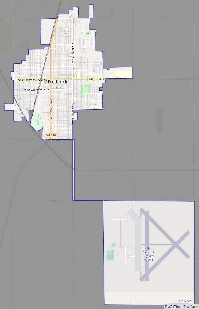
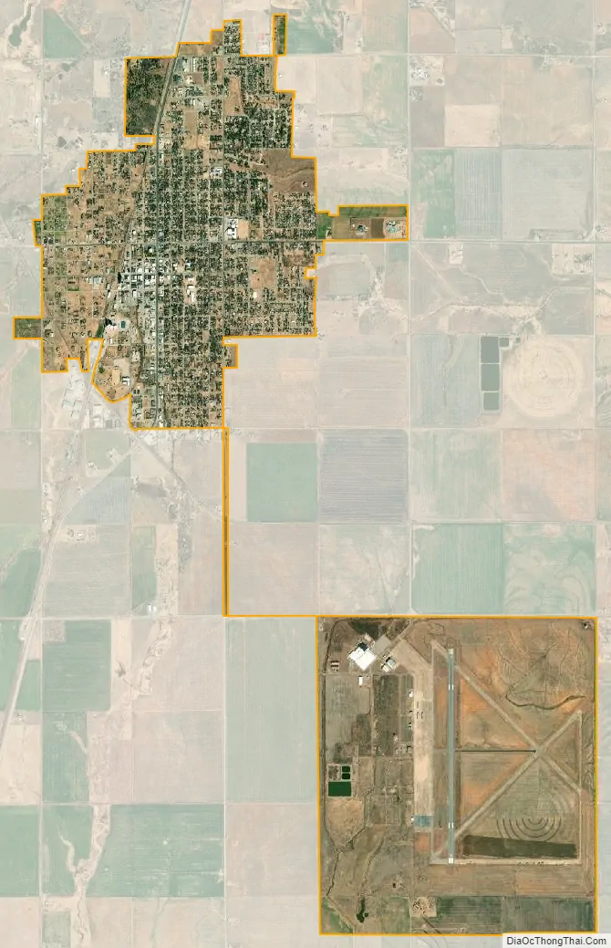
Frederick city Satellite Map
Geography
Frederick is located at 34°23′25″N 99°0′58″W / 34.39028°N 99.01611°W / 34.39028; -99.01611 (34.390171, -99.016107). It is at the junction of U.S. Route 183 and Oklahoma State Highway 5. According to the United States Census Bureau, the city has a total area of 5.0 square miles (13 km), of which 5.0 square miles (13 km) is land and 0.20% is water.
Lake Frederick, owned by the town, is about 15 miles northeast.
Climate
See also
Map of Oklahoma State and its subdivision:- Adair
- Alfalfa
- Atoka
- Beaver
- Beckham
- Blaine
- Bryan
- Caddo
- Canadian
- Carter
- Cherokee
- Choctaw
- Cimarron
- Cleveland
- Coal
- Comanche
- Cotton
- Craig
- Creek
- Custer
- Delaware
- Dewey
- Ellis
- Garfield
- Garvin
- Grady
- Grant
- Greer
- Harmon
- Harper
- Haskell
- Hughes
- Jackson
- Jefferson
- Johnston
- Kay
- Kingfisher
- Kiowa
- Latimer
- Le Flore
- Lincoln
- Logan
- Love
- Major
- Marshall
- Mayes
- McClain
- McCurtain
- McIntosh
- Murray
- Muskogee
- Noble
- Nowata
- Okfuskee
- Oklahoma
- Okmulgee
- Osage
- Ottawa
- Pawnee
- Payne
- Pittsburg
- Pontotoc
- Pottawatomie
- Pushmataha
- Roger Mills
- Rogers
- Seminole
- Sequoyah
- Stephens
- Texas
- Tillman
- Tulsa
- Wagoner
- Washington
- Washita
- Woods
- Woodward
- Alabama
- Alaska
- Arizona
- Arkansas
- California
- Colorado
- Connecticut
- Delaware
- District of Columbia
- Florida
- Georgia
- Hawaii
- Idaho
- Illinois
- Indiana
- Iowa
- Kansas
- Kentucky
- Louisiana
- Maine
- Maryland
- Massachusetts
- Michigan
- Minnesota
- Mississippi
- Missouri
- Montana
- Nebraska
- Nevada
- New Hampshire
- New Jersey
- New Mexico
- New York
- North Carolina
- North Dakota
- Ohio
- Oklahoma
- Oregon
- Pennsylvania
- Rhode Island
- South Carolina
- South Dakota
- Tennessee
- Texas
- Utah
- Vermont
- Virginia
- Washington
- West Virginia
- Wisconsin
- Wyoming