Map of Haileyville city
Haileyville is a city in Pittsburg County, Oklahoma, United States. The population was 813 at the 2010 census. Haileyville city overview: Name: Haileyville city LSAD Code: 25 LSAD Description: city (suffix) State: Oklahoma County: Pittsburg County Elevation: 633 ft (193 m) Total Area: 1.04 sq mi (2.68 km²) Land Area: 1.03 sq mi (2.68 km²) Water Area: 0.00 sq mi (0.01 km²) Total Population: 716 Population ... Read more
Map of Haileyville city
Map of Guymon city
Guymon (/ˈɡaɪmən/ GHY-mən) is a city and county seat of Texas County, in the panhandle of Oklahoma, United States. As of the 2020 census, the city population was 12,965, an increase of 13.3% from 11,442 in 2010, and represents more than half of the population of the county. Cattle feedlots, corporate pork farms, and natural ... Read more
Map of Guymon city
Map of Guthrie city, Oklahoma
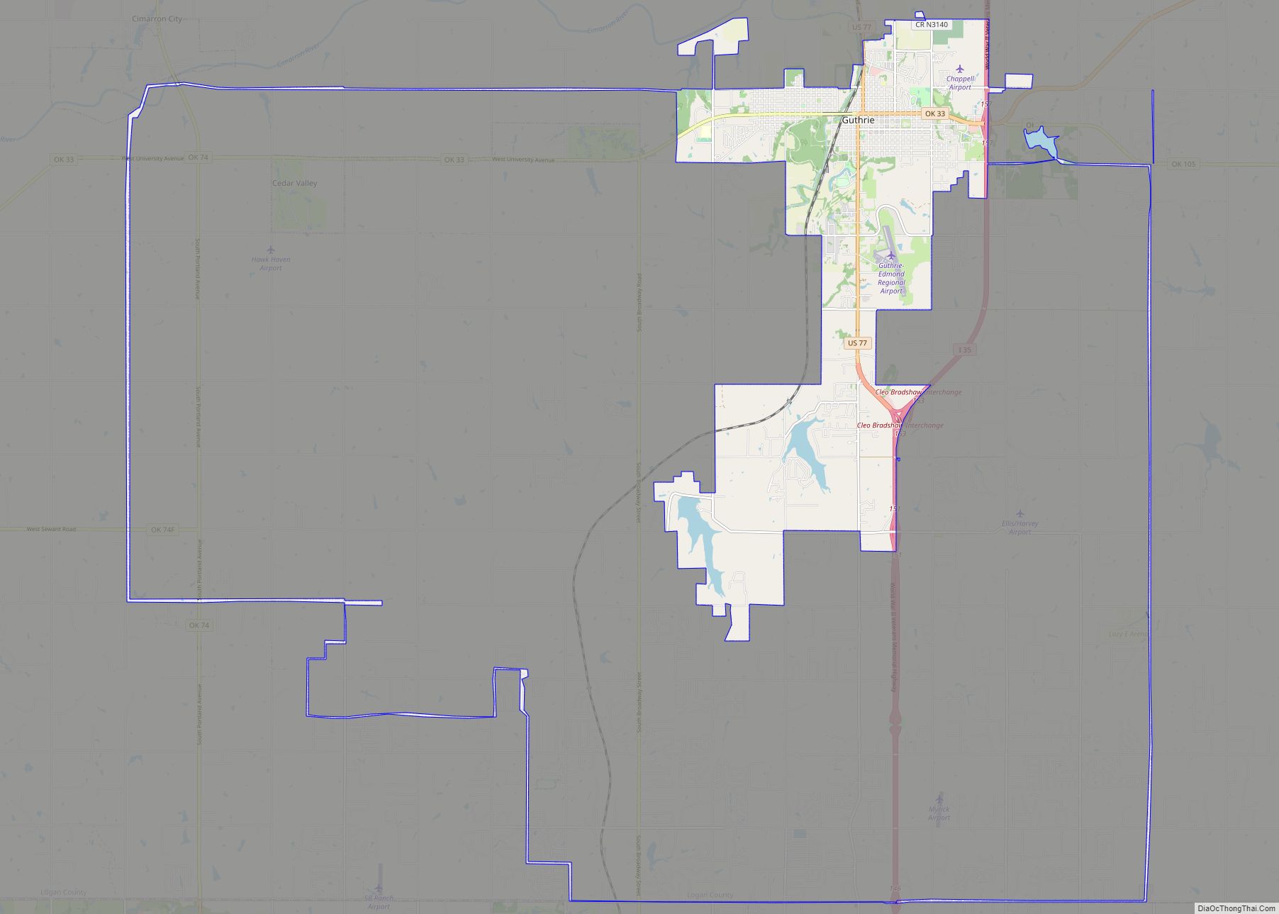
Guthrie is a city and county seat in Logan County, Oklahoma, United States, and a part of the Oklahoma City Metroplex. The population was 10,191 at the 2010 census, a 2.7 percent increase from the figure of 9,925 in the 2000 census. First known as a railroad station stop, after the Land Run of 1889, ... Read more
Map of Guthrie city, Oklahoma
Map of Grove city
Grove is a city in Delaware County, Oklahoma, United States. The population was 6,623 at the 2010 census, an increase of 27.6 percent over the figure of 5,131 recorded in 2000. Grove is surrounded by Grand Lake o’ the Cherokees, a professional bass fishing tournament lake and recreational hotspot during the travel season of Memorial ... Read more
Map of Grove city
Map of Gregory CDP, Oklahoma
Gregory is a census-designated place (CDP) in Rogers County, Oklahoma, United States. The population was 150 at the 2000 census. Gregory CDP overview: Name: Gregory CDP LSAD Code: 57 LSAD Description: CDP (suffix) State: Oklahoma County: Rogers County Elevation: 633 ft (193 m) Total Area: 3.01 sq mi (7.79 km²) Land Area: 3.01 sq mi (7.79 km²) Water Area: 0.00 sq mi (0.00 km²) Total Population: ... Read more
Map of Gregory CDP, Oklahoma
Map of Greenfield town, Oklahoma
Greenfield is a town in Blaine County, Oklahoma, United States. The population was 93 at the 2010 census. Greenfield town overview: Name: Greenfield town LSAD Code: 43 LSAD Description: town (suffix) State: Oklahoma County: Blaine County Elevation: 1,457 ft (444 m) Total Area: 0.14 sq mi (0.37 km²) Land Area: 0.14 sq mi (0.37 km²) Water Area: 0.00 sq mi (0.00 km²) Total Population: 114 Population ... Read more
Map of Greenfield town, Oklahoma
Map of Greasy CDP
Greasy is a census-designated place (CDP) in Adair County, Oklahoma, United States. The population was 372 at the 2010 census. Greasy CDP overview: Name: Greasy CDP LSAD Code: 57 LSAD Description: CDP (suffix) State: Oklahoma County: Adair County Elevation: 886 ft (270 m) Total Area: 10.09 sq mi (26.14 km²) Land Area: 10.01 sq mi (25.92 km²) Water Area: 0.08 sq mi (0.22 km²) Total Population: ... Read more
Map of Greasy CDP
Map of Grayson town, Oklahoma
Grayson is a town in Okmulgee County, Oklahoma, United States. The population was 159 at the 2010 census, an increase of 18.7 percent from the figure of 134 recorded in 2000. Grayson town overview: Name: Grayson town LSAD Code: 43 LSAD Description: town (suffix) State: Oklahoma County: Okmulgee County Elevation: 656 ft (200 m) Total Area: 1.13 sq mi ... Read more
Map of Grayson town, Oklahoma
Map of Hastings town, Oklahoma
Hastings is a town in Jefferson County, Oklahoma, United States. The population was 143 at the 2010 census, a decline of 7.8 percent from the figure of 155 in 2000. Hastings town overview: Name: Hastings town LSAD Code: 43 LSAD Description: town (suffix) State: Oklahoma County: Jefferson County Elevation: 1,004 ft (306 m) Total Area: 0.48 sq mi (1.25 km²) ... Read more
Map of Hastings town, Oklahoma
Map of Haskell town, Oklahoma
Haskell is a town in Muskogee County, Oklahoma, United States. The population was 2,007 at the 2010 census, a gain of 13.7 percent over the figure of 1,765 recorded in 2000. Haskell was established in 1904 on the Midland Valley Railroad. It was named for town site developer Charles N. Haskell, who would become the ... Read more
Map of Haskell town, Oklahoma
Map of Hartshorne city
Hartshorne (pronounced “Hearts-orn”) is a city in Pittsburg County, Oklahoma, United States. It is the second largest city in the county. The population was 2,125 at the 2010 census. Hartshorne city overview: Name: Hartshorne city LSAD Code: 25 LSAD Description: city (suffix) State: Oklahoma County: Pittsburg County Elevation: 702 ft (214 m) Total Area: 3.39 sq mi (8.79 km²) Land ... Read more
Map of Hartshorne city
Map of Harrah city, Oklahoma
Harrah is a city in Oklahoma County, Oklahoma, United States, and a part of the Oklahoma City metropolitan area. Located 25 miles (40 km) east of downtown Oklahoma City, Harrah had a population of 6,245 people as of the 2020 Census, a 22.6% increase from 2010. The first settler of the area, who was Potawatomi, arrived ... Read more
Map of Harrah city, Oklahoma