Grayson is a town in Okmulgee County, Oklahoma, United States. The population was 159 at the 2010 census, an increase of 18.7 percent from the figure of 134 recorded in 2000.
| Name: | Grayson town |
|---|---|
| LSAD Code: | 43 |
| LSAD Description: | town (suffix) |
| State: | Oklahoma |
| County: | Okmulgee County |
| Elevation: | 656 ft (200 m) |
| Total Area: | 1.13 sq mi (2.92 km²) |
| Land Area: | 1.13 sq mi (2.92 km²) |
| Water Area: | 0.00 sq mi (0.00 km²) |
| Total Population: | 127 |
| Population Density: | 112.59/sq mi (43.48/km²) |
| ZIP code: | 74437 |
| Area code: | 539/918 |
| FIPS code: | 4031150 |
| GNISfeature ID: | 1093350 |
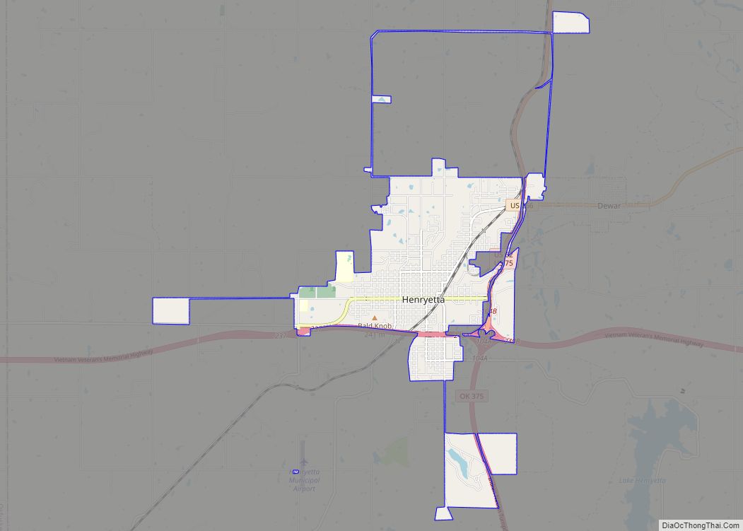
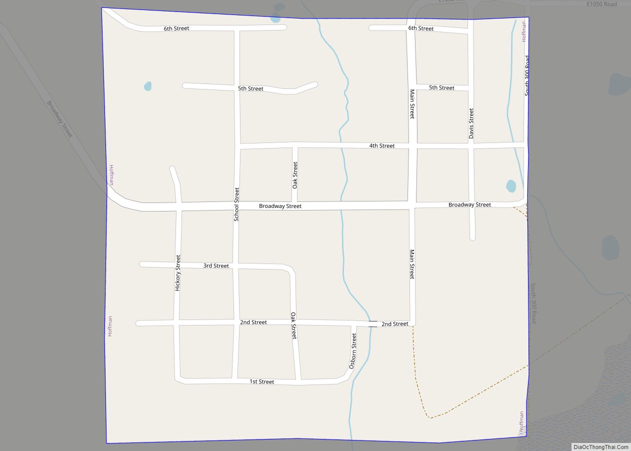
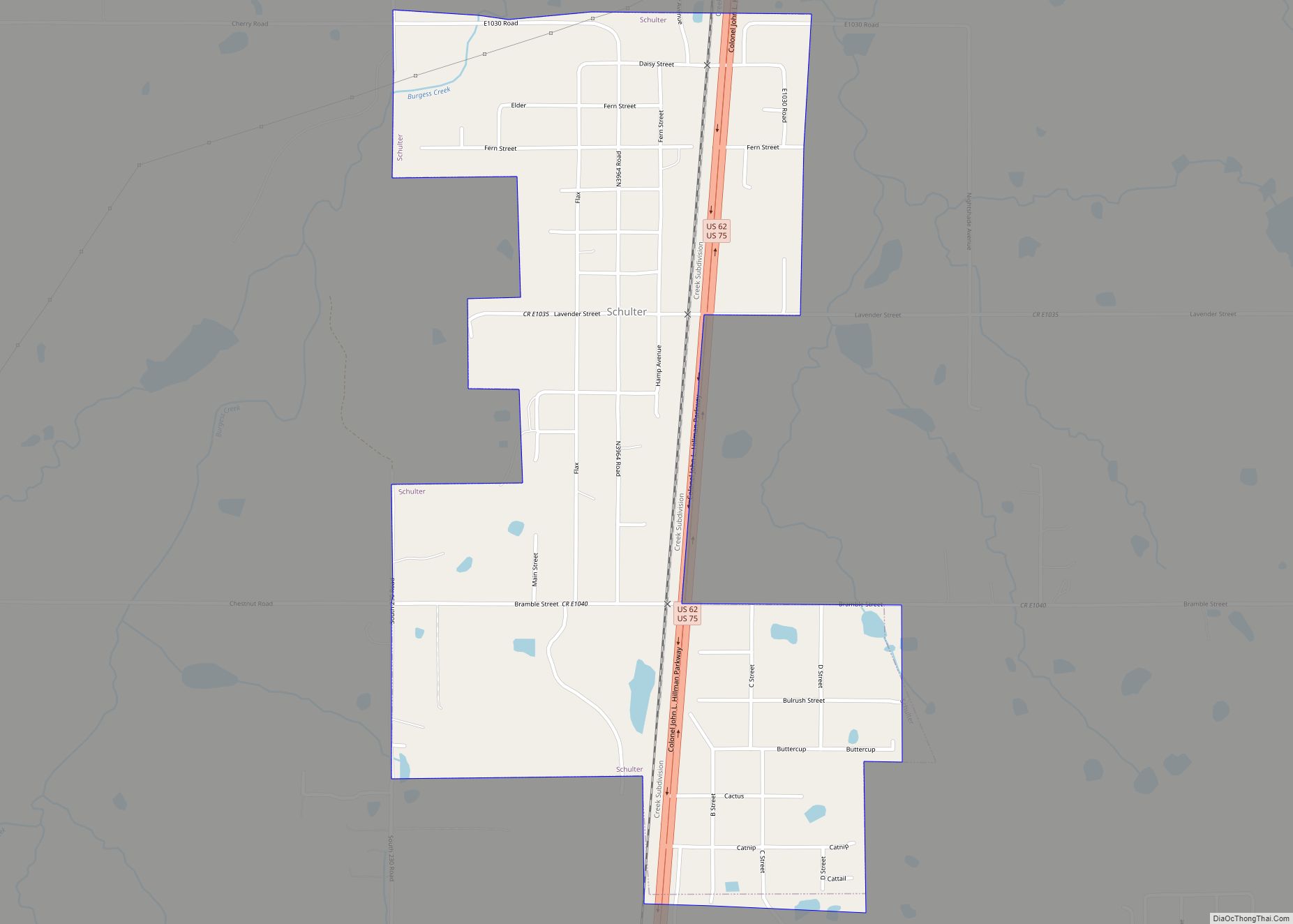
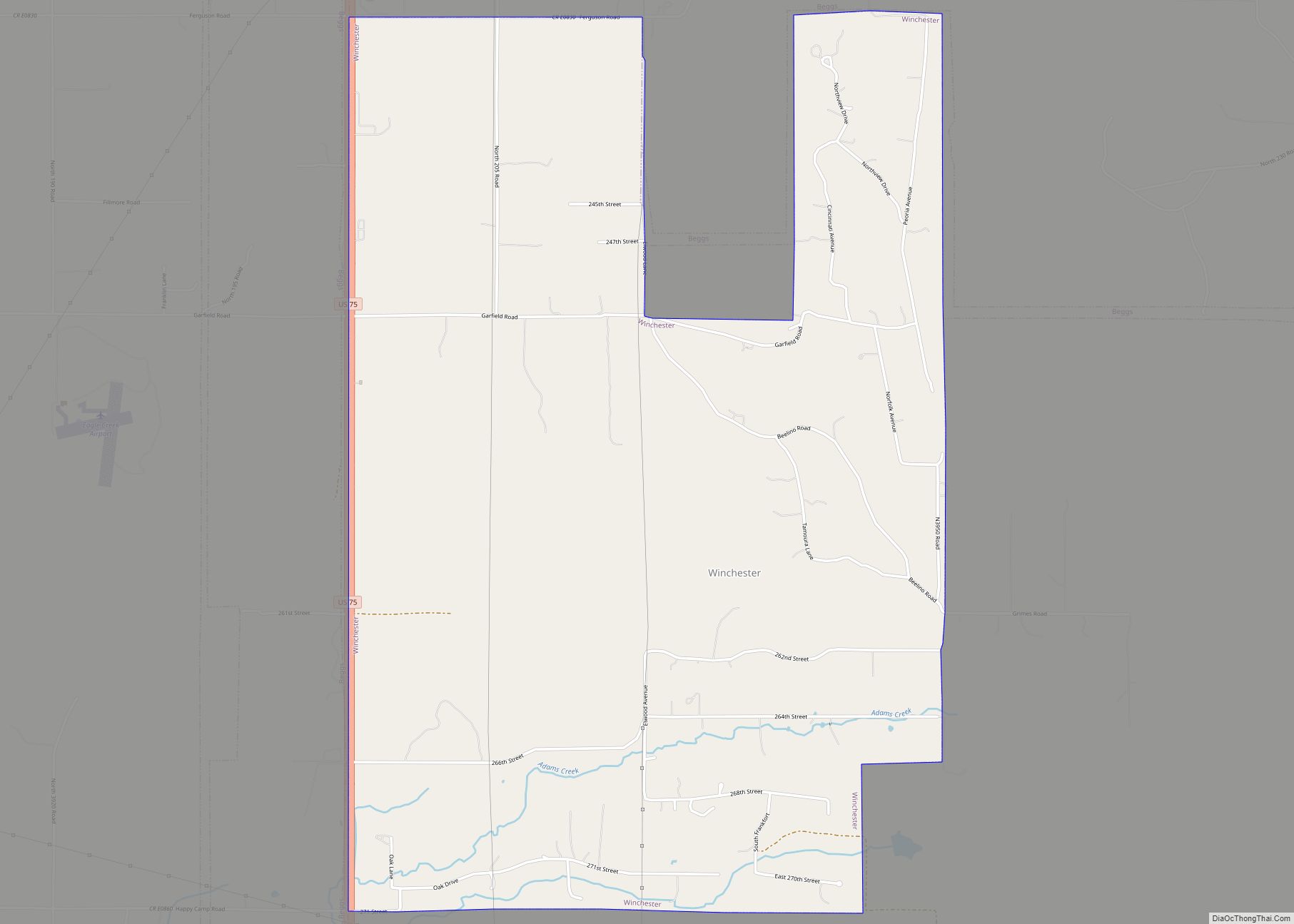
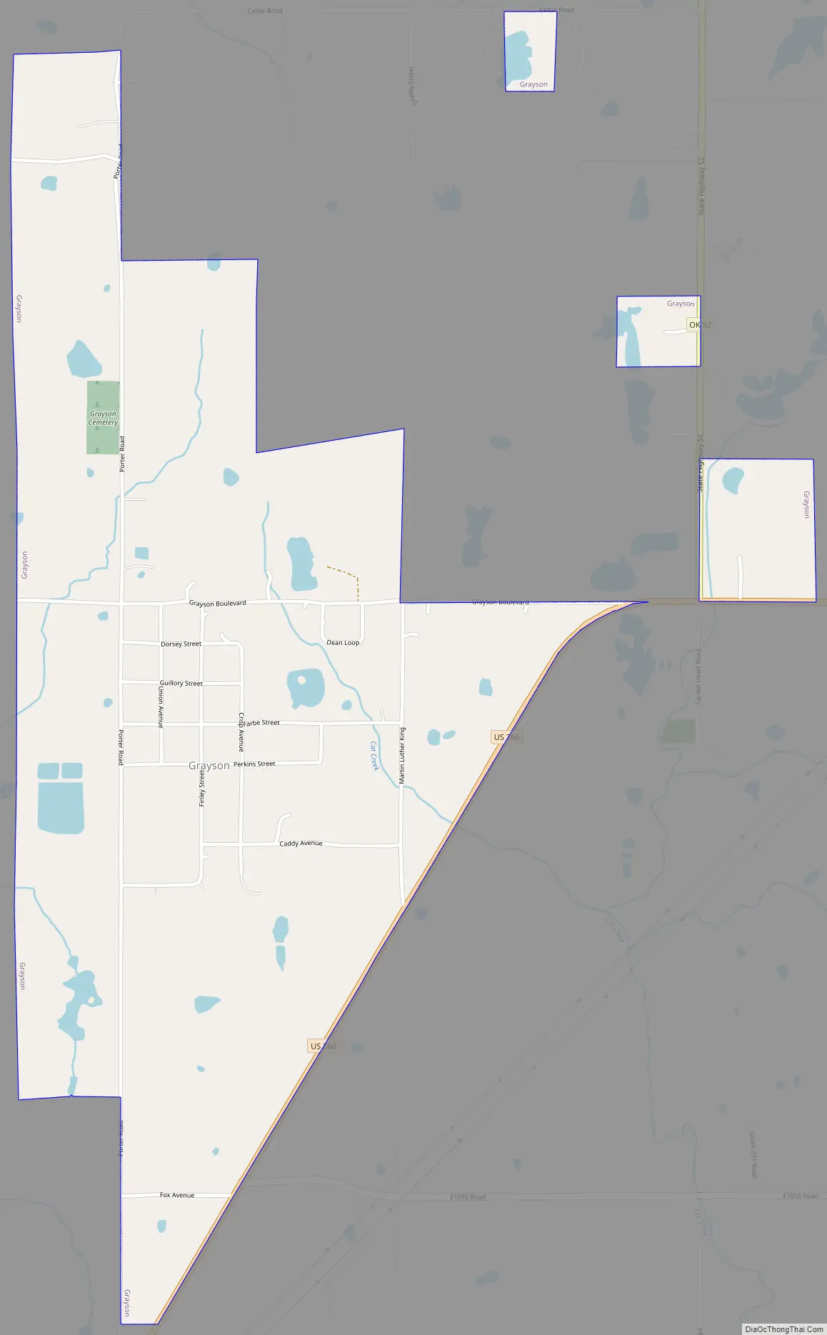
Online Interactive Map
Click on ![]() to view map in "full screen" mode.
to view map in "full screen" mode.
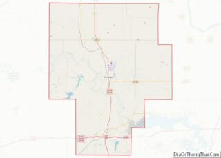
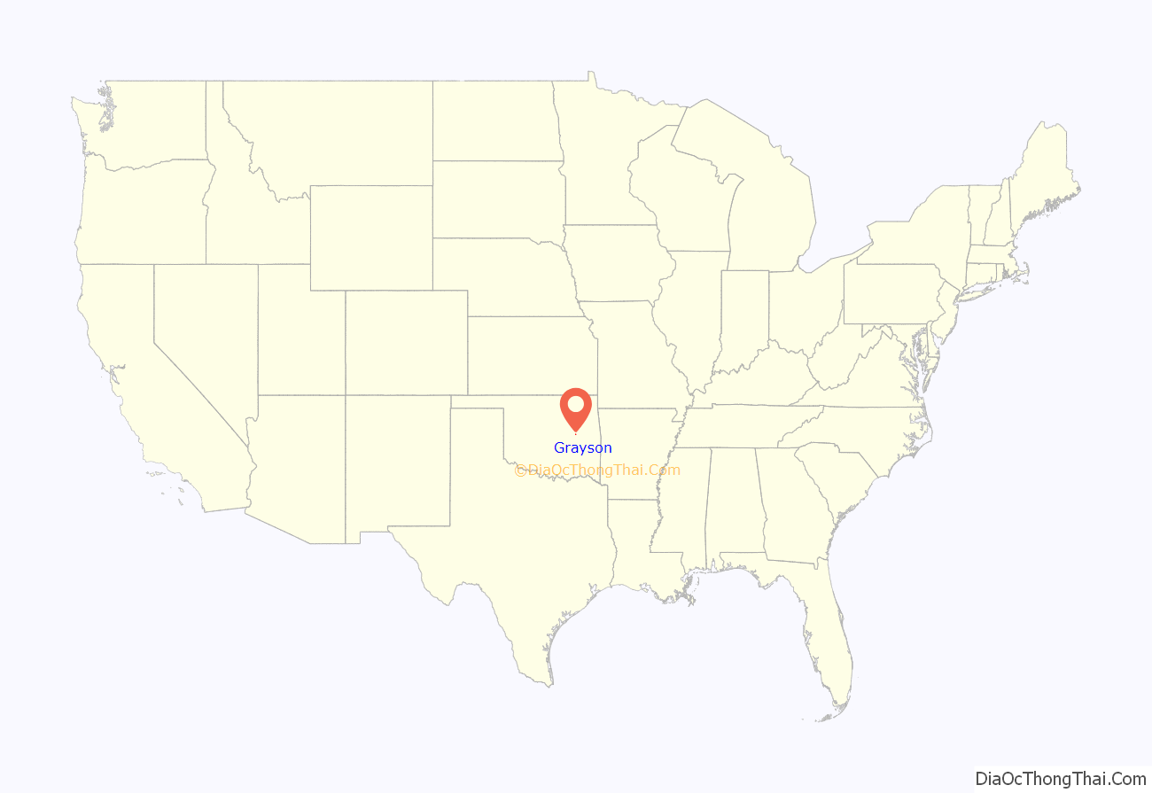
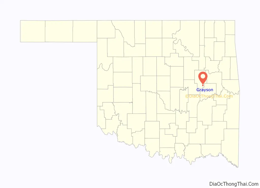
Grayson location map. Where is Grayson town?
History
Grayson was originally named Wildcat and was located within the area that became McIntosh County at statehood. It was named for a Muscogee chief, George W. Grayson. The name changed when Grayson’s post office was established February 10, 1902, although the legal town name remained as Wildcat into the 1960s. At statehood, the town had 375 residents. It grew slightly to 411 in 1910, then began to decline.
The Encyclopedia of Oklahoma History and Culture indicates it was an “All-Black Town,” one of more than fifty identifiable towns and settlements created by African-Americans within the borders of the current State of Oklahoma from 1865 to 1920.
In 1918, the border between McIntosh and Okmulgee counties was realigned, which brought Grayson into Okmulgee County.
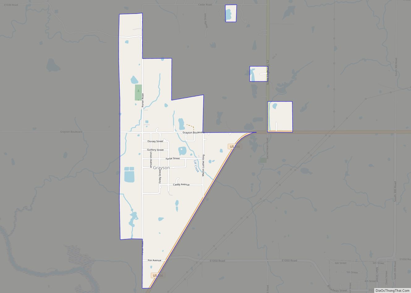
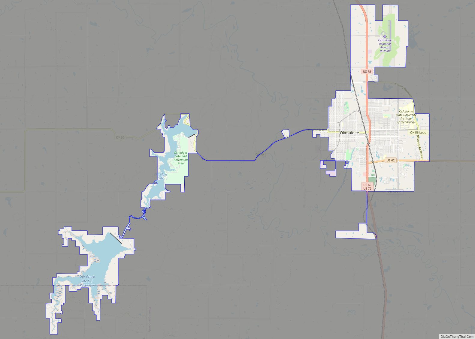
Grayson Road Map
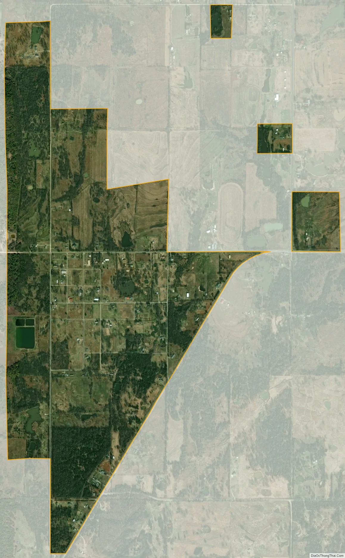
Grayson city Satellite Map
Geography
Grayson is located at 35°30′21″N 95°52′21″W / 35.50583°N 95.87250°W / 35.50583; -95.87250 (35.505738, -95.872362). It is approximately 11 miles (18 km) southeast of the City of Okmulgee, the Okmulgee County seat.
According to the United States Census Bureau, the town has a total area of 1.1 square miles (2.8 km), all land.
See also
Map of Oklahoma State and its subdivision:- Adair
- Alfalfa
- Atoka
- Beaver
- Beckham
- Blaine
- Bryan
- Caddo
- Canadian
- Carter
- Cherokee
- Choctaw
- Cimarron
- Cleveland
- Coal
- Comanche
- Cotton
- Craig
- Creek
- Custer
- Delaware
- Dewey
- Ellis
- Garfield
- Garvin
- Grady
- Grant
- Greer
- Harmon
- Harper
- Haskell
- Hughes
- Jackson
- Jefferson
- Johnston
- Kay
- Kingfisher
- Kiowa
- Latimer
- Le Flore
- Lincoln
- Logan
- Love
- Major
- Marshall
- Mayes
- McClain
- McCurtain
- McIntosh
- Murray
- Muskogee
- Noble
- Nowata
- Okfuskee
- Oklahoma
- Okmulgee
- Osage
- Ottawa
- Pawnee
- Payne
- Pittsburg
- Pontotoc
- Pottawatomie
- Pushmataha
- Roger Mills
- Rogers
- Seminole
- Sequoyah
- Stephens
- Texas
- Tillman
- Tulsa
- Wagoner
- Washington
- Washita
- Woods
- Woodward
- Alabama
- Alaska
- Arizona
- Arkansas
- California
- Colorado
- Connecticut
- Delaware
- District of Columbia
- Florida
- Georgia
- Hawaii
- Idaho
- Illinois
- Indiana
- Iowa
- Kansas
- Kentucky
- Louisiana
- Maine
- Maryland
- Massachusetts
- Michigan
- Minnesota
- Mississippi
- Missouri
- Montana
- Nebraska
- Nevada
- New Hampshire
- New Jersey
- New Mexico
- New York
- North Carolina
- North Dakota
- Ohio
- Oklahoma
- Oregon
- Pennsylvania
- Rhode Island
- South Carolina
- South Dakota
- Tennessee
- Texas
- Utah
- Vermont
- Virginia
- Washington
- West Virginia
- Wisconsin
- Wyoming