Heavener /ˈhiːvnər/ is a city in Le Flore County, Oklahoma, United States. It is part of the Fort Smith, Arkansas-Oklahoma Metropolitan Statistical Area. The population was 3,414 at the 2010 census, an increase of 6.7 percent from 3,201 at the 2000 census. Heavener is notable for the Heavener Runestone just outside the city limits.
| Name: | Heavener city |
|---|---|
| LSAD Code: | 25 |
| LSAD Description: | city (suffix) |
| State: | Oklahoma |
| County: | Le Flore County |
| Elevation: | 420 ft (128 m) |
| Total Area: | 4.92 sq mi (12.74 km²) |
| Land Area: | 4.91 sq mi (12.71 km²) |
| Water Area: | 0.01 sq mi (0.03 km²) |
| Total Population: | 2,985 |
| Population Density: | 608.07/sq mi (234.76/km²) |
| ZIP code: | 74937 |
| Area code: | 539/918 |
| FIPS code: | 4033400 |
| GNISfeature ID: | 1093640 |
| Website: | www.cityofheavener.us |
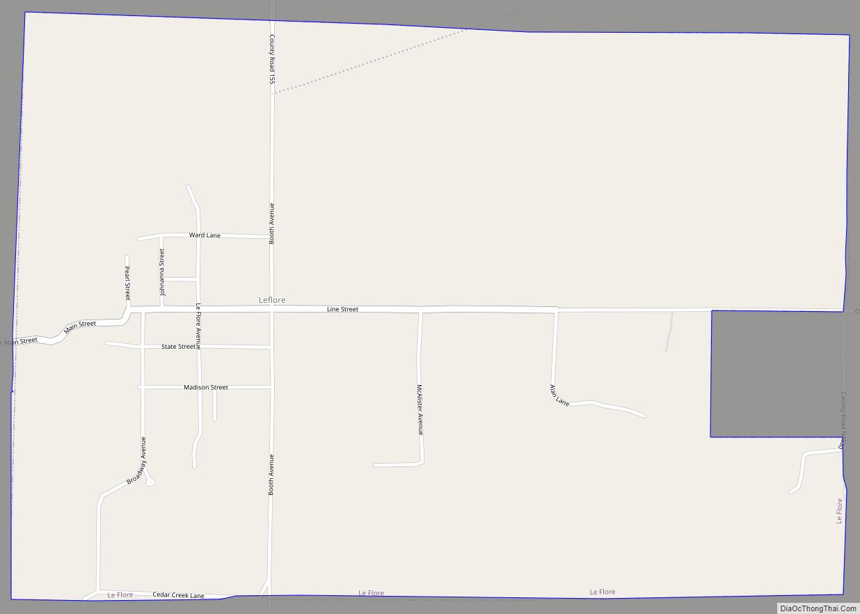
Online Interactive Map
Click on ![]() to view map in "full screen" mode.
to view map in "full screen" mode.
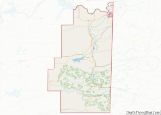
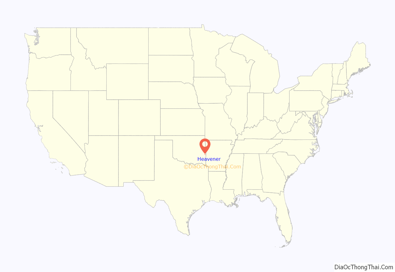
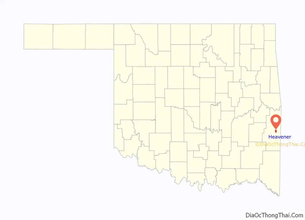
Heavener location map. Where is Heavener city?
History
Joseph H. Heavener and some other white settlers arrived, secured permits to farm from the Choctaw Indians and settled down to farm. In 1880, Zachary Taylor Ward and his Choctaw Indian wife, Tabitha Hickman Ward, moved their store at Skullyville to the present site of Heavener. Ward died in 1883, and his widow, Tabitha, married Heavener. The couple owned the land on which the town was established. Prior to being named Heavener by a popular vote in 1895, the area was known by several different names, including Prairie of the Tall Grass, Choctaw City, Prairie View, Long Prairie, and Grand Prairie.
At the time of its founding, and through Oklahoma’s statehood in 1907, Heavener was located in Sugar Loaf County, one of the counties making up the Moshulatubbee District of the Choctaw Nation.
Suitable agricultural land around Heavener attracted many farmers as settlers. Other improvements soon followed. A cotton gin and a grist mill were built in town in 1885. In 1896 the Kansas City, Pittsburg and Gulf Railroad built tracks through the town. A post office was established in a boxcar on May 12, 1896 while another boxcar became the train station. In 1900-1901 the Arkansas Western Railroad constructed tracks from Heavener east to Arkansas.
The Curtis Act allowed Heavener to incorporate in Indian Territory in 1898, with Henry Moore elected as the first mayor. The town population was 254 in 1900. After the Kansas City Southern Railway purchased the rail line in 1900, the company established a roundhouse in 1910, making Heavener a division point. By 1910, the population was 780, and continued increasing to 1,850 in 1920.
Mining and timber became to the local economy in the 1930s. The 1930 census showed population of Heavener was 2,269. The Burnett Lumber Company opened a sawmill in 1935. Then the population began declining to 2,103 in 1950. A recovery began when the Heavener Charcoal Company began producing charcoal from its kilns in Heavener, shipping it to a plant in Arkansas. The 1970 census showed 2,566 residents in the town. However, the Burnett sawmill burned down in 1981.
Poultry farming became an important activity in the late 20th century. OK Foods established a hatchery in 1986. In 1992, the company built a poultry processing plant, and in 1995, it built a poultry feed mill.
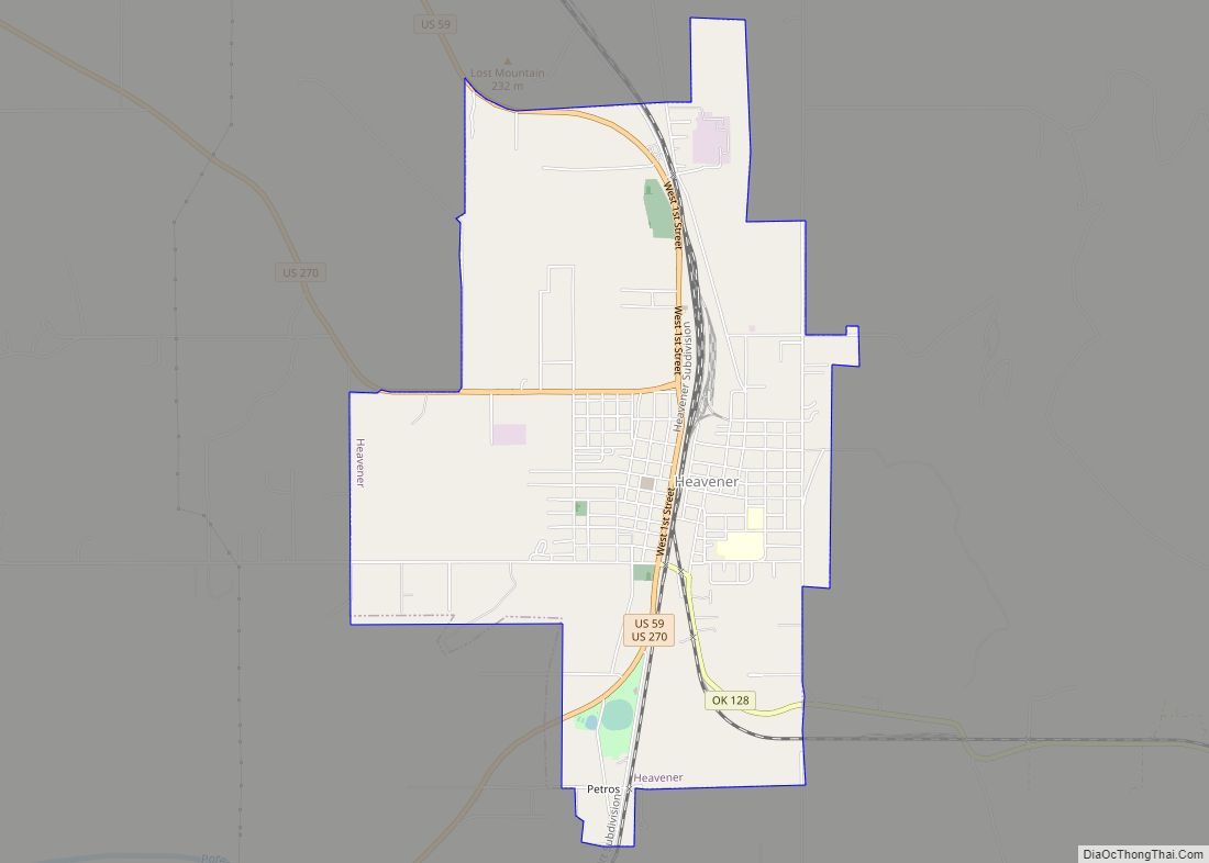
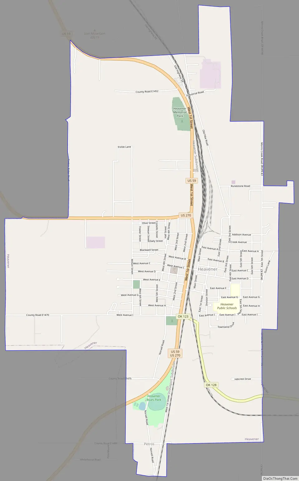
Heavener Road Map
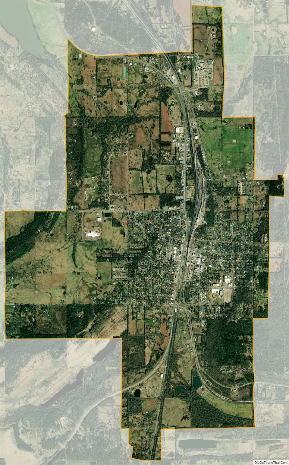
Heavener city Satellite Map
Geography
Heavener is located at 34°53′21″N 94°36′15″W / 34.88917°N 94.60417°W / 34.88917; -94.60417 (34.889108, −94.604217). It is 12 miles (19 km) south of Poteau, the LeFlore county seat.
According to the United States Census Bureau, the city has a total area of 4.9 square miles (13 km), of which 4.9 square miles (13 km) is land and 0.04 square miles (0.10 km) (0.40%) is water.
See also
Map of Oklahoma State and its subdivision:- Adair
- Alfalfa
- Atoka
- Beaver
- Beckham
- Blaine
- Bryan
- Caddo
- Canadian
- Carter
- Cherokee
- Choctaw
- Cimarron
- Cleveland
- Coal
- Comanche
- Cotton
- Craig
- Creek
- Custer
- Delaware
- Dewey
- Ellis
- Garfield
- Garvin
- Grady
- Grant
- Greer
- Harmon
- Harper
- Haskell
- Hughes
- Jackson
- Jefferson
- Johnston
- Kay
- Kingfisher
- Kiowa
- Latimer
- Le Flore
- Lincoln
- Logan
- Love
- Major
- Marshall
- Mayes
- McClain
- McCurtain
- McIntosh
- Murray
- Muskogee
- Noble
- Nowata
- Okfuskee
- Oklahoma
- Okmulgee
- Osage
- Ottawa
- Pawnee
- Payne
- Pittsburg
- Pontotoc
- Pottawatomie
- Pushmataha
- Roger Mills
- Rogers
- Seminole
- Sequoyah
- Stephens
- Texas
- Tillman
- Tulsa
- Wagoner
- Washington
- Washita
- Woods
- Woodward
- Alabama
- Alaska
- Arizona
- Arkansas
- California
- Colorado
- Connecticut
- Delaware
- District of Columbia
- Florida
- Georgia
- Hawaii
- Idaho
- Illinois
- Indiana
- Iowa
- Kansas
- Kentucky
- Louisiana
- Maine
- Maryland
- Massachusetts
- Michigan
- Minnesota
- Mississippi
- Missouri
- Montana
- Nebraska
- Nevada
- New Hampshire
- New Jersey
- New Mexico
- New York
- North Carolina
- North Dakota
- Ohio
- Oklahoma
- Oregon
- Pennsylvania
- Rhode Island
- South Carolina
- South Dakota
- Tennessee
- Texas
- Utah
- Vermont
- Virginia
- Washington
- West Virginia
- Wisconsin
- Wyoming