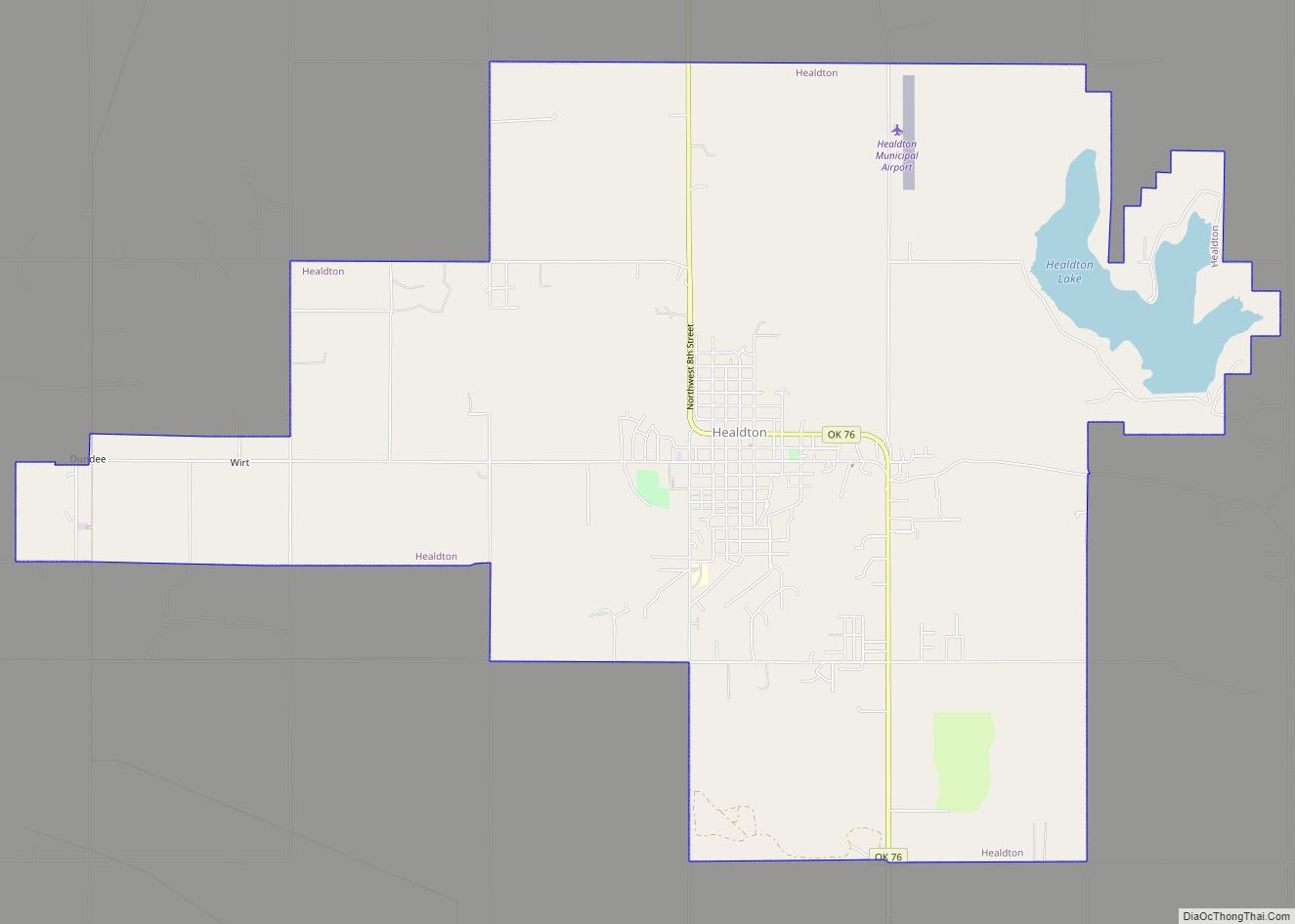
Healdton is a city in Carter County, Oklahoma, United States. Its population was 2,788 at the 2010 census. It is part of the Ardmore micropolitan statistical area.
| Name: | Healdton city |
|---|---|
| LSAD Code: | 25 |
| LSAD Description: | city (suffix) |
| State: | Oklahoma |
| County: | Carter County |
| Elevation: | 965 ft (294 m) |
| Total Area: | 14.38 sq mi (37.25 km²) |
| Land Area: | 14.12 sq mi (36.56 km²) |
| Water Area: | 0.27 sq mi (0.69 km²) |
| Total Population: | 2,328 |
| Population Density: | 164.92/sq mi (63.68/km²) |
| ZIP code: | 73438 |
| Area code: | 580 |
| FIPS code: | 4033350 |
| GNISfeature ID: | 1093636 |
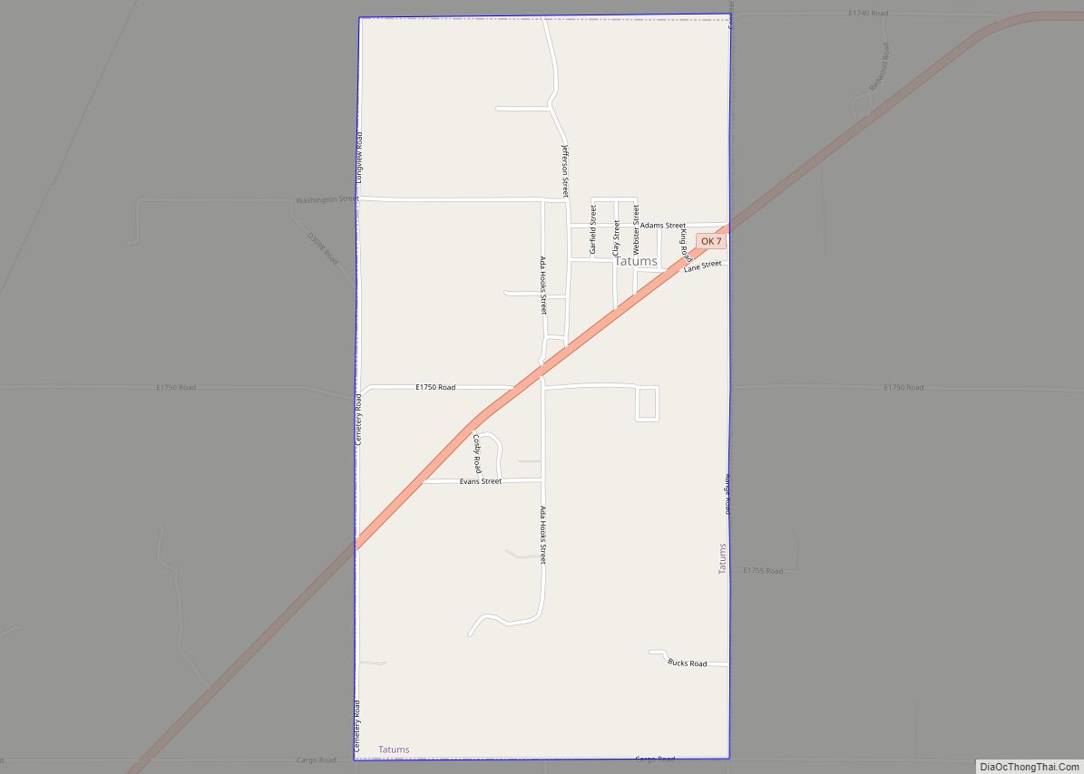
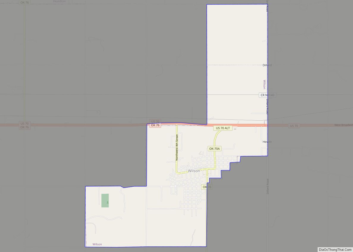
Online Interactive Map
Click on ![]() to view map in "full screen" mode.
to view map in "full screen" mode.
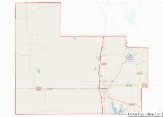
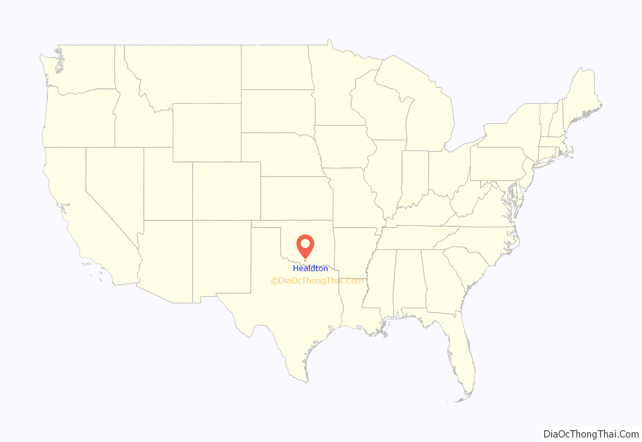
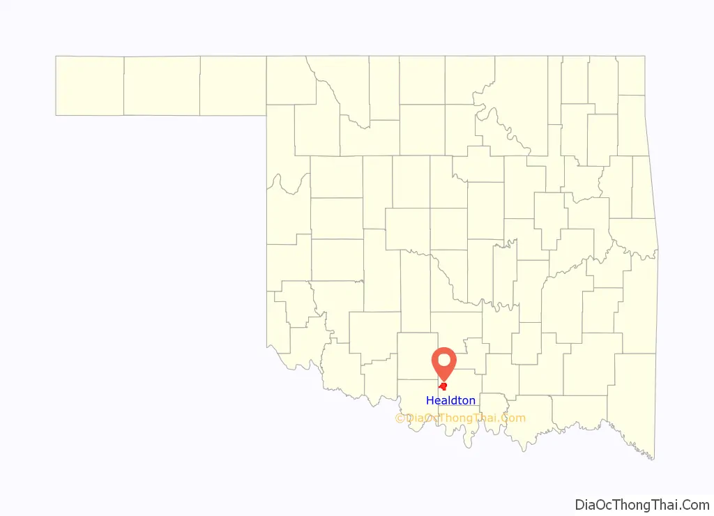
Healdton location map. Where is Healdton city?
History
A post office was established at Healdton, Indian Territory, on February 26, 1883. It was named for Charles H. Heald, a prominent resident. At the time of its founding, Healdton was located in Pickens County, Chickasaw Nation.
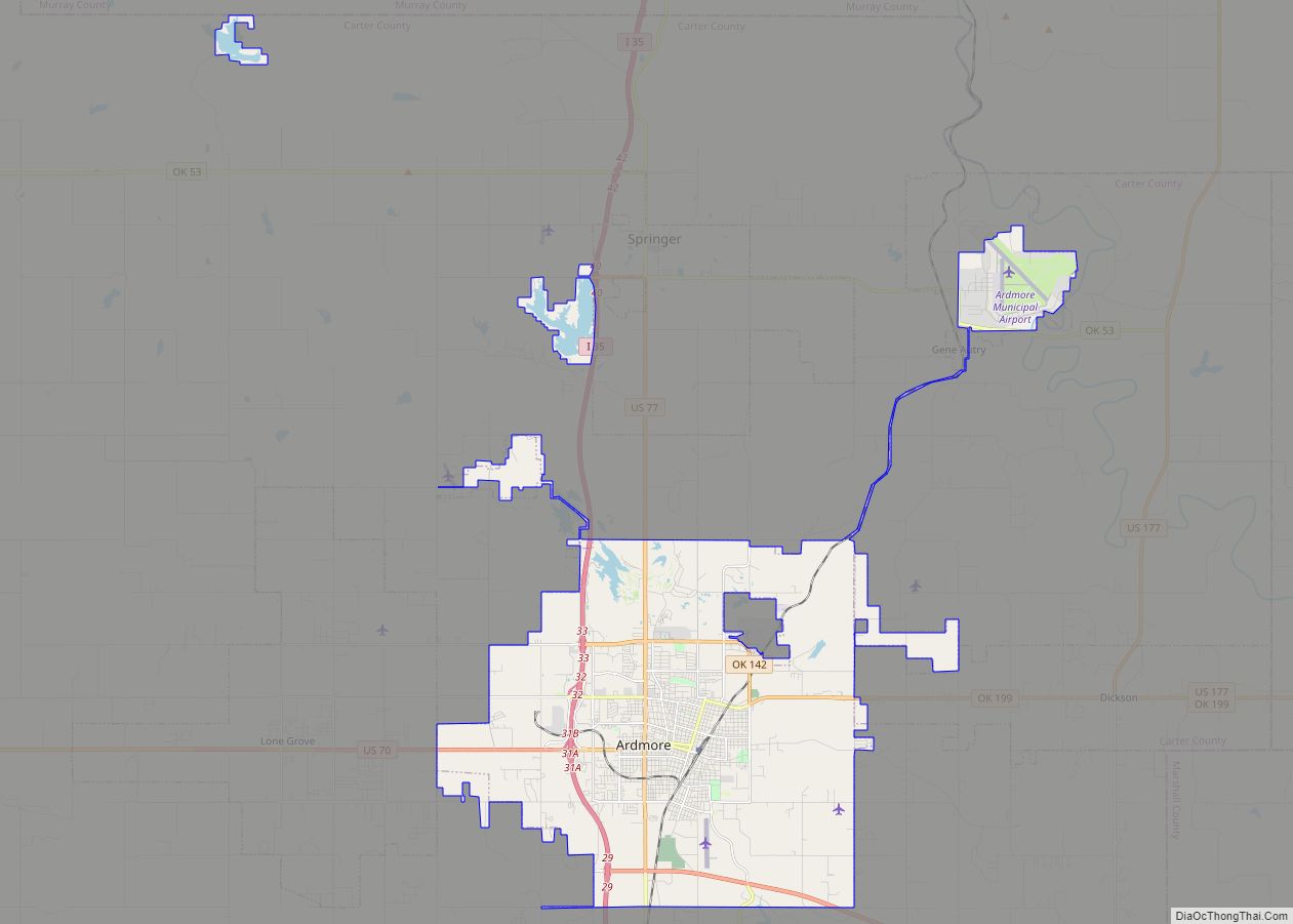
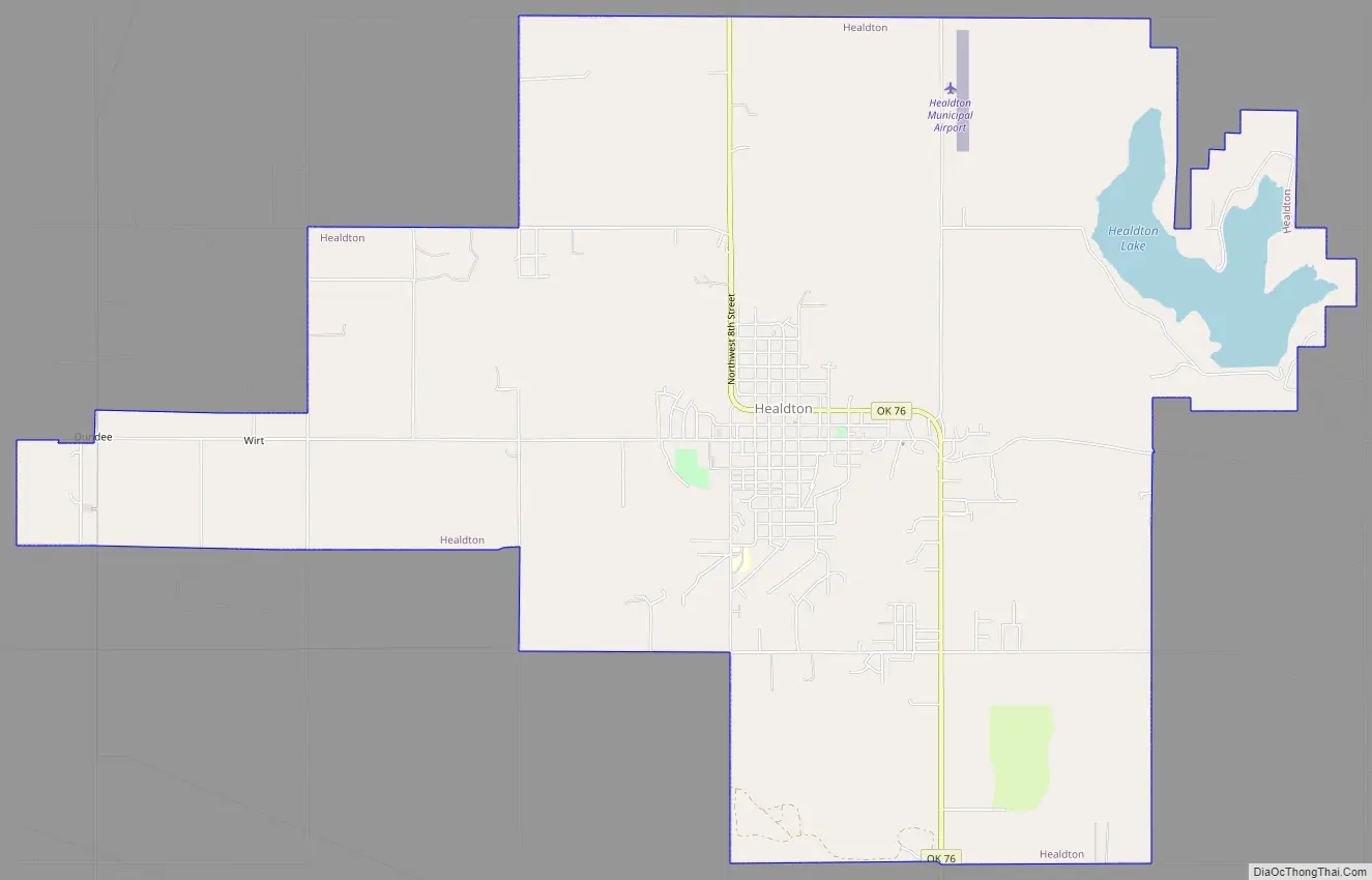
Healdton Road Map
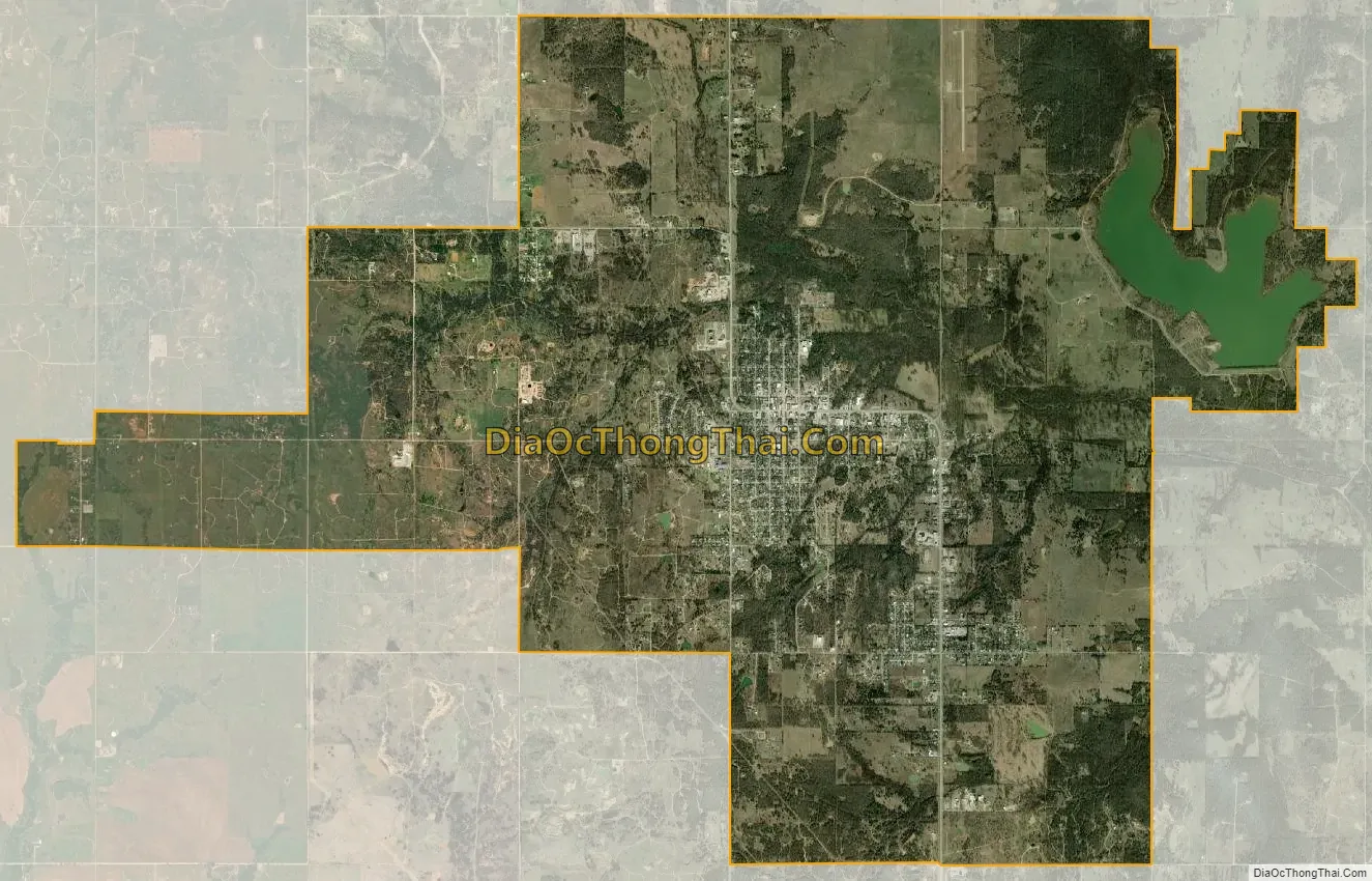
Healdton city Satellite Map
Geography
Healdton is located in western Carter County at 34°13′54″N 97°29′4″W / 34.23167°N 97.48444°W / 34.23167; -97.48444 (34.231557, -97.484454). Oklahoma State Highway 76 passes through the city, leading south 5 miles (8 km) to U.S. Route 70, west of Wilson and north 5 miles (8 km) to Oklahoma State Highway 53. Ardmore, the Carter County seat, is 23 miles (37 km) to the east via OK-76 and US-70.
According to the United States Census Bureau, Healdton has a total area of 14.4 square miles (37.3 km), of which 0.27 square miles (0.7 km), or 1.86%, is covered by water.
Healdton Municipal Lake, just northeast of Healdton, boasts 7 miles of shoreline and 370 surface acres.
Geology
The Healdton Field, encompassing Healdton and located in the western portion of Carter County, produces from the Pennsylvanian Healdton sands of the Hoxbar Group and the Ordovician massive carbonate Arbuckle Group. The field is located on the Healdton uplift, a northwest-southeast trending anticline, which formed with the Wichita Orogeny, and is 8 mi long and up to 3 mi wide. This was followed by deposition of the Healdton sandstones and shales on pre-Pennsylvanian eroded rocks and subsequent folding during the Arbuckle Orogeny. A prospector named Palmer drilled a shallow well, 425 feet, near an oil seep in the 1890s, but federal law prohibited oil development on “Indian lands” until the early 1900s. Therefore, the discovery of the field is credited to the drilling of No. 1 Wirt Franklin in 1913.
Climate
According to the Köppen Climate Classification system, Healdton has a humid subtropical climate, abbreviated “Cfa” on climate maps. The hottest temperature recorded in Healdton was 115 °F (46.1 °C) on August 2, 1896, while the coldest temperature recorded was −17 °F (−27.2 °C) on February 16, 2021.
See also
Map of Oklahoma State and its subdivision:- Adair
- Alfalfa
- Atoka
- Beaver
- Beckham
- Blaine
- Bryan
- Caddo
- Canadian
- Carter
- Cherokee
- Choctaw
- Cimarron
- Cleveland
- Coal
- Comanche
- Cotton
- Craig
- Creek
- Custer
- Delaware
- Dewey
- Ellis
- Garfield
- Garvin
- Grady
- Grant
- Greer
- Harmon
- Harper
- Haskell
- Hughes
- Jackson
- Jefferson
- Johnston
- Kay
- Kingfisher
- Kiowa
- Latimer
- Le Flore
- Lincoln
- Logan
- Love
- Major
- Marshall
- Mayes
- McClain
- McCurtain
- McIntosh
- Murray
- Muskogee
- Noble
- Nowata
- Okfuskee
- Oklahoma
- Okmulgee
- Osage
- Ottawa
- Pawnee
- Payne
- Pittsburg
- Pontotoc
- Pottawatomie
- Pushmataha
- Roger Mills
- Rogers
- Seminole
- Sequoyah
- Stephens
- Texas
- Tillman
- Tulsa
- Wagoner
- Washington
- Washita
- Woods
- Woodward
- Alabama
- Alaska
- Arizona
- Arkansas
- California
- Colorado
- Connecticut
- Delaware
- District of Columbia
- Florida
- Georgia
- Hawaii
- Idaho
- Illinois
- Indiana
- Iowa
- Kansas
- Kentucky
- Louisiana
- Maine
- Maryland
- Massachusetts
- Michigan
- Minnesota
- Mississippi
- Missouri
- Montana
- Nebraska
- Nevada
- New Hampshire
- New Jersey
- New Mexico
- New York
- North Carolina
- North Dakota
- Ohio
- Oklahoma
- Oregon
- Pennsylvania
- Rhode Island
- South Carolina
- South Dakota
- Tennessee
- Texas
- Utah
- Vermont
- Virginia
- Washington
- West Virginia
- Wisconsin
- Wyoming