Grove is a city in Delaware County, Oklahoma, United States. The population was 6,623 at the 2010 census, an increase of 27.6 percent over the figure of 5,131 recorded in 2000. Grove is surrounded by Grand Lake o’ the Cherokees, a professional bass fishing tournament lake and recreational hotspot during the travel season of Memorial Day to Labor Day.
| Name: | Grove city |
|---|---|
| LSAD Code: | 25 |
| LSAD Description: | city (suffix) |
| State: | Oklahoma |
| County: | Delaware County |
| Elevation: | 774 ft (236 m) |
| Total Area: | 9.51 sq mi (24.63 km²) |
| Land Area: | 9.50 sq mi (24.60 km²) |
| Water Area: | 0.01 sq mi (0.03 km²) |
| Total Population: | 6,956 |
| Population Density: | 732.29/sq mi (282.73/km²) |
| ZIP code: | 74344-74345 |
| Area code: | 539/918 |
| FIPS code: | 4031600 |
| GNISfeature ID: | 1093427 |
| Website: | www.cityofgroveok.gov |
Online Interactive Map
Click on ![]() to view map in "full screen" mode.
to view map in "full screen" mode.
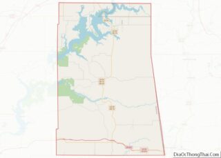
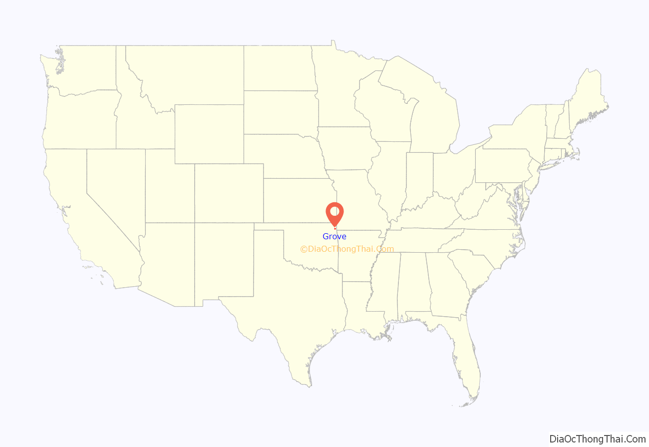
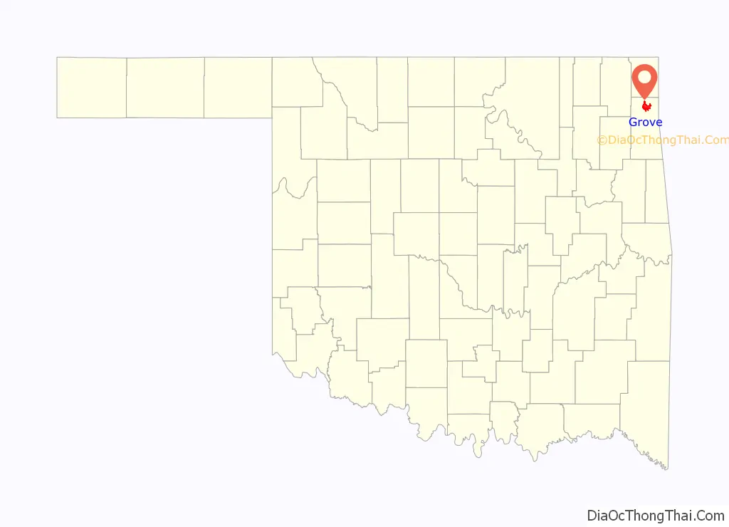
Grove location map. Where is Grove city?
History
Prior to Oklahoma statehood, Grove was part of the Delaware District of the Cherokee Nation in Indian Territory. It was named for a grove of trees where it was sited. A post office, named “Brennen”, was located in the limits of present-day Grove in 1888, but the city was not incorporated until the 1890s, making it the only incorporated town in Delaware County when Oklahoma became a state.
The city underwent a $3.7 million park project to attract fishing events to Grand Lake, most recently attracting the 2013 and 2016 Bassmaster Classic. Grove is also home to the Grand Lake Casino, which was opened in 1988.
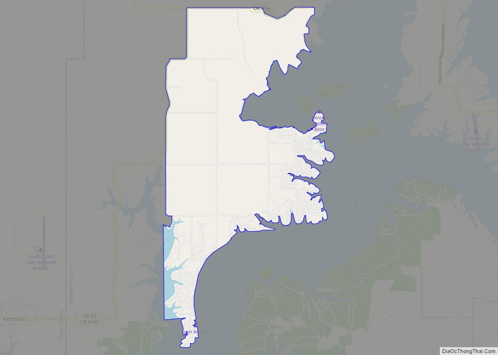
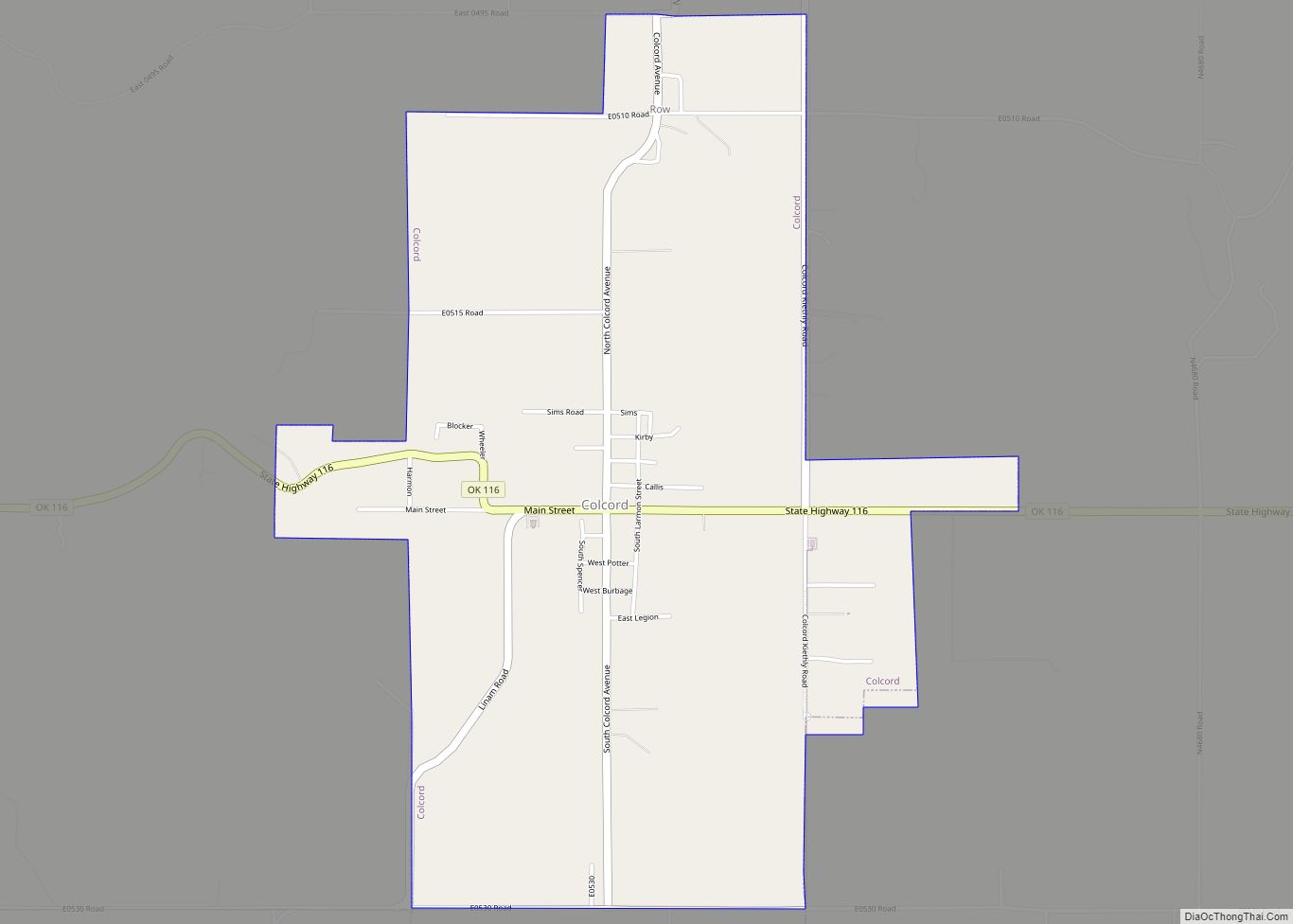
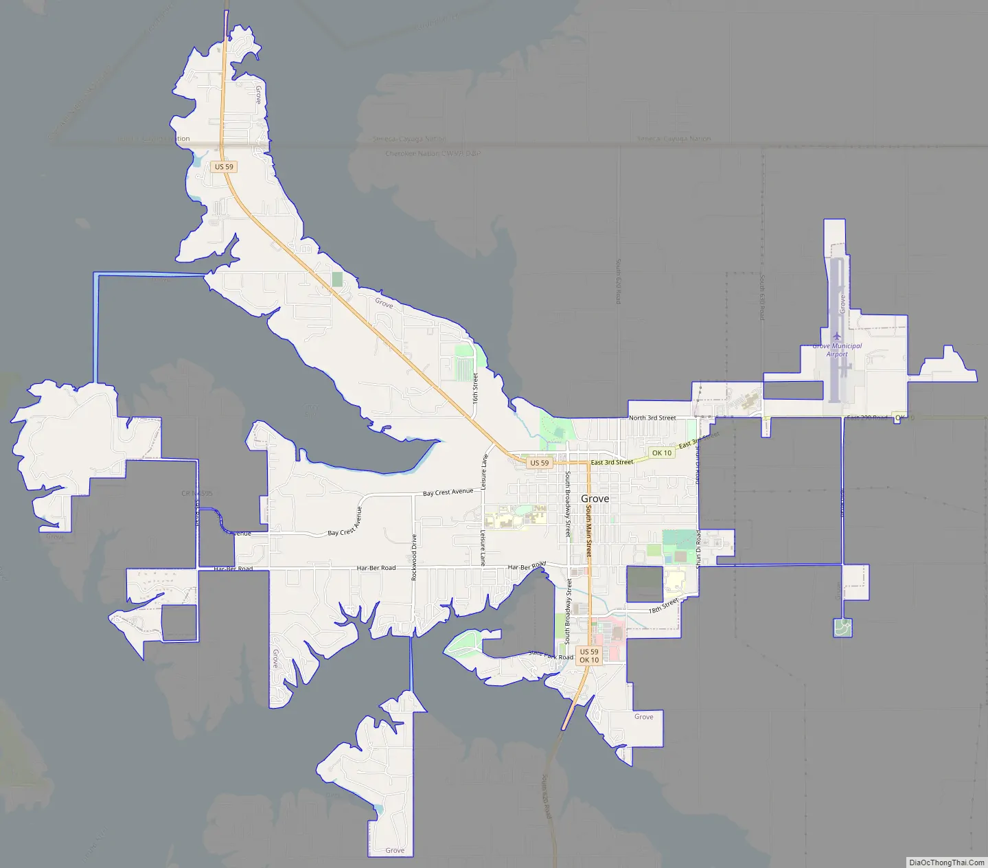
Grove Road Map
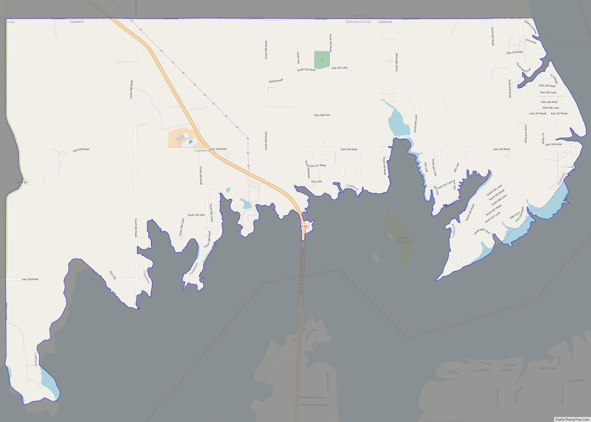
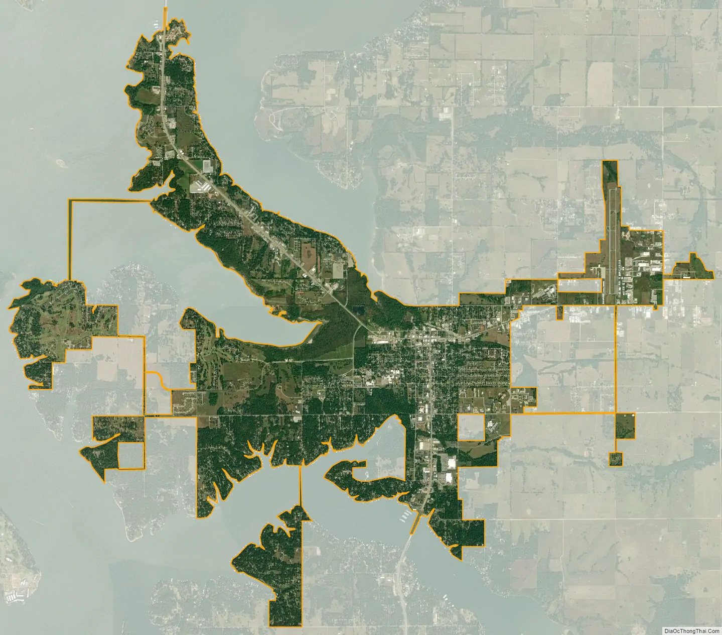
Grove city Satellite Map
Geography
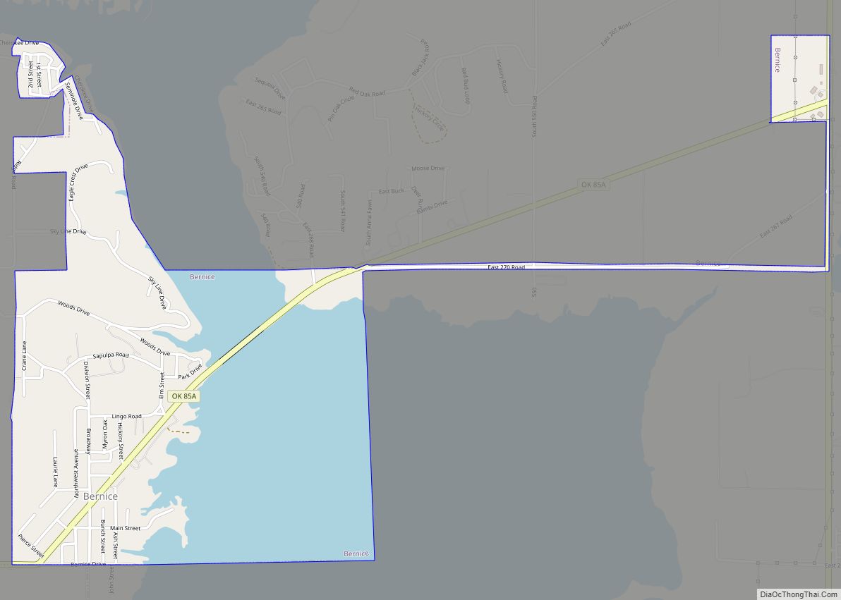
Grove is located in northern Delaware County at 36°35′19″N 94°46′59″W / 36.58861°N 94.78306°W / 36.58861; -94.78306 (36.588611, -94.783110), on the east side of the Grand Lake o’ the Cherokees. U.S. Route 59 passes through the city, leading north 15 miles (24 km) to Interstate 44 near Afton and south 12 miles (19 km) to Jay, the Delaware County seat. Oklahoma State Highways 10 and 25 lead east out of town.
Grove is also located 12.6 miles (20.27 km) southeast of two Burlington Northern Santa Fe (BNSF) subdivisions, the Cherokee from Tulsa, Oklahoma to Springfield, Missouri, and the Afton, from nearby Afton Oklahoma to Kansas City’s BNSF Argentine Yard. In nearby Afton lies Historic Route 66, now US-60. This historic route begins in Chicago, Illinois and ends in Santa Monica, California. It serves the states of Illinois, Missouri, Kansas, Oklahoma, Texas, New Mexico, Arizona, and California respectively.
According to the United States Census Bureau, the city has a total area of 9.3 square miles (24.0 km), of which 9.2 square miles (23.8 km) is land and 0.1 square miles (0.2 km), or 0.69%, is water.
See also
Map of Oklahoma State and its subdivision:- Adair
- Alfalfa
- Atoka
- Beaver
- Beckham
- Blaine
- Bryan
- Caddo
- Canadian
- Carter
- Cherokee
- Choctaw
- Cimarron
- Cleveland
- Coal
- Comanche
- Cotton
- Craig
- Creek
- Custer
- Delaware
- Dewey
- Ellis
- Garfield
- Garvin
- Grady
- Grant
- Greer
- Harmon
- Harper
- Haskell
- Hughes
- Jackson
- Jefferson
- Johnston
- Kay
- Kingfisher
- Kiowa
- Latimer
- Le Flore
- Lincoln
- Logan
- Love
- Major
- Marshall
- Mayes
- McClain
- McCurtain
- McIntosh
- Murray
- Muskogee
- Noble
- Nowata
- Okfuskee
- Oklahoma
- Okmulgee
- Osage
- Ottawa
- Pawnee
- Payne
- Pittsburg
- Pontotoc
- Pottawatomie
- Pushmataha
- Roger Mills
- Rogers
- Seminole
- Sequoyah
- Stephens
- Texas
- Tillman
- Tulsa
- Wagoner
- Washington
- Washita
- Woods
- Woodward
- Alabama
- Alaska
- Arizona
- Arkansas
- California
- Colorado
- Connecticut
- Delaware
- District of Columbia
- Florida
- Georgia
- Hawaii
- Idaho
- Illinois
- Indiana
- Iowa
- Kansas
- Kentucky
- Louisiana
- Maine
- Maryland
- Massachusetts
- Michigan
- Minnesota
- Mississippi
- Missouri
- Montana
- Nebraska
- Nevada
- New Hampshire
- New Jersey
- New Mexico
- New York
- North Carolina
- North Dakota
- Ohio
- Oklahoma
- Oregon
- Pennsylvania
- Rhode Island
- South Carolina
- South Dakota
- Tennessee
- Texas
- Utah
- Vermont
- Virginia
- Washington
- West Virginia
- Wisconsin
- Wyoming