Map of Hinton town, Oklahoma
Hinton is a town in Caddo County, Oklahoma, United States. The population was 3,196 as of the 2010 census, up from 2,175 in 2000. It is approximately 50 miles (80 km) west of Oklahoma City. Hinton town overview: Name: Hinton town LSAD Code: 43 LSAD Description: town (suffix) State: Oklahoma County: Caddo County Elevation: 1,677 ft (511 m) ... Read more
Map of Hinton town, Oklahoma
Map of Hillsdale town, Oklahoma
Hillsdale is a town in Garfield County, Oklahoma, United States. The population was 121 at the 2010 census, a 19.8 percent gain from the figure of 101 in 2000. Hillsdale town overview: Name: Hillsdale town LSAD Code: 43 LSAD Description: town (suffix) State: Oklahoma County: Garfield County Elevation: 1,227 ft (374 m) Total Area: 0.35 sq mi (0.90 km²) Land ... Read more
Map of Hillsdale town, Oklahoma
Map of Hickory town, Oklahoma
Hickory is a town in Murray County, Oklahoma, United States. The population was 87 at the 2000 census. Hickory was the birthplace and childhood home of Zack Mosley, the creator of the comic strip The Adventures of Smilin’ Jack, an adventurous aviator, inspired by Mosley witnessing an early plane crash in Hickory. Hickory town overview: ... Read more
Map of Hickory town, Oklahoma
Map of Henryetta city
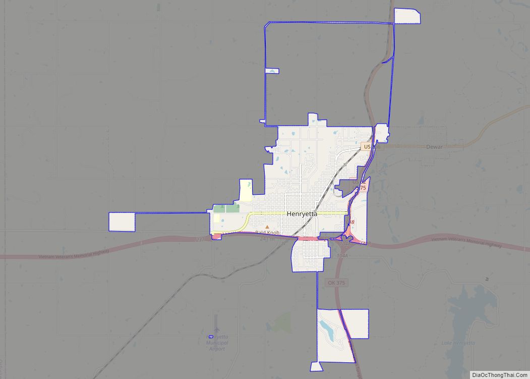
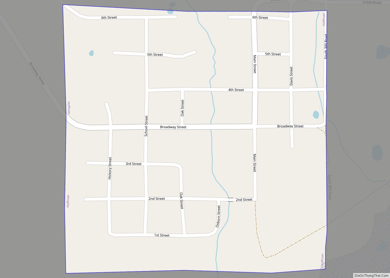
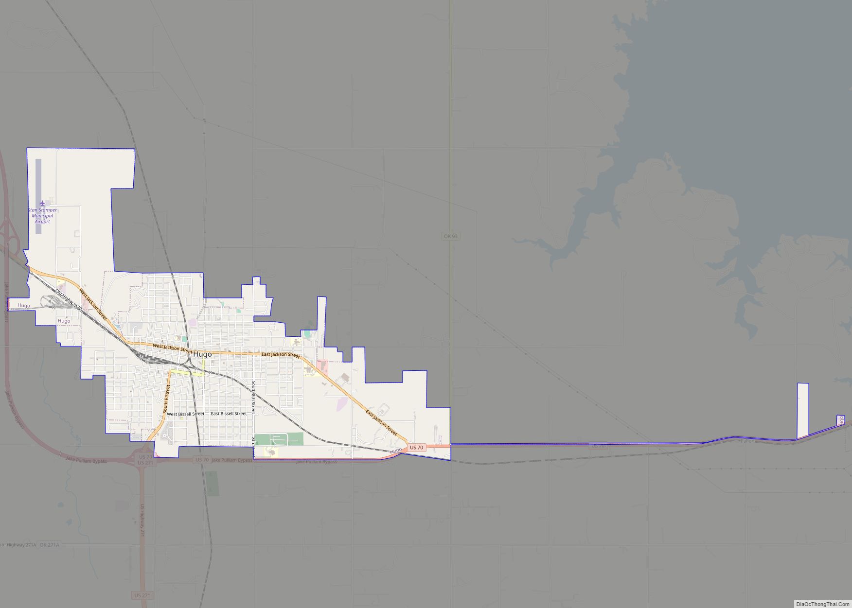
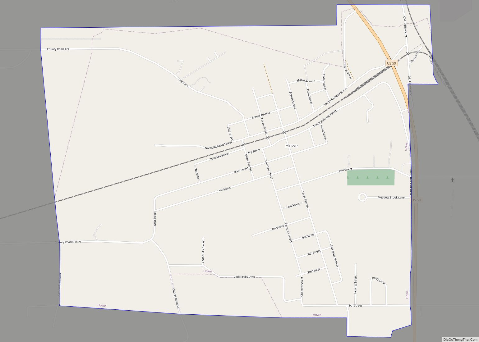
Henryetta is a city in Okmulgee County, Oklahoma, United States. The population was 5,927 at the 2010 census, down 2.8 percent from the figure of 6,096 recorded in 2000. Henryetta city overview: Name: Henryetta city LSAD Code: 25 LSAD Description: city (suffix) State: Oklahoma County: Okmulgee County Elevation: 682 ft (208 m) Total Area: 6.89 sq mi (17.83 km²) Land ... Read more
Map of Henryetta city
Map of Howe town, Oklahoma
Howe is a town in Le Flore County, Oklahoma, United States. It is part of the Fort Smith, Arkansas-Oklahoma Metropolitan Statistical Area. The population was 802 at the 2010 census, a gain of 15.1 percent over the figure of 697 recorded in 2000. The town was once noted for producing coal and coke, but today ... Read more
Map of Howe town, Oklahoma
Map of Horntown town, Oklahoma
Horntown is a town in Hughes County, Oklahoma, United States. The population was 97 at the 2010 census, up from the figure of 61 recorded in 2000. Horntown town overview: Name: Horntown town LSAD Code: 43 LSAD Description: town (suffix) State: Oklahoma County: Hughes County Elevation: 843 ft (257 m) Total Area: 4.01 sq mi (10.38 km²) Land Area: 3.95 sq mi ... Read more
Map of Horntown town, Oklahoma
Map of Hoot Owl town
Hoot Owl is a town in Mayes County, Oklahoma, United States and the smallest town in the state. Hoot Owl town overview: Name: Hoot Owl town LSAD Code: 43 LSAD Description: town (suffix) State: Oklahoma County: Mayes County Elevation: 709 ft (216 m) Total Area: 0.06 sq mi (0.16 km²) Land Area: 0.06 sq mi (0.15 km²) Water Area: 0.00 sq mi (0.00 km²) Total Population: ... Read more
Map of Hoot Owl town
Map of Hooker city
Hooker is a city in Texas County, Oklahoma, United States. As of the 2010 census, the city population was 1,918. It is located approximately 20 miles northeast of Guymon on US Route 54 highway. Hooker city overview: Name: Hooker city LSAD Code: 25 LSAD Description: city (suffix) State: Oklahoma County: Texas County Elevation: 2,990 ft (910 m) ... Read more
Map of Hooker city
Map of Hominy city
Hominy (Osage: Hą́mąðį “night-walker”) is a city in Osage County, Oklahoma, United States. The population was 3,565 at the 2010 census, a 38 percent increase over the figure of 2,584 recorded in 2000. The town was the home of an all-Native American football team in the 1920s. Parts of a docudrama on the Hominy Indians ... Read more
Map of Hominy city
Map of Hollister town, Oklahoma
Hollister is a town in Tillman County, Oklahoma, United States. The population was 50 at the 2010 census, a decline of 16.7 percent from 60 in 2000. Hollister town overview: Name: Hollister town LSAD Code: 43 LSAD Description: town (suffix) State: Oklahoma County: Tillman County Elevation: 1,125 ft (343 m) Total Area: 0.27 sq mi (0.69 km²) Land Area: 0.27 sq mi ... Read more
Map of Hollister town, Oklahoma
Map of Hollis city, Oklahoma
Hollis is a city in and the county seat of Harmon County, Oklahoma, United States. The population was 2,060 at the 2010 census. Hollis city overview: Name: Hollis city LSAD Code: 25 LSAD Description: city (suffix) State: Oklahoma County: Harmon County Elevation: 1,627 ft (496 m) Total Area: 1.49 sq mi (3.85 km²) Land Area: 1.49 sq mi (3.85 km²) Water Area: 0.00 sq mi ... Read more
Map of Hollis city, Oklahoma
Map of Holdenville city
Holdenville is a city in and county seat of Hughes County, Oklahoma, United States. The population was 5,771 at the 2010 census, an increase of 22 percent from 4,732 at the 2000 census. It is home to The Pork Group, a subsidiary of Tyson Foods; the Holdenville State Fish Hatchery, one of four operated by ... Read more
Map of Holdenville city