Helena is a town in southeastern Alfalfa County, Oklahoma, United States. Residents pronounce the town’s name with a long E: “Heh-LEE’-nuh.” The population was 1,403 at the 2010 census.
It is the site of the James Crabtree Correctional Center, run by the Oklahoma Department of Corrections, with a population of 1,003 inmates in 2010. It is the site of the Timberlake Public School district’s high school, shared with the nearby towns of Goltry, Jet, Nash, and Nescutunga.
| Name: | Helena town |
|---|---|
| LSAD Code: | 43 |
| LSAD Description: | town (suffix) |
| State: | Oklahoma |
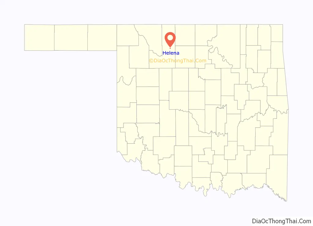
| County: | Alfalfa County |
| Elevation: | 1,414 ft (431 m) |
| Total Area: | 0.41 sq mi (1.06 km²) |
| Land Area: | 0.41 sq mi (1.06 km²) |
| Water Area: | 0.00 sq mi (0.00 km²) |
| Total Population: | 1,537 |
| Population Density: | 3,767.16/sq mi (1,455.18/km²) |
| ZIP code: | 73741 |
| Area code: | 580 |
| FIPS code: | 4033450 |
| GNISfeature ID: | 1093653 |
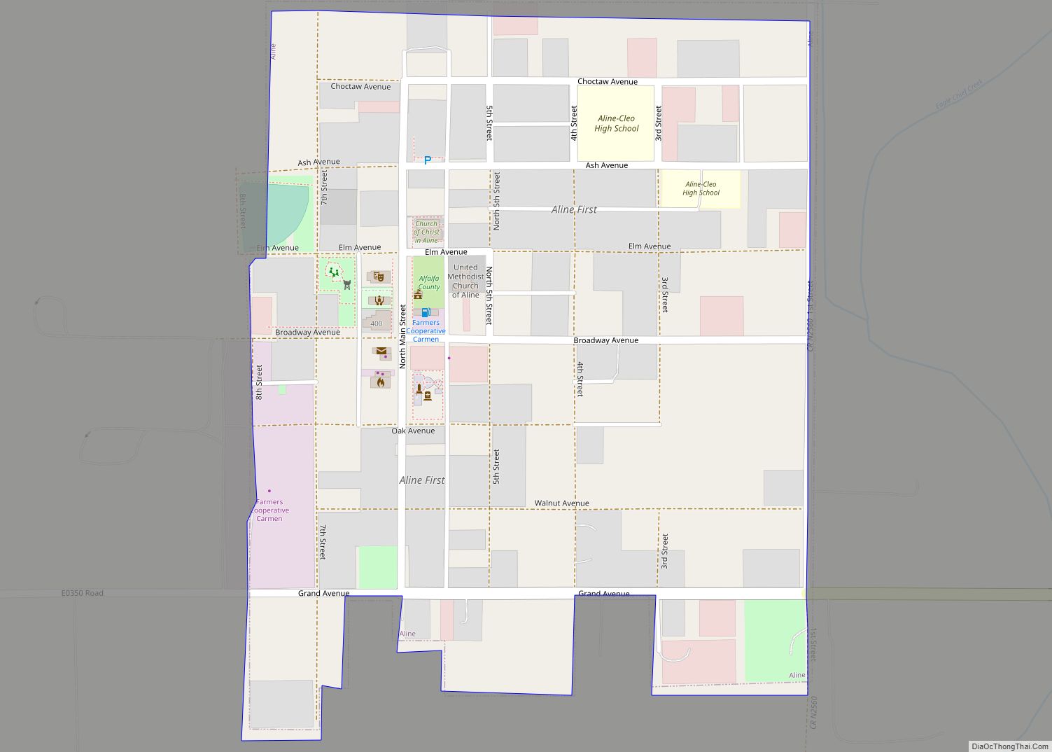
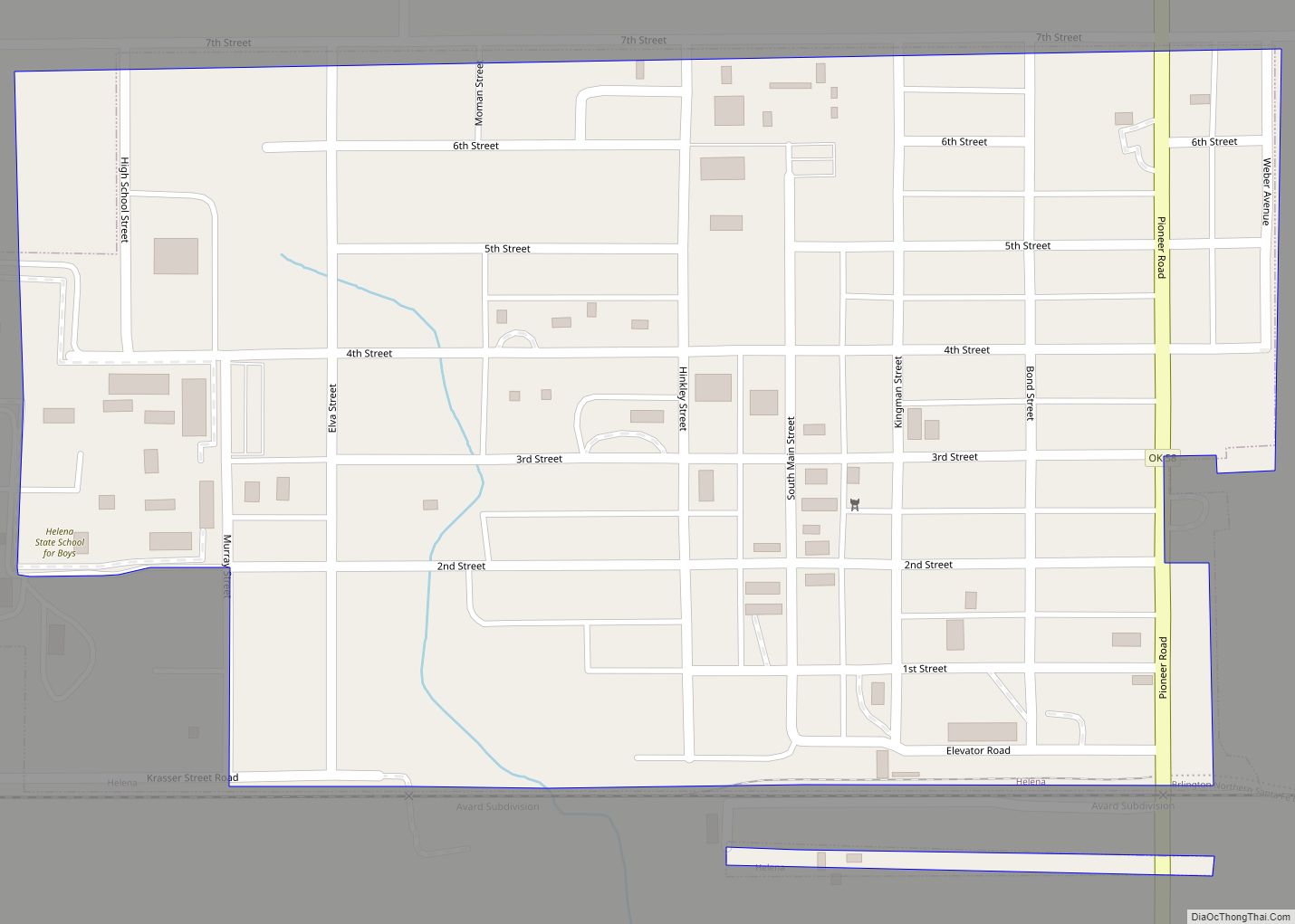
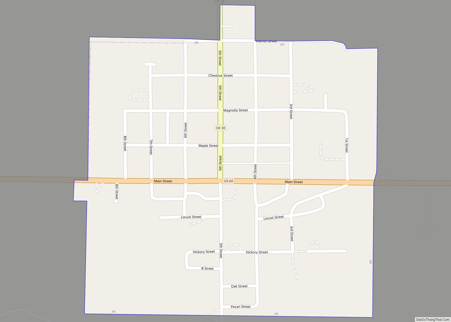
Online Interactive Map
Click on ![]() to view map in "full screen" mode.
to view map in "full screen" mode.
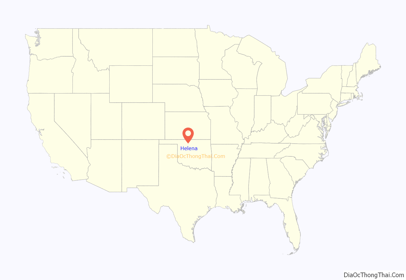
Helena location map. Where is Helena town?
History
In June 1915, Helen S. Monroe received a postal designation for Helena. Monroe became the first postmaster and the town’s namesake.
Shortly after the Cherokee Outlet opened to settlement, numerous small communities emerged in what was then southwestern Woods County (now Alfalfa county). When the Arkansas Valley and Western Railway survey bypassed the nearby settlement of Carwile, those residents began migrating closer to the proposed railroad, near where H. H. Anderson had established a store around 1896. The townsite was laid out nearby in 1902, and the village was incorporated the following year, by which time the population was 160.
The Woods County High School, one of only two in Oklahoma Territory at that time, was constructed in 1903 and opened in 1904 with 400 students. On January 6, 1904, the Arkansas Valley and Western Railway (part of the St. Louis and San Francisco Railway system) reached Helena. Growing fast, by mid-1905 it was estimated that 700 residents supported two banks, two schools, two newspapers, four grain elevators, a flour mill, and two lumberyards. By 1909, there were Baptist, Christian, Methodist, and Presbyterian churches. The 1910 census showed 760 residents, a number which had increased to 776 by 1940.
Helena Road Map
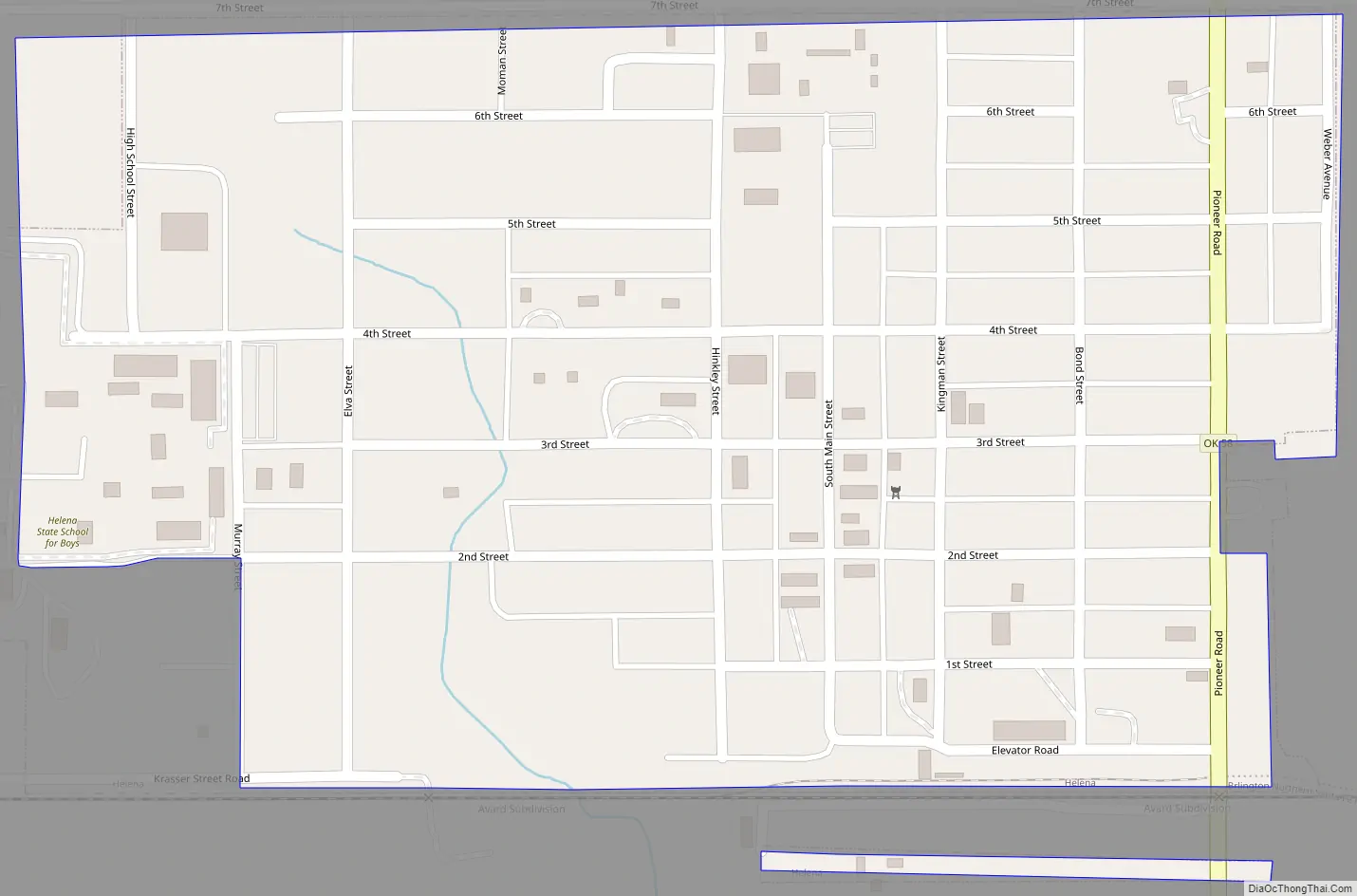
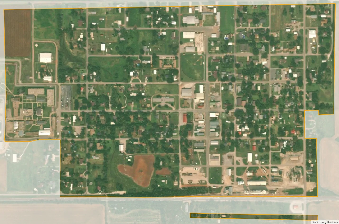
Helena city Satellite Map
Geography
Helena is located at 36°32′47″N 98°16′14″W / 36.54639°N 98.27056°W / 36.54639; -98.27056 (36.546478, -98.270558).
According to the United States Census Bureau, the town has a total area of 0.5 square miles (1.3 km), all land.
Helena lies along State Highway 58.
Climate
According to the Köppen Climate Classification system, Helena has a humid subtropical climate, abbreviated “Cfa” on climate maps. The hottest temperature recorded in Helena was 113 °F (45.0 °C) on June 25, 1911 and July 30, 1986, while the coldest temperature recorded was −21 °F (−29.4 °C) on February 10, 2011.
See also
Map of Oklahoma State and its subdivision:- Adair
- Alfalfa
- Atoka
- Beaver
- Beckham
- Blaine
- Bryan
- Caddo
- Canadian
- Carter
- Cherokee
- Choctaw
- Cimarron
- Cleveland
- Coal
- Comanche
- Cotton
- Craig
- Creek
- Custer
- Delaware
- Dewey
- Ellis
- Garfield
- Garvin
- Grady
- Grant
- Greer
- Harmon
- Harper
- Haskell
- Hughes
- Jackson
- Jefferson
- Johnston
- Kay
- Kingfisher
- Kiowa
- Latimer
- Le Flore
- Lincoln
- Logan
- Love
- Major
- Marshall
- Mayes
- McClain
- McCurtain
- McIntosh
- Murray
- Muskogee
- Noble
- Nowata
- Okfuskee
- Oklahoma
- Okmulgee
- Osage
- Ottawa
- Pawnee
- Payne
- Pittsburg
- Pontotoc
- Pottawatomie
- Pushmataha
- Roger Mills
- Rogers
- Seminole
- Sequoyah
- Stephens
- Texas
- Tillman
- Tulsa
- Wagoner
- Washington
- Washita
- Woods
- Woodward
- Alabama
- Alaska
- Arizona
- Arkansas
- California
- Colorado
- Connecticut
- Delaware
- District of Columbia
- Florida
- Georgia
- Hawaii
- Idaho
- Illinois
- Indiana
- Iowa
- Kansas
- Kentucky
- Louisiana
- Maine
- Maryland
- Massachusetts
- Michigan
- Minnesota
- Mississippi
- Missouri
- Montana
- Nebraska
- Nevada
- New Hampshire
- New Jersey
- New Mexico
- New York
- North Carolina
- North Dakota
- Ohio
- Oklahoma
- Oregon
- Pennsylvania
- Rhode Island
- South Carolina
- South Dakota
- Tennessee
- Texas
- Utah
- Vermont
- Virginia
- Washington
- West Virginia
- Wisconsin
- Wyoming