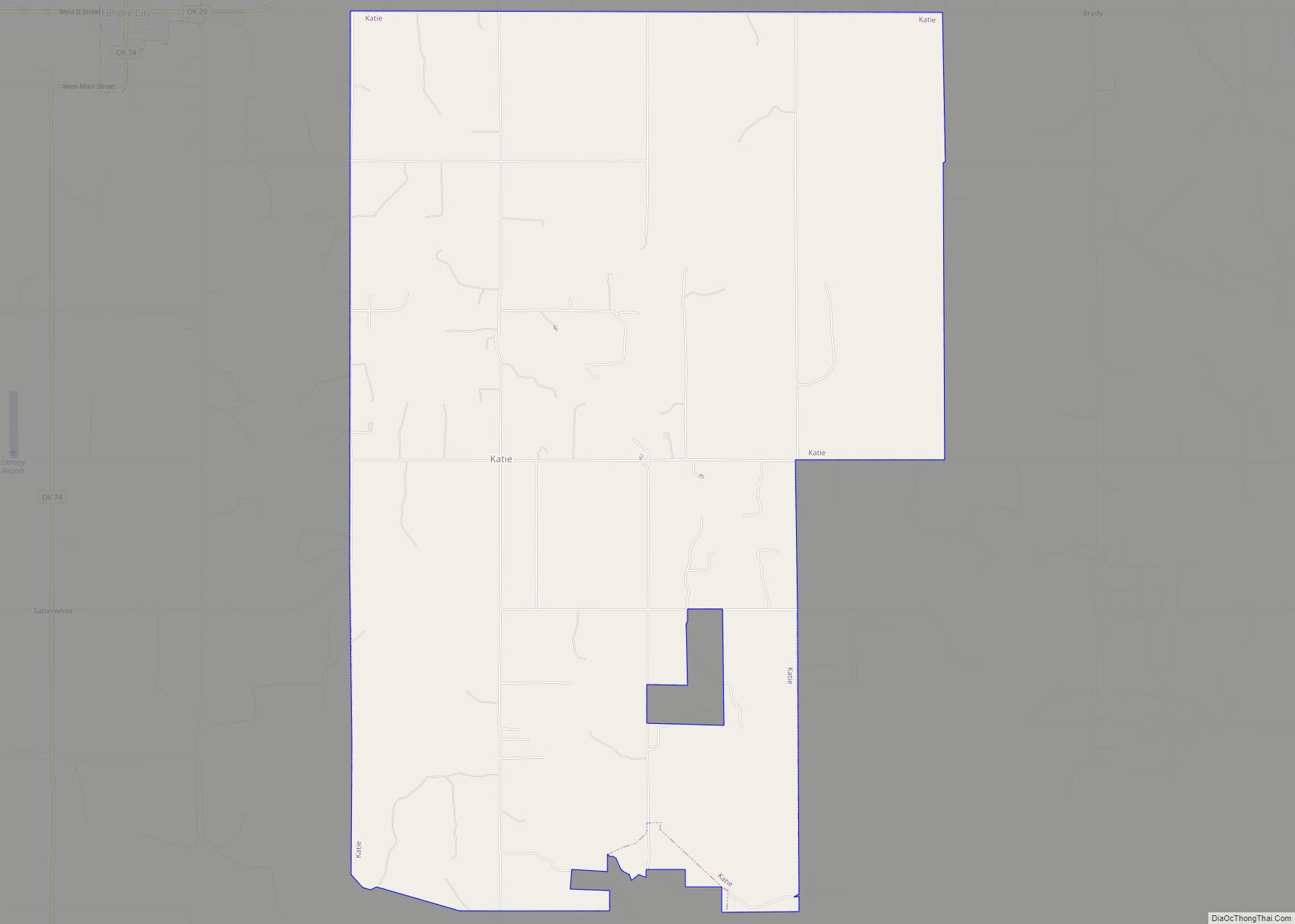
Katie is a town in Garvin County, Oklahoma, United States. The town is 69 miles (111 km) south of Oklahoma City. It was incorporated in 2004 and had a population of 348 at the 2010 census. On May 9, 2016, an EF4 tornado touched down in the southern part of Katie, and tracked to the east, ... Read more
Oklahoma Cities and Places
Kansas is a town in Delaware County, Oklahoma, United States. The population was 802 at the 2010 census. Kansas town overview: Name: Kansas town LSAD Code: 43 LSAD Description: town (suffix) State: Oklahoma County: Delaware County Elevation: 1,145 ft (349 m) Total Area: 2.04 sq mi (5.28 km²) Land Area: 2.04 sq mi (5.28 km²) Water Area: 0.00 sq mi (0.00 km²) Total Population: 711 Population ... Read more
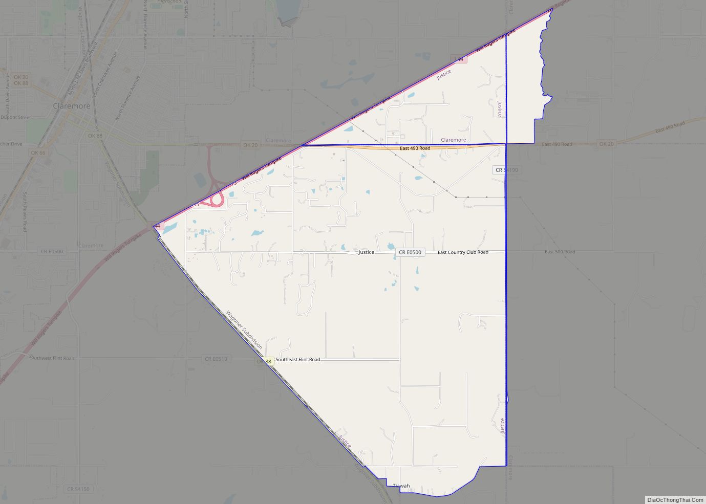
Justice is a census-designated place (CDP) in Rogers County, Oklahoma, United States. The population was 1,311 at the 2000 census. Justice CDP overview: Name: Justice CDP LSAD Code: 57 LSAD Description: CDP (suffix) State: Oklahoma County: Rogers County Total Area: 1,311 FIPS code: 4038475 Online Interactive Map Justice online map. Source: Basemap layers from Google ... Read more
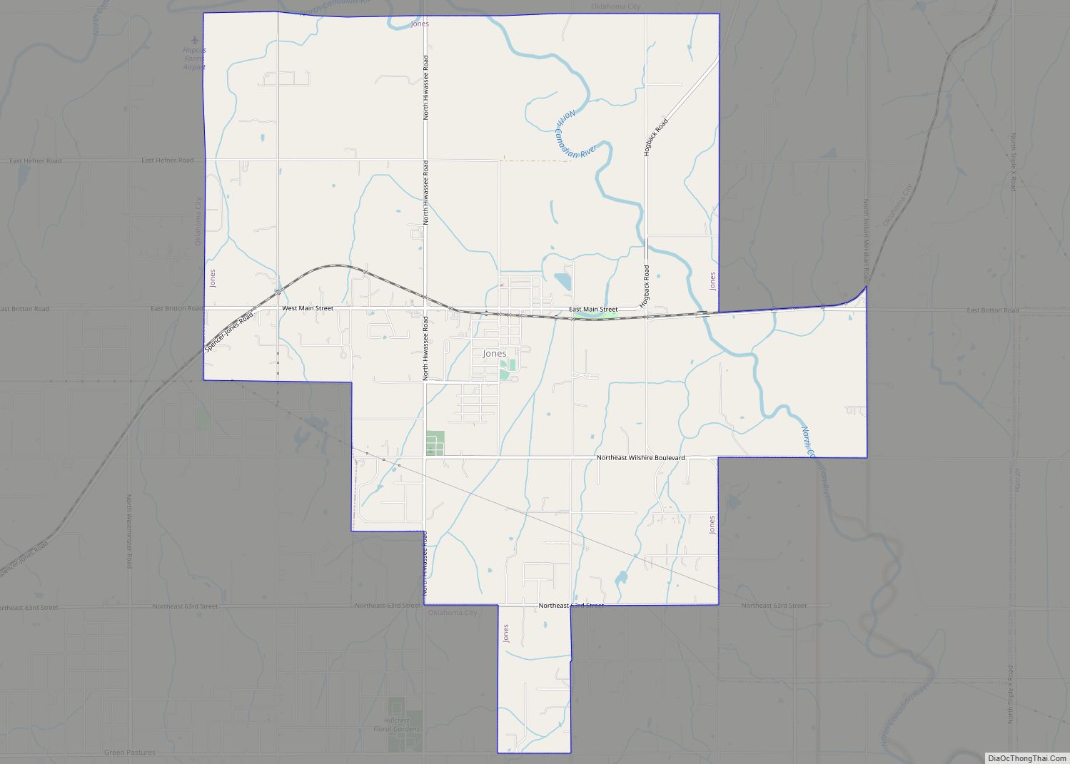
Jones is a town in Oklahoma County, Oklahoma. It is named after Charles G. Jones, a three-time mayor of Oklahoma City. The population was 2,692 at the time of the 2010 census. Jones town overview: Name: Jones town LSAD Code: 43 LSAD Description: town (suffix) State: Oklahoma County: Oklahoma County Elevation: 1,116 ft (340 m) Total Area: ... Read more
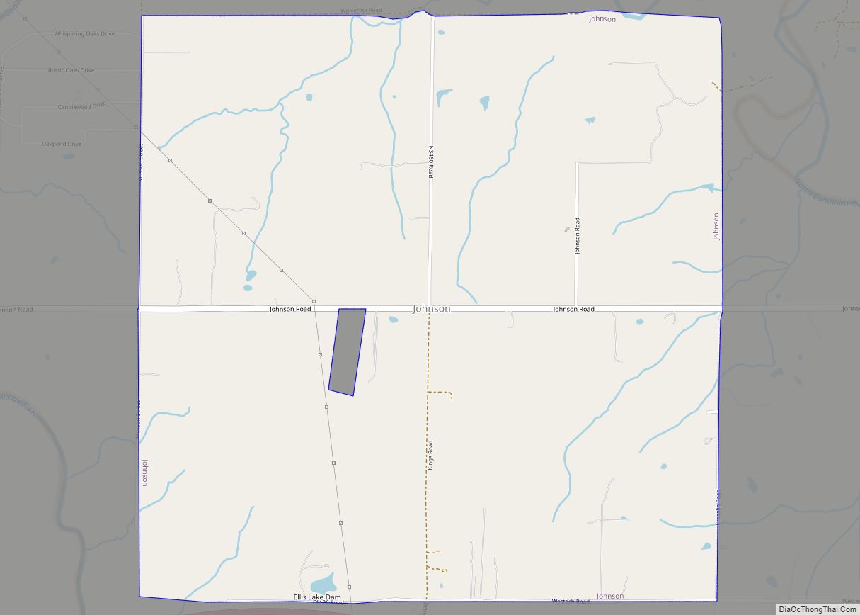
Johnson is a town in north-central Pottawatomie County, Oklahoma, United States. The population was 247 at the 2010 census, a 10.8 percent increase from the figure of 223 in 2000. Johnson town overview: Name: Johnson town LSAD Code: 43 LSAD Description: town (suffix) State: Oklahoma County: Pottawatomie County Elevation: 1,040 ft (317 m) Total Area: 4.48 sq mi (11.59 km²) ... Read more
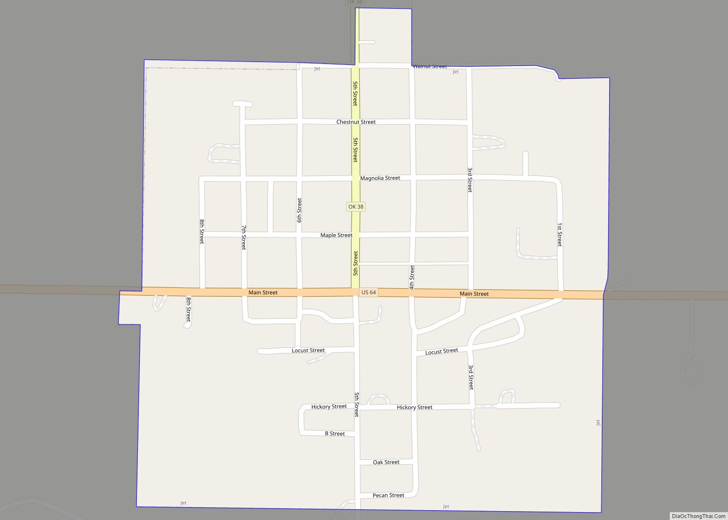
Jet is a town in Alfalfa County, Oklahoma, United States. The population was 213 at the 2010 census. Jet town overview: Name: Jet town LSAD Code: 43 LSAD Description: town (suffix) State: Oklahoma County: Alfalfa County Elevation: 1,243 ft (379 m) Total Area: 0.27 sq mi (0.70 km²) Land Area: 0.27 sq mi (0.70 km²) Water Area: 0.00 sq mi (0.00 km²) Total Population: 197 Population ... Read more
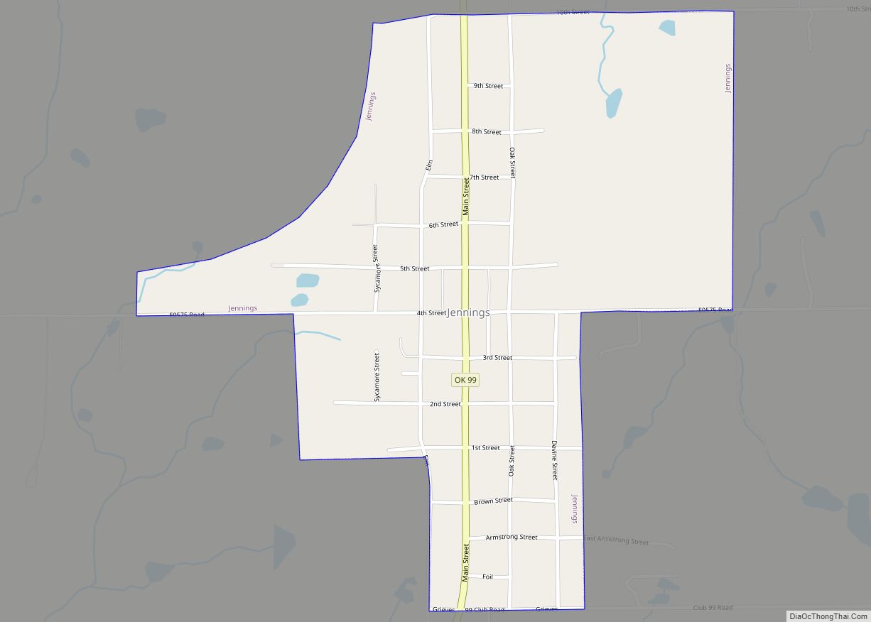
Jennings is a town in Pawnee County, Oklahoma, United States. The population was 363 at the 2010 census, a 2.7 percent decline from the figure of 373 recorded in 2000. Jennings town overview: Name: Jennings town LSAD Code: 43 LSAD Description: town (suffix) State: Oklahoma County: Pawnee County Elevation: 932 ft (284 m) Total Area: 0.55 sq mi (1.43 km²) ... Read more
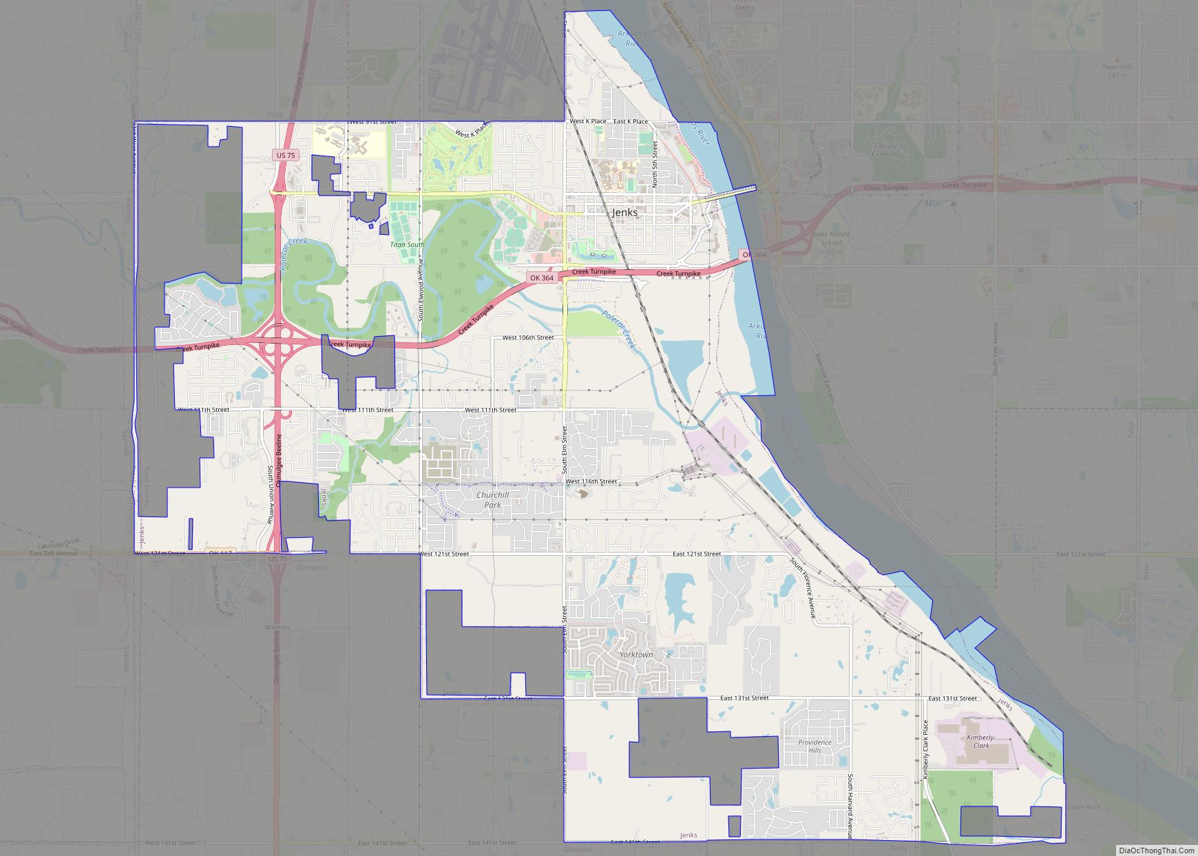
Jenks is a city in Tulsa County, Oklahoma, United States, and a suburb of Tulsa, in the northeastern part of the state. It is situated between the Arkansas River and U.S. Route 75. Jenks is one of the fastest-growing cities in Oklahoma. The city’s population was 16,924 in the 2010 census, but by 2020, this ... Read more
Jefferson is a town in Grant County, Oklahoma, United States. The population was 12 at the 2010 census, a 67.6 percent decline from the figure of 37 in 2000. Under its former name of Pond Creek, Jefferson was one of the participating towns in the Enid-Pond Creek Railroad War. Jefferson town overview: Name: Jefferson town ... Read more
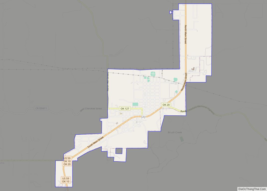
Jay is a city and county seat of Delaware County, Oklahoma, United States. The population was 2,448 at the 2010 census, compared to 2,482 at the 2000 census, a decrease of 1.4 percent. Almost 40% of its residents are Native American, thus Jay is home to numerous Cherokee tribal offices and a health clinic for ... Read more
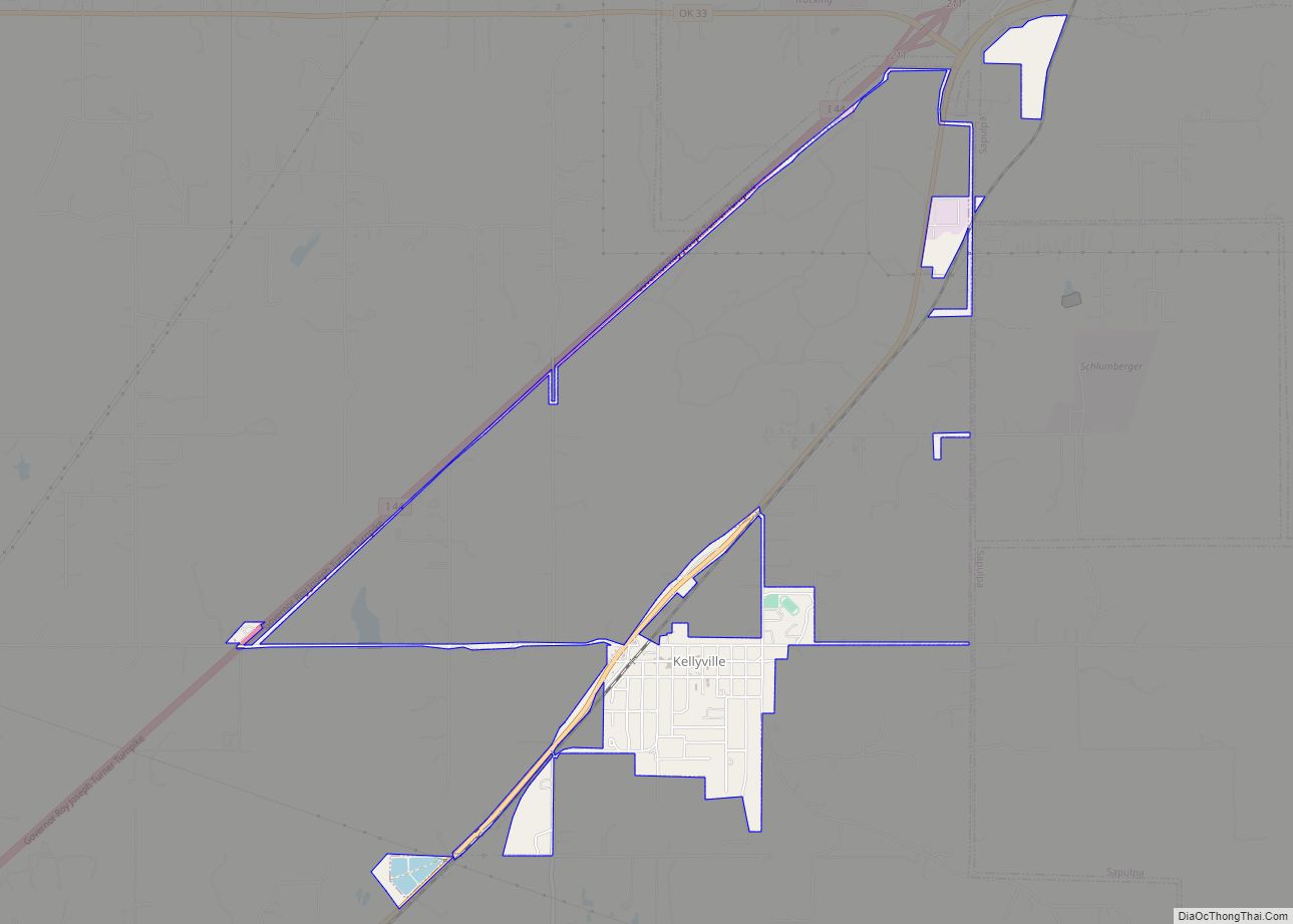
Kellyville is a town in Creek County, Oklahoma, United States. The population was 1,150 at the 2010 census, compared to 906 in 2000. Kellyville town overview: Name: Kellyville town LSAD Code: 43 LSAD Description: town (suffix) State: Oklahoma County: Creek County Elevation: 784 ft (239 m) Total Area: 1.93 sq mi (5.01 km²) Land Area: 1.93 sq mi (4.99 km²) Water Area: 0.00 sq mi ... Read more
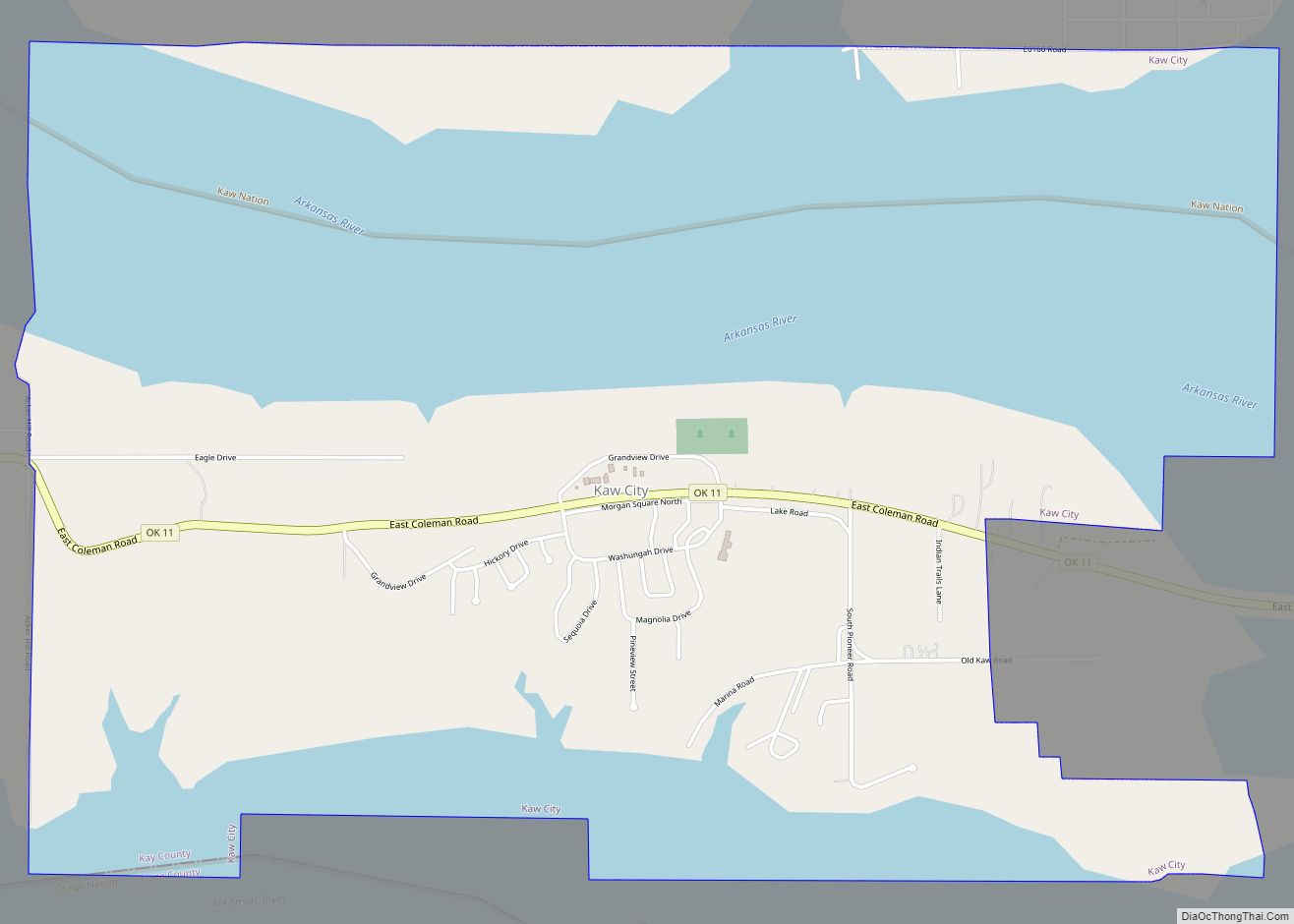
Kaw City is a city in eastern Kay County, Oklahoma, United States. The population was 375 at the 2010 census, an increase of 1 percent from the figure of 372 in 2000. Kaw City was named for the Kanza Indians, called the Kaw by locals. Kaw City city overview: Name: Kaw City city LSAD Code: ... Read more
