Keyes is a town in Cimarron County, Oklahoma, United States. The population was 324 at the 2010 census.
| Name: | Keyes town |
|---|---|
| LSAD Code: | 43 |
| LSAD Description: | town (suffix) |
| State: | Oklahoma |
| County: | Cimarron County |
| Elevation: | 3,944 ft (1,202 m) |
| Total Area: | 0.36 sq mi (0.93 km²) |
| Land Area: | 0.36 sq mi (0.93 km²) |
| Water Area: | 0.00 sq mi (0.00 km²) |
| Total Population: | 276 |
| Population Density: | 764.54/sq mi (295.43/km²) |
| ZIP code: | 73947 |
| Area code: | 580 |
| FIPS code: | 4039600 |
| GNISfeature ID: | 1094354 |
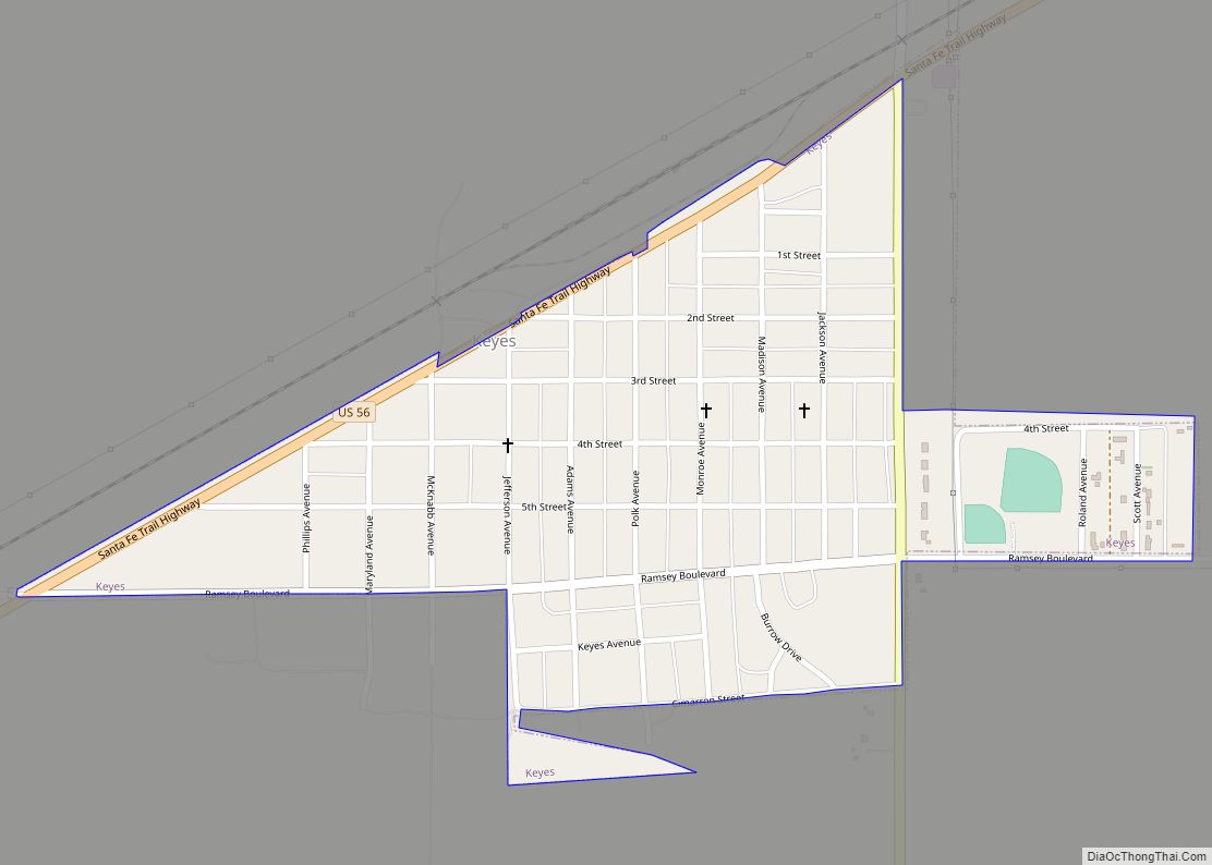
Online Interactive Map
Click on ![]() to view map in "full screen" mode.
to view map in "full screen" mode.
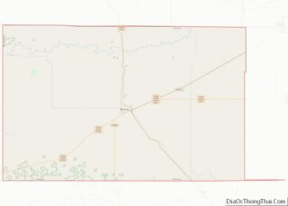
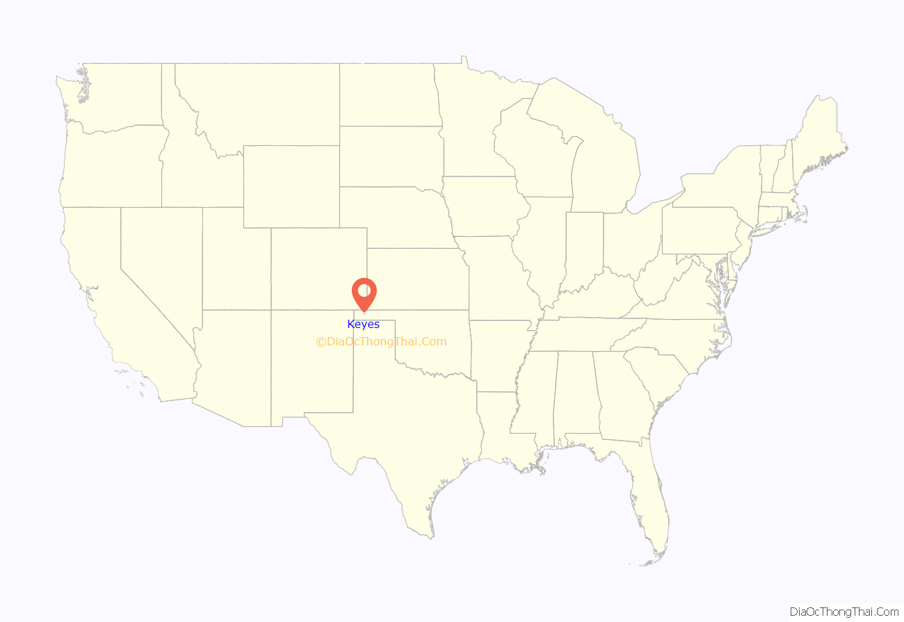
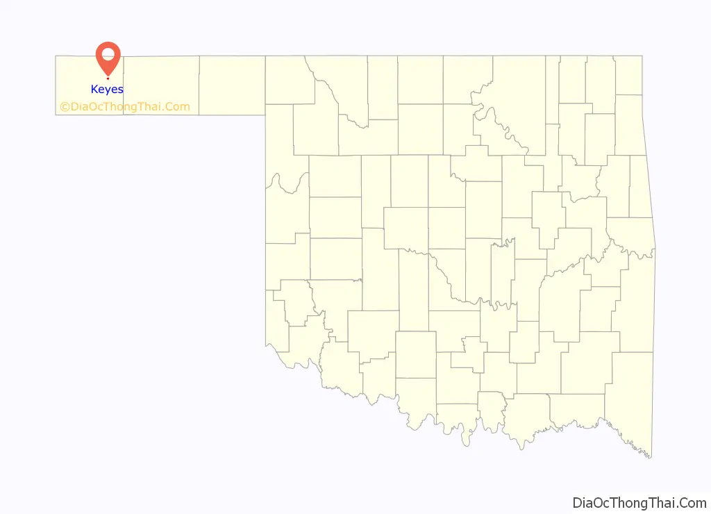
Keyes location map. Where is Keyes town?
History
Keyes was established in 1925 by the Elkhart and Santa Fe Railway (both leased to and a wholly owned subsidiary of the Atchison, Topeka and Santa Fe Railway). The company named the town after a deceased railroad engineer. The line is now part of the Cimarron Valley Railroad.
Keyes was also the final destination of the Beaver, Meade and Englewood Railroad, which reached town from the east on June 25, 1931. That line was abandoned in 1972.
Keyes Road Map
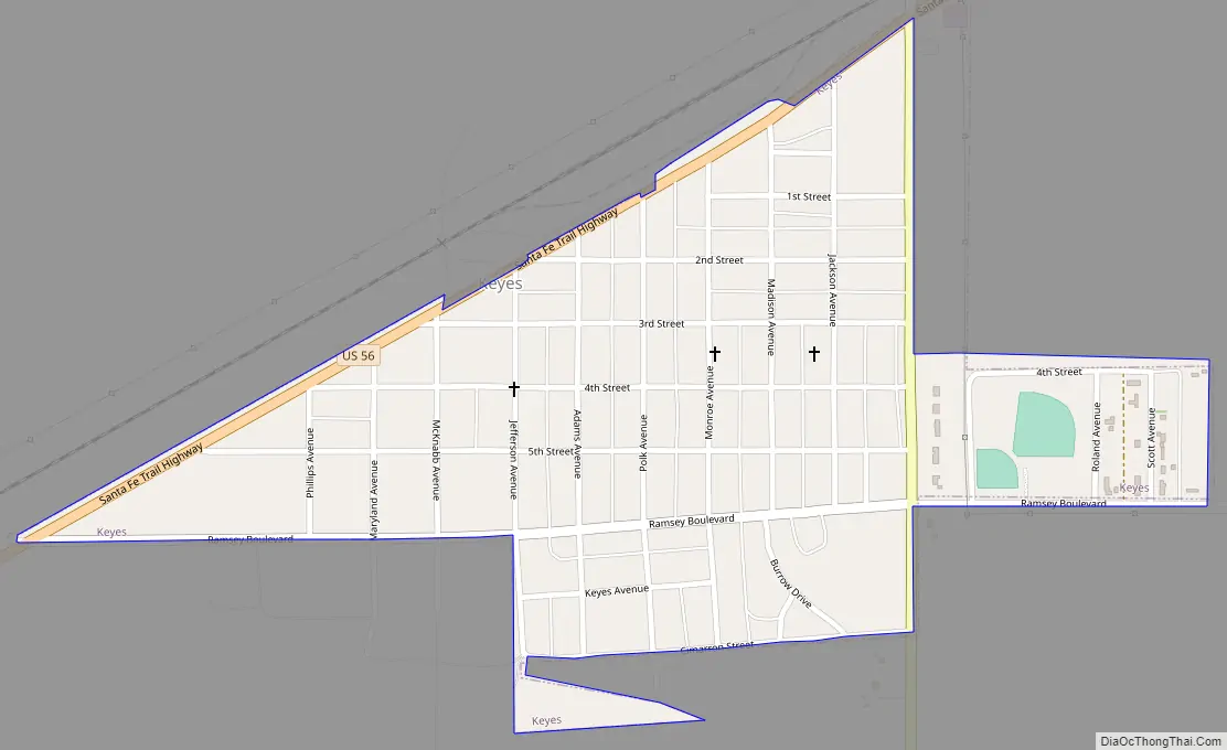
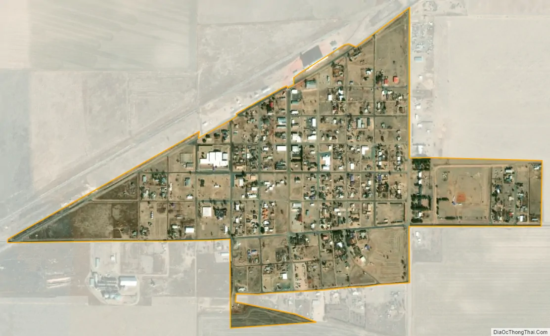
Keyes city Satellite Map
Geography
Keyes is located at 36°48′30″N 102°15′00″W / 36.808333°N 102.25°W / 36.808333; -102.25.
According to the United States Census Bureau, the town has a total area of 0.4 square miles (1.0 km), all land.
Keyes is at the intersection of U.S. Route 56 and the northern terminus of Oklahoma State Highway 171. Keyes is approximately 16 miles northeast of the Cimarron County seat, Boise City, and about 26 miles southwest of Elkhart, Kansas.
The closest major airport is Liberal Mid-America Regional Airport, about 91 miles.
See also
Map of Oklahoma State and its subdivision:- Adair
- Alfalfa
- Atoka
- Beaver
- Beckham
- Blaine
- Bryan
- Caddo
- Canadian
- Carter
- Cherokee
- Choctaw
- Cimarron
- Cleveland
- Coal
- Comanche
- Cotton
- Craig
- Creek
- Custer
- Delaware
- Dewey
- Ellis
- Garfield
- Garvin
- Grady
- Grant
- Greer
- Harmon
- Harper
- Haskell
- Hughes
- Jackson
- Jefferson
- Johnston
- Kay
- Kingfisher
- Kiowa
- Latimer
- Le Flore
- Lincoln
- Logan
- Love
- Major
- Marshall
- Mayes
- McClain
- McCurtain
- McIntosh
- Murray
- Muskogee
- Noble
- Nowata
- Okfuskee
- Oklahoma
- Okmulgee
- Osage
- Ottawa
- Pawnee
- Payne
- Pittsburg
- Pontotoc
- Pottawatomie
- Pushmataha
- Roger Mills
- Rogers
- Seminole
- Sequoyah
- Stephens
- Texas
- Tillman
- Tulsa
- Wagoner
- Washington
- Washita
- Woods
- Woodward
- Alabama
- Alaska
- Arizona
- Arkansas
- California
- Colorado
- Connecticut
- Delaware
- District of Columbia
- Florida
- Georgia
- Hawaii
- Idaho
- Illinois
- Indiana
- Iowa
- Kansas
- Kentucky
- Louisiana
- Maine
- Maryland
- Massachusetts
- Michigan
- Minnesota
- Mississippi
- Missouri
- Montana
- Nebraska
- Nevada
- New Hampshire
- New Jersey
- New Mexico
- New York
- North Carolina
- North Dakota
- Ohio
- Oklahoma
- Oregon
- Pennsylvania
- Rhode Island
- South Carolina
- South Dakota
- Tennessee
- Texas
- Utah
- Vermont
- Virginia
- Washington
- West Virginia
- Wisconsin
- Wyoming