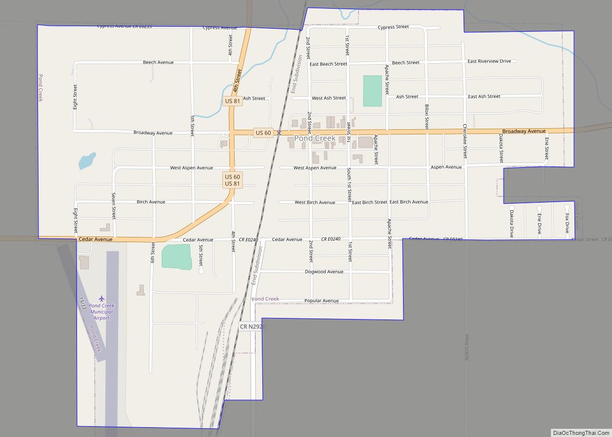
Jefferson is a town in Grant County, Oklahoma, United States. The population was 12 at the 2010 census, a 67.6 percent decline from the figure of 37 in 2000.
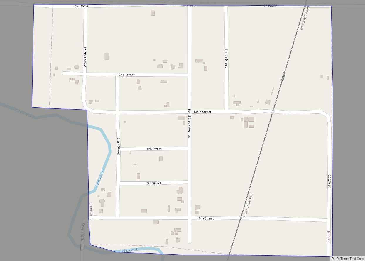
Under its former name of Pond Creek, Jefferson was one of the participating towns in the Enid-Pond Creek Railroad War.
| Name: | Jefferson town |
|---|---|
| LSAD Code: | 43 |
| LSAD Description: | town (suffix) |
| State: | Oklahoma |
| County: | Grant County |
| Elevation: | 1,047 ft (319 m) |
| Total Area: | 0.27 sq mi (0.71 km²) |
| Land Area: | 0.27 sq mi (0.71 km²) |
| Water Area: | 0.00 sq mi (0.00 km²) |
| Total Population: | 9 |
| Population Density: | 32.97/sq mi (12.71/km²) |
| FIPS code: | 4037750 |
| GNISfeature ID: | 1094188 |
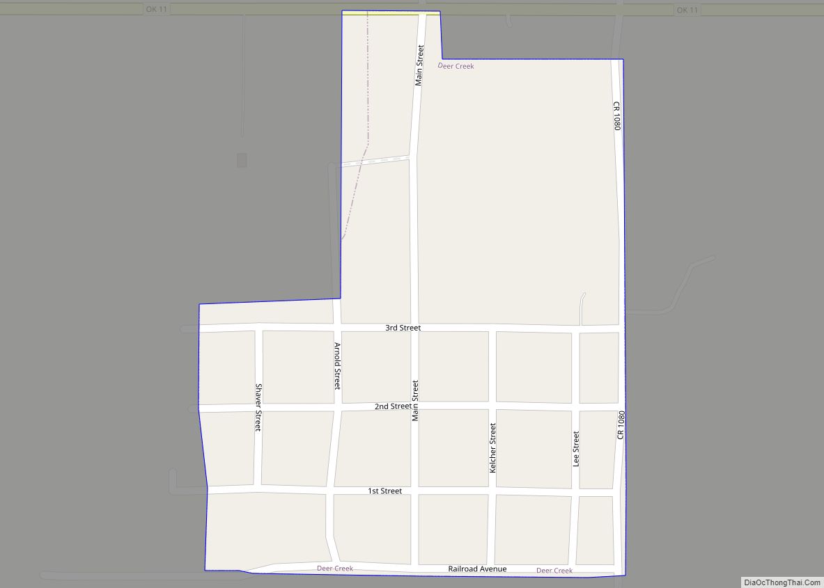
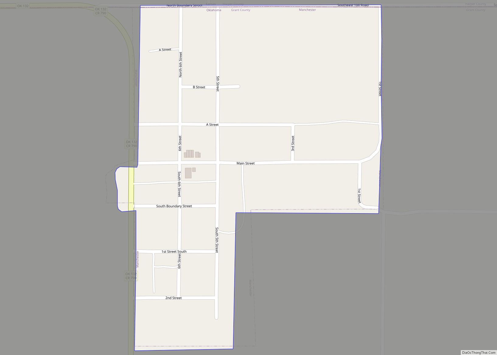
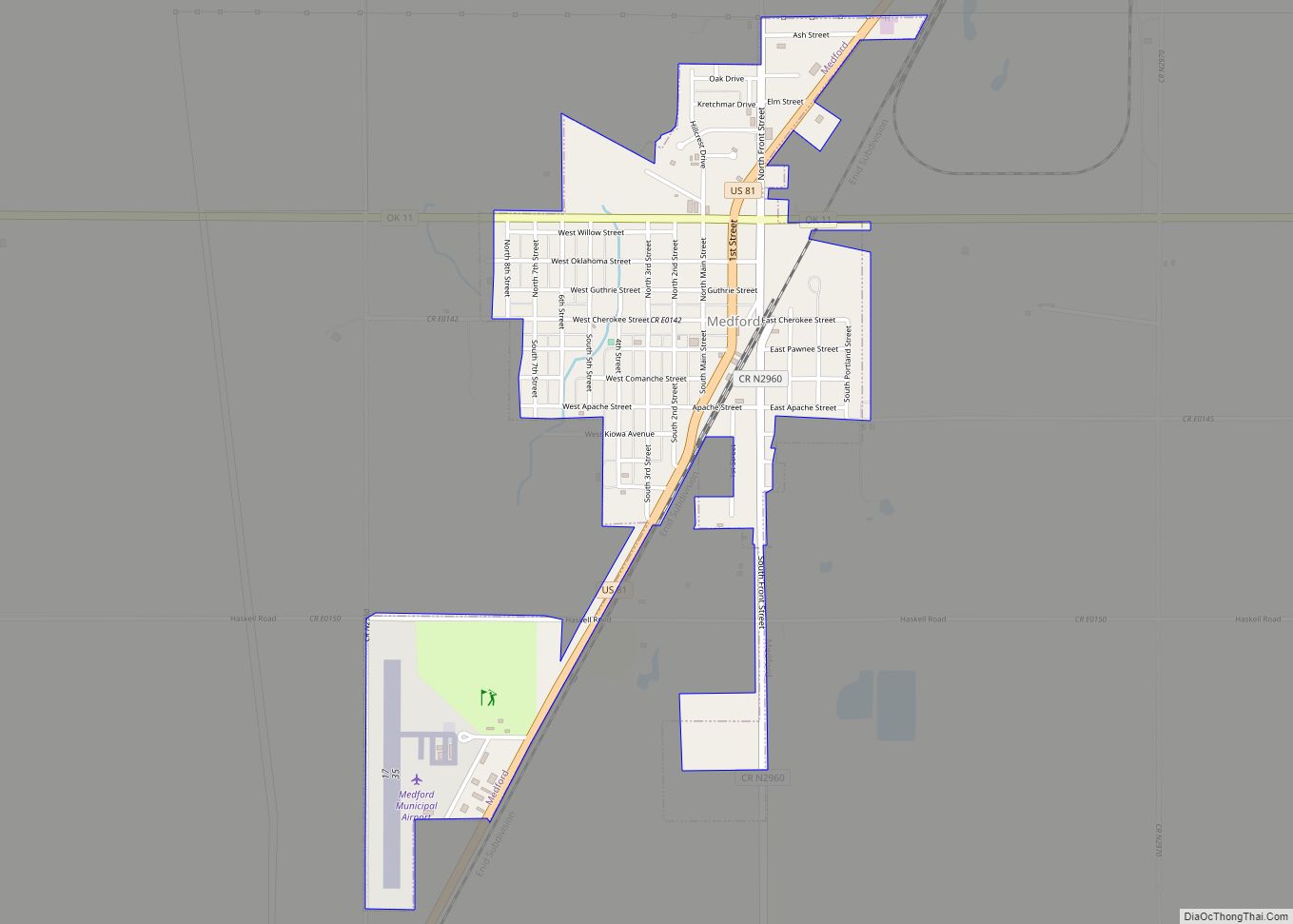
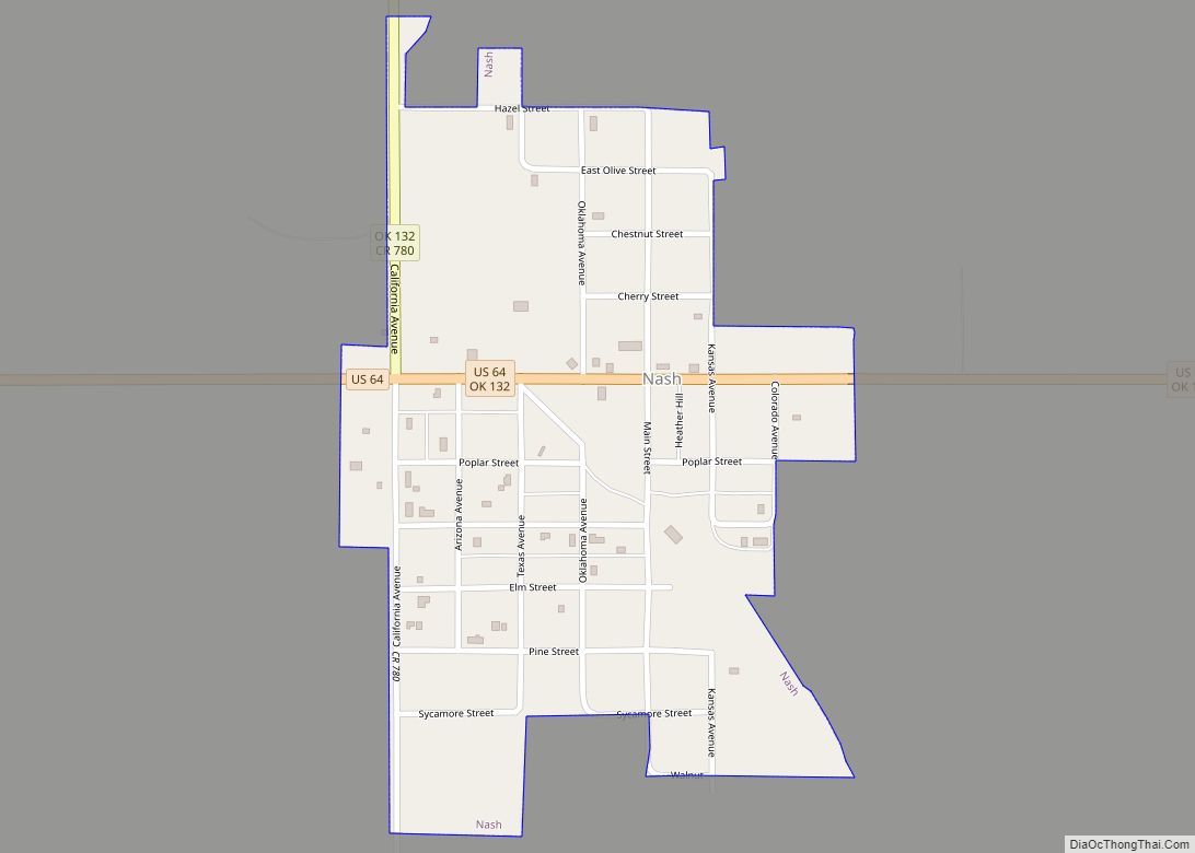
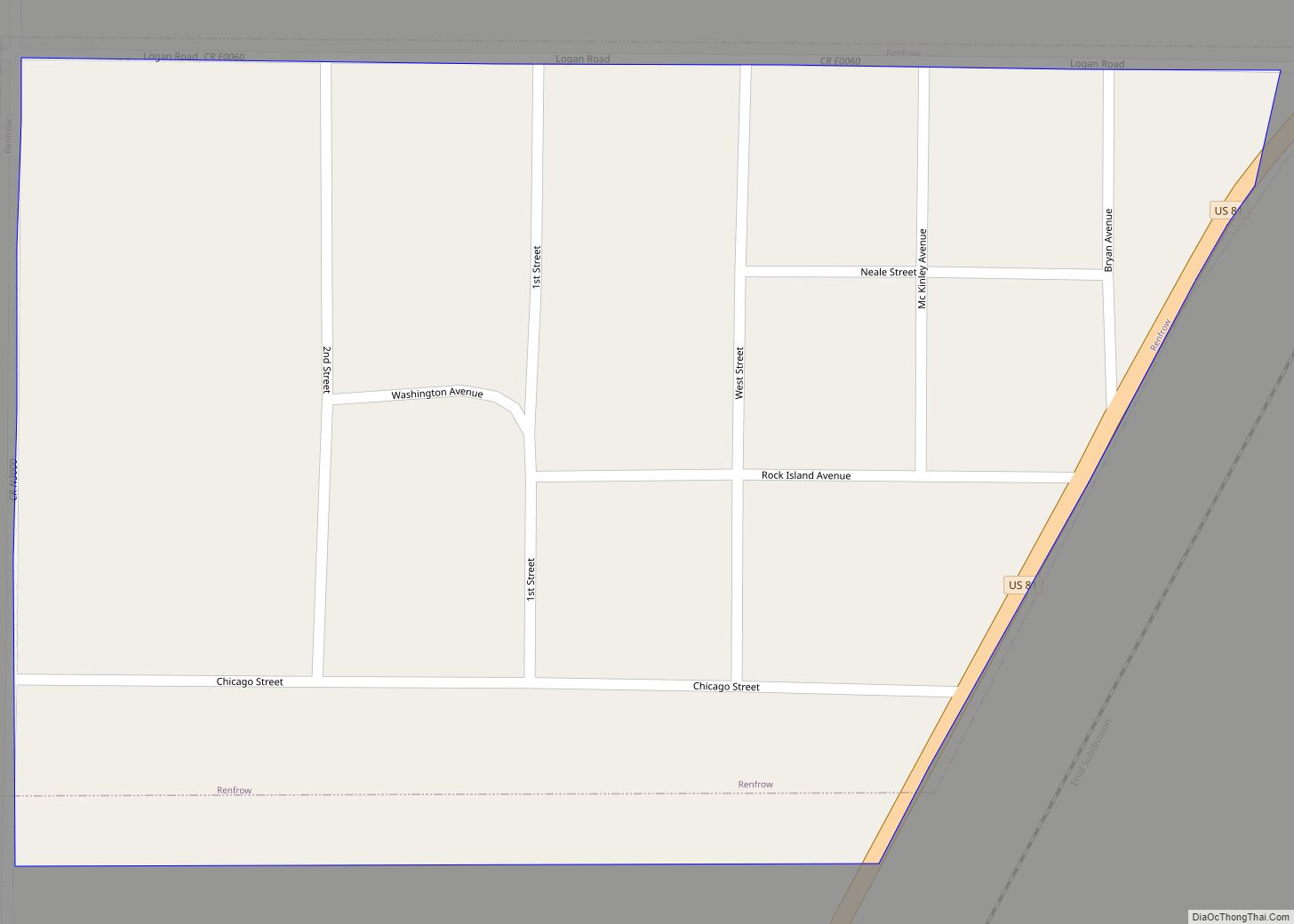
Online Interactive Map
Click on ![]() to view map in "full screen" mode.
to view map in "full screen" mode.
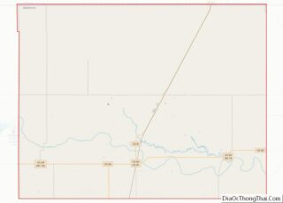
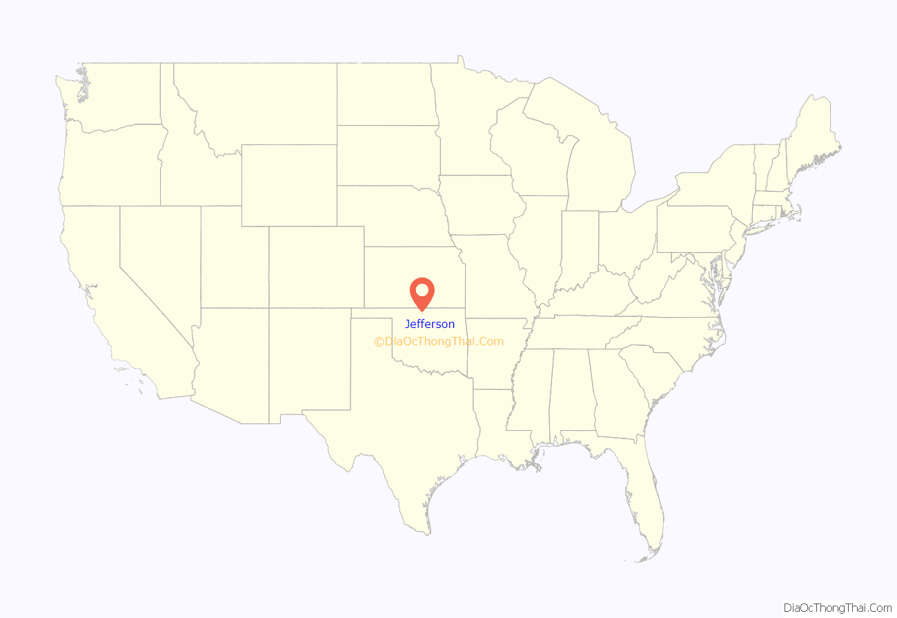
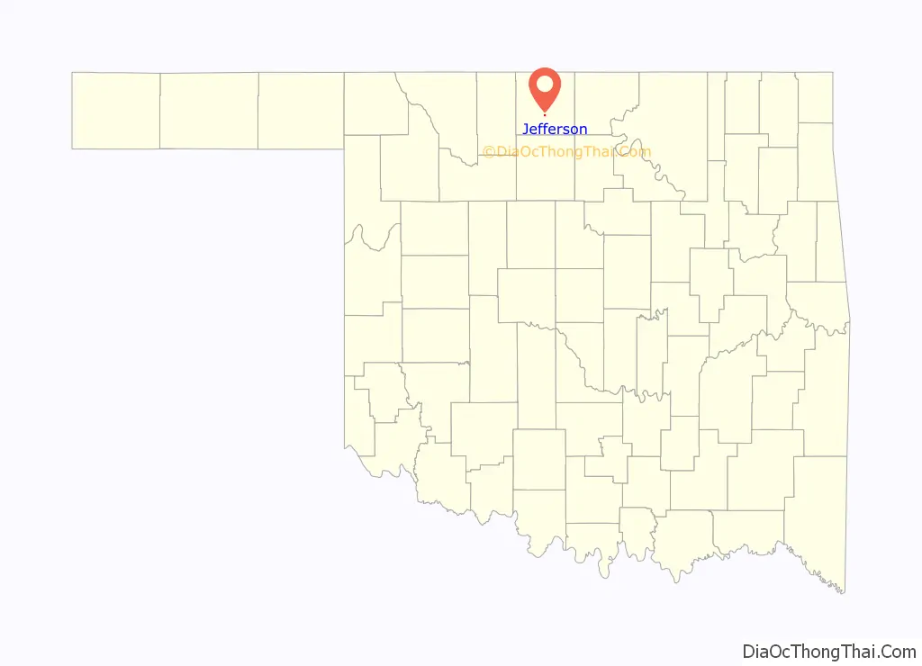
Jefferson location map. Where is Jefferson town?
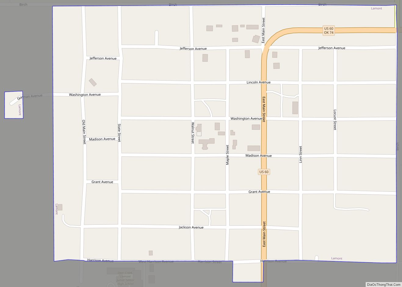
Jefferson Road Map

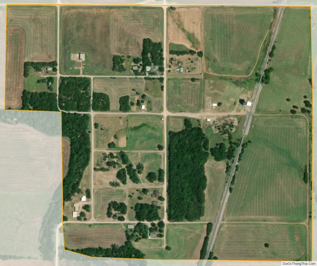
Jefferson city Satellite Map
Geography
Jefferson is located at 36°43′9″N 97°47′26″W / 36.71917°N 97.79056°W / 36.71917; -97.79056 (36.719127, -97.790498). According to the United States Census Bureau, the town has a total area of 0.3 square miles (0.78 km), all land.
Climate
See also
Map of Oklahoma State and its subdivision:- Adair
- Alfalfa
- Atoka
- Beaver
- Beckham
- Blaine
- Bryan
- Caddo
- Canadian
- Carter
- Cherokee
- Choctaw
- Cimarron
- Cleveland
- Coal
- Comanche
- Cotton
- Craig
- Creek
- Custer
- Delaware
- Dewey
- Ellis
- Garfield
- Garvin
- Grady
- Grant
- Greer
- Harmon
- Harper
- Haskell
- Hughes
- Jackson
- Jefferson
- Johnston
- Kay
- Kingfisher
- Kiowa
- Latimer
- Le Flore
- Lincoln
- Logan
- Love
- Major
- Marshall
- Mayes
- McClain
- McCurtain
- McIntosh
- Murray
- Muskogee
- Noble
- Nowata
- Okfuskee
- Oklahoma
- Okmulgee
- Osage
- Ottawa
- Pawnee
- Payne
- Pittsburg
- Pontotoc
- Pottawatomie
- Pushmataha
- Roger Mills
- Rogers
- Seminole
- Sequoyah
- Stephens
- Texas
- Tillman
- Tulsa
- Wagoner
- Washington
- Washita
- Woods
- Woodward
- Alabama
- Alaska
- Arizona
- Arkansas
- California
- Colorado
- Connecticut
- Delaware
- District of Columbia
- Florida
- Georgia
- Hawaii
- Idaho
- Illinois
- Indiana
- Iowa
- Kansas
- Kentucky
- Louisiana
- Maine
- Maryland
- Massachusetts
- Michigan
- Minnesota
- Mississippi
- Missouri
- Montana
- Nebraska
- Nevada
- New Hampshire
- New Jersey
- New Mexico
- New York
- North Carolina
- North Dakota
- Ohio
- Oklahoma
- Oregon
- Pennsylvania
- Rhode Island
- South Carolina
- South Dakota
- Tennessee
- Texas
- Utah
- Vermont
- Virginia
- Washington
- West Virginia
- Wisconsin
- Wyoming