Jenks is a city in Tulsa County, Oklahoma, United States, and a suburb of Tulsa, in the northeastern part of the state. It is situated between the Arkansas River and U.S. Route 75. Jenks is one of the fastest-growing cities in Oklahoma. The city’s population was 16,924 in the 2010 census, but by 2020, this had grown to 25,949. The Census estimated Jenks’ population as 26,661 in 2021.
| Name: | Jenks city |
|---|---|
| LSAD Code: | 25 |
| LSAD Description: | city (suffix) |
| State: | Oklahoma |
| County: | Tulsa County |
| Elevation: | 617 ft (188 m) |
| Total Area: | 17.95 sq mi (46.49 km²) |
| Land Area: | 17.11 sq mi (44.32 km²) |
| Water Area: | 0.84 sq mi (2.17 km²) |
| Total Population: | 25,949 |
| Population Density: | 1,516.51/sq mi (585.54/km²) |
| ZIP code: | 74037 |
| Area code: | 539/918 |
| FIPS code: | 4037800 |
| GNISfeature ID: | 1094209 |
| Website: | www.jenks.com |
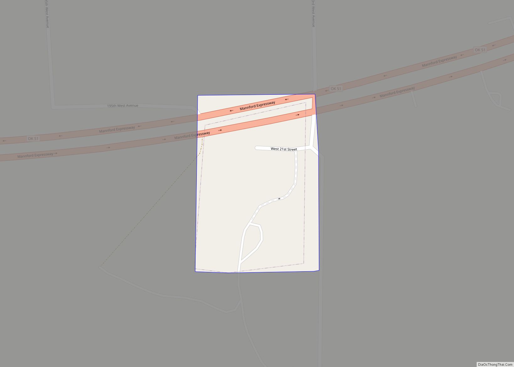
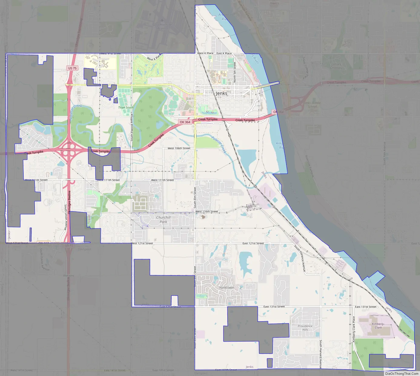
Online Interactive Map
Click on ![]() to view map in "full screen" mode.
to view map in "full screen" mode.
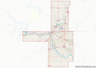
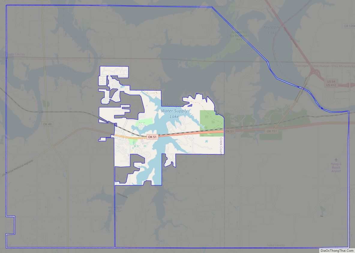
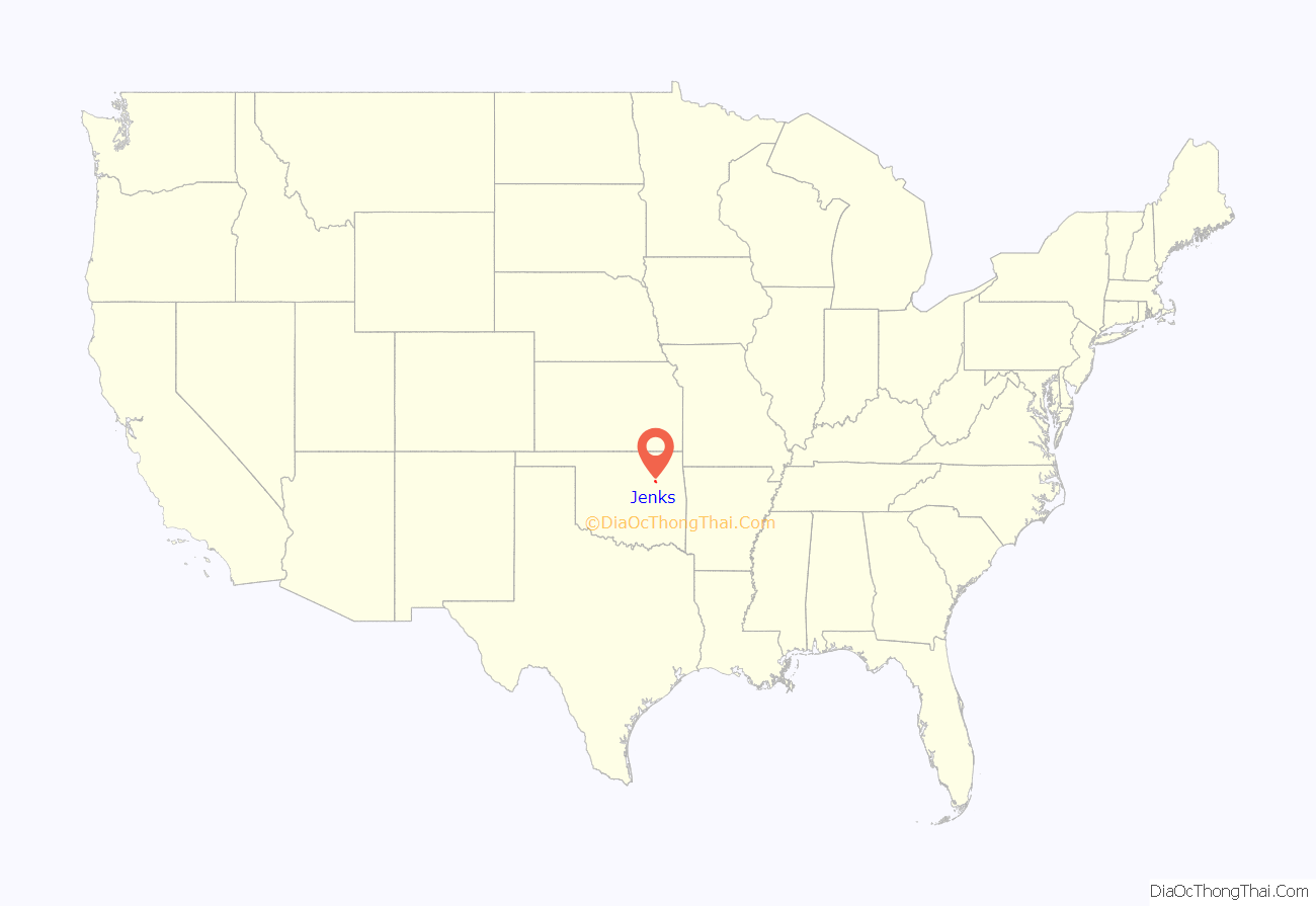
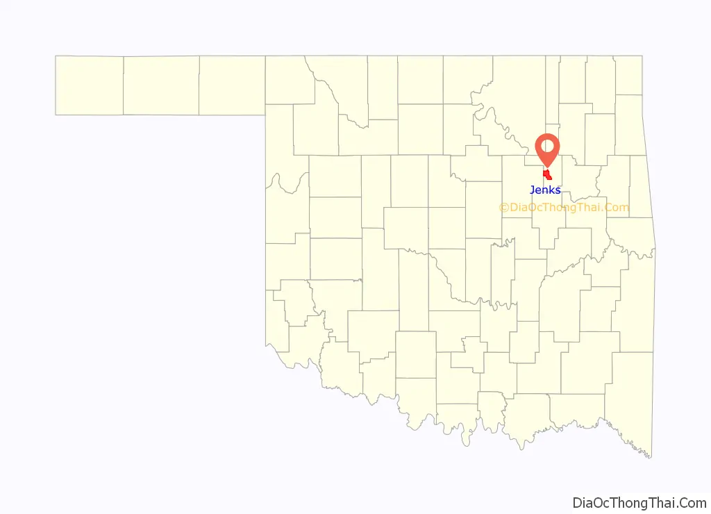
Jenks location map. Where is Jenks city?
History
Jenks began in 1904 as a community site established by the Midland Valley Railroad between Tulsa and Muskogee, alongside the Arkansas River. Though the river could only be utilized by shallow draft steamboats while the water level was up, these two transportation routes proved vital to Jenks’ early development.
Jenks was named after William Henry Jenks the owner and director of the Midland Valley Railroad. According to a 1957 article in the Tulsa Tribune, an agent for the townsite company was told by the railroad home office to name a town for the director.
The town was officially platted on July 15, 1905. Also in 1905, a major petroleum discovery was made, further bolstering the economy of the area. The “Glenn Pool” oil well and subsequent oil claims brought many business people to the general area. In 1906, many oil depots (also known as “tank farms”) were constructed in Jenks. By the time of statehood, Jenks had 465 inhabitants.
As oil production waned, tank farms were dismantled, and agriculture became once again a major contributor to the Jenks economy. The economy of the area was further improved in the 1920s when many Bulgarian families immigrated to the area to farm. These immigrants established many vegetable farms.
From 1904 through the 1950s, Jenks experienced many floods from the overflow of the Arkansas River and Polecat Creek. In the 1920s and 1930s, floods were severe. During one flood in the late 1920s, the water was so deep that it completely covered every building but the roof of the three-story-high school. Everyone was evacuated except two men and one woman. They had one shotgun, one small boat, food and a tent on top of the school. They guarded the remains of Jenks for several weeks until the water receded. In 1948, the U.S. Army Corps of Engineers built a levee around Jenks, and the community subsequently grew as a result of the increased safety and security. There was another threat of severe flooding in 1986, when severe rainstorms upstream along the Arkansas River forced the Corps of Engineers to release as much as 300,000 cubic feet per second from the Keystone Dam into the river. This caused a mandatory evacuation order in Jenks and several other river communities.
Jenks has served as a river crossing point via several bridges over the past century. In 1910, a single-lane bridge was built and strengthened the economic success of the area. The year 1948 saw the construction of a replacement two-lane bridge, which still stands today and now serves as a pedestrian crossing between the Riverwalk and the South Tulsa River Parks. The original 1910 bridge was destroyed and all that is left are a few columns and pieces of metal that are seen when the water level is low. A four-lane bridge was built in 1996.
The current High School building was built in 1960-61 and has undergone three major additions. The United States Census of 1970 placed the population of the city at 1,990 and there were approximately 1100 students in public school.
In the 1970s, the Tulsa water system was expanded into Jenks. That decade also saw the construction of a nearby Public Service of Oklahoma gas-fired electric power plant. These developments improved the infrastructure of the area and helped the economy.
In the 1980s, Kimberly-Clark built a manufacturing facility that provides many jobs for the area to this day.
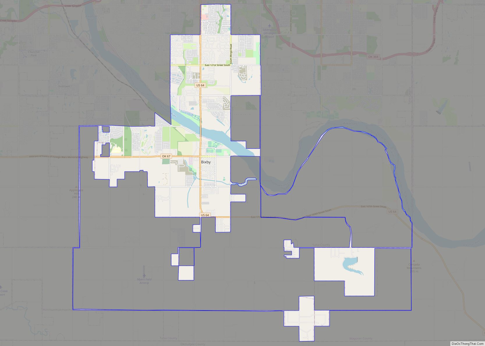
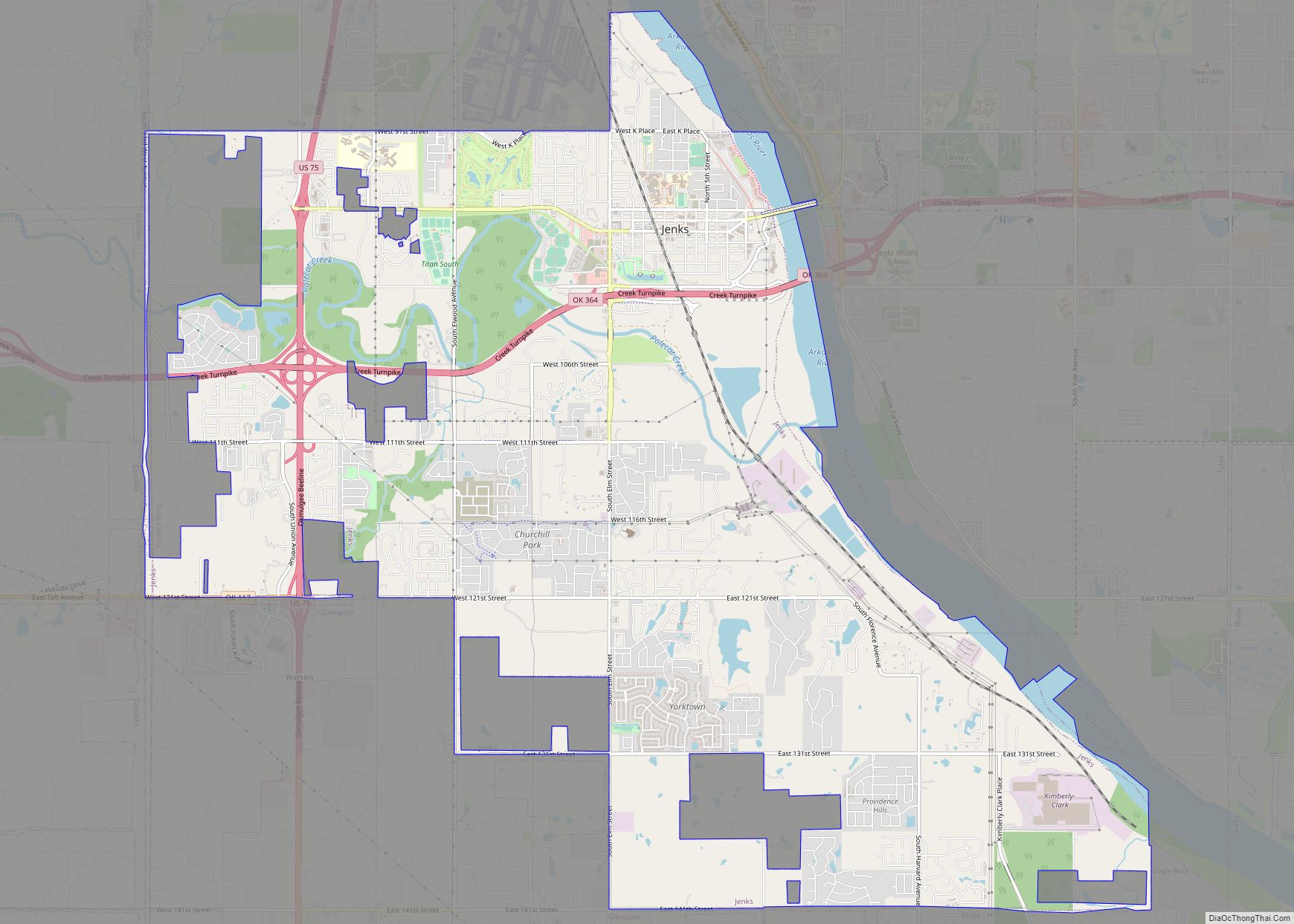
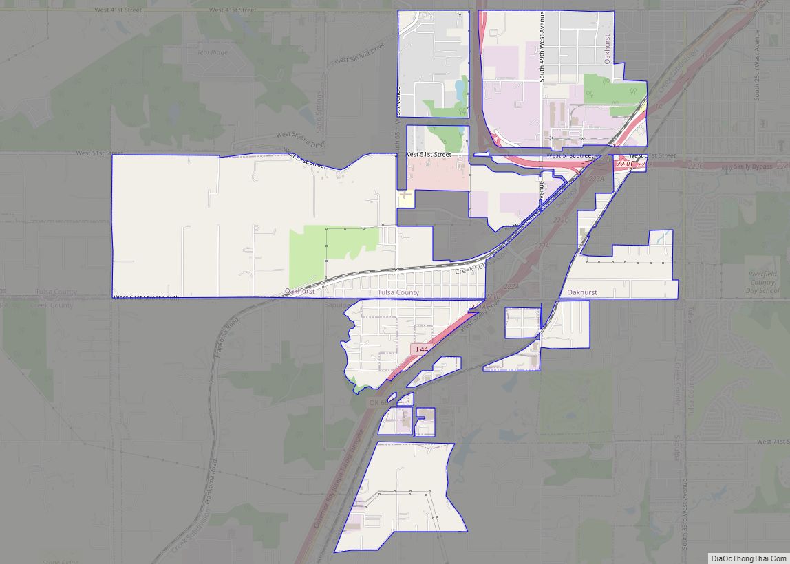
Jenks Road Map
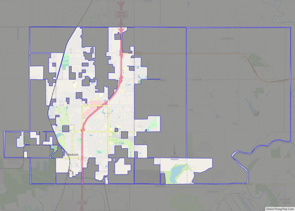
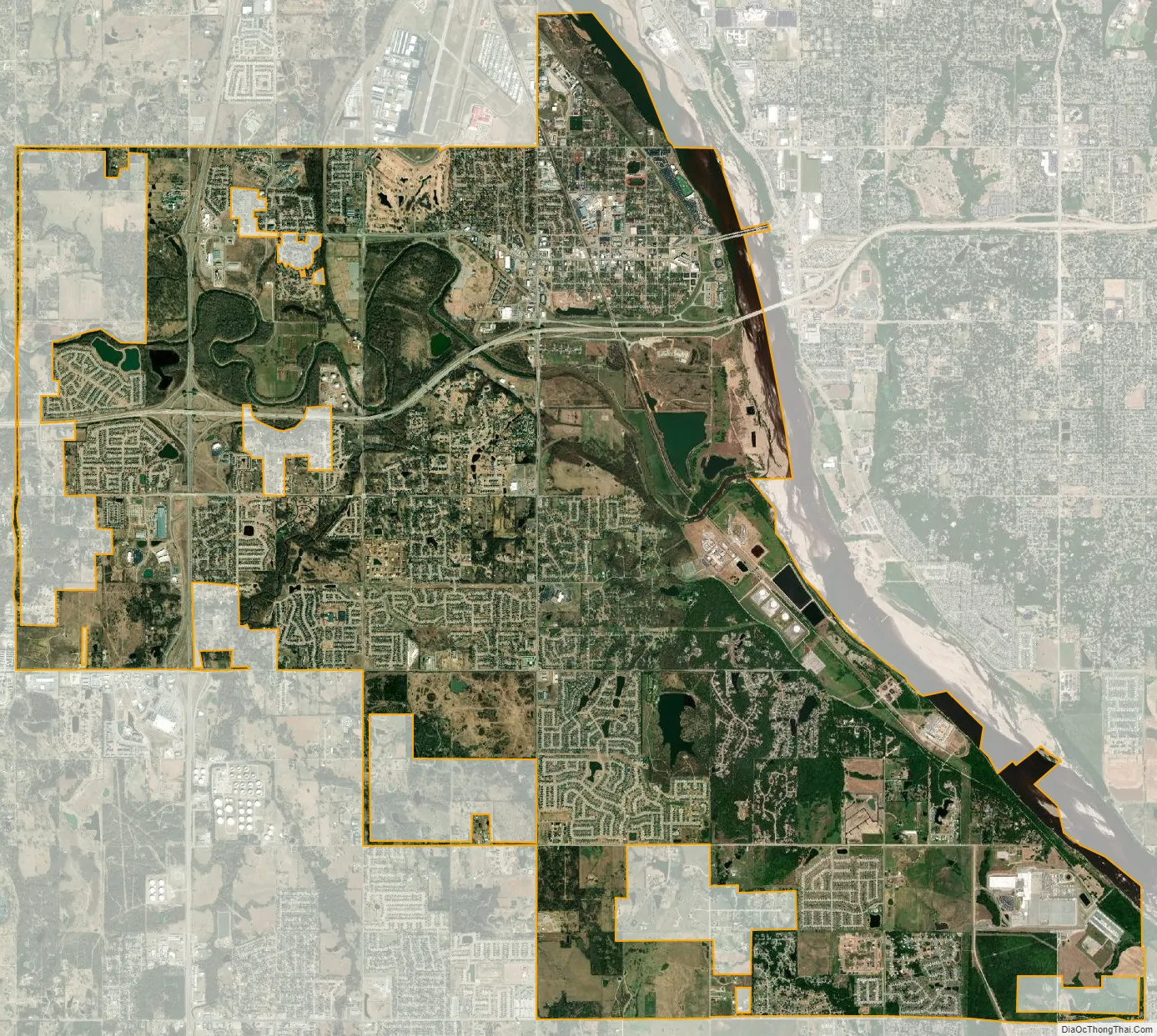
Jenks city Satellite Map
Geography
Jenks is located at 36°0′37″N 95°58′47″W / 36.01028°N 95.97972°W / 36.01028; -95.97972 (36.010276, -95.979850).
According to the United States Census Bureau, the city has a total area of 17.73 square miles (45.9 km), of which 17.13 square miles (44.4 km) is land and 0.6 square miles (1.6 km) (3.69%) is water.
See also
Map of Oklahoma State and its subdivision:- Adair
- Alfalfa
- Atoka
- Beaver
- Beckham
- Blaine
- Bryan
- Caddo
- Canadian
- Carter
- Cherokee
- Choctaw
- Cimarron
- Cleveland
- Coal
- Comanche
- Cotton
- Craig
- Creek
- Custer
- Delaware
- Dewey
- Ellis
- Garfield
- Garvin
- Grady
- Grant
- Greer
- Harmon
- Harper
- Haskell
- Hughes
- Jackson
- Jefferson
- Johnston
- Kay
- Kingfisher
- Kiowa
- Latimer
- Le Flore
- Lincoln
- Logan
- Love
- Major
- Marshall
- Mayes
- McClain
- McCurtain
- McIntosh
- Murray
- Muskogee
- Noble
- Nowata
- Okfuskee
- Oklahoma
- Okmulgee
- Osage
- Ottawa
- Pawnee
- Payne
- Pittsburg
- Pontotoc
- Pottawatomie
- Pushmataha
- Roger Mills
- Rogers
- Seminole
- Sequoyah
- Stephens
- Texas
- Tillman
- Tulsa
- Wagoner
- Washington
- Washita
- Woods
- Woodward
- Alabama
- Alaska
- Arizona
- Arkansas
- California
- Colorado
- Connecticut
- Delaware
- District of Columbia
- Florida
- Georgia
- Hawaii
- Idaho
- Illinois
- Indiana
- Iowa
- Kansas
- Kentucky
- Louisiana
- Maine
- Maryland
- Massachusetts
- Michigan
- Minnesota
- Mississippi
- Missouri
- Montana
- Nebraska
- Nevada
- New Hampshire
- New Jersey
- New Mexico
- New York
- North Carolina
- North Dakota
- Ohio
- Oklahoma
- Oregon
- Pennsylvania
- Rhode Island
- South Carolina
- South Dakota
- Tennessee
- Texas
- Utah
- Vermont
- Virginia
- Washington
- West Virginia
- Wisconsin
- Wyoming