Map of Keota town, Oklahoma

Map of Keota town, Oklahoma

Keota is a town in northeastern Haskell County, Oklahoma, United States. The population was 438 at the 2020 census, a 22.3 percent decrease over the figure of 564 recorded in 2010. Keota town overview: Name: Keota town LSAD Code: 43 LSAD Description: town (suffix) State: Oklahoma County: Haskell County Elevation: 502 ft (153 m) Total Area: 0.38 sq mi … Read more

Map of Kenwood CDP, Oklahoma

Map of Kenwood CDP, Oklahoma

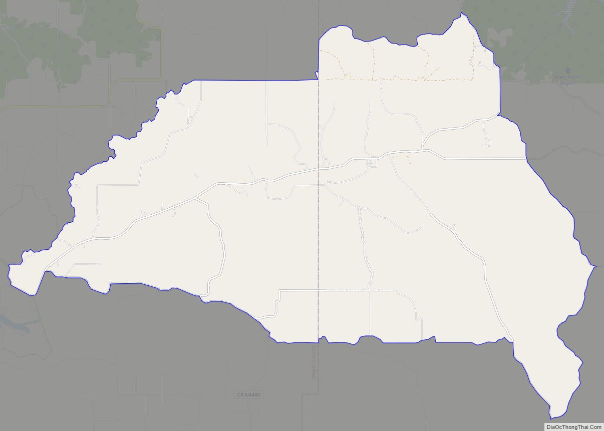
Kenwood is an unincorporated community and census-designated place (CDP) in Delaware and Mayes counties, Oklahoma, United States. As of the 2010 census it had a population of 1,224. Kenwood is 20 miles (32 km) by road southwest of Jay, the Delaware County seat. It is 11 miles (18 km) east of Salina. Kenwood once had a post … Read more

Map of Kenton CDP, Oklahoma

Map of Kenton CDP, Oklahoma

Kenton, located in Cimarron County, Oklahoma, United States, is the westernmost town in Oklahoma. From Kenton, it is approximately 155 miles (249 km) south to Amarillo, Texas, 237 miles (381 km) northwest to Colorado Springs, Colorado, 306 miles (492 km) north-northwest to Denver, Colorado, 314 miles (505 km) southwest to Albuquerque, New Mexico, 340 miles (550 km) northeast to Wichita, … Read more

Map of Kenefic town

Map of Kenefic town

Kenefic is a town in Bryan County, Oklahoma, United States. The population was 196 at the 2010 census, a 2 percent increase from the total of 192 recorded in 2000. The town was named for William Kenefick, president of the Missouri, Oklahoma and Gulf Railroad (MO&G), which had constructed a rail line through the region. … Read more

Map of Kendrick town, Oklahoma

Map of Kendrick town, Oklahoma

Kendrick is a town in Lincoln County, Oklahoma, United States. The population was 139 at the 2010 census. Kendrick town overview: Name: Kendrick town LSAD Code: 43 LSAD Description: town (suffix) State: Oklahoma County: Lincoln County Elevation: 856 ft (261 m) Total Area: 0.15 sq mi (0.38 km²) Land Area: 0.15 sq mi (0.38 km²) Water Area: 0.00 sq mi (0.00 km²) Total Population: 87 Population … Read more

Map of Kemp town

Map of Kemp town, Oklahoma

Kemp is a town in Bryan County, Oklahoma, United States. The population was 133 at the 2010 census, a decrease of 7.8 percent from the total of 144 recorded in 2000. Kemp town overview: Name: Kemp town LSAD Code: 43 LSAD Description: town (suffix) State: Oklahoma County: Bryan County Elevation: 633 ft (193 m) Total Area: 0.18 sq mi … Read more

Map of Kellyville town

Map of Kellyville town

Kellyville is a town in Creek County, Oklahoma, United States. The population was 1,150 at the 2010 census, compared to 906 in 2000. Kellyville town overview: Name: Kellyville town LSAD Code: 43 LSAD Description: town (suffix) State: Oklahoma County: Creek County Elevation: 784 ft (239 m) Total Area: 1.93 sq mi (5.01 km²) Land Area: 1.93 sq mi (4.99 km²) Water Area: 0.00 sq mi … Read more

Map of Kaw City city

Map of Kaw City

Kaw City is a city in eastern Kay County, Oklahoma, United States. The population was 375 at the 2010 census, an increase of 1 percent from the figure of 372 in 2000. Kaw City was named for the Kanza Indians, called the Kaw by locals. Kaw City overview: Name: Kaw City LSAD Code: 25 LSAD … Read more

Map of Kinta town

Map of Kinta town

Kinta is a town in Haskell County, Oklahoma, United States. The population was 297 at the 2010 census, an increase of 22.2 percent over the figure of 243 recorded in 2000. Kinta town overview: Name: Kinta town LSAD Code: 43 LSAD Description: town (suffix) State: Oklahoma County: Haskell County Elevation: 548 ft (167 m) Total Area: 0.64 sq mi … Read more

Map of Kingston town, Oklahoma

Map of Kingston town, Oklahoma

Kingston is a town in Marshall County, Oklahoma, United States, in the central southern portion of the state close to the border. The population was 1,601 at the 2010 census. Kingston town overview: Name: Kingston town LSAD Code: 43 LSAD Description: town (suffix) State: Oklahoma County: Marshall County Elevation: 810 ft (247 m) Total Area: 2.19 sq mi (5.68 km²) … Read more

Map of Kingfisher city

Map of Kingfisher city

Kingfisher is a city in and the county seat of Kingfisher County, Oklahoma,. The population was 4,903 at the time of the 2020 census. It is the former home and namesake of Kingfisher College. According to the Encyclopedia of Oklahoma History and Culture, Kingfisher is now primarily a bedroom community for people employed in Enid … Read more

Map of Kildare town

Map of Kildare town

Kildare is a town in Kay County, Oklahoma, United States. The population was 100 at the 2010 census, an 8.7 percent increase from the figure of 92 in 2000. Kildare town overview: Name: Kildare town LSAD Code: 43 LSAD Description: town (suffix) State: Oklahoma County: Kay County Elevation: 1,125 ft (343 m) Total Area: 0.14 sq mi (0.35 km²) Land … Read more