Krebs is a city in Pittsburg County, Oklahoma, United States. The population was 2,053 at the 2010 census, a slight increase from 2,051 in 2000. Its nickname is “Little Italy.” Krebs was founded before Oklahoma statehood as a coal-mining town in the Choctaw Nation of Indian Territory.
| Name: | Krebs city |
|---|---|
| LSAD Code: | 25 |
| LSAD Description: | city (suffix) |
| State: | Oklahoma |
| County: | Pittsburg County |
| Elevation: | 656 ft (200 m) |
| Total Area: | 4.85 sq mi (12.57 km²) |
| Land Area: | 4.84 sq mi (12.55 km²) |
| Water Area: | 0.01 sq mi (0.02 km²) |
| Total Population: | 2,083 |
| Population Density: | 429.93/sq mi (166.00/km²) |
| ZIP code: | 74554 |
| Area code: | 539/918 |
| FIPS code: | 4040300 |
| GNISfeature ID: | 1094434 |
| Website: | http://cityofkrebs.com/home |
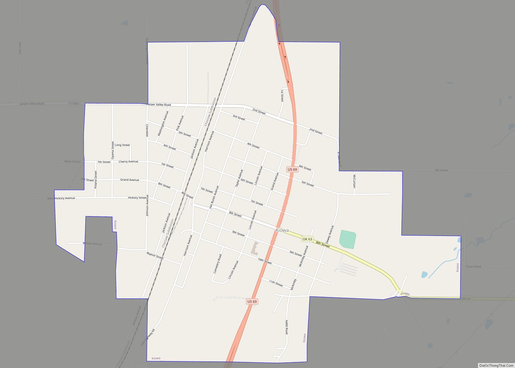
Online Interactive Map
Click on ![]() to view map in "full screen" mode.
to view map in "full screen" mode.
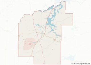
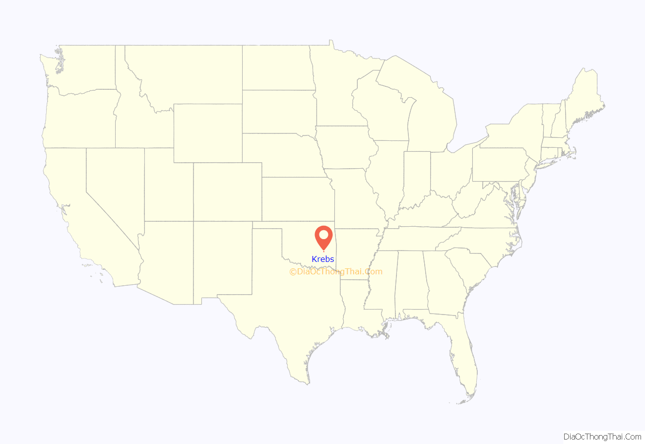
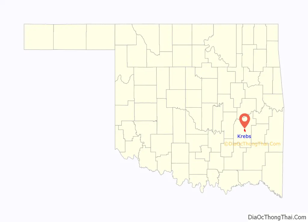
Krebs location map. Where is Krebs city?
History
A post office was established at Krebs, Indian Territory on February 10, 1886. At the time of its founding, Krebs was located in Tobucksy County, a part of the Moshulatubbee District of the Choctaw Nation. Krebs began as a coal-mining camp housing European immigrants who came to work coal mines in the surrounding area. The town is named after Judge Edmond Folsom Krebs (1821-1893), a county judge in Tobucksy County. Judge Krebs was born of mixed German and Choctaw ancestry in Winston County, Mississippi.
1892 mining explosion
An explosion in the Osage Coal & Mining Company’s No. 11 mine on January 7, 1892 killed about 100 workers and injured another 150, but mining continued to prosper. By 1895, there were 15 mines operating nearby. The first local of the United Mine Workers in Indian Territory was founded in the town in 1898. Krebs was linked to McAlester by the Choctaw Railway and Lighting Company interurban railroad.
Early Krebs
Krebs was incorporated in the Choctaw Nation in 1903, with Mel D. Reed elected as the first mayor and Bob Miller as the first chief of police. The current St. Joseph’s Catholic Church was constructed in 1903. It and an opera house were the first two brick buildings in town. An earlier church and the first opera house, both built of wood, had previously burned down.
The Krebs school system was organized in 1907, the same year that the Choctaw Nation and Indian Territory governments were replaced by the new State of Oklahoma.
The Missouri–Kansas–Texas Railroad (also known as the MKT or “Katy”) built a branch from McAlester to Wilburton, on which it ran a two-coach train known affectionately as “Nellie.” The Katy station was in downtown Krebs. Later, another station was built south of town on the East-West line to serve the Chicago, Rock Island & Pacific Railroad (a.k.a. CRI&P or Rock Island.) For a time, there was also an electric interurban line from McAlester through Krebs to Hartshorne.
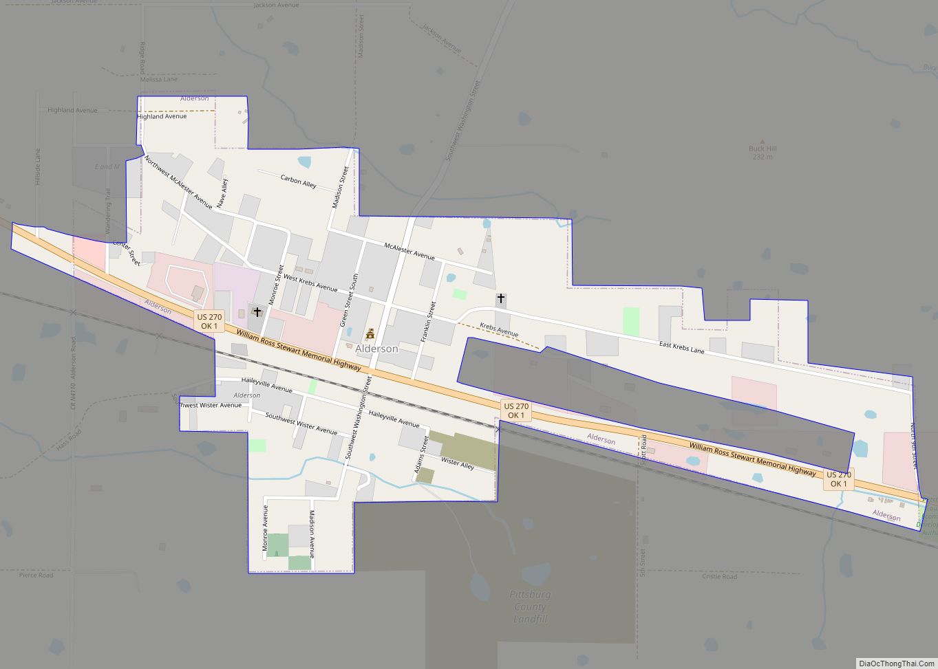
Krebs Road Map

Krebs city Satellite Map

Geography
Krebs is located at 34°55′46″N 95°43′16″W / 34.92944°N 95.72111°W / 34.92944; -95.72111 (34.929538, -95.721064). According to the United States Census Bureau, the city has a total area of 3.4 square miles (8.8 km), of which 3.4 sq mi (8.8 km) is land and 0.29% is water. Krebs is 3 miles (4.8 km) east of McAlester, the county seat, on U.S. Route 270 and State Highway 31.
See also
Map of Oklahoma State and its subdivision:- Adair
- Alfalfa
- Atoka
- Beaver
- Beckham
- Blaine
- Bryan
- Caddo
- Canadian
- Carter
- Cherokee
- Choctaw
- Cimarron
- Cleveland
- Coal
- Comanche
- Cotton
- Craig
- Creek
- Custer
- Delaware
- Dewey
- Ellis
- Garfield
- Garvin
- Grady
- Grant
- Greer
- Harmon
- Harper
- Haskell
- Hughes
- Jackson
- Jefferson
- Johnston
- Kay
- Kingfisher
- Kiowa
- Latimer
- Le Flore
- Lincoln
- Logan
- Love
- Major
- Marshall
- Mayes
- McClain
- McCurtain
- McIntosh
- Murray
- Muskogee
- Noble
- Nowata
- Okfuskee
- Oklahoma
- Okmulgee
- Osage
- Ottawa
- Pawnee
- Payne
- Pittsburg
- Pontotoc
- Pottawatomie
- Pushmataha
- Roger Mills
- Rogers
- Seminole
- Sequoyah
- Stephens
- Texas
- Tillman
- Tulsa
- Wagoner
- Washington
- Washita
- Woods
- Woodward
- Alabama
- Alaska
- Arizona
- Arkansas
- California
- Colorado
- Connecticut
- Delaware
- District of Columbia
- Florida
- Georgia
- Hawaii
- Idaho
- Illinois
- Indiana
- Iowa
- Kansas
- Kentucky
- Louisiana
- Maine
- Maryland
- Massachusetts
- Michigan
- Minnesota
- Mississippi
- Missouri
- Montana
- Nebraska
- Nevada
- New Hampshire
- New Jersey
- New Mexico
- New York
- North Carolina
- North Dakota
- Ohio
- Oklahoma
- Oregon
- Pennsylvania
- Rhode Island
- South Carolina
- South Dakota
- Tennessee
- Texas
- Utah
- Vermont
- Virginia
- Washington
- West Virginia
- Wisconsin
- Wyoming