Konawa is a city in Seminole County, Oklahoma, United States. The population was 1,298 at the 2010 census. Konawa is a Seminole word meaning, “string of beads.”
| Name: | Konawa city |
|---|---|
| LSAD Code: | 25 |
| LSAD Description: | city (suffix) |
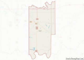
| State: | Oklahoma |
| County: | Seminole County |
| Elevation: | 965 ft (294 m) |
| Total Area: | 1.31 sq mi (3.40 km²) |
| Land Area: | 1.31 sq mi (3.40 km²) |
| Water Area: | 0.00 sq mi (0.00 km²) |
| Total Population: | 1,288 |
| Population Density: | 980.96/sq mi (378.66/km²) |
| ZIP code: | 74849 |
| Area code: | 580 |
| FIPS code: | 4040200 |
| GNISfeature ID: | 1094430 |
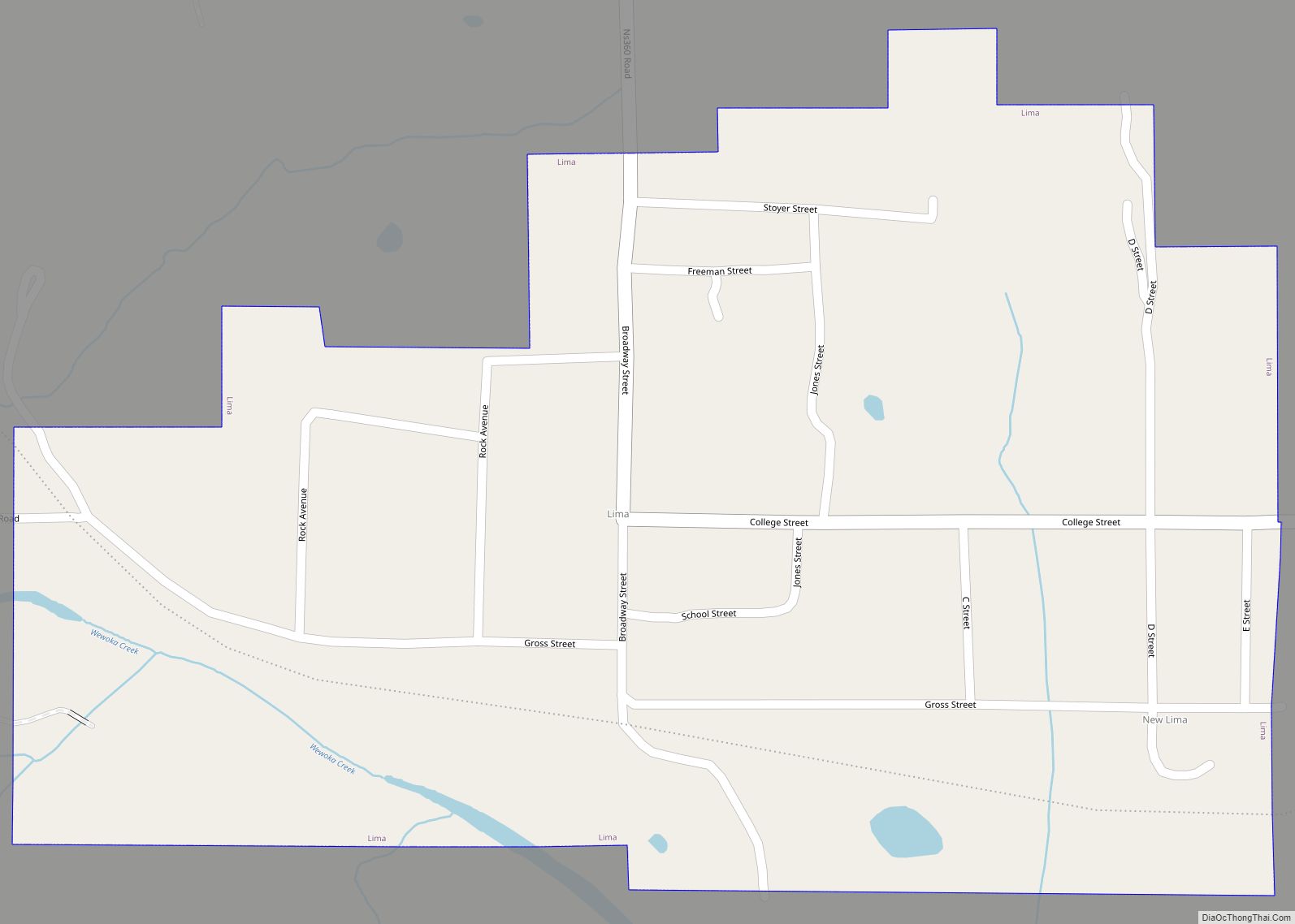
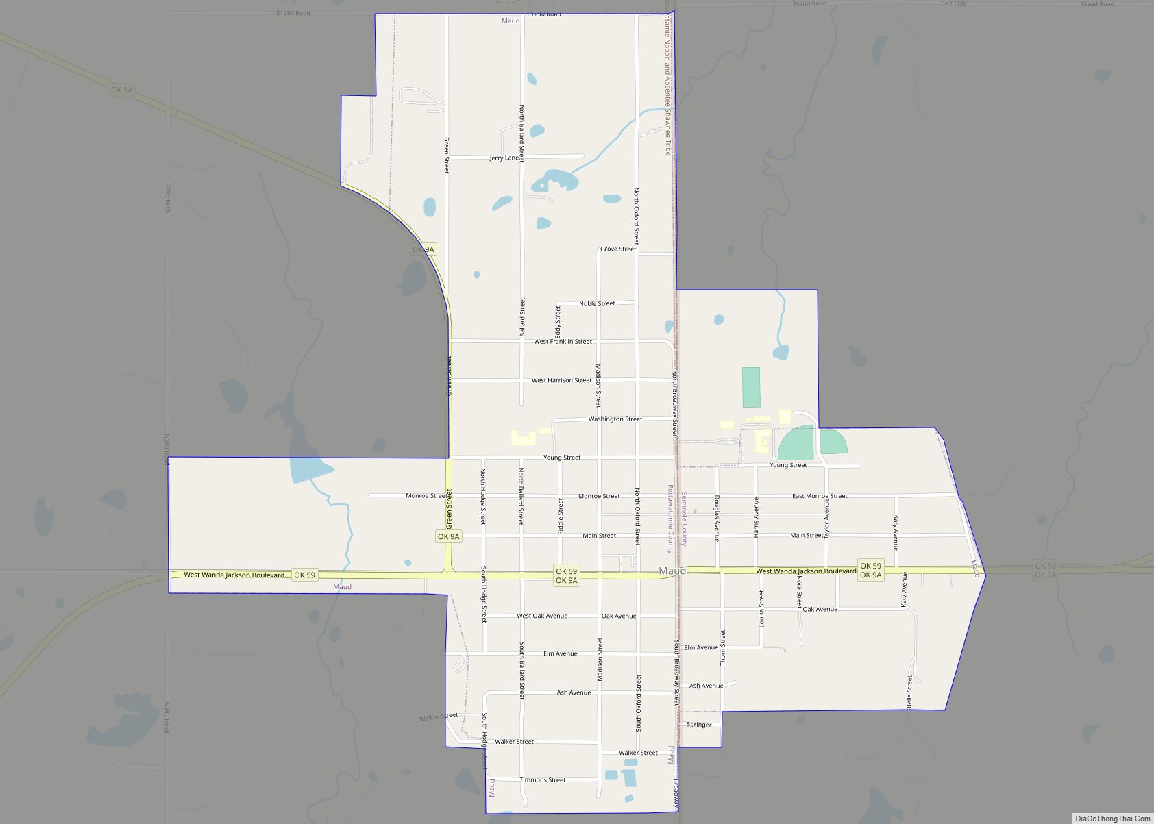
Online Interactive Map
Click on ![]() to view map in "full screen" mode.
to view map in "full screen" mode.
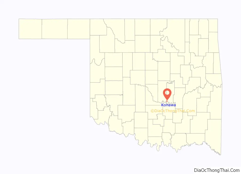
Konawa location map. Where is Konawa city?

History
Located in southwestern Seminole County, Konawa, a Seminole word meaning “string of beads,” lies at the intersection of State Highways 9A and 39. On January 7, 1904, Tom West, a mixed-blood Seminole, sold George Northrup a plot of land that became the Konawa townsite. The post office was established on July 15, 1904, with Robert C. Lovelace as postmaster. Early-day establishments included the first newspaper, the Konawa Chief, hardware and drug stores, lumberyards, a blacksmith, and a bank. In 1903, the Missouri, Kansas and Oklahoma Railroad (later the Missouri, Kansas and Texas Railway) bypassed the nearby town of Violet Springs. Most families and businesses moved to other towns. Some moved their houses to Konawa, and many of these buildings continued to stand at the turn of the twenty-first century.
Konawa served as a trade center for a surrounding agricultural region. At 1907 statehood, population stood at 620. The Konawa Leader has informed the citizens since 1917. During the 1920s streets were paved, several oil wells were discovered, and a new high school was built. In November 1931, Konawa attracted the attention of Pretty Boy Floyd, who robbed the First National Bank. During World War II, the Konawa National Guard Armory (National Register of Historical Places, NR 94000483), a WPA project, housed German prisoners of war. On February 17, 1961, a tornado destroyed downtown Konawa and injured five individuals.
The Sacred Heart Mission, which was the forerunner of St. Gregory’s University moved in 1876 from its original location in Atoka to a location near Konawa and became an abbey and later a school. After a disastrous fire in 1901 that destroyed the school and the monastery, the monks accepted an offer from the town of Shawnee and began construction of the Catholic University of Oklahoma and St. Gregory’s Abbey in 1910. In 1927, the abbey completely relocated from Konawa to Shawnee.
The energy industry remained a mainstay of the local economy, with oil-field service companies still important. In May 1968, Oklahoma Gas and Electric Corporation broke ground for the Seminole Power Plant, creating the 1,350-acre Konawa Reservoir at a cost of $45 million. By 1975, the third power unit with an output of more than 1.6 million kilowatts was built. Konawa Reservoir is one of Oklahoma’s top trophy lakes.
In August 1963, Konawa hosted its first All-Night Gospel Singing. During its heyday, an estimated twenty-five thousand people attended the annual event. The town maintains a council-city manager type of government. At the turn of the twenty-first century, Konawa had 1,479 residents.
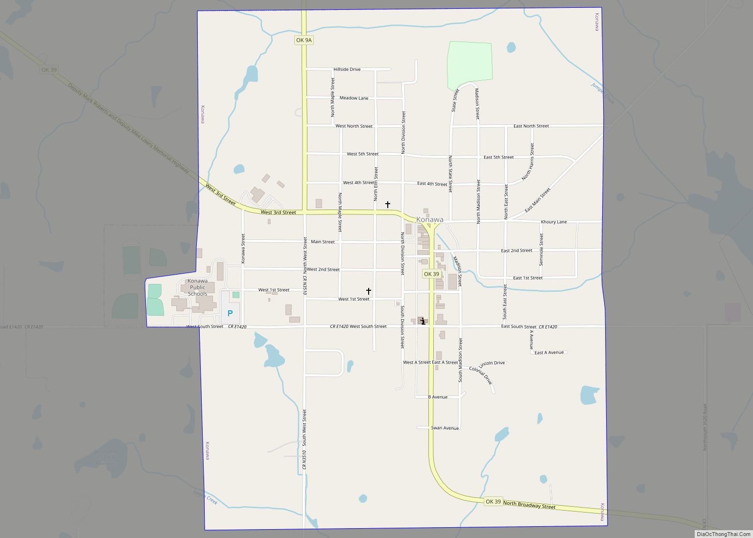
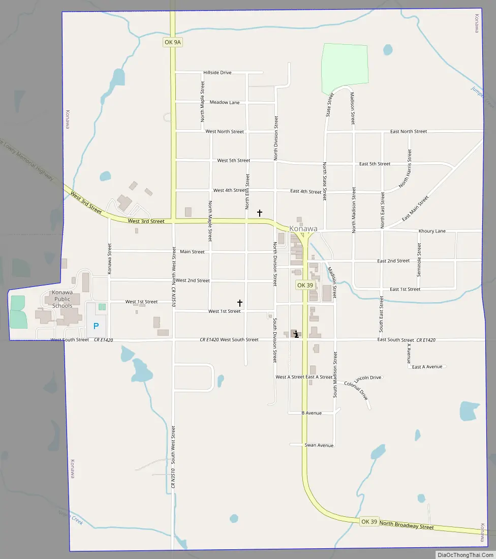
Konawa Road Map
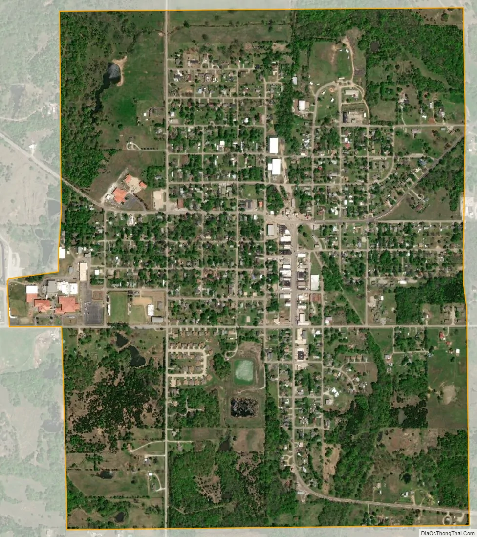
Konawa city Satellite Map
Geography
Konawa is located at 34°57′33″N 96°45′10″W / 34.95917°N 96.75278°W / 34.95917; -96.75278 (34.959284, -96.752863). According to the United States Census Bureau, the city has a total area of 1.4 square miles (3.6 km), all land.
The town is on Oklahoma State Highway 39, and is the endpoint for one section of State Highway 9A. Lake Konawa is directly to the east.
Climate
Climate is characterized by relatively high temperatures and evenly distributed precipitation throughout the year. Temperatures are high and can lead to warm, oppressive nights. Summers are usually somewhat wetter than winters, with much of the rainfall coming from convectional thunderstorm activity. The Köppen Climate Classification subtype for this climate is “Cfa” (Humid Subtropical Climate).
See also
Map of Oklahoma State and its subdivision:- Adair
- Alfalfa
- Atoka
- Beaver
- Beckham
- Blaine
- Bryan
- Caddo
- Canadian
- Carter
- Cherokee
- Choctaw
- Cimarron
- Cleveland
- Coal
- Comanche
- Cotton
- Craig
- Creek
- Custer
- Delaware
- Dewey
- Ellis
- Garfield
- Garvin
- Grady
- Grant
- Greer
- Harmon
- Harper
- Haskell
- Hughes
- Jackson
- Jefferson
- Johnston
- Kay
- Kingfisher
- Kiowa
- Latimer
- Le Flore
- Lincoln
- Logan
- Love
- Major
- Marshall
- Mayes
- McClain
- McCurtain
- McIntosh
- Murray
- Muskogee
- Noble
- Nowata
- Okfuskee
- Oklahoma
- Okmulgee
- Osage
- Ottawa
- Pawnee
- Payne
- Pittsburg
- Pontotoc
- Pottawatomie
- Pushmataha
- Roger Mills
- Rogers
- Seminole
- Sequoyah
- Stephens
- Texas
- Tillman
- Tulsa
- Wagoner
- Washington
- Washita
- Woods
- Woodward
- Alabama
- Alaska
- Arizona
- Arkansas
- California
- Colorado
- Connecticut
- Delaware
- District of Columbia
- Florida
- Georgia
- Hawaii
- Idaho
- Illinois
- Indiana
- Iowa
- Kansas
- Kentucky
- Louisiana
- Maine
- Maryland
- Massachusetts
- Michigan
- Minnesota
- Mississippi
- Missouri
- Montana
- Nebraska
- Nevada
- New Hampshire
- New Jersey
- New Mexico
- New York
- North Carolina
- North Dakota
- Ohio
- Oklahoma
- Oregon
- Pennsylvania
- Rhode Island
- South Carolina
- South Dakota
- Tennessee
- Texas
- Utah
- Vermont
- Virginia
- Washington
- West Virginia
- Wisconsin
- Wyoming